Topics > Cumbria
Cumbria
 Note: This page relates to the ceremonial county of Cumbria. From 1st April 2023 two new unitary authorities ('Cumberland' and 'Westmorland and Furness') replaced Cumbria County Council and 6 district authorities. However, Cumbria remains a ceremonial county; retaining ceremonial boundary and the roles and responsibilities of the Lord Lieutenant and High Sheriff of Cumbria - based on 'The Cumbria (Structural Changes) Order 2022'.
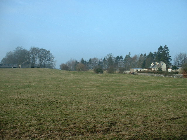
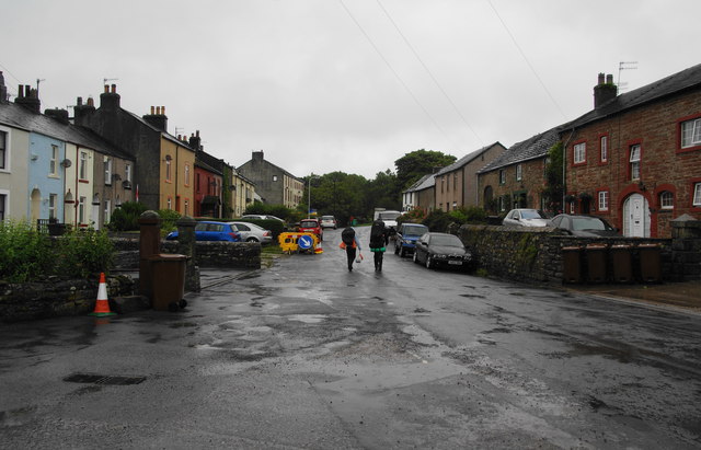
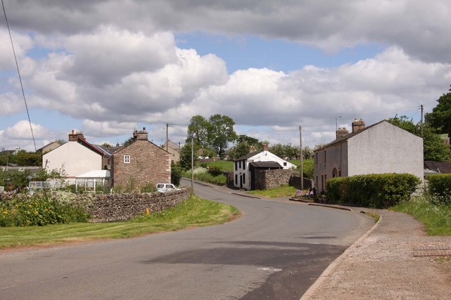
Cumbria is a ceremonial and non-metropolitan county in North West England. The county and Cumbria County Council, its local government, came into existence in 1974 after the passage of the Local Government Act 1972. Cumbria's county town is Carlisle, in the north of the county, and the only other major urban area is Barrow-in-Furness on the southwestern tip of the county.
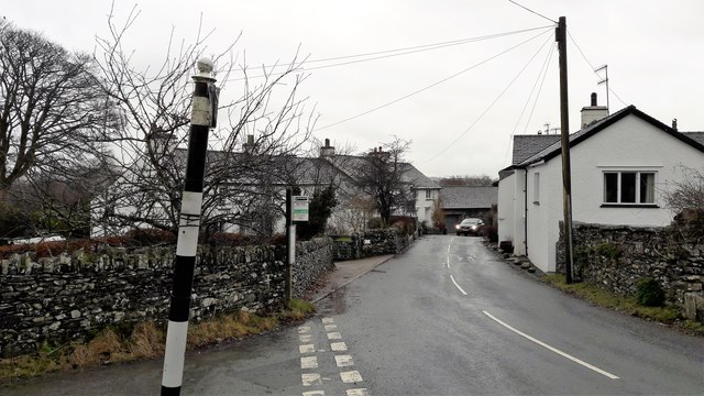
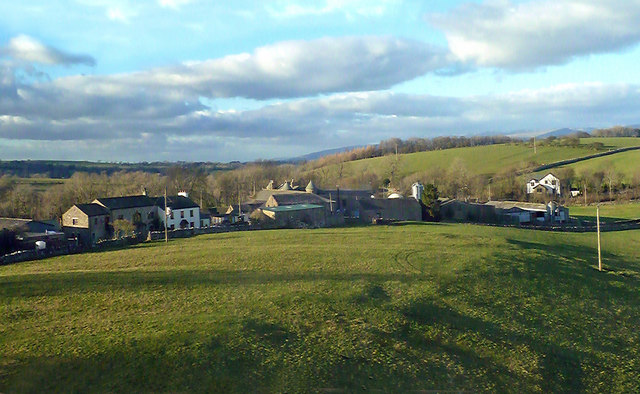
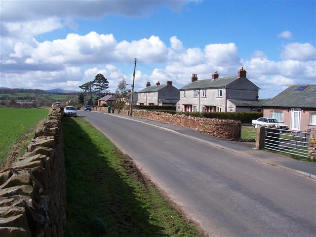
The county of Cumbria consists of six districts (Allerdale, Barrow-in-Furness, Carlisle, Copeland, Eden and South Lakeland), and in 2008 had a population of just under half a million. Cumbria is one of the most sparsely populated counties in the United Kingdom, with 73.4 people per km2 (190/sq mi).
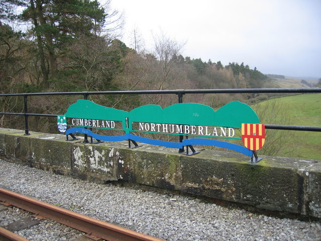
Cumbria is the third largest county in England by area, and is bounded to the north by the Scottish council areas of Dumfries and Galloway and Scottish Borders, to the west by the Irish Sea, to the south by Lancashire, to the southeast by North Yorkshire, and to the east by County Durham and Northumberland.
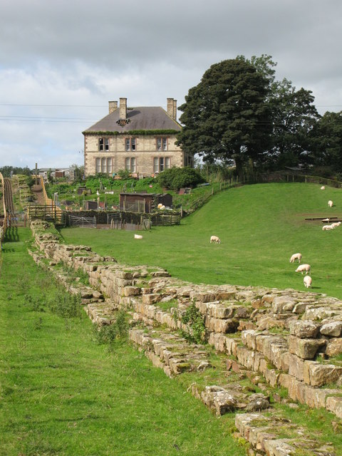
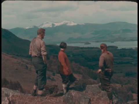
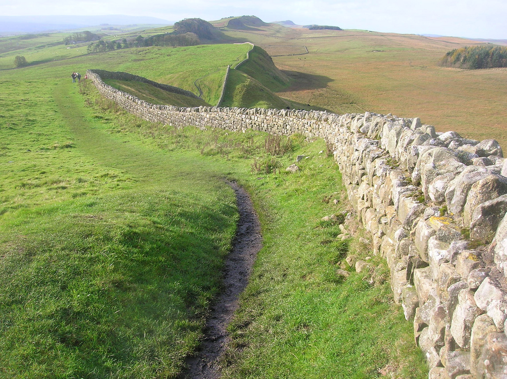
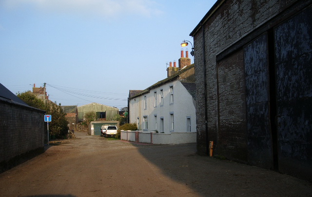
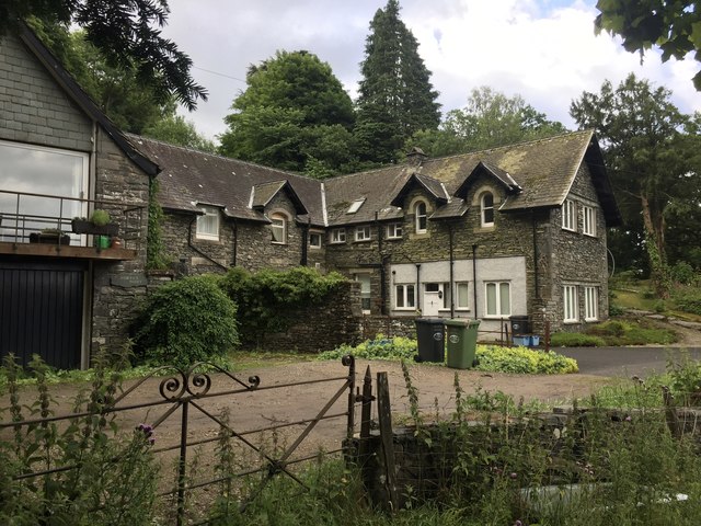
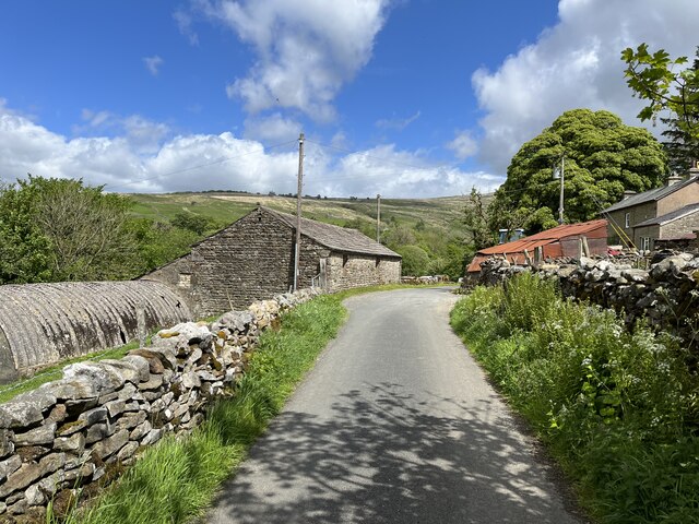
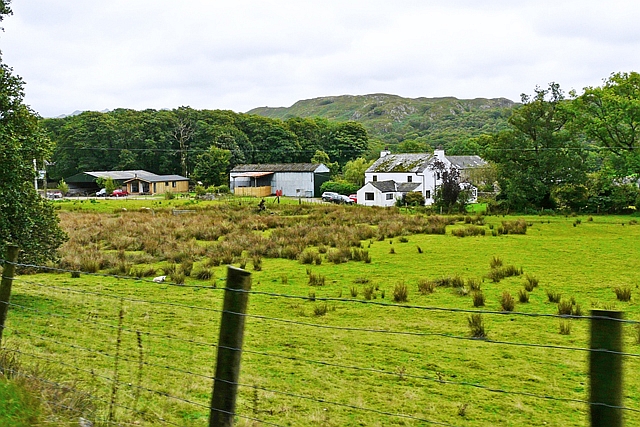
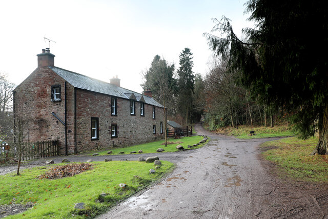
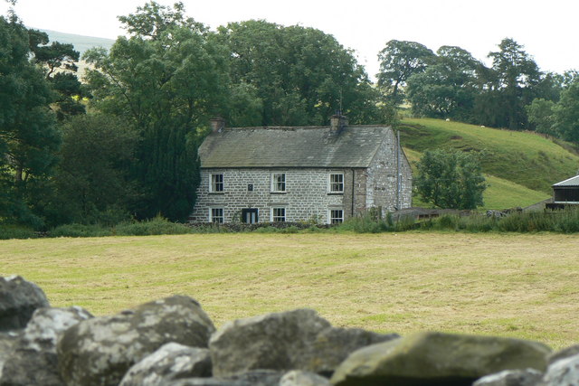
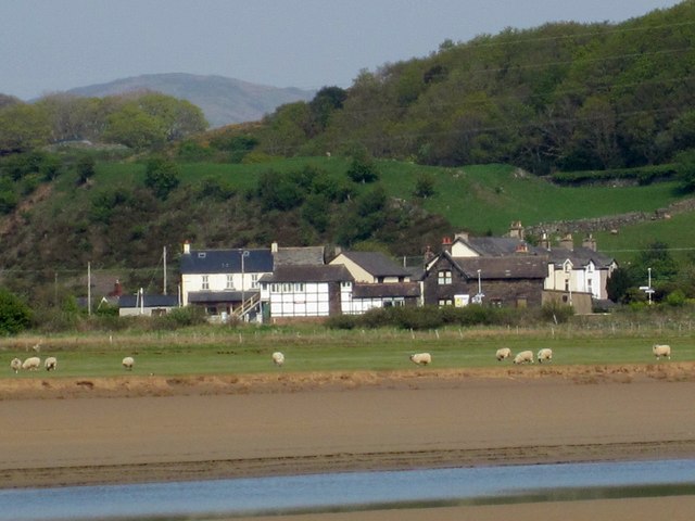
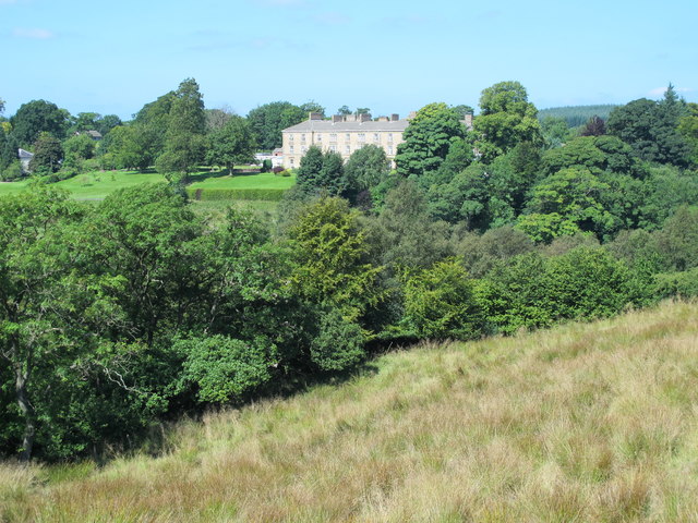
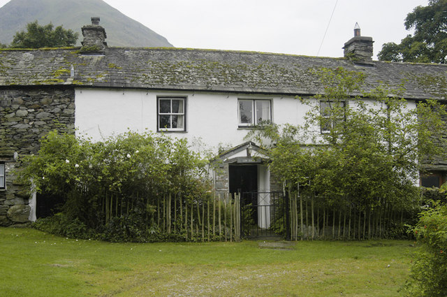
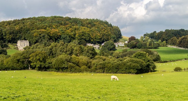
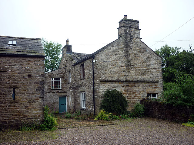
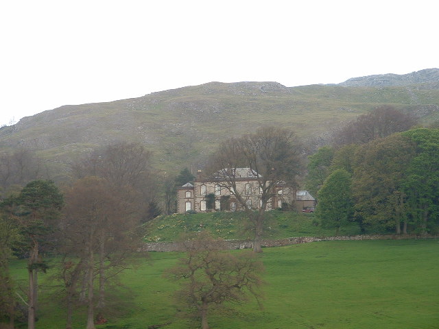
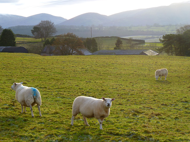
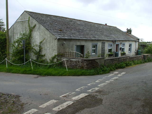
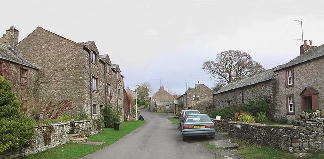
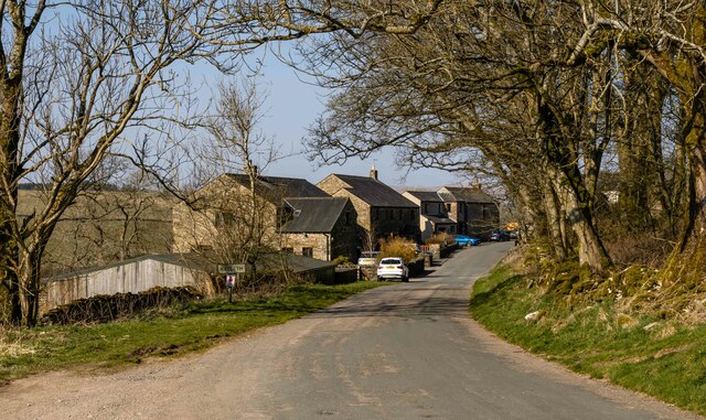
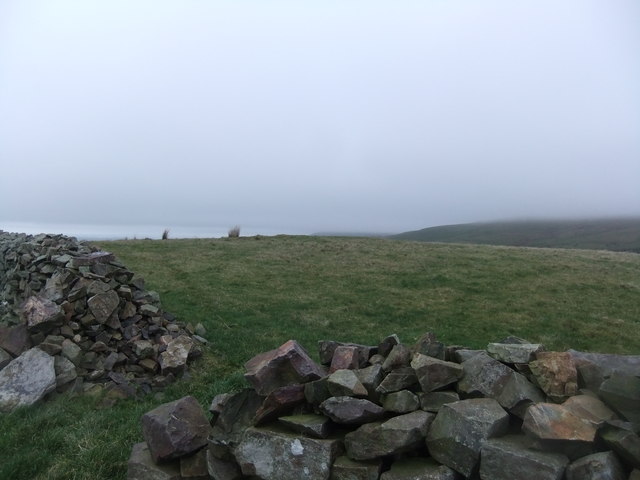
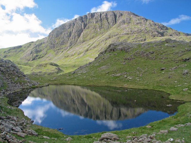
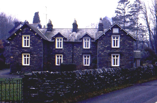
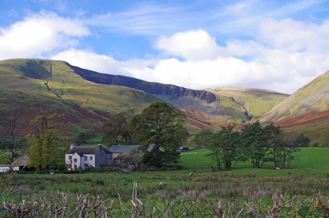
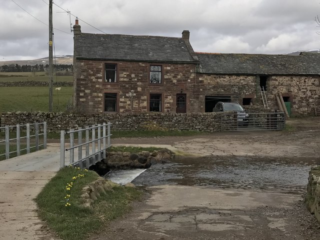
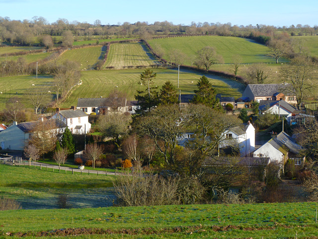
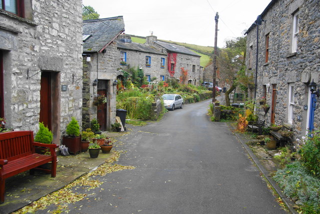
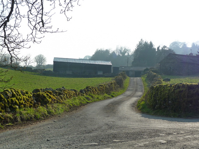
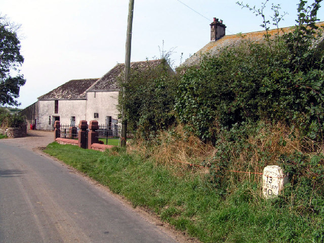
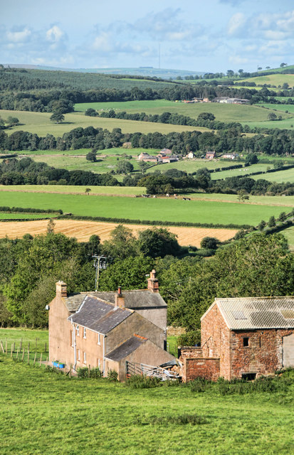
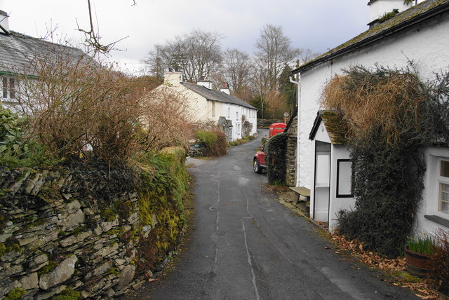
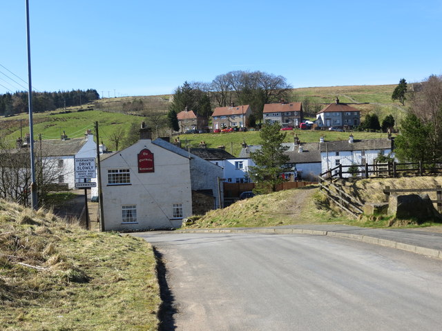
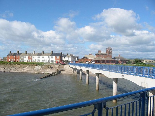
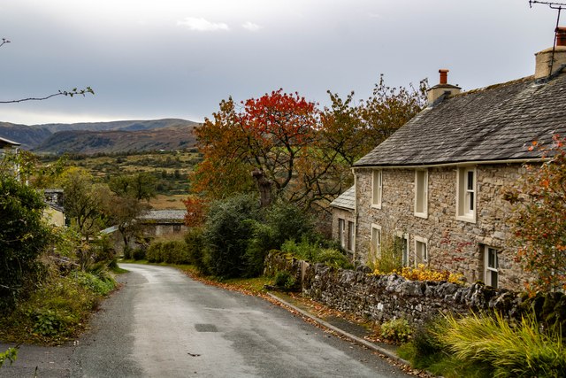
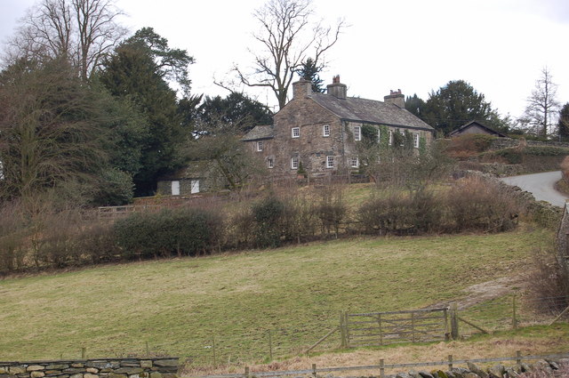
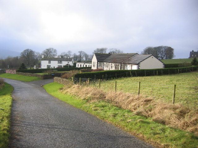
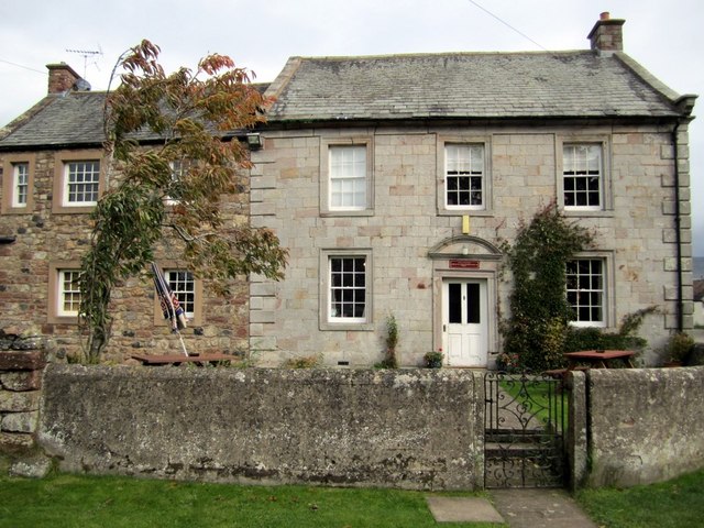
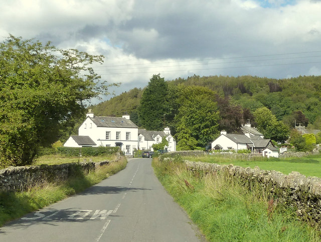
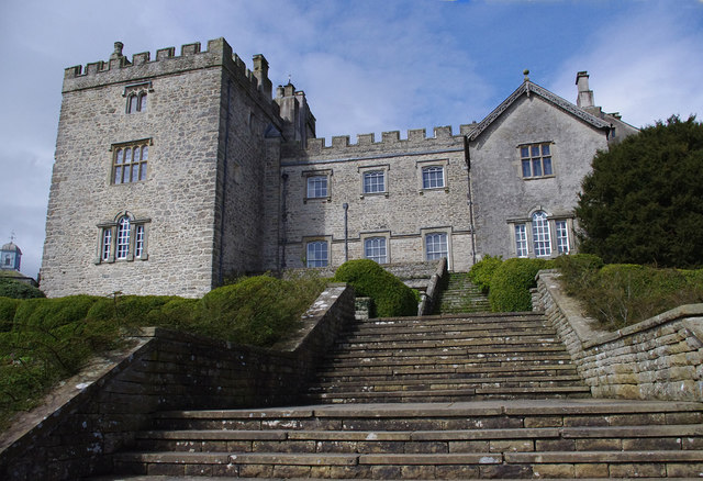
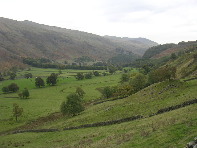
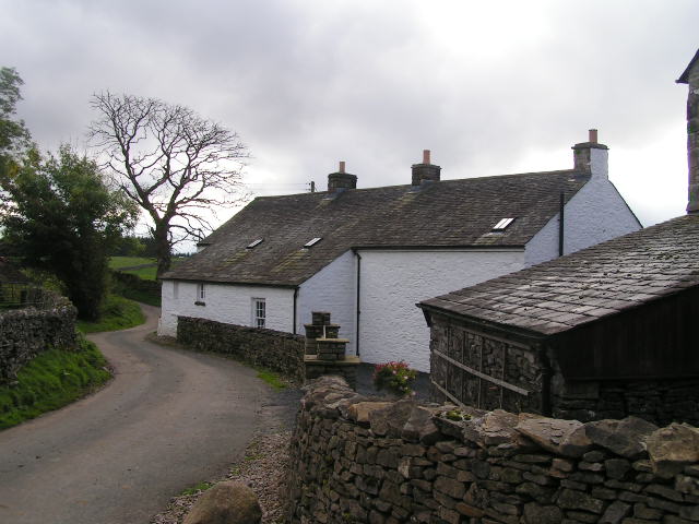
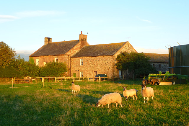
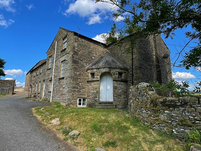
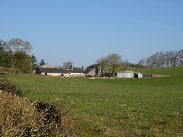
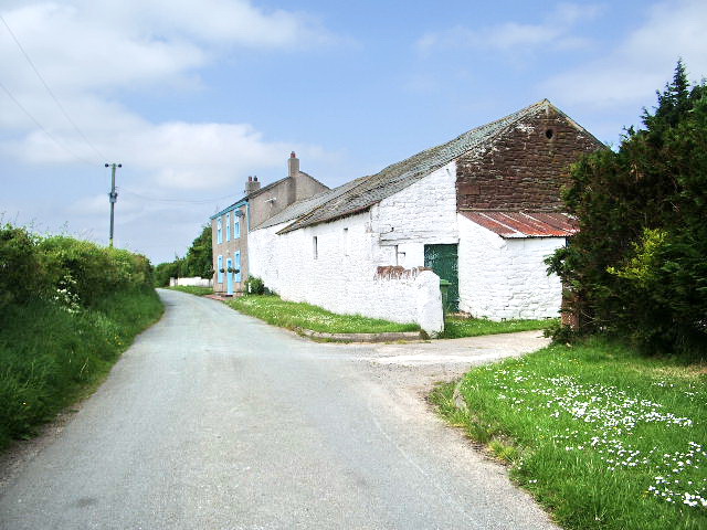
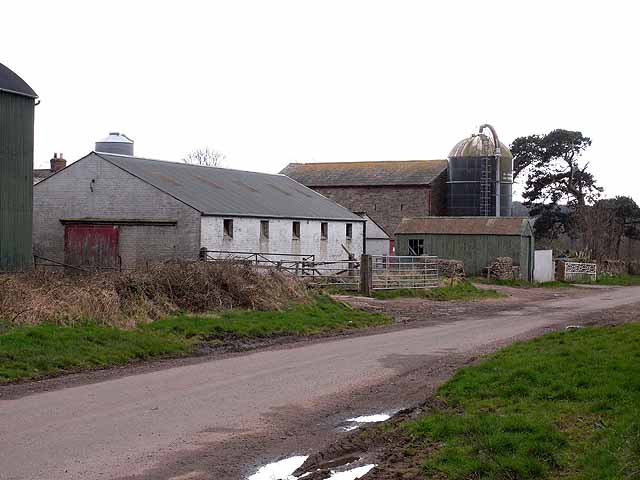
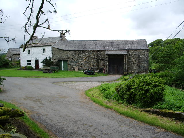
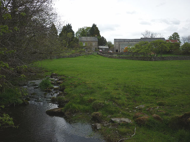
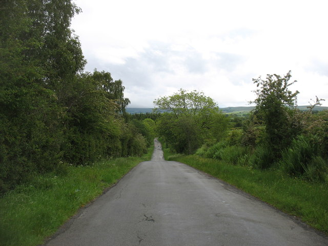
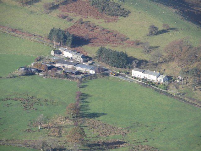
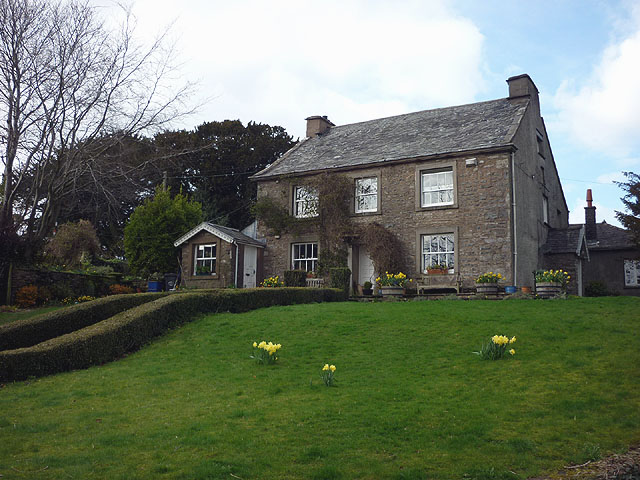
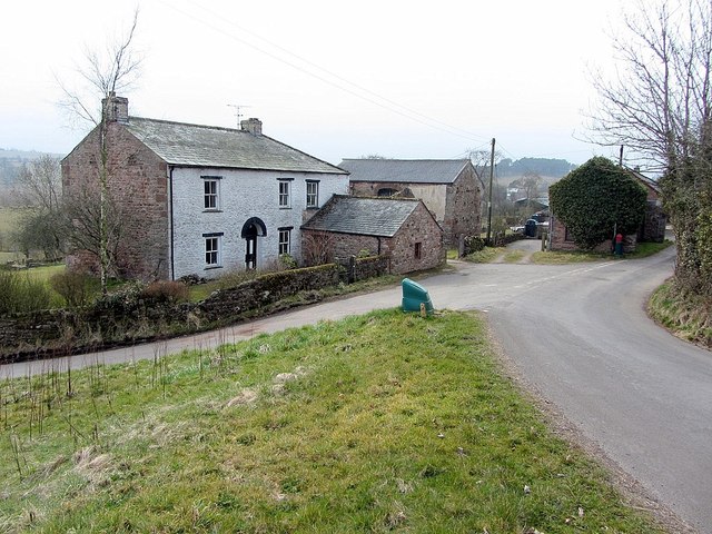
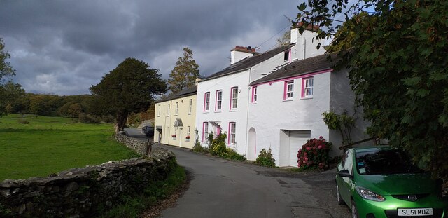
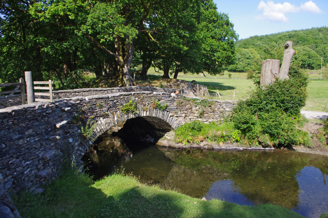
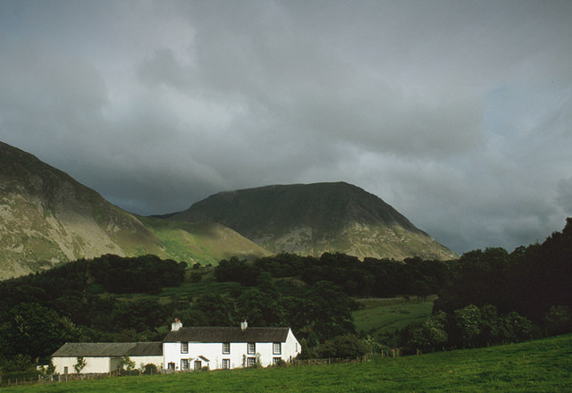
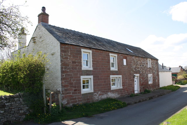
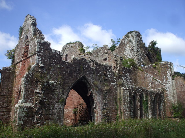
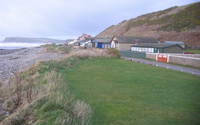
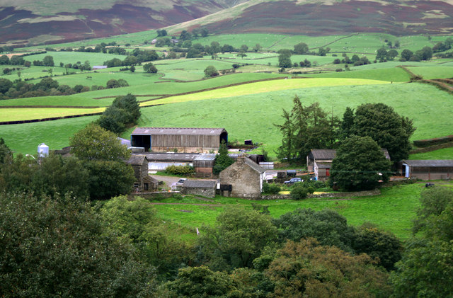
Cumbria is predominantly rural and contains the Lake District National Park, a UNESCO World Heritage Site considered one of England's finest areas of natural beauty, serving as inspiration for artists, writers, and musicians. A large area of the southeast of the county is within the Yorkshire Dales National Park while the east of the county fringes the North Pennines AONB. Much of Cumbria is mountainous, and it contains every peak in England over above sea level, with Scafell Pike at being the highest point of England. An upland, coastal, and rural area, Cumbria's history is characterised by invasions, migration, and settlement, as well as battles and skirmishes between the English and the Scots. Notable historic sites in Cumbria include Carlisle Castle, Furness Abbey, Hardknott Roman Fort, Brough Castle and Hadrian's Wall (also a World Heritage Site).
History
The county of Cumbria was created in April 1974 through an amalgamation of the administrative counties of Cumberland and Westmorland, to which parts of Lancashire (the area known as Lancashire North of the Sands) and the West Riding of Yorkshire were added.
During the Neolithic period the area contained an important centre of stone axe production (the so called 'Langdale Axe Factory'), products of which have been found across Great Britain. During this period stone circles and henges began to be built across the county and today 'Cumbria has one of the largest number of preserved field monuments in England'.
While not part of the region conquered in the Romans' initial conquest of Britain in 43 AD, most of modern-day Cumbria was later conquered in response to a revolt deposing the Roman-aligned ruler of the Brigantes in 69 AD. The Romans built a number of fortifications in the area during their occupation, the most famous being UNESCO World Heritage Site Hadrian's Wall which passes through northern Cumbria.
At the end of the period of British history known as Roman Britain () the inhabitants of Cumbria were Cumbric-speaking native Romano-Britons who were probably descendants of the Brigantes and Carvetii (sometimes considered to be a sub-tribe of the Brigantes) that the Roman Empire had conquered in about AD 85. Based on inscriptional evidence from the area, the Roman la of the Carvetii seems to have covered portions of Cumbria. The names Cumbria, cy (the native Welsh name for Wales), Cambria, and Cumberland are derived from the name these people gave themselves, *kombroges in Common Brittonic, which originally meant "compatriots".
Although Cumbria was previously believed to have formed the core of the Early Middle Ages Brittonic kingdom of Rheged, more recent discoveries near Galloway appear to contradict this. For the rest of the first millennium, Cumbria was contested by several entities who warred over the area, including the Brythonic Celtic Kingdom of Strathclyde and the Anglian kingdom of Northumbria. Most of modern-day Cumbria was a principality in the Kingdom of Scotland at the time of the Norman conquest of England in 1066 and thus was excluded from the Domesday Book survey of 1086. In 1092 the region was invaded by William II and incorporated into England. Nevertheless, the region was dominated by the many Anglo-Scottish Wars of the latter Middle Ages and early modern period and the associated Border Reivers who exploited the dynamic political situation of the region. There were at least three sieges of Carlisle fought between England and Scotland, and two further sieges during the Jacobite risings.
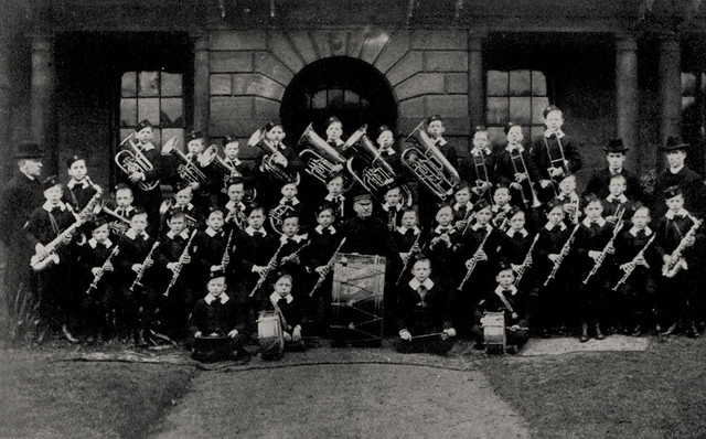
After the Jacobite Risings of the eighteenth century, Cumbria became a more stable place and, as in the rest of Northern England, the Industrial Revolution caused a large growth in urban populations. In particular, the west-coast towns of Workington, Millom and Barrow-in-Furness saw large iron and steel mills develop, with Barrow also developing a significant shipbuilding industry. Kendal, Keswick and Carlisle all became mill town, with textiles, pencils and biscuits among the products manufactured in the region. The early nineteenth century saw the county gain fame as the Lake Poets and other artists of the Romantic movement, such as William Wordsworth and Samuel Taylor Coleridge, lived among, and were inspired by, the lakes and mountains of the region. Later, the children's writer Beatrix Potter also wrote in the region and became a major landowner, granting much of her property to the National Trust on her death. In turn, the large amount of land owned by the National Trust assisted in the formation of the Lake District National Park in 1951, which remains the largest National Park in England and has come to dominate the identity and economy of the county.
The county of Cumbria was created in 1974 from the traditional counties of Cumberland and Westmorland, the Cumberland County Borough of Carlisle, along with the North Lonsdale or Furness part of Lancashire, usually referred to as "Lancashire North of the Sands", (including the county borough of Barrow-in-Furness) and, from the West Riding of Yorkshire, the Sedbergh Rural District. It is governed by Cumbria County Council.
Local papers The Westmorland Gazette and Cumberland and Westmorland Herald continue to use the name of their historic county. Other publications, such as local government promotional material, describe the area as "Cumbria", as do the Lake District National Park Authority and most visitors.
Geography
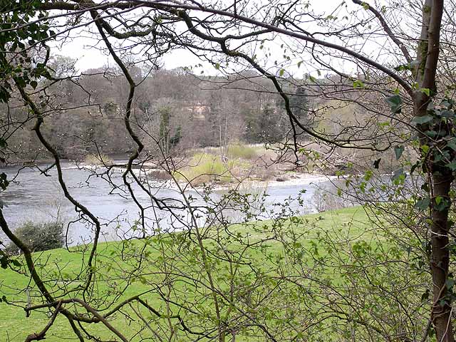
Cumbria is the most northwesterly county of England. The northernmost and southernmost points in Cumbria are just west of Deadwater, Northumberland and South Walney respectively. Kirkby Stephen (close to Tan Hill, North Yorkshire) and St Bees Head are the most easterly and westerly points of the county. Most of Cumbria is mountainous, with the majority of the county being situated in the Lake District while the Pennines, consisting of the Yorkshire Dales and the North Pennines, lie at the eastern and south-east areas of the county. At Scafell Pike is the highest point in Cumbria and in England. Windermere is the largest natural lake in England.
The Lancaster Canal runs from Preston into South Cumbria and is partly in use. The Ulverston Canal which once reached to Morecambe Bay is maintained although it was closed in 1945. The Solway Coast and Arnside and Silverdale AONB's lie in the lowland areas of the county, to the north and south respectively.
Boundaries and divisions
Cumbria is bordered by the English counties of Northumberland, County Durham, North Yorkshire, Lancashire, and the Scottish council areas of Dumfries and Galloway and Scottish Borders.
The boundaries are along the Irish Sea to Morecambe Bay in the west, and along the Pennines to the east. Cumbria's northern boundary stretches from the Solway Firth from the Solway Plain eastward along the border with Scotland to Northumberland.
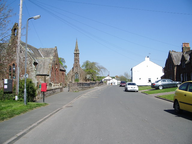
It is made up of six districts: Allerdale, Barrow-in-Furness, Carlisle, Copeland, Eden and South Lakeland. For many administrative purposes Cumbria is divided into three areas — East, West and South. East consists of the districts of Carlisle and Eden, West consists of Allerdale and Copeland, and South consists of Lakeland and Barrow.
In January 2007, Cumbria County Council voted in favour of an official bid to scrap the current two-tier system of county and district councils in favour of a new unitary Cumbria Council, to be submitted for consideration to the Department for Communities and Local Government. This was then rejected.
The county returns six Members of Parliament to the House of Commons, representing the constituencies of Carlisle, Penrith & The Border, Workington, Copeland, Westmorland and Lonsdale and Barrow & Furness.
Economy
Many large companies and organisations are based in Cumbria. The county council itself employs around 17,000 individuals, while the largest private employer in Cumbria, the Sellafield nuclear processing site, has a workforce of 10,000. Below is a list of some of the county's largest companies and employers (excluding services such as Cumbria Constabulary, Cumbria Fire and Rescue and the NHS in Cumbria)....
Tourism
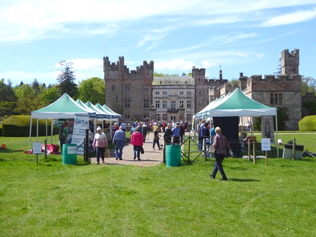
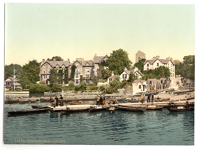
The largest and most widespread industry in Cumbria is tourism. The Lake District National Park alone receives some 15.8 million visitors every year. Despite this, fewer than 50,000 people reside permanently within the Lake District – mostly in Ambleside, Bowness-on-Windermere, Coniston, Keswick, Grasmere and Windermere. Over 36,000 Cumbrians are employed in the tourism industry which adds £1.1 billion a year to the county's economy. The Lake District and county as a whole attracts visitors from across the UK, Europe, North America and the Far East (particularly Japan). The tables below show the twenty most-visited attractions in Cumbria in 2009 (please note that not all visitor attractions provided data to Cumbria Tourism who collated the list. Notable examples are Furness Abbey, the Lakes Aquarium and South Lakes Safari Zoo, the latter of which would almost certainly rank within the top five).
Economic outputThis is a chart of trend of regional gross value added (GVA) of East Cumbria at current basic prices published (pp. 240–253) by Office for National Statistics with figures in millions of British Pounds Sterling. This is a chart of trend of regional gross value added of West Cumbria at current basic prices published (pp. 240–253) by Office for National Statistics with figures in millions of British Pounds Sterling. EducationAlthough Cumbria has a comprehensive system almost in toto, it has one state grammar school in Penrith. There are 42 state secondary schools and 10 independent schools. The more rural secondary schools tend to have sixth forms (although in Barrow-in-Furness district, no schools have sixth forms) and this is the same for three schools in Allerdale and South Lakeland, and one in the other districts. Chetwynde is also the only school in Barrow to educate children from nursery all the way to sixth form level. Colleges of further education in Cumbria include:-
The University of Cumbria is one of the UK's newest universities having been established in 2007, it is at present the only university in Cumbria and has campuses across the county, together with Lancaster and London. TransportThe M6 is the only motorway that runs through Cumbria. Kendal and Penrith are amongst its primary destinations before it becomes the A74(M) just north of Carlisle. Major A roads within Cumbria include:
Several bus companies run services in Cumbria serving the main towns and villages in the county, with some services running to neighbouring areas such as Lancaster. Stagecoach North West is the largest; it has depots in Barrow-in-Furness, Carlisle, Kendal and Workington. Stagecoach's flagship X6 route connects Barrow-in-Furness and Kendal in south Cumbria. There are only two airports in the county: Carlisle Lake District and Barrow/Walney Island. Both airports formerly served scheduled passenger flights and both are proposing expansions and renovations to handle domestic and European flights in the near future. The nearest international airports to south Cumbria are Blackpool, Manchester and Liverpool John Lennon. North Cumbria is closer to Newcastle, Glasgow Prestwick and Glasgow International. Barrow-in-Furness is one of the country's largest shipbuilding centres, but the Port of Barrow is only minor, operated by Associated British Ports alongside the Port of Silloth in Allerdale. There are no ferry links from any port or harbour along the Cumbria coast. The busiest railway stations in Cumbria are Carlisle, Barrow-in-Furness, Penrith and Oxenholme Lake District. The West Coast Main Line runs for through the Cumbria countryside adjacent to the M6 motorway. The Cumbrian Coast Line connects Barrow-in-Furness to Carlisle and is a vital link in the west of the county. Other railways in Cumbria are the Windermere Branch Line, most of the Furness Line and much of the Settle-Carlisle Railway. DemographyCumbria's largest settlement and only city is Carlisle, in the north of the county. The largest town, Barrow-in-Furness, in the south, is slightly smaller. The county's population is largely rural: it has the second-lowest population density among English counties, and has only five towns with a population of over 20,000. Cumbria is also one of the country's most ethnically homogeneous counties, with 95.1% of the population categorised as White British (around 470,900 of the 495,000 Cumbrians). However, the larger towns have ethnic makeups that are closer to the national average. The 2001 census indicated that Christianity was the religion with the most adherents in the county. 2010 ONS estimates placed the number of foreign-born (non-United Kingdom) people living in Cumbria at around 14,000 and foreign nationals at 6,000. The 2001 UK Census showed the following most common countries of birth for Cumbrians that year: SettlementsThe table below has divided the settlements into their local authority district. Each district has a centre of administration; for some of these correlate with a district's largest town, while others are named after the geographical area.
Town and city twinningsSymbols and county emblemsThe arms of Cumbria County Council were granted by the College of Arms on 10 October 1974. The arms represent the areas from which the new county council's area was put together; the shield's green border has Parnassus flowers representing Cumberland interspersed with roses; red for Lancashire (the Furness district) on white for Yorkshire (Sedbergh is from the West Riding). The crest is a ram's head crest, found in the arms both of Westmorland County Council and Barrow County Borough, with Cumberland's Parnassus flowers again. The supporters are the legendary Dacre Bull (Cumberland) and a red dragon, redolent of Cumbria's Brittonic origin.(Appleby in Westmorland). They stand on a base compartment representing Hadrian's Wall (in Cumberland), crossed with two red bars (from the Westmorland arms). The county council motto "Ad Montes Oculos Levavi" is Latin, from Psalm 121; ("I shall lift up mine eyes unto the hills"). The county flag of Cumbria is a banner of arms of Cumbria County Council. SportCraven Park, Barrow.jpg|thumb|right|Craven Park, home of Barrow Raiders RunningFell running is a popular sport in Cumbria, with an active calendar of competitions taking place throughout the year. FootballCarlisle United are the only professional football team in Cumbria and currently play in League Two (4th Tier in the English football pyramid). They attract support from across Cumbria and beyond, with many Cumbrian "ex-pats" travelling to see their games, both home and away. Barrow and Workington A.F.C.—who are always known locally as "the reds"—are well-supported non-league teams, having both been relegated from the Football League in the 1970s, with Barrow being one of the best supported non-league football teams in England. Recently Workington A.F.C. have made a rapid rise up the non league ladder and in 2007/08 competed with Barrow in the Conference North (Tier 6). Barrow were then promoted to the Blue Square Premier (Tier 5) in 2007/08. Rugby leagueRugby league is a very popular sport in South and West Cumbria. Barrow, Whitehaven and Workington play in the Rugby League National Leagues and Carlisle in the Rugby League Conference. Amateur teams; Wath Brow Hornets, Askam, Egremont Rangers, Kells, and Millom play in the National Conference. Rugby unionRugby union is popular in the east of the county with teams such as Furness RUFC & Hawcoat Park RUFC (South Cumbria), Workington RUFC (Workington Zebras), Carlisle RUFC, Aspatria RUFC, Wigton RUFC, Kendal RUFC, Kirkby Lonsdale RUFC, Keswick RUFC, Cockermouth RUFC, Upper Eden RUFC and Penrith RUFC. CricketCumberland County Cricket Club is one of the cricket clubs that constitute the Minor Counties in the English domestic cricket structure. The club, based in Carlisle, competes in the Minor Counties Championship and the MCCA Knockout Trophy. The club also play some home matches in Workington, as well as other locations. Cumbrian club cricket teams play in the North Lancashire and Cumbria League. SpeedwayWorkington Comets are a Workington based professional speedway team, which competes in the British Speedway Championship. OtherUppies and Downies Workington is home to the ball game known as Uppies and Downies, a traditional version of football, with its origins in Medieval football or an even earlier form. Players from outside Workington do take part, especially fellow West Cumbrians from Whitehaven and Maryport. Wrestling Cumberland and Westmorland wrestling is an ancient and well-practised tradition in the county with a strong resemblance to Scottish Backhold. In the 21st century Cumberland and Westmorland wrestling along with other aspects of Lakeland culture are practised at the Grasmere Sports and Show, an annual meeting held every year since 1852 on the August Bank Holiday. The origin of this form of wrestling is a matter of debate, with some describing it as having evolved from Norse wrestling brought over by Viking invaders, while other historians associate it with the Cornish and Gouren styles indicating that it may have developed out of a longer-standing Celtic tradition. American football Cumbria is home to the Walney Terriers and the Carlisle Border Reivers, which are rival amateur American football teams, despite a relatively low level of interest in the sport throughout the county. Karting Cumbria Kart Racing Club is based at the Lakeland Circuit, Rowrah, between Cockermouth and Egremont [https://web.archive.org/web/20120421201446/http://www.cumbriakrc.co.uk/index.php?option=com_content&view=article&id=43&Itemid=48]. The track is currently a venue for rounds of both major UK national karting championships [https://web.archive.org/web/20120421212608/http://www.cumbriakrc.co.uk/index.php?option=com_content&view=article&id=1&Itemid=19]. Formula One world champions Lewis Hamilton and Jenson Button both raced karts at Rowrah many times in the formative stages of their motor sport careers [https://web.archive.org/web/20120421212608/http://www.cumbriakrc.co.uk/index.php?option=com_content&view=article&id=1&Itemid=19], while other F1 drivers, past and present, to have competed there include Johnny Herbert, Anthony Davidson, Allan McNish, Ralph Firman, Paul di Resta and David Coulthard, who hailed from just over the nearby Anglo-Scottish border and regarded Rowrah as his home circuit, becoming Cumbria Kart Racing Club Champion in 1985 in succession to McNish (di Resta also taking the CKRC title subsequently) [https://web.archive.org/web/20120111011816/http://www.egremont-today.com/812rowrah.htm].
MediaTwo evening newspapers are published daily in Cumbria. The News and Star focuses largely on Carlisle and the surrounding areas of north and west Cumbria, and the North-West Evening Mail is based in Barrow-in-Furness and covers news from across Furness and the South Lakes. The Cumberland and Westmorland Herald and The Westmorland Gazette are weekly newspapers based in Penrith and Kendal respectively. Due to the size of Cumbria the county spans two television zones: BBC North East and Cumbria and ITV Tyne Tees & Border in the north and BBC North West and ITV Granada in the south. Heart North Lancashire and Cumbria, CFM Radio and Smooth Lake District are the most popular local radio stations throughout the county, with BBC Radio Cumbria being the only station that is aimed at Cumbria as a whole. The Australian-New Zealand feature film The Navigator: A Medieval Odyssey (1988) is set in Cumbria during the onset of the Black Death in 14th-century Europe. Cumbria is host to a number of festivals, including Kendal Calling (actually held in Penrith since 2009) and Kendal Mountain Festival. Places of interest
Notable people
|
Co-Curate Page
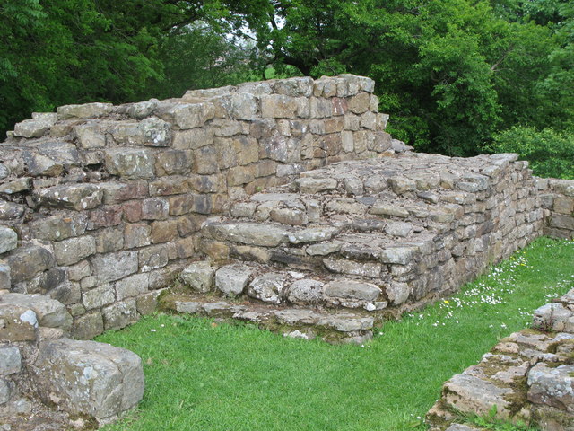
Poltross Burn Milecastle, Hadrian's Wall
- Overview About Milecastle 48 Map Street View Poltross Burn, located near Gilsland, is one of the best-preserved milecastles on Hadrian's Wall. It is larger than most other milecastles, housing two …
Co-Curate Page
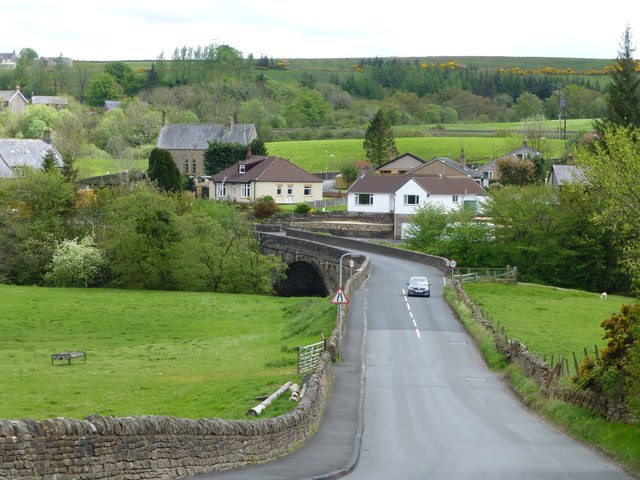
Gilsland
- Overview About Gilsland Map Street View Gilsland is a village which straddles the border between the counties of Cumbria and Northumberland. Gilsland is a village in northern England about 20 miles …
Co-Curate Page
Coast to Coast Cycle Route
- "The Sea to Sea (C2C) cycle route was developed by Sustrans in partnership with various Local Authorities, Groundwork West Cumbria, North Pennines Tourism Partnership, Forest Enterprise and the Lake District …

Co-Curate Page
Our Memories of Evacuation from Newcastle to Cumbria
- Our names are Pat and Terry and we've been married for fifty years. We both have memories of evacuation during WW2 and we'd like to recount some of them here. …
from Newcastle libraries (flickr)
050593:Bishop Chadwick Memorial School Stanwix Cumbria Northern Gossip 1906
Pinned by Simon Cotterill
Co-Curate Page
Hadrian's Wall
- Overview About Hadrian's Wall Map Hadrian's Wall Glossary Hadrian's Wall stretches over 73 miles (117 km) coast to coast across Northern England. Construction began in AD 122 during the rule …
from Flickr (flickr)
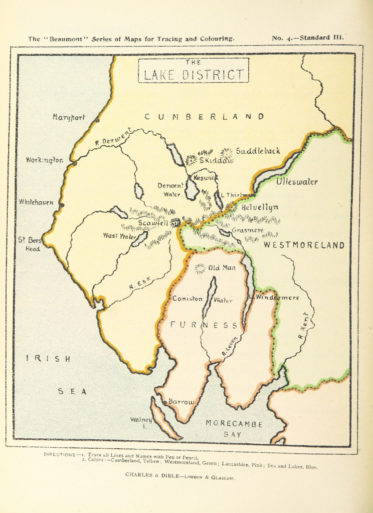
Image taken from page 34 of 'How to draw and colour a Map: being a guide to the “Beaumont” series of geography and map tracing books ... Illustrated'
Pinned by Simon Cotterill
from Flickr (flickr)
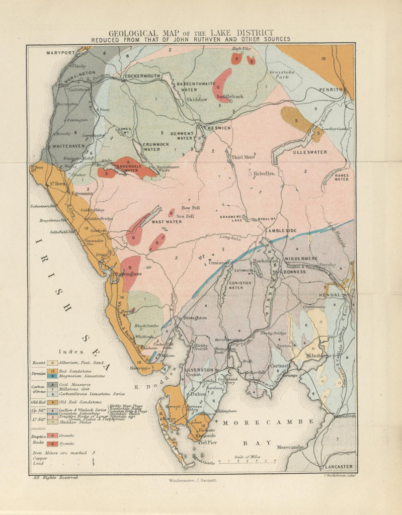
Image taken from page 6 of 'Guide to the Highways of the Lake district of England. With maps and ... illustrations. Edited by J. G'
Pinned by Simon Cotterill

Co-Curate Page
Poltross Burn Milecastle, Hadrian's Wall
- Overview About Milecastle 48 Map Street View Poltross Burn, located near Gilsland, is one of the best-preserved milecastles on Hadrian's Wall. It is larger than most other milecastles, housing two …
Co-Curate Page
Gilsland
- Overview About Gilsland Map Street View Gilsland is a village which straddles the border between the counties of Cumbria and Northumberland. Gilsland is a village in northern England about 20 miles …
Co-Curate Page
Coast to Coast Cycle Route
- "The Sea to Sea (C2C) cycle route was developed by Sustrans in partnership with various Local Authorities, Groundwork West Cumbria, North Pennines Tourism Partnership, Forest Enterprise and the Lake District …
Co-Curate Page
Our Memories of Evacuation from Newcastle to Cumbria
- Our names are Pat and Terry and we've been married for fifty years. We both have memories of evacuation during WW2 and we'd like to recount some of them here. …
from Newcastle libraries (flickr)
050593:Bishop Chadwick Memorial School Stanwix Cumbria Northern Gossip 1906
Pinned by Simon Cotterill
Co-Curate Page
Hadrian's Wall
- Overview About Hadrian's Wall Map Hadrian's Wall Glossary Hadrian's Wall stretches over 73 miles (117 km) coast to coast across Northern England. Construction began in AD 122 during the rule …
from Flickr (flickr)
Image taken from page 34 of 'How to draw and colour a Map: being a guide to the “Beaumont” series of geography and map tracing books ... Illustrated'
Pinned by Simon Cotterill
from Flickr (flickr)
Image taken from page 6 of 'Guide to the Highways of the Lake district of England. With maps and ... illustrations. Edited by J. G'
Pinned by Simon Cotterill
Cumberland (ancient county)
Dodding Green
Drybeck
Dubwath
Eamont Bridge
Edderside, Cumbria
Elleray

Eskdale
Ewegales

Fellside, Caldbeck
Fisherground, Eskdale
Flakebridge, Appleby-in-Westmorland
Flakebridge, Orton
Fold Gate, nr Hawkshead
Force Forge, Cumbria
Foxfield, Cumbria
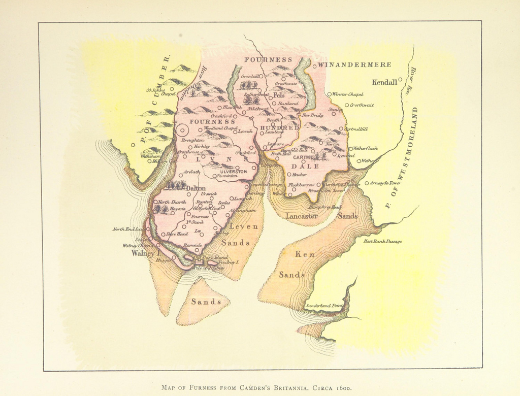
Furness
Gaisgill, Cumbria
Gaitsgill, Cumbria
Garden Village, Carlisle
Garnett Bridge
Gawthrop
Gilderdale
Gilsland Spa
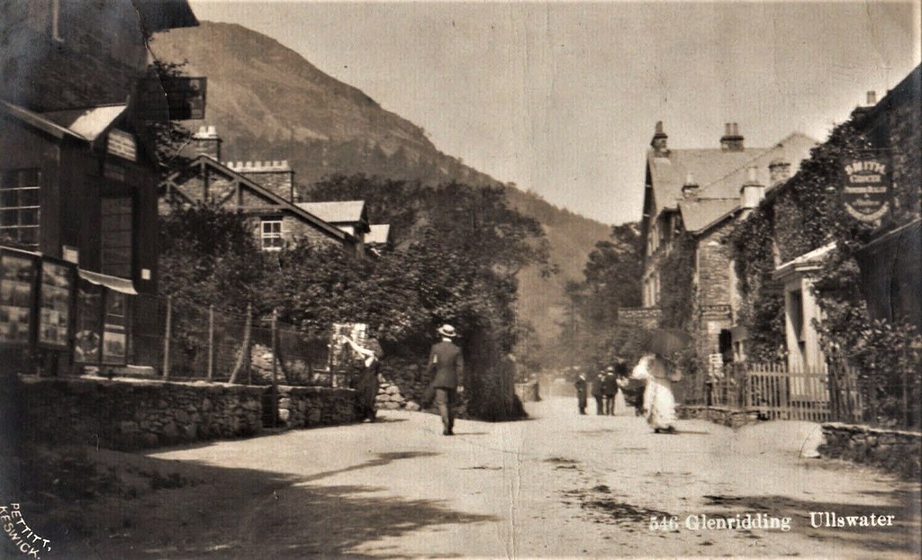
Glenridding
Grange, Borrowdale
Harrington, Cumbria
Hartsop
Haverbrack
Hawkshead Hill
Hebblethwaite Hall
Helbeck, Cumbria
High Biggins, Cumbria
High Cunsey
High Oaks, Sedbergh

Holme St. Cuthbert
Holmwrangle, Cumbria
How Hill, Castle Sowerby

Howgill, Sedbergh
Hunsonby, Cumbria
Hutton-in-the-Forest
Itonfield, Cumbria
Jericho, Cumbria

Kearstwick
Keld, Cumbria
Kelleth, Cumbria
Kelton, Cumbria
Kents Bank, Cumbria
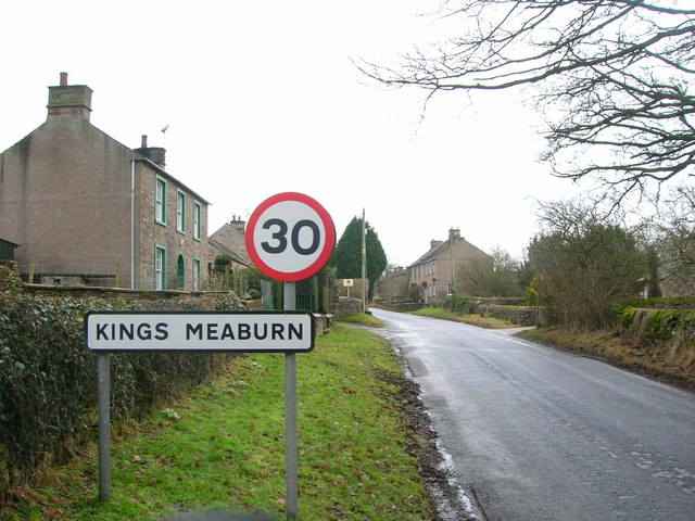
King's Meaburn
Kingfield, Cumbria
Lake District
Lakeside, Cumbria
Langton, Cumbria

Larkrigg, Cumbria
Little Blencow, Cumbria
Little Corby, Cumbria
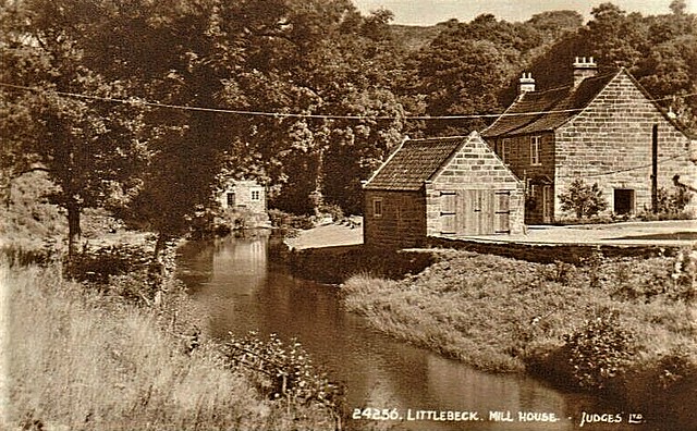
Littlebeck, Cumbria
Longcroft, Bowness
Loughrigg, Ambleside
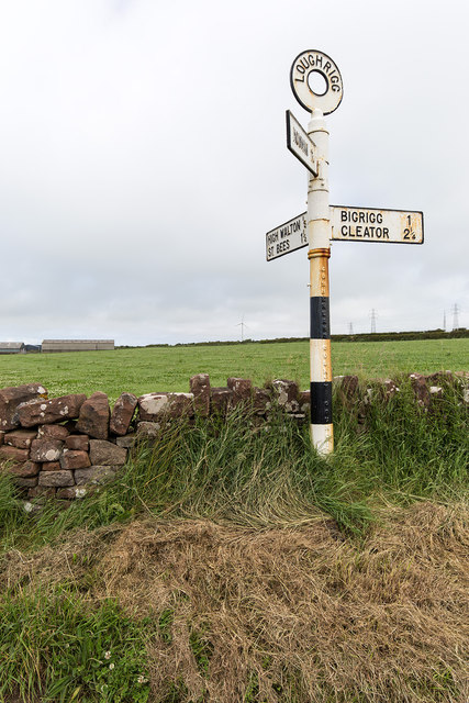
Loughrigg, St Bees
Low Biggins, Cumbria
Low Haygarth, Cumbria
Low Row, Nether Denton, Cumbria
Lower Hawthwaite
Mansergh, Cumbria
Meal Bank, Cumbria
Mealo
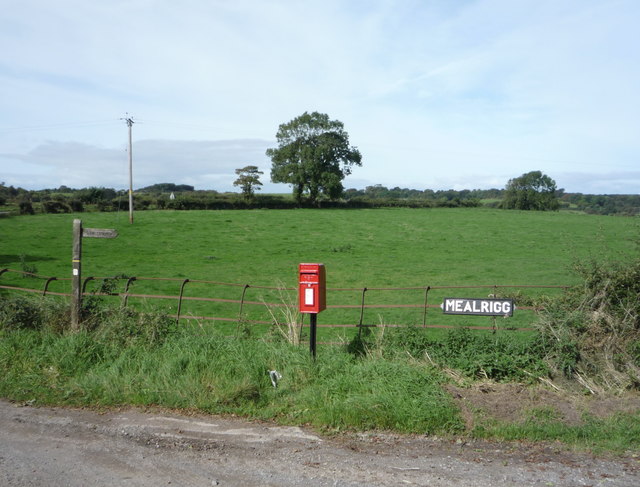
Mealrigg, Cumbria
Meathop
Middlesceugh
Milburn Grange, Cumbria
Millhouse, Castle Sowerby
Millthrop
Mislet
Miteside, Cumbria
Moor Row, Cumbria
Moorend, Thursby
Moorthwaite, Wigton
Moss Side, Holme East Waver

Nether Denton, 1848
Netherby, Cumbria
Newbiggin, Kirkby Thore
Newby Cross, Carlisle
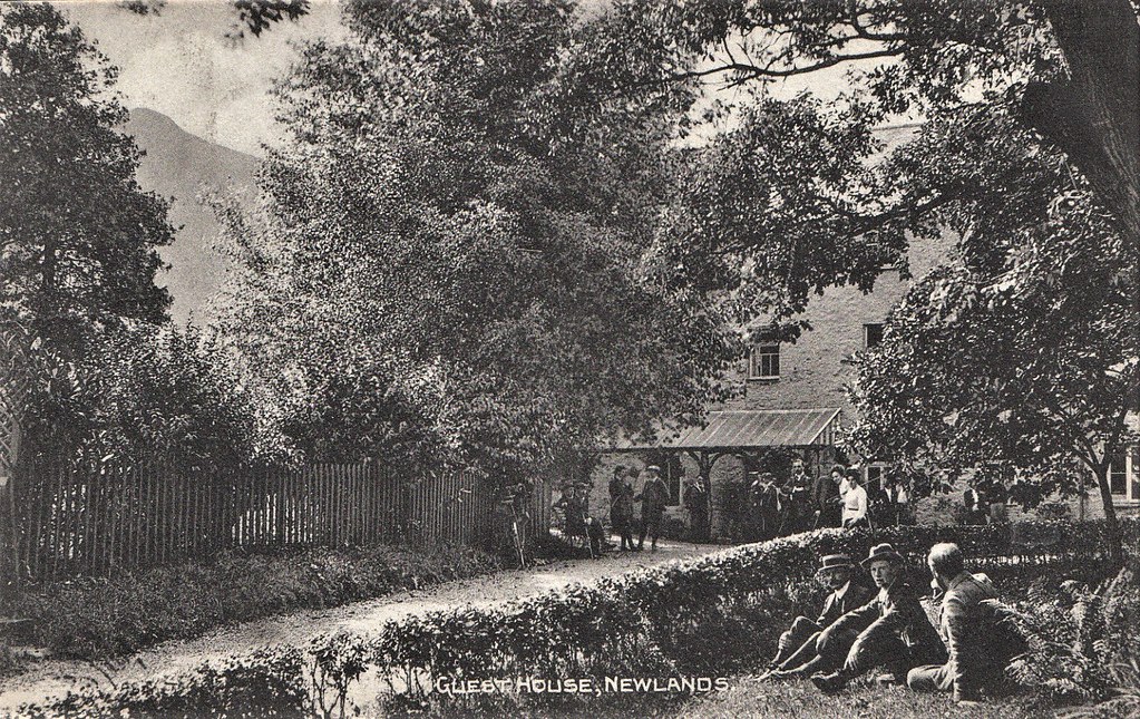
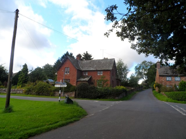
Newlands Valley, Cumbria
Newlands, Castle Sowerby
Newton Field, Cumbria

Newtown, Holme St Cuthbert
Newtown, Lowther
Nibthwaite
Northsceugh
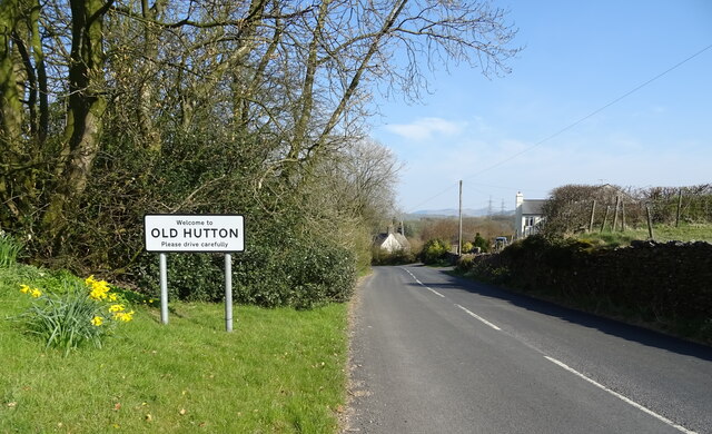
Old Hutton, Cumbria
Old Town, Mansergh
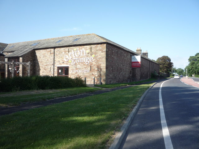
Orton Grange (near Carlisle)
Oulton, Cumbria
Outgate, Cumbria
Overwater, Nenthead
Parkgate, Waverton, Cumbria
Patton Bridge
Petteril Crook, Cumberland
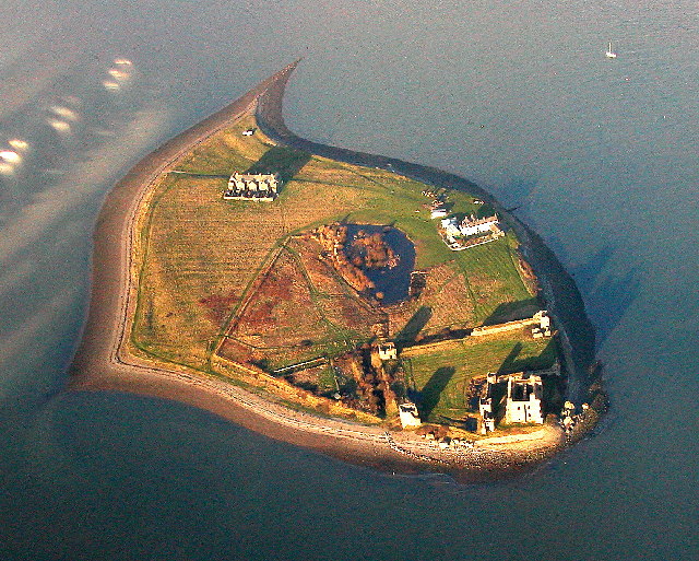
Piel Island
Plumpton Head
Port Carlisle
Prizet
Rampside
Rash, Sedbergh
Raughton, Cumbria
Rawfold, Dunnerdale
Reagill
Rigmaden, Cumbria
Risehow, Cumbria

Rivers in Cumbria
Roa Island
Rockcliffe Cross
Roebanks
Roger Ground, Hawkshead
Rosgill, Cumbria
Rusland Cross

Salta
Salter and Eskett
Sandford, Cumbria

Sandraw
Sandside, Cumbria
Sandwith
Santon Bridge
Santon, Cumbria
Satterthwaite

Schools in Cumbria

Shyreakes, Cumbria
Sizergh
Skelwith Fold
Smardale
Soulby (Kirkby Stephen)
St Helens, Seaton, Cumbria
St John's in the Vale
Stainburn, Cumbria
Stainton with Adgarley
Stony Head, Orton
Stott Park
Sunbiggin, Cumbria
Swarthmoor

Tearnside
Thomas Close, Skelton
Threapland, Cumbria
Thursgill, Cumbria
Tosca, Kirkby Lonsdale
Troutbeck (Windermere)
Underley Grange

Waitby
Waitham Hill, Cumbria
Walby, Cumbria
Walney Island
Warcop
Water Yeat, Cumbria
Wellington, Cumbria

West Curthwaite
West Woodside
Westmorland (ancient county)
Winscales
Winskill, Cumbria
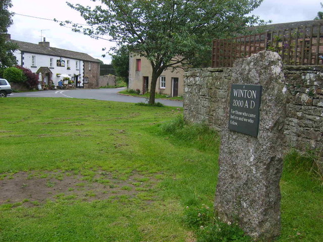
Winton, Cumbria
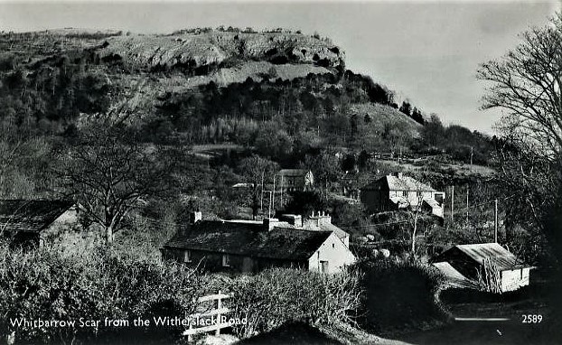
Witherslack
Wolsty, Cumbria
Woodland, Cumbria

Wythemoor Sough
Yanwath
Yearngill
Westmorland and Furness
Westnewton, Cumbria

Whale, Cumbria
Whalemoor
Whinnow, Thursby
Whinnyhill
Whiteclosegate, Carlisle

Willowford
Winder, Cumbria
Abbot Holme, Cumbria
Allerby, Cumbria
Angerton (Furness)
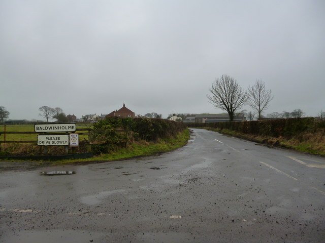
Baldwinholme

Banks, Cumbria
Beckbrow, Bowness

Beckfoot, Kirkby Stephen
Beckside, Underbarrow
Bellbank, Bewcastle
Birkrigg, Keswick
Birkrigg Park, Cumbria
Blackwell, Carlisle
Bleatarn, Cumbria

Bortree Stile, Cumbria
Bouth, Cumbria
Bowkerstead
Bowness-on-Windermere
Bowston, Cumbria
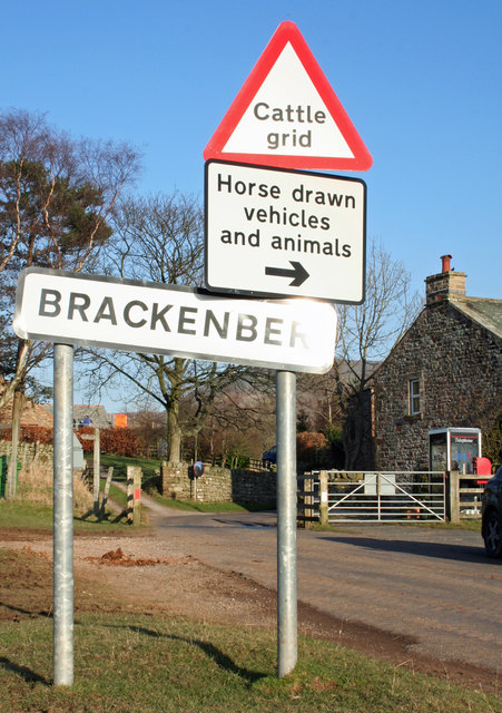
Brackenber
Brackenhill, Cumbria
Brackenthwaite (Cockermouth)
Brampton, Eden
Brockleymoor
Broughton Cross, Cumbria
Broughton Mills

Brow Edge (near Backbarrow)

Bull Close, Skelwith
Burneside, Cumbria
Burrells, Cumbria
Calder Abbey
Calvo, Cumbria

Cambeckhill
Cardurnock
Carleton, Carlisle
Carleton, Penrith

Cautley, Cumbria

Chapelburn, Nether Denton

Civil Parishes in Cumbria
Cocklake, Alston
Cocklakes
Coulderton

Crindledyke, Carlisle
Crook of Lune (Cumbria)

Crooklands, Cumbria
Cumberland
Sowerby Row

Spadeadam
Sparket Mill, Cumbria