Leadgate
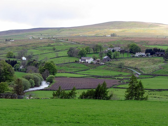
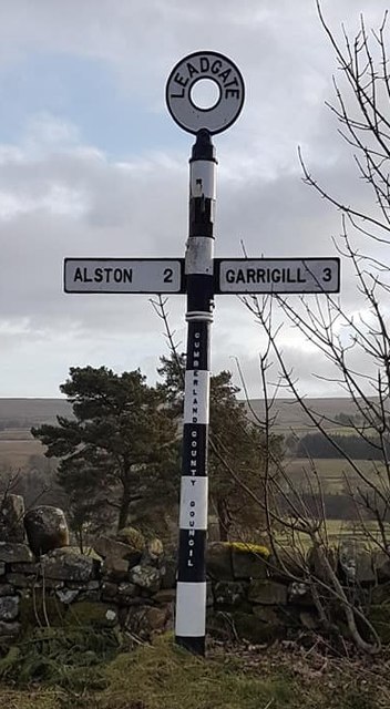
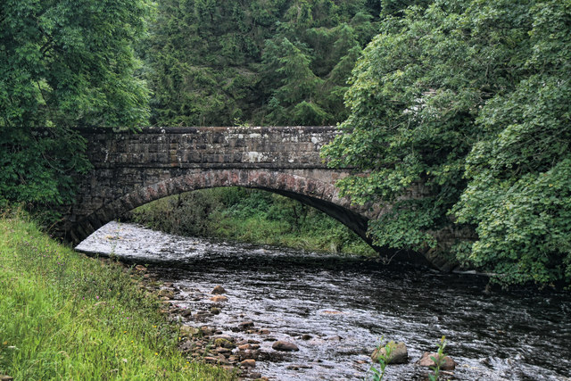
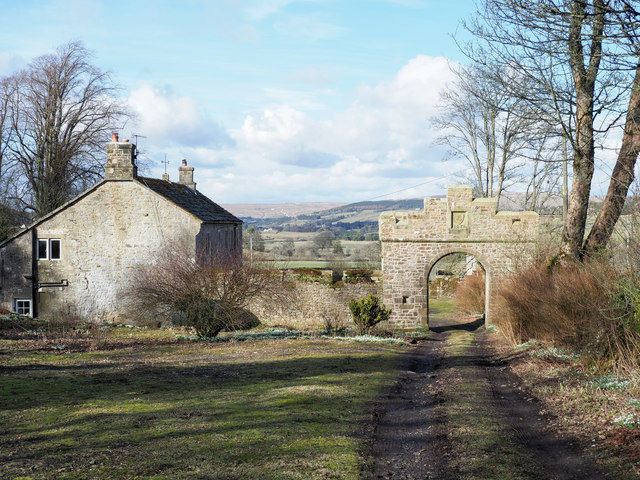
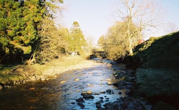
Leadgate is a hamlet in the Eden sistrict of Cumbria, located about 2 miles south of Alston and 3 miles north-west of Garrigill. Leadgate is situated by Black Burn, near it's confluence with the River South Tyne. The settlement forms part of Alston Moor Civil Parish.
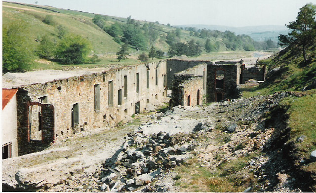
Leadgate is a small hamlet located at the foot of Hartside Fell between the town of Alston and the village of Garrigill in the parish of Alston Moor in Cumbria, England. It was the location of the earliest named mill on Alston Moor, referred to as Blackburn Mill in 1590, situated on the Black Burn beck and still shown as a corn mill on the 1861 1:2500 scale Ordnance Survey map.
The Hartside Fell is a prominent feature of the area. The cafe on the top of Hartside Pass, west of the hamlet, claimed to be the highest cafe in England at 575m. The cafe burnt down in 2018.
Text from Wikipedia, available under the Creative Commons Attribution-ShareAlike License (accessed: 28/01/2022).
Visit the page: Leadgate, Cumbria for references and further details. You can contribute to this article on Wikipedia.
Visit the page: Leadgate, Cumbria for references and further details. You can contribute to this article on Wikipedia.
