Topics > Cumbria > Threapland

Threapland


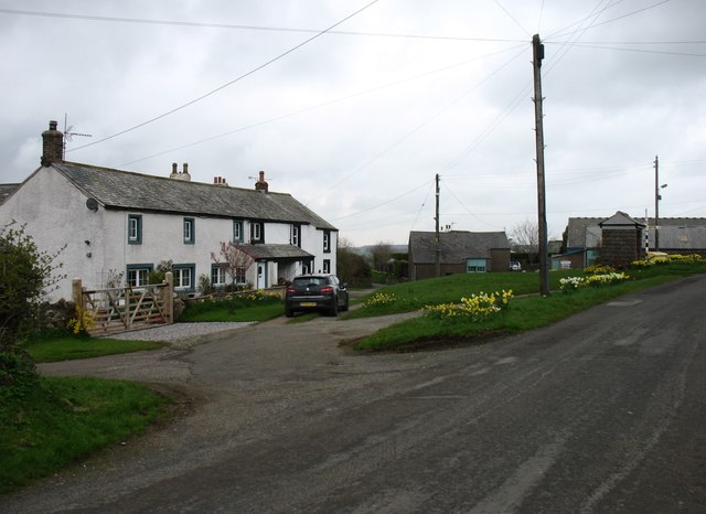
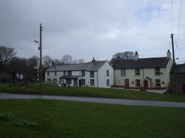
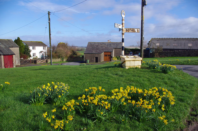
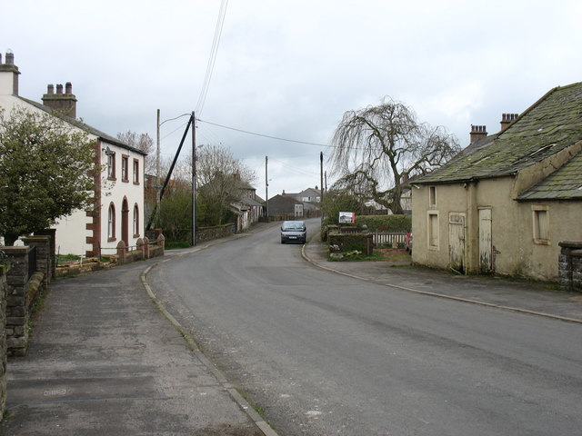
Threapland is a hamlet in the Allerdale district of Cumbria. It is located by Threapland Gill (stream) and is about ½ mile east of the village of Plumbland and 1½ miles north-west of Bothel. Historically, Bothel with Threapland township was part of the ancient parish of Torpenhow in Cumberland. Today the settlement is part of Bothel and Threapland Civil Parish.
Cumbria Plumbland Bothel and Threapland Civil Parish Bothel with Threapland Township, 1848
from Geograph (geograph)
Threapland village

Pinned by Simon Cotterill
from Geograph (geograph)
Threapland

Pinned by Simon Cotterill
from Geograph (geograph)
Village green, Threapland

Pinned by Simon Cotterill
Plumbland
  Co-Curate Page
Plumbland
- Overview About Plumbland Map Street View Plumbland is a village in the Allerdale district of Cumbria, located about 6 miles north of Cockermouth. Within the village are the Last Man …

Comments

Add a comment or share a memory.

Login to add a comment. Sign-up if you don't already have an account.


ABOUT US

Co-Curate is a project which brings together online collections, museums, universities, schools and community groups to make and re-make stories and images from North East England and Cumbria. Co-Curate is a trans-disciplinary project that will open up 'official' museum and 'un-officia'l co-created community-based collections and archives through innovative collaborative approaches using social media and open archives/data.

LATEST SHARED RESOURCES