Topics > Bootle
Bootle
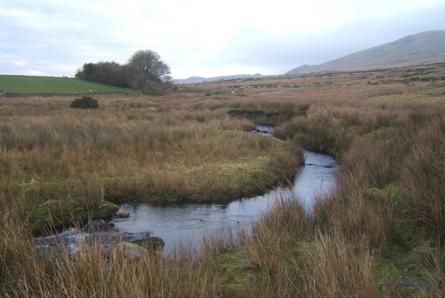
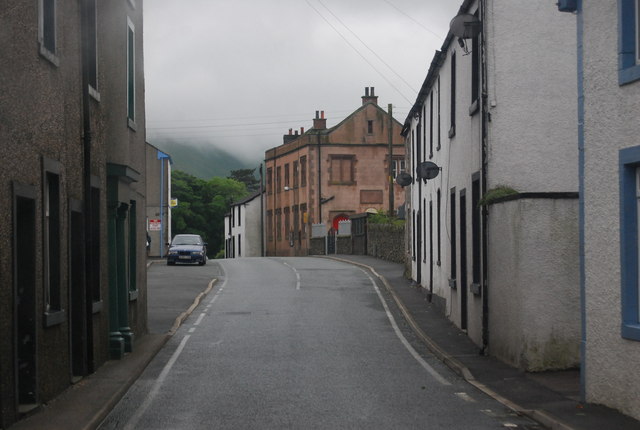
Bootle is a village in the district of Copeland in Cumbria, located about 6 miles north-west of Millom and a mile and a half from the coast.
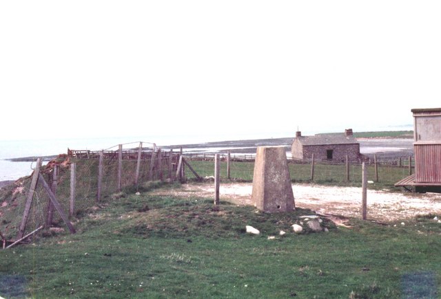
Bootle (oo as in boot) is a village and civil parish in the Borough of Copeland in Cumbria, England. According to the 2001 census, it had a population of 745. Historically in Cumberland, the village is in the Lake District National Park, and is close to the Irish Sea coast. Near to Bootle is the Eskmeals Firing Range, which was a large employer but in the mid to late 1990s reduced the workforce. Also within the parish is Hycemoor, a hamlet situated north-west of Bootle, where Bootle railway station is located.
Origin of Name
Bootle is recorded in the Domesday Book as "Bodele" from the Old English word boðl which means a building. Variations of this spelling (e.g. Botle, Bowtle, Butehill, Bowtle, Botil) persist from about 1135 till 1580 when the spelling "Bootle" becomes common.
History
Bootle is listed in the Domesday Book as one of the townships forming the Manor of Hougun held by Earl Tostig.. – part of the Manor of Hougun and was assessed for geld purposes at 4 carucates (about 480 acres). Bootle was the furthest point to which the Normans penetrated into Cumberland. They made no attempt to infiltrate further north into land held by British Celts or those places already settled by the Norse from Ireland, Isle of Man or Scotland. Instead they satisfied themselves, for the moment, with taking those lands on the southern coastal strip of West Cumberland that had been settled by the Angles of Northumbria and had belonged to Earl Tostig prior to the Norman conquest.
A charter for a market and a fair for the 'exaltation of the cross' was granted in 1347 by King Edward III to John de Huddleston, Lord of Millom.
Governance
An electoral ward of the same name exists. This ward stretches north along the coast as far as Muncaster with a total population of 1,300.
Transport
- Bootle railway station, 1-mile (1.6 km) from Bootle
Education
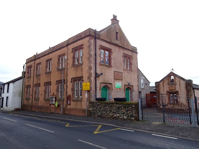
- The village has a Primary school which was founded in 1830 by Captain Isaac Shaw RN with an endowment of £290 and still bears his name (Captain Shaw's School
Religious sites
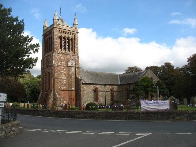
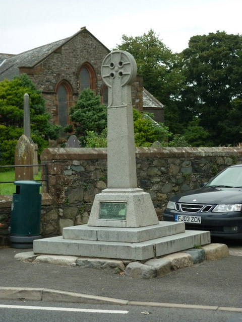
- St Michael's Church
- Chapel (Independent) - Formerly a Congregational Church built 1780. It became part of the United Reformed Church when the Congregational and Presbyterian Churches united in 1972 but became independent in the 1990s. The building is now owned by Rural Ministries and is still in use as an evangelical church.
- Seaton Priory There are some remains of the Benedictine nunnery to the north of the parish.
Surnames
Most common surnames in Bootle at the time of the United Kingdom Census of 1881, by order of incidence:
- 1. Parker
- 2. Hodgson
- 3. Tyson
- 4. Singleton
- 5. Harrison
- 6. Southward
- 7. Thompson
- 8. Gaitskell
- 9. Huddlestone
- 9. Taylor
Notable residents
- Trudy Harrison, Conservative Member of Parliament
- Captain Isaac Shaw RN, perhaps Bootle's most famous son, was born in Well House in Bootle. He joined the Royal Navy at the age of 12 and served at the Battle of Trafalgar and many actions in the Mediterranean after that, some of which yielded him significant prize money[13]. In 1813 he was wounded in an action in the Mediterranean when a battery he helped to destroy exploded. He was promoted to the rank of commander in August 1813, but never went to sea again. He eventually retired to Underwood House in Bootle, which he had built in 1835. He became a magistrate and great benefactor to the village. He died in 1848.
Visit the page: Bootle, Cumbria for references and further details. You can contribute to this article on Wikipedia.

from Flickr (flickr)
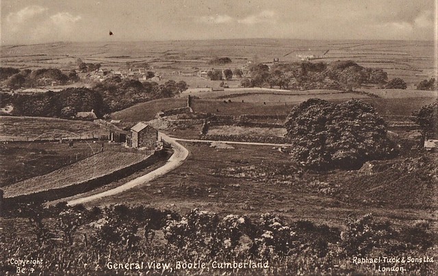
Postcard - BOOTLE Cumberland - GENERAL VIEW [Raphael Tuck] #Be4 - UNPOSTED - VGC
Pinned by Peter Smith
from Flickr (flickr)
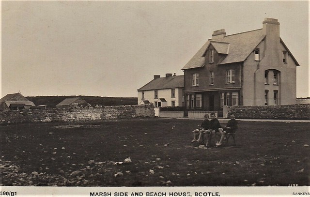
Postcard - BOOTLE Cumberland - MARSH SIDE & BEACH HOUSE [Sankeys] RP Posted
Pinned by Peter Smith
from Flickr (flickr)
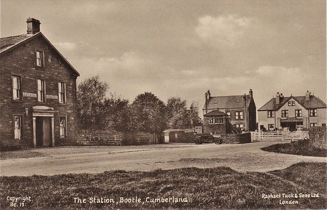
Postcard - BOOTLE Cumberland - THE STATION [Raphael Tuck] #Be13 - UNPOSTED - VGC
Pinned by Peter Smith
from Flickr (flickr)
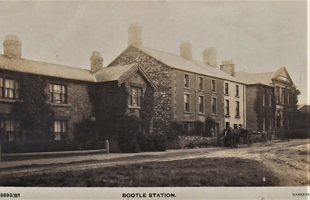
Postcard - BOOTLE Cumberland - THE STATION [Sankeys] - RP Posted 1930
Pinned by Peter Smith
from Flickr (flickr)
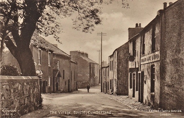
Postcard - BOOTLE Cumberland - THE VILLAGE [Raphael Tuck] #Be9 - POSTED - VGC
Pinned by Peter Smith

from Flickr (flickr)
Postcard - BOOTLE Cumberland - GENERAL VIEW [Raphael Tuck] #Be4 - UNPOSTED - VGC
Pinned by Peter Smith
from Flickr (flickr)
Postcard - BOOTLE Cumberland - MARSH SIDE & BEACH HOUSE [Sankeys] RP Posted
Pinned by Peter Smith
from Flickr (flickr)
Postcard - BOOTLE Cumberland - THE STATION [Raphael Tuck] #Be13 - UNPOSTED - VGC
Pinned by Peter Smith
from Flickr (flickr)
Postcard - BOOTLE Cumberland - THE STATION [Sankeys] - RP Posted 1930
Pinned by Peter Smith
from Flickr (flickr)
Postcard - BOOTLE Cumberland - THE VILLAGE [Raphael Tuck] #Be9 - POSTED - VGC
Pinned by Peter Smith