Topics > Cumbria > Whitrigg, Bowness-on-Solway

Whitrigg, Bowness-on-Solway


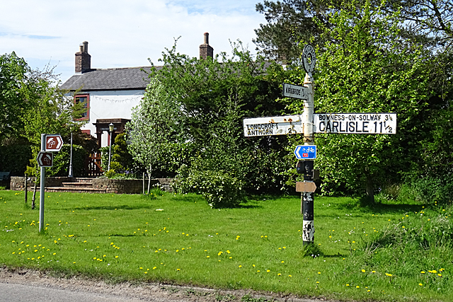
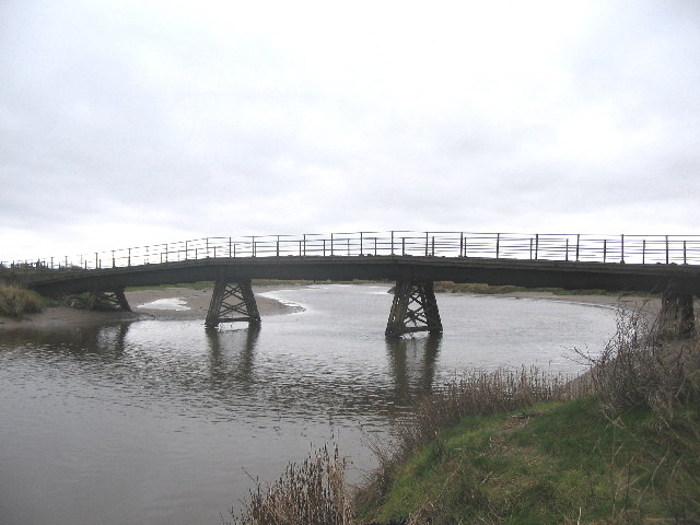
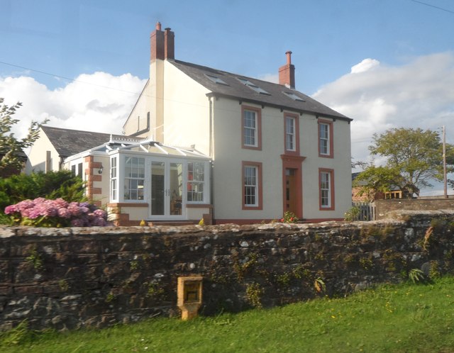
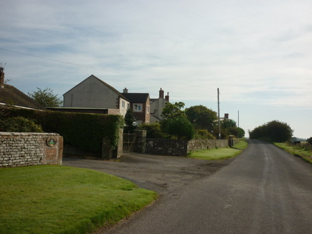
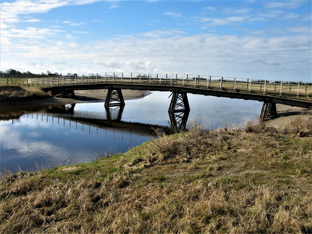
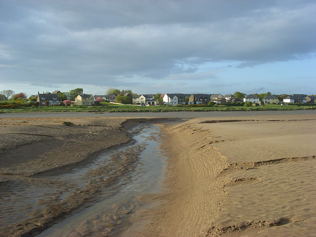
Whitrigg is a hamlet in the Allerdale district of Cumbria, located about 3 miles south of the village of Bowness-on-Solway and ½ mile north of Angerton. It is about 6 miles north of the town of Wigton. Whitrigg is situated near the River Wampool and forms part of Bowness Civil Parish.

Note: there are two hamlets named Whitrigg in the Allerdale district of Cumbria, located within 12 miles of each other. This one is by the Solway Firth, not to be confused with Whitrigg near Torpenhow.

River Wampool Bowness Civil Parish
from Geograph (geograph)
Whitrigg Road Junction

Pinned by Simon Cotterill
from Geograph (geograph)
Whitrigg Bridge

Pinned by Simon Cotterill
from Geograph (geograph)
Elizabeth II postbox, Whiterigg

Pinned by Simon Cotterill
from Geograph (geograph)
House at Whitrigg

Pinned by Simon Cotterill
from Geograph (geograph)
Houses near West Whitrigg Farm

Pinned by Simon Cotterill
from Geograph (geograph)
Whitrigg Bridge, River Wampool

Pinned by Simon Cotterill

Comments

Add a comment or share a memory.

Login to add a comment. Sign-up if you don't already have an account.


ABOUT US

Co-Curate is a project which brings together online collections, museums, universities, schools and community groups to make and re-make stories and images from North East England and Cumbria. Co-Curate is a trans-disciplinary project that will open up 'official' museum and 'un-officia'l co-created community-based collections and archives through innovative collaborative approaches using social media and open archives/data.

LATEST SHARED RESOURCES