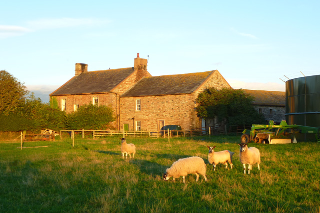
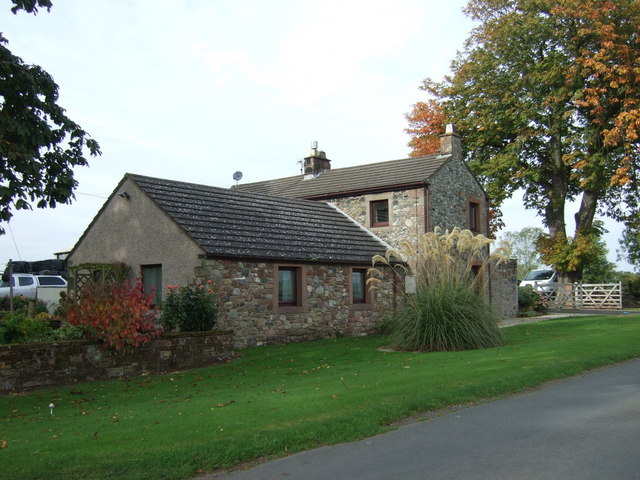
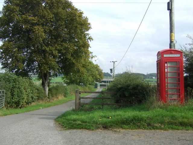
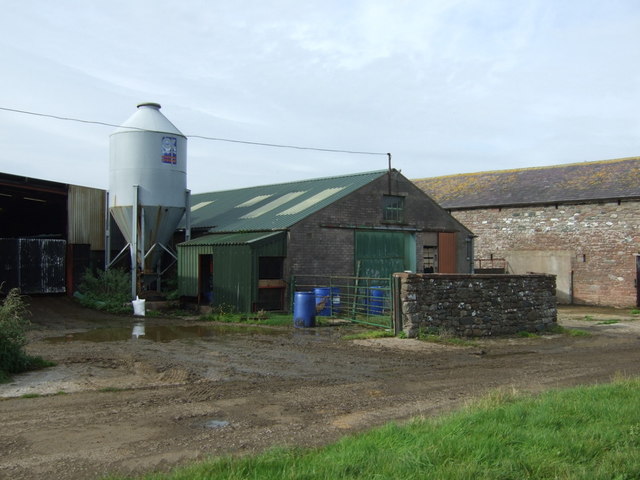
Topics > Cumbria > Thomas Close, Skelton
Thomas Close, Skelton
Extract from: A Topographical Dictionary of England comprising the several counties, cities, boroughs, corporate and market towns, parishes, and townships..... 7th Edition, by Samuel Lewis, London, 1848.
THOMAS-CLOSE, a township, in the parish of Hutton-in-the-Forest, union of Penrith, Leath ward, E. division of Cumberland, 8¾ miles (N.W. by N.) from Penrith; containing 99 inhabitants.
Co-Curate Page
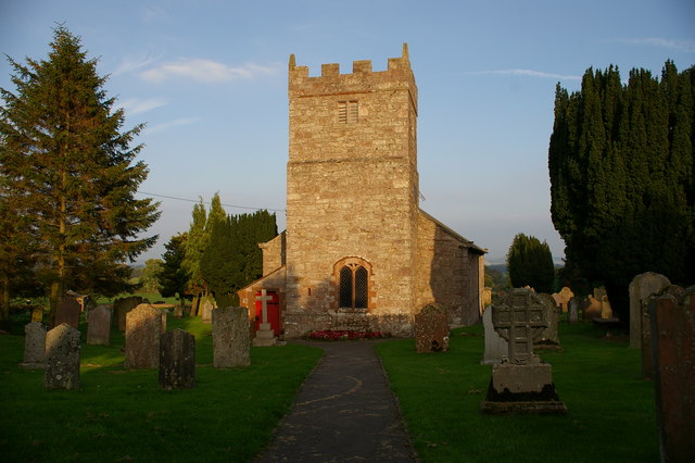
Skelton
- Overview About Skelton Map Street View Skelton is a small village and civil parish about 7 miles (11 km) north west of Penrith in the English county of Cumbria. …


