Topics > Cumbria > Troutbeck (Windermere)
Troutbeck (Windermere)
TROUTBECK, a chapelry, in the parish of Windermere, union and ward of Kendal, county of Westmorland, 5½ miles (S.E. by E.) from Ambleside; containing 299 inhabitants. The chapelry is intersected by a rivulet, from which it derives its name: in the neighbourhood are quarries of fine blue slate. The living is a perpetual curacy; net income, £43; patron, the Rector of Windermere, whose tithes here have been commuted for £34. The chapel, called Jesus' chapel, was consecrated in 1562; and adjoining is a school built in 1639, with an endowment of £8 per annum. There were formerly two cairns, supposed to be British, on the removal of one of which a rude stone chest was discovered, inclosing a quantity of human bones.
Extract from: A Topographical Dictionary of England comprising the several counties, cities, boroughs, corporate and market towns, parishes, and townships..... 7th Edition, by Samuel Lewis, London, 1848.
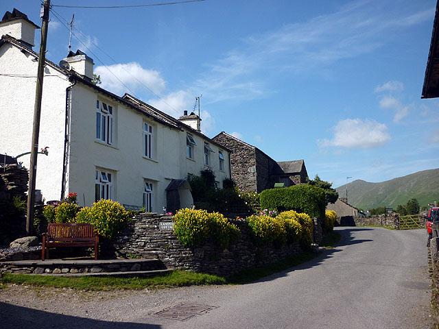
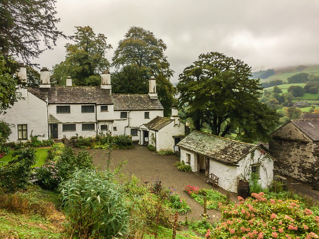
Troutbeck is a village in South Lakeland district in Cumbria, England. It is 3 miles (5 km) north of Windermere town, and west of the A592 road. It is a conservation area and includes the National Trust property of Townend.
Village amenities
- Post Office, General Store and Teashop (on main road through village)
- Village Institute (above Post Office)
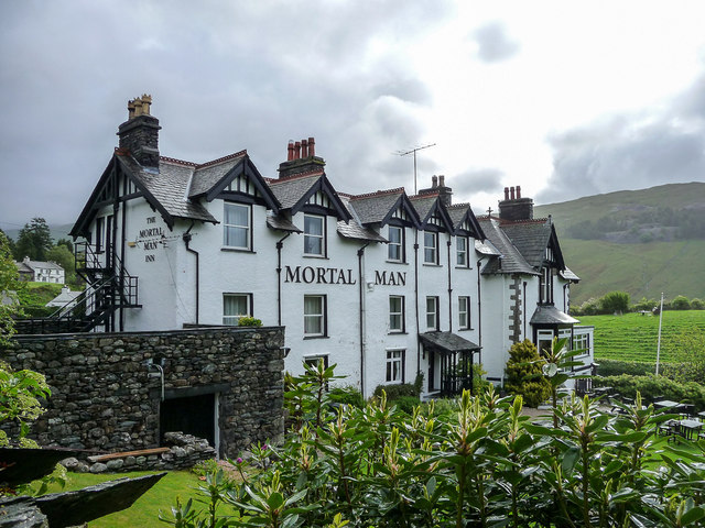
- The Mortal Man Inn (on main road through village). Has the "Oh, Mortal Man" verse on the pub sale, with reference to Sally Birkett's Ale:
"O mortal man that lives by bread,
What is it makes thy nose so red?
Thou silly fool, that look'st so pale,
'Tis drinking Sally Birkett's ale."
- The Queen's Head Hotel (on A592, Kirkstone Pass Road)
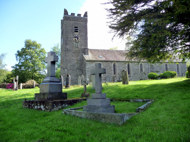
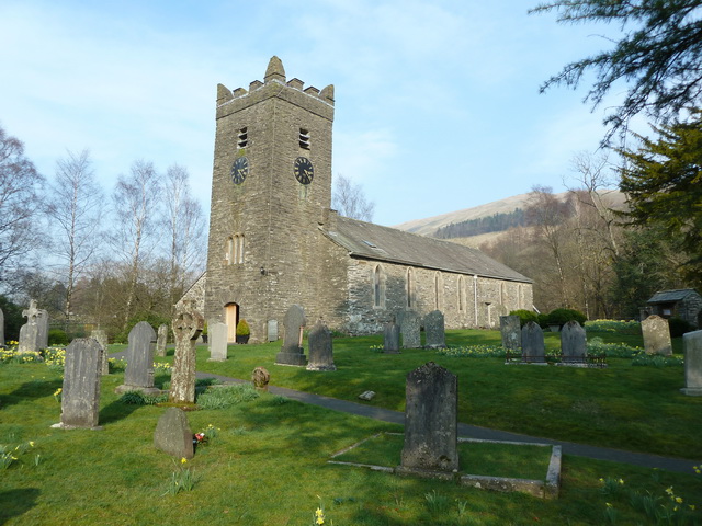
- Jesus Church, with unusual Pre-Raphaelite stained glass
- Limefitt Caravan Par
Visit the page: Troutbeck, South Lakeland for references and further details. You can contribute to this article on Wikipedia.
from Geograph (geograph)
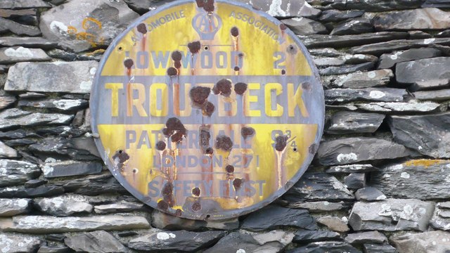
Old Circular, village name on black band, no MU symbol or name, 1923
Pinned by Simon Cotterill


from Geograph (geograph)
Old Circular, village name on black band, no MU symbol or name, 1923
Pinned by Simon Cotterill


Grid ref: NY410032
Wikipedia: Troutbeck, South La…
Unitary Auth: Westmorland & Furness


