Topics > Cumbria > Hartsop

Hartsop


Hartsop is a village in the Eden district of Cumbria. It is part of Patterdale Civil Parish.

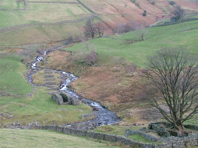
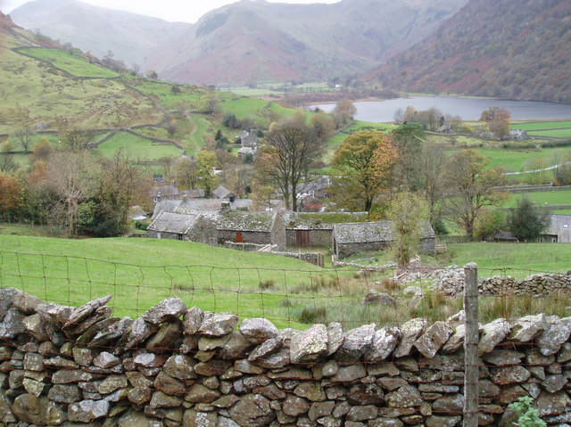
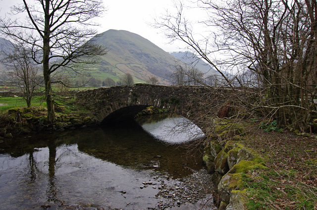
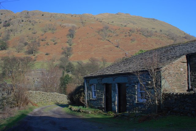
Hartsop is a small village in the English Lake District. It lies in the Patterdale valley, near Brothers Water, Hayeswater and Kirkstone Pass.

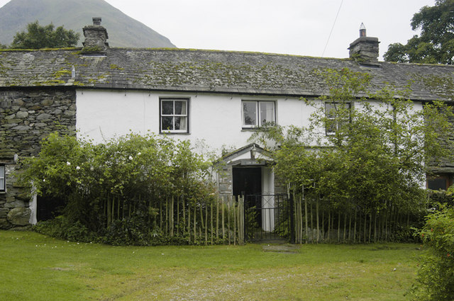
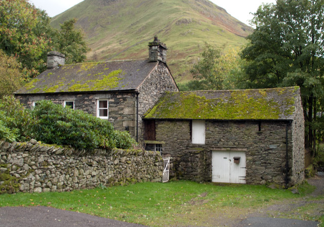
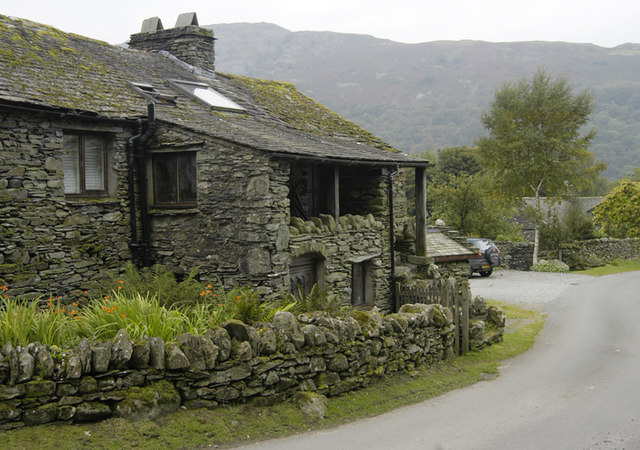
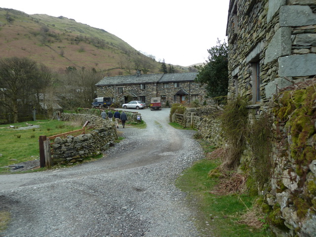
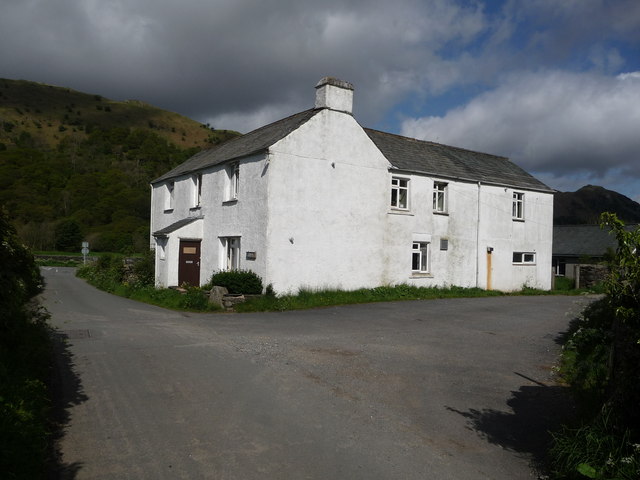
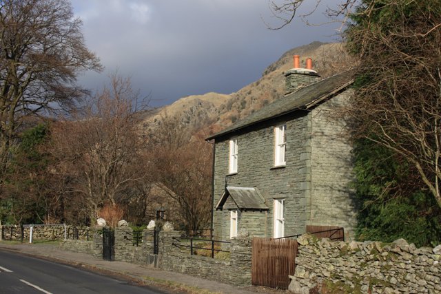
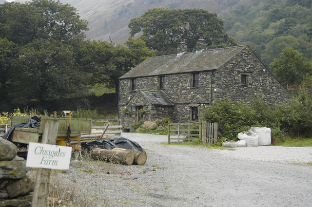
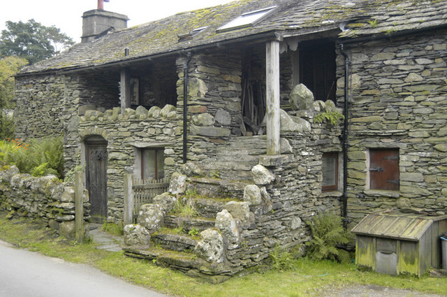
It consists of 17th-century grey stone cottages, like so many of its neighbours. Hartsop retains its historic image, in that, in common with a number of other small Cumbrian villages, it had houses with spinning galleries. It was also a lead mining community.

Hartsop Hall, in the care of the National Trust, is located on the far side of the valley from the village. The hall dates from the 16th century, formerly the home of the de Lancasters; in the 17th century it passed into the ownership of Sir John Lowther, a member of the family that later became Earls of Lonsdale. After that, it became used as an ordinary farmhouse. Local history relates that when the hall was extended in the 18th century, it was built across an ancient right-of-way, a right which at least one dalesman insisted on exercising, by walking through the hall.

A mile from the village is the small and remote lake of Hayeswater which serves as a reservoir for the town of Penrith about 12 miles away.

Hartsop is a popular starting point for hill walkers climbing on the High Street range and the Helvellyn range. The village is overlooked by Brock Crags and Hartsop Dodd.

Hartsop is part of the civil parish of Patterdale.

Text from Wikipedia, available under the Creative Commons Attribution-ShareAlike License (accessed: 10/09/2019).
Visit the page: Hartsop for references and further details. You can contribute to this article on Wikipedia.
Cumbria Patterdale with Hartsop, 1848 Patterdale Civil Parish Cow Bridge, near Hartsop Myers Head Lead Mine
from Geograph (geograph)
Cottage in Hartsop village

Pinned by Edmund Anon
from Geograph (geograph)
The Lakeland village of Hartsop

Pinned by Simon Cotterill
from Geograph (geograph)
Low Beckside in Low Hartsop

Pinned by Simon Cotterill
from Geograph (geograph)
Cottage in Hartsop village

Pinned by Simon Cotterill
from Geograph (geograph)
Entering Hartsop

Pinned by Simon Cotterill
from Geograph (geograph)
Hartsop white house

Pinned by Simon Cotterill
from Geograph (geograph)
Beetham Cottage

Pinned by Simon Cotterill
from Geograph (geograph)
Cow Bridge

Pinned by Simon Cotterill
from Geograph (geograph)
Iron seat with plaque dated 1897

Pinned by Simon Cotterill
from Geograph (geograph)
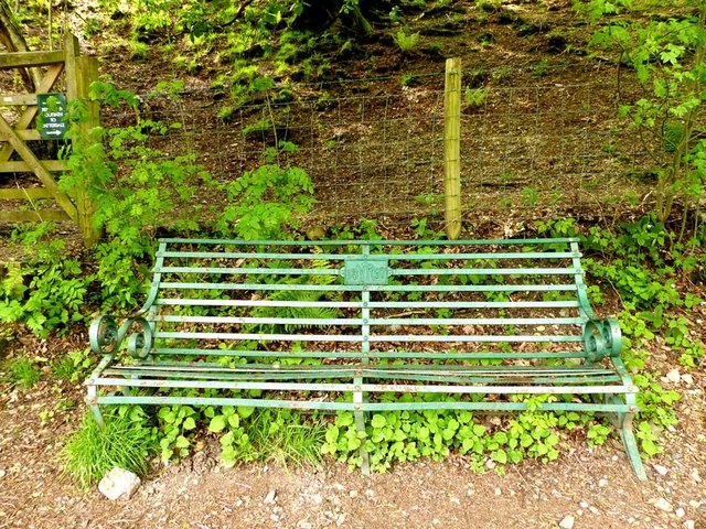
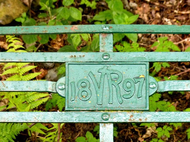
Plaque on iron seat commemorating Queen Victoria's diamond jubilee

Pinned by Simon Cotterill
from Geograph (geograph)
Crossgates Farm, near Hartsop

Pinned by Simon Cotterill
from Geograph (geograph)
Cottage with spinning gallery, Hartsop

Pinned by Simon Cotterill
from Geograph (geograph)
Out Buildings, Hartsop

Pinned by Simon Cotterill
from Youtube (youtube)
As You Lake It (1940)

Pinned by Simon Cotterill

Comments

Add a comment or share a memory.

Login to add a comment. Sign-up if you don't already have an account.


County: Cumbria
Wikipedia: Hartsop
Grid ref: NY40861312

ABOUT US

Co-Curate is a project which brings together online collections, museums, universities, schools and community groups to make and re-make stories and images from North East England and Cumbria. Co-Curate is a trans-disciplinary project that will open up 'official' museum and 'un-officia'l co-created community-based collections and archives through innovative collaborative approaches using social media and open archives/data.

LATEST SHARED RESOURCES