Rampside
Rampside is a village in Cumbria, England. Historically in Lancashire, it is located a few miles south-east of the town of Barrow-in-Furness, in the north-western corner of Morecambe Bay on the Furness peninsula.
History
There is evidence that the village was inhabited as early as 1292, in the records of the monks of Furness Abbey, though Viking and Roman artefacts have been found in the village's church. As well as agriculture, the village acted as a small port, with shipping trade coming to Furness Abbey through Roa Island, which itself was defended by the fortified Piel Island, both around one mile south of Rampside.
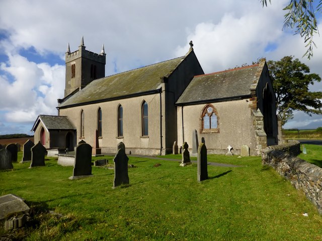
Thomas Lawson, a herbalist and botanist, was born at Rampside in 1630 and became minister at the village church. He invited George Fox to preach from the pulpit after one Sunday service, and subsequently became a Quaker himself in 1653. He published various religious works and died in 1691.
In the late 18th century, the village had a reputation as a bathing resort; at the time, it was larger than Barrow-in-Furness, which was still a small hamlet. The poet, William Wordsworth, is known to have frequented the village at this time. His memory of his time at Rampside and his view towards Piel Castle led him to write the following in 1805:
'I was thy neighbour once, thou rugged Pile!
Four summer weeks I dwelt in sight of thee:
I saw thee every day, and all the while,
Thy form was sleeping on a glassy sea'
In 1840, development began on a causeway to Roa Island, resulting in a rail ferry from Fleetwood to the island, the trains then passing through Rampside Station to get to Barrow and the southern Lake District. This service became obsolete with the railway barges linking Ulverston and Lancaster, and the causeway soon became a road.
On 15 February 1865, a small shallow earthquake caused serious damage in Rampside. The intensity at Rampside has been estimated as 8 EMS; the magnitude of the earthquake is uncertain, but probably not more than 3 ML.
Present day
In recent years, Roa Island and Rampside have retained their close links to the sea, with sailing and windsurfing popular in the surrounding waters.
Rampside is also home to the Rampside Gas Terminal and Roosecote Power Station, where gas from the Morecambe Bay and Irish Sea gasfields comes onshore. This, and commuting into Barrow, are the main sources of modern-day employment in Rampside.
Co-Curate Page
Roa Island
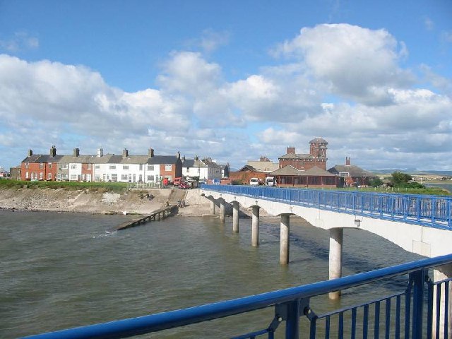
- Overview About Roa Island Map Street View Roa Island is a tidal island located about 3 miles south-east of Barrow-in-Furness. A causeway, built in 1847, connects Roa Island with Rampside …
Co-Curate Page
Causway
- Overview Map Street View The causeway carries Roa Island Road from Rampside, on the mainland, to Roa Island. The causeway was built in 1847; prior to that, the tidal island …
from https://www.sankeyphotoarchiv…
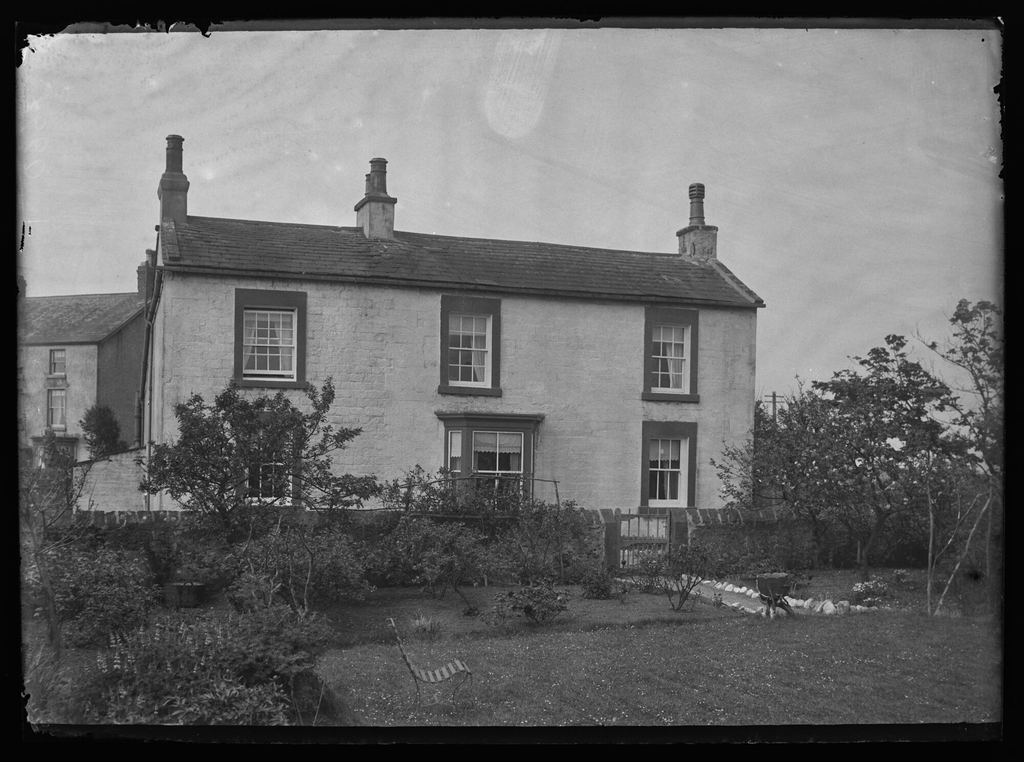
A house at Rampside - Early 20th Century
- Looking Southwest from the garden of a two storey detached house, with a slate roof at Rampside. The house seems to have been whitewashed. Metal bench in the garden. In …
Added by
Simon Cotterill

from https://www.sankeyphotoarchiv…
Rampside Gala, 07/08/1924
- A woman in a nurse's uniform is being pushed along in a sturdy pram by a man with an impressive moustache, to general merriment. Photo from the Sankey Family Photograph …
Added by
Simon Cotterill
from https://www.sankeyphotoarchiv…
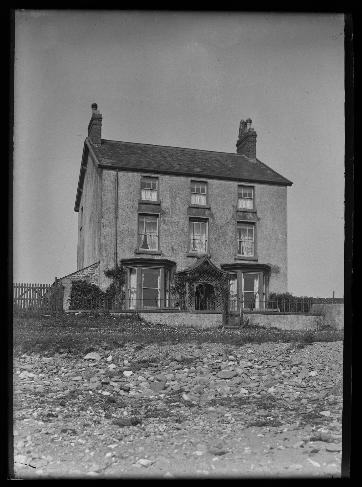
Rampside House East View
- Photo, early 20th Century. A view from the foreshore up to a large detached house with slate roof, small low wall in front and Trellised entrance porch with vegetation. Bay …
Added by
Simon Cotterill
from https://www.sankeyphotoarchiv…
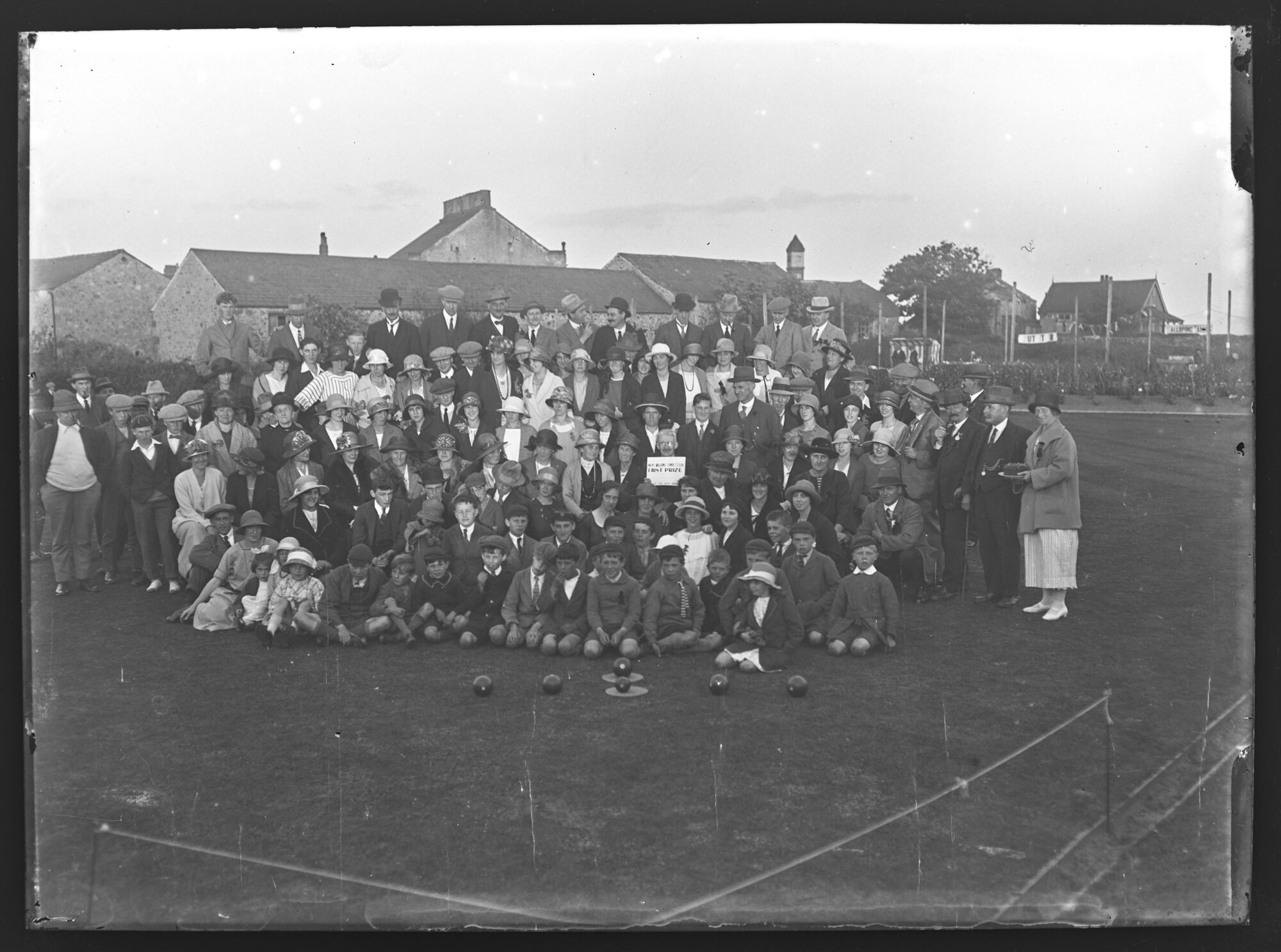
Rampside Gala, 07/08/1924
- A crowd posed for the Gala picture at the corner of the Bowling Green. One man proudly holds his First Place Certificate. Men, women and children, gaily dressed, look happily …
Added by
Simon Cotterill
from https://www.sankeyphotoarchiv…
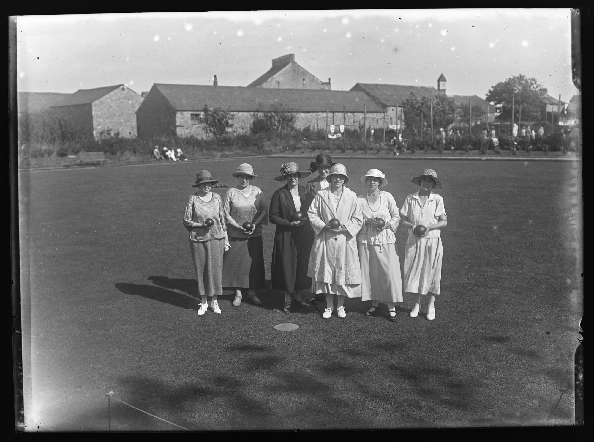
Rampside Gala, 07/08/1924
- A posed portrait of a ladies bowling team standing on the green. Photo from the Sankey Family Photograph Collection (c/o Cumbria Archives), available under a Creative Commons Attribution-NonCommercial 4.0 International …
Added by
Simon Cotterill
from https://www.sankeyphotoarchiv…
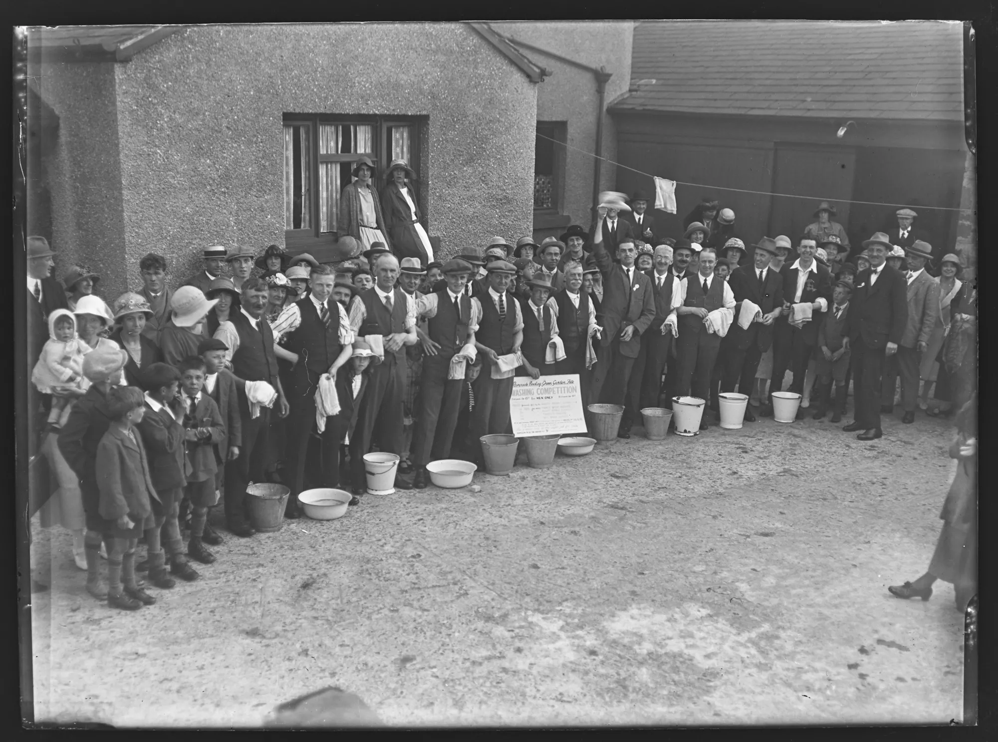
Rampside Washing Competition, 07/08/1924
- The sign at the front of the group of men says 'Rampside Bowling Green Garden Fete Washing Competition. Men only'. A large group of men behind buckets and bowls, with …
Added by
Simon Cotterill
from https://www.sankeyphotoarchiv…
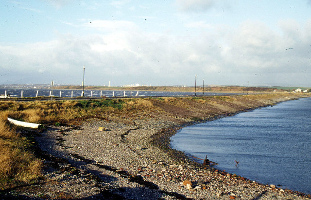
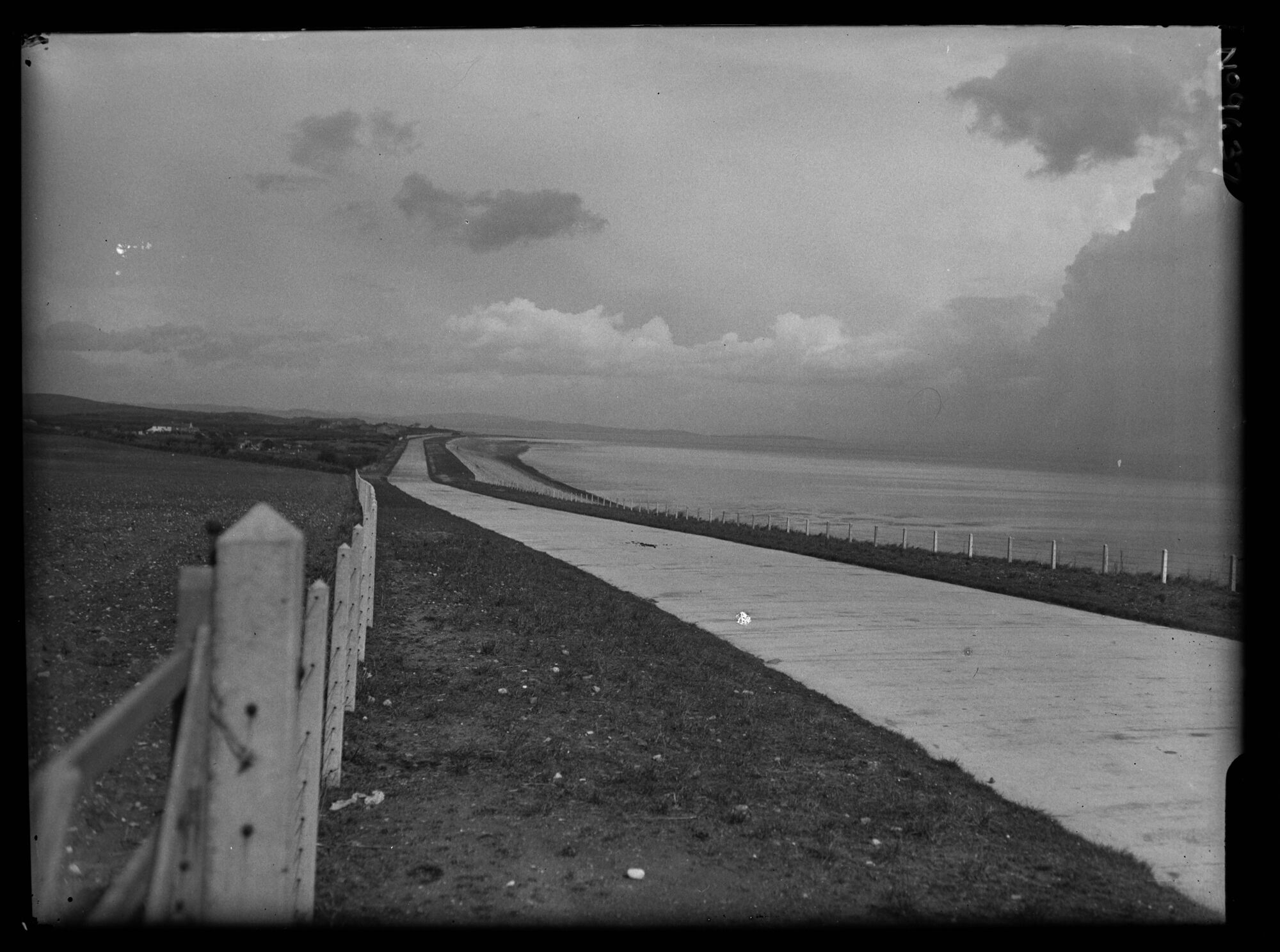
New Coast Road, Rampside, 1924/5
- Looking north from the top of the rise at Rampside along the new Coast Road (completed Dec 1924). Dark clouds gather above Flookburgh on the right, suggesting a storm over …
Added by
Simon Cotterill
from https://www.sankeyphotoarchiv…
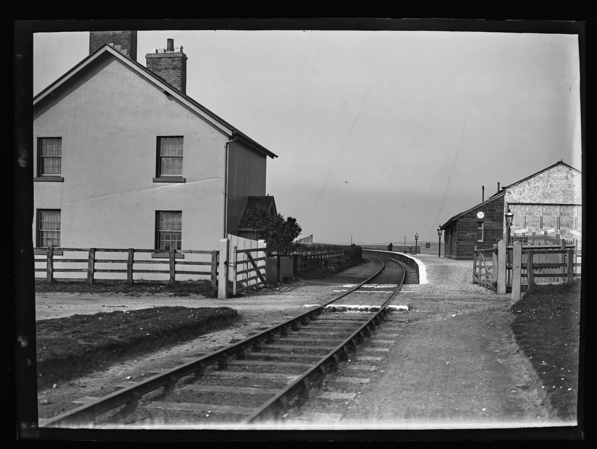
Rampside Station, 1910s
- Looking north at the station. A single track with the platform on the east side and a small sandstone building with a clock on the end, adjoining a bigger construction. …
Added by
Simon Cotterill
from https://www.sankeyphotoarchiv…
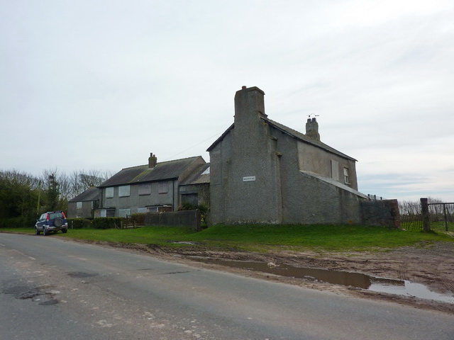
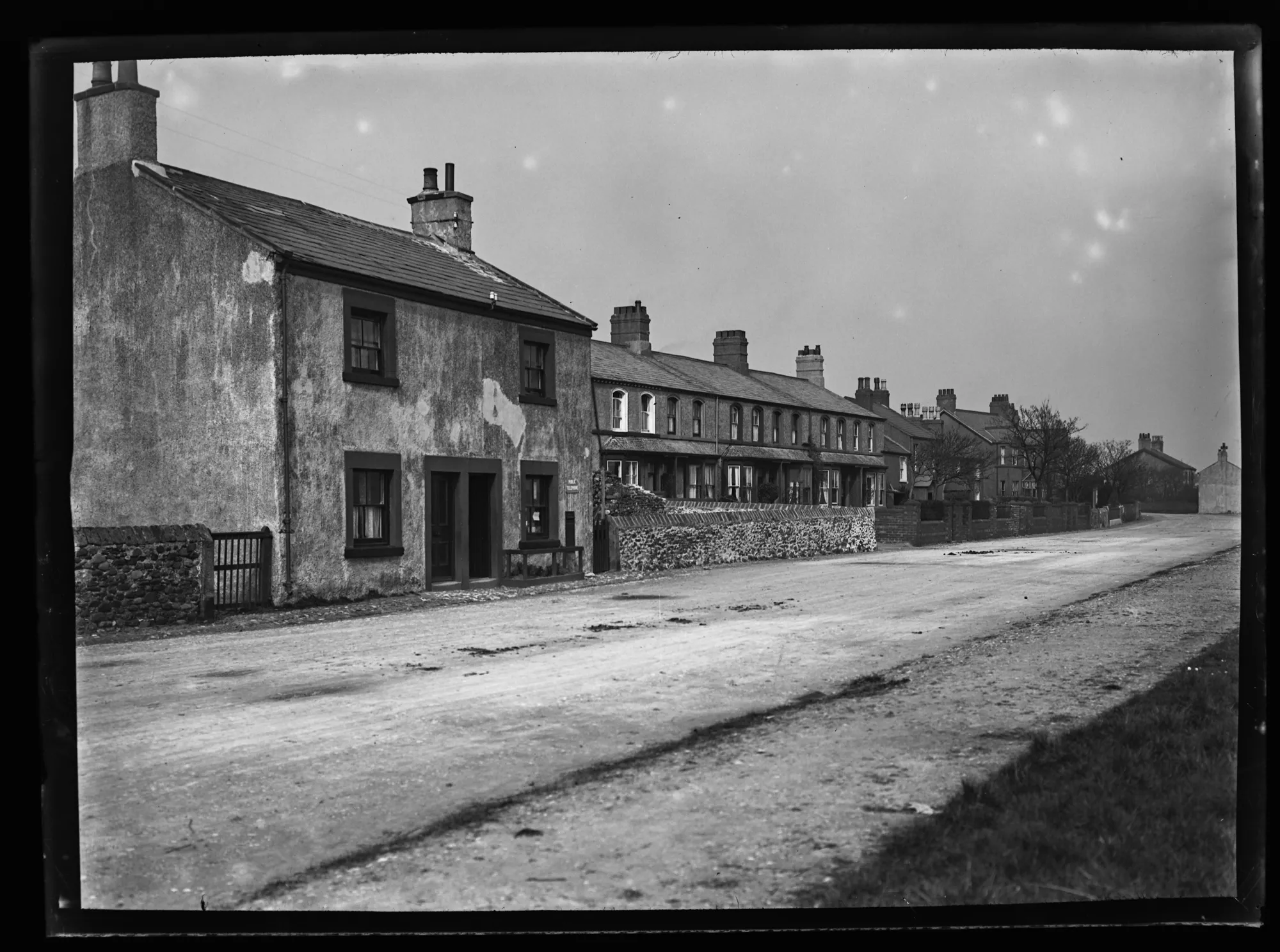
Rampside Fouldrey Terrace
- 1920s. Looking Northeast along Roa Island Road at Rampside. Houses border the left side of the road. The first detached building has two separate entrances in the centre. The right …
Added by
Simon Cotterill

Co-Curate Page
Roa Island
- Overview About Roa Island Map Street View Roa Island is a tidal island located about 3 miles south-east of Barrow-in-Furness. A causeway, built in 1847, connects Roa Island with Rampside …
Co-Curate Page
Causway
- Overview Map Street View The causeway carries Roa Island Road from Rampside, on the mainland, to Roa Island. The causeway was built in 1847; prior to that, the tidal island …
from https://www.sankeyphotoarchiv…
A house at Rampside - Early 20th Century
- Looking Southwest from the garden of a two storey detached house, with a slate roof at Rampside. The house seems to have been whitewashed. Metal bench in the garden. In …
Added by
Simon Cotterill
from https://www.sankeyphotoarchiv…
Rampside Gala, 07/08/1924
- A woman in a nurse's uniform is being pushed along in a sturdy pram by a man with an impressive moustache, to general merriment. Photo from the Sankey Family Photograph …
Added by
Simon Cotterill
from https://www.sankeyphotoarchiv…
Rampside House East View
- Photo, early 20th Century. A view from the foreshore up to a large detached house with slate roof, small low wall in front and Trellised entrance porch with vegetation. Bay …
Added by
Simon Cotterill
from https://www.sankeyphotoarchiv…
Rampside Gala, 07/08/1924
- A crowd posed for the Gala picture at the corner of the Bowling Green. One man proudly holds his First Place Certificate. Men, women and children, gaily dressed, look happily …
Added by
Simon Cotterill
from https://www.sankeyphotoarchiv…
Rampside Gala, 07/08/1924
- A posed portrait of a ladies bowling team standing on the green. Photo from the Sankey Family Photograph Collection (c/o Cumbria Archives), available under a Creative Commons Attribution-NonCommercial 4.0 International …
Added by
Simon Cotterill
from https://www.sankeyphotoarchiv…
Rampside Washing Competition, 07/08/1924
- The sign at the front of the group of men says 'Rampside Bowling Green Garden Fete Washing Competition. Men only'. A large group of men behind buckets and bowls, with …
Added by
Simon Cotterill
from https://www.sankeyphotoarchiv…
New Coast Road, Rampside, 1924/5
- Looking north from the top of the rise at Rampside along the new Coast Road (completed Dec 1924). Dark clouds gather above Flookburgh on the right, suggesting a storm over …
Added by
Simon Cotterill
from https://www.sankeyphotoarchiv…
Rampside Station, 1910s
- Looking north at the station. A single track with the platform on the east side and a small sandstone building with a clock on the end, adjoining a bigger construction. …
Added by
Simon Cotterill
from https://www.sankeyphotoarchiv…
Rampside Fouldrey Terrace
- 1920s. Looking Northeast along Roa Island Road at Rampside. Houses border the left side of the road. The first detached building has two separate entrances in the centre. The right …
Added by
Simon Cotterill