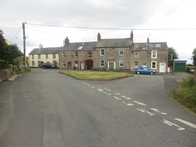
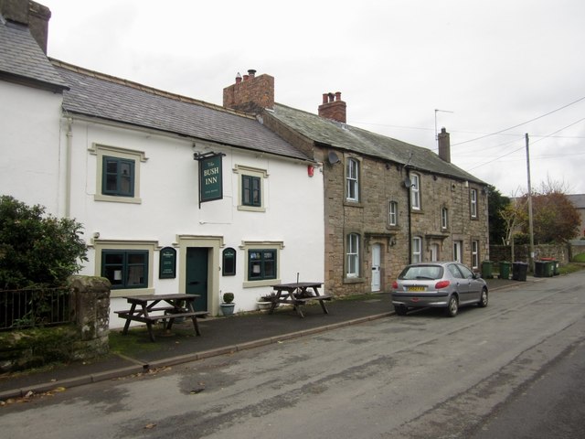
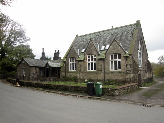
Topics > Cumbria > Tallentire

Tallentire


Tallentire is a village in the Allerdale district of Cumbria, located about 3 miles north of Cockermouth and 4 miles east of Maryport. Tallentire was a township in the ancient parish of Bridekirk with the manor house being Tallentire Hall; in 1934 Tallentire became part of Bridekirk Civil Parish. The Bush Inn is a public house/resturant in the village.

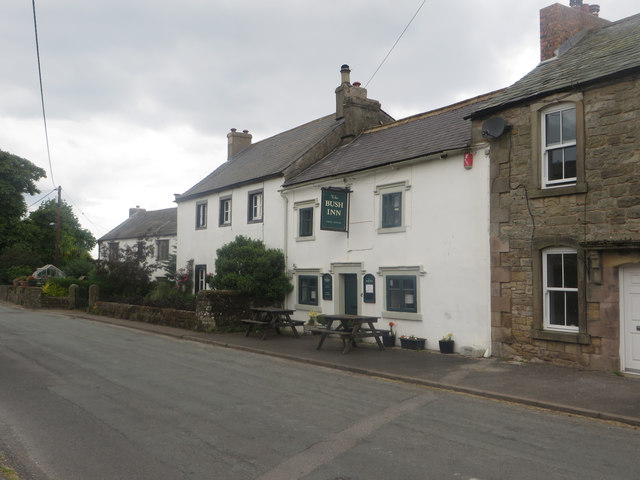
Tallentire is a village in west Cumbria about 4 km north of Cockermouth. It is also a reasonably uncommon English surname.

Tallentire Hall is a lovely old manor house with a crenelated tower that dates back to the 13th century. The south wing, adjacent to the tower is Elizabethan while the majority is early Victorian. The Hall is not open to the public apart from occasional charity fundraising events.

The nearby Cockermouth Castle is only one of the many historic places in the vicinity of Tallentire. Other historical places of interest include Wordsworth House and Hayton Castle. 9.11 miles away is Maryport Golf Club, Tallentire's closest golf course. If you're flying to Tallentire the nearest airport is Carlisle Lake District Airport being 34.9 miles away, Walney Island is 69.1 miles away.

Etymology

The name Tallentire is one of Brittonic origins. The first element tāl means "brow, front, end", and the terminal element *tīr means "land" (Welsh tâl and tir). Unusually, "Tallentire" appears to contain a definite article in the form of -en, leading to the proposition that *[h]ïn was a definite article in the Brittonic of the North, although ï[r] (Welsh y; see Penyghent, Penicuik) is considerably more common. The meaning of the name may be "end of the land".

Text from Wikipedia, available under the Creative Commons Attribution-ShareAlike License (accessed: 13/05/2019).
Visit the page: Tallentire for references and further details. You can contribute to this article on Wikipedia.
Bridekirk Civil Parish Bridekirk Parish, 1848 Old Chapel Old School Tallentire Hall Tallentire Township, 1848 The Bush Inn
from Geograph (geograph)
Road junction, Tallentire

Pinned by Simon Cotterill
from Geograph (geograph)
The Bush Inn, Tallentire

Pinned by Simon Cotterill
from Geograph (geograph)
Former School, Tallentire

Pinned by Simon Cotterill
from Geograph (geograph)
Entrance to farm steading, Tallentire

Pinned by Edmund Anon
from Geograph (geograph)
The Bush Inn, Tallentire

Pinned by Edmund Anon
from Geograph (geograph)
Grassland, Home Farm, Tallentire

Pinned by Edmund Anon
from Geograph (geograph)
Old chapel

Pinned by Edmund Anon
from Geograph (geograph)
Modern housing development, Tallentire

Pinned by Simon Cotterill

Comments

Add a comment or share a memory.

Login to add a comment. Sign-up if you don't already have an account.


ABOUT US

Co-Curate is a project which brings together online collections, museums, universities, schools and community groups to make and re-make stories and images from North East England and Cumbria. Co-Curate is a trans-disciplinary project that will open up 'official' museum and 'un-officia'l co-created community-based collections and archives through innovative collaborative approaches using social media and open archives/data.

LATEST SHARED RESOURCES