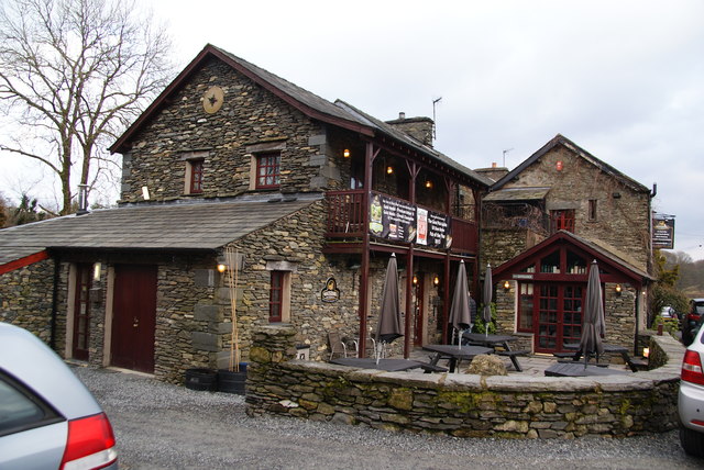
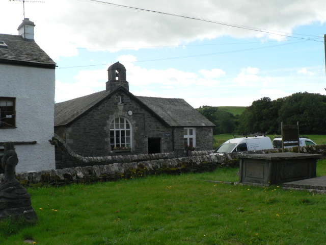
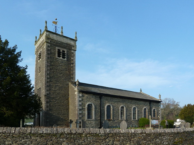
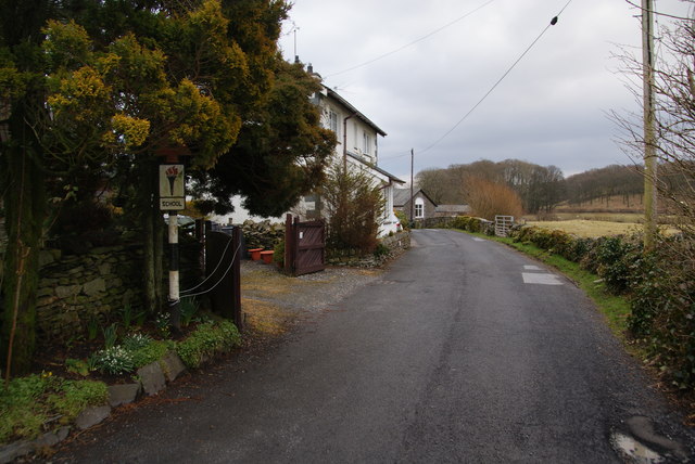
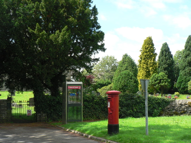
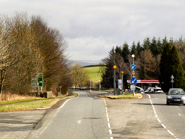
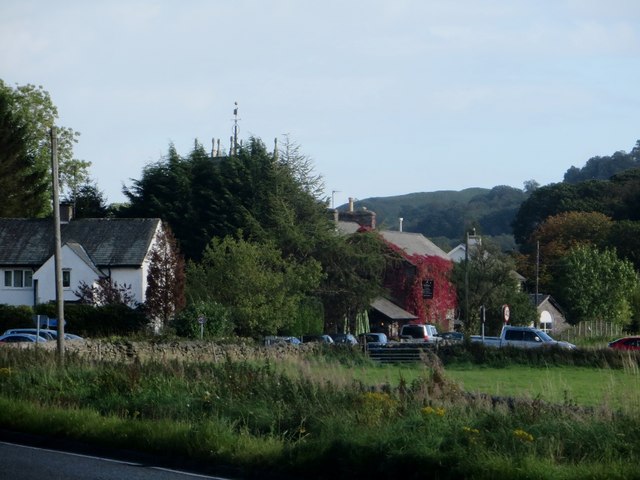
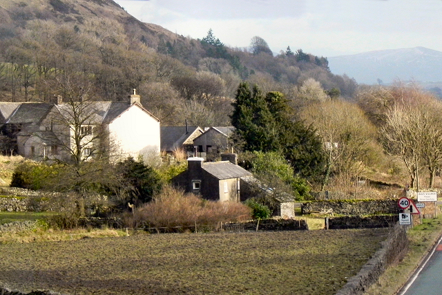
Topics > Cumbria > Ings

Ings


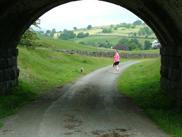
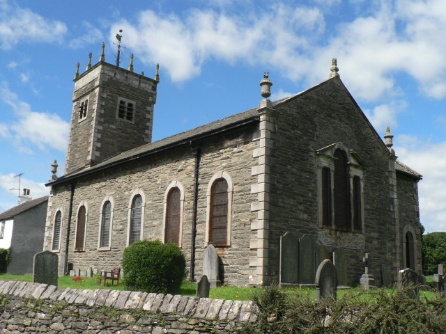
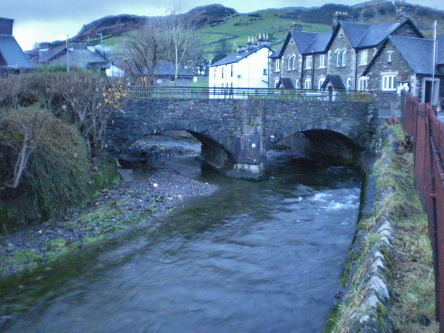
Ings is a village in the South Lakeland district of Cumbria, located on the A591 road, about 2 miles west of Windermere and 5 miles north-west of Kendal.  Ings is situated near the River Gowen. St Anne's Church in Ings dates from the mid 18th century. Ings forms part of Hugill Civil Parish.

River Gowan (Cumbria) Hugill Civil Parish Hugill, 1848 Church of St Anne, Ings
from Geograph (geograph)
The Watermill, Ings

Pinned by Simon Cotterill
from Geograph (geograph)
Ings: the Parish Hall

Pinned by Simon Cotterill
from Geograph (geograph)
St Anne's Church, Ings

Pinned by Simon Cotterill
from Geograph (geograph)
Church View, Ings

Pinned by Simon Cotterill
from Geograph (geograph)
Ings: postbox № LA8 18 and phone box

Pinned by Simon Cotterill
from Geograph (geograph)
A591 at Ings

Pinned by Simon Cotterill
from Geograph (geograph)
Ings village

Pinned by Simon Cotterill
from Geograph (geograph)
Ings, Hill Farm

Pinned by Simon Cotterill
from Geograph (geograph)
Bridge under Windermere branch railway line

Pinned by Simon Cotterill

Comments

Add a comment or share a memory.

Login to add a comment. Sign-up if you don't already have an account.


ABOUT US

Co-Curate is a project which brings together online collections, museums, universities, schools and community groups to make and re-make stories and images from North East England and Cumbria. Co-Curate is a trans-disciplinary project that will open up 'official' museum and 'un-officia'l co-created community-based collections and archives through innovative collaborative approaches using social media and open archives/data.

LATEST SHARED RESOURCES