Topics > Cumbria > Plumpton Head
Plumpton Head
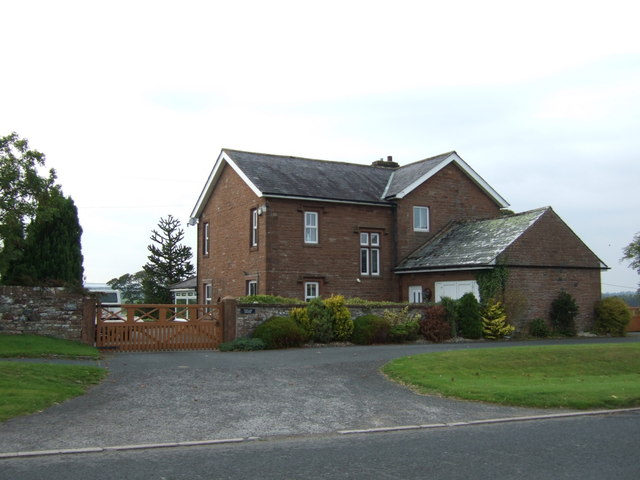
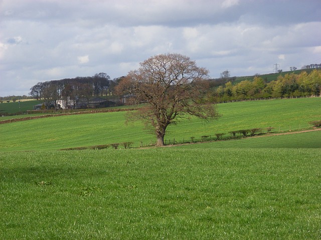
Plumton Head is a hamlet in Cumbria, located by the A6 road, about 3 miles north of Penrith and just over 1 mile south of the village of Plumpton.
PLUMPTON-HEAD, a hamlet, in the parish and union of Penrith, Leath ward, E. division of Cumberland; containing 87 inhabitants.
Extract from: A Topographical Dictionary of England comprising the several counties, cities, boroughs, corporate and market towns, parishes, and townships..... 7th Edition, by Samuel Lewis, London, 1848.
Co-Curate Page
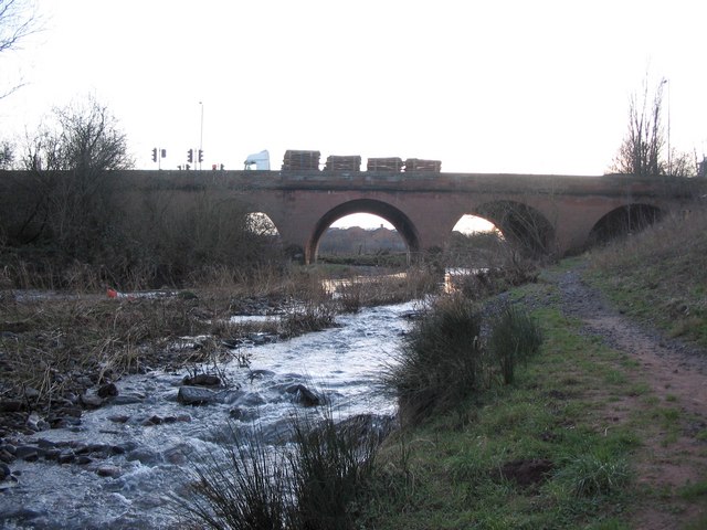
River Petteril
- Overview About the River Petteril The River Petteril is a river in Cumbria, which is a tributary of the River Eden. The river arises near the village of Penruddock and flows …


