Topics > Cumbria > Kendal > Kirkland

Kirkland


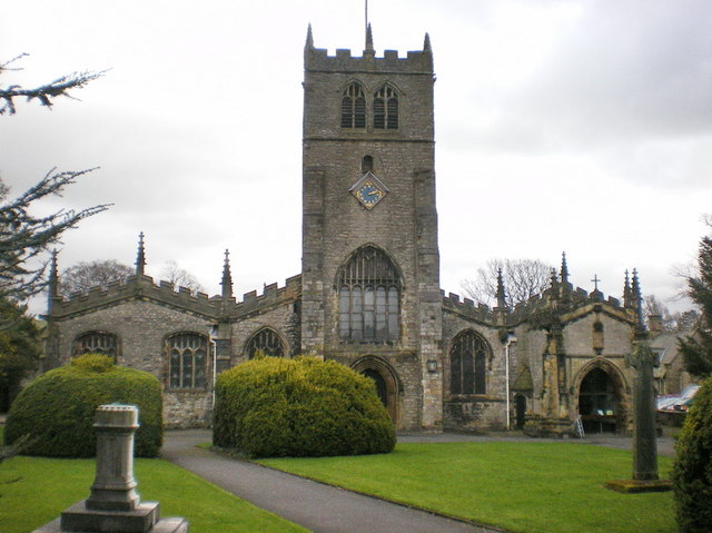
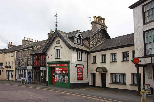
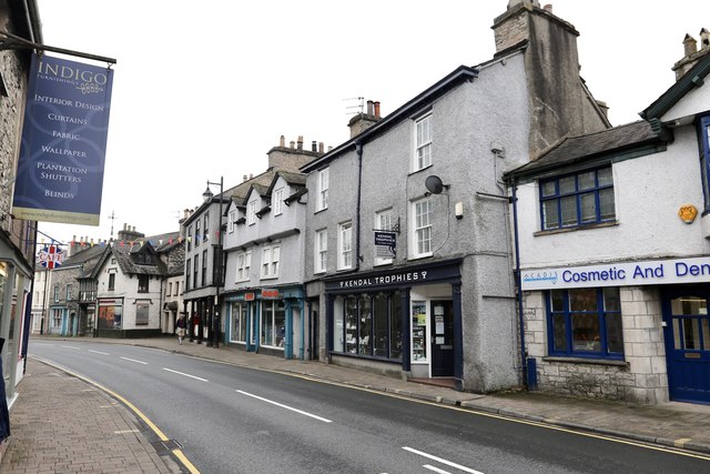
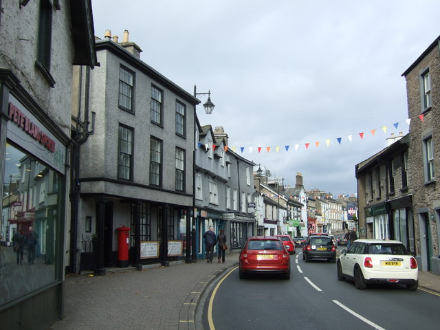
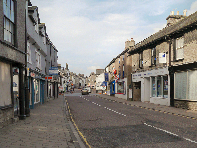
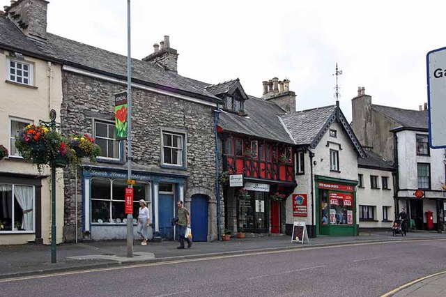
Kirkland is a major road in Kendal which continues northwards from Milthorpe Road and onwards to Highgate, forming pat of the A6 route. The area around here is referred to as Kirkland. In the past Kirkland was a township and later Kirkland civil parish, which then became part of Kendal Civil Parish in 1908.

KIRKLAND, a township, adjoining the town, and in the parish, union, and ward of Kendal, county of Westmorland; containing 1,222 inhabitants.

Extract from: A Topographical Dictionary of England comprising the several counties, cities, boroughs, corporate and market towns, parishes, and townships..... 7th Edition, by Samuel Lewis, London, 1848.

Kendal Kendal Parish, 1848
from Geograph (geograph)
Kirkland, Kendal

Pinned by Simon Cotterill
from Geograph (geograph)
Kirkland, Kendal

Pinned by Simon Cotterill
from Geograph (geograph)
Former post office on Kirkland, Kendal

Pinned by Simon Cotterill
from Geograph (geograph)
Kirkland (A6)

Pinned by Simon Cotterill
from Geograph (geograph)
Kirkland, Kendal

Pinned by Simon Cotterill
from Geograph (geograph)
George V postbox on Kirkland, Kendal

Pinned by Simon Cotterill
from Geograph (geograph)
The Wheatsheaf

Pinned by Simon Cotterill
from Flickr (flickr)
Kendal - Kirkland - real photographic postcard

Pinned by Peter Smith
from Flickr (flickr)
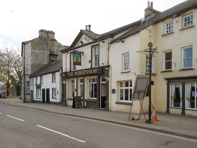
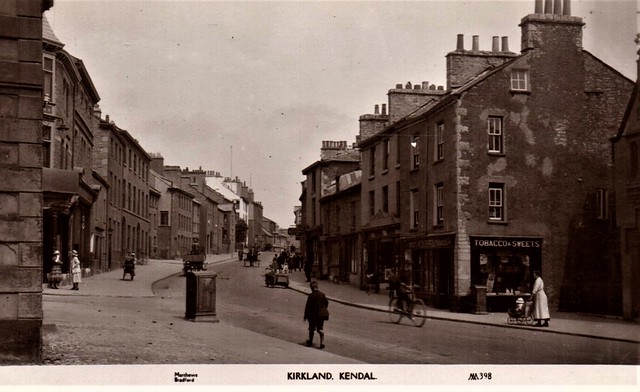
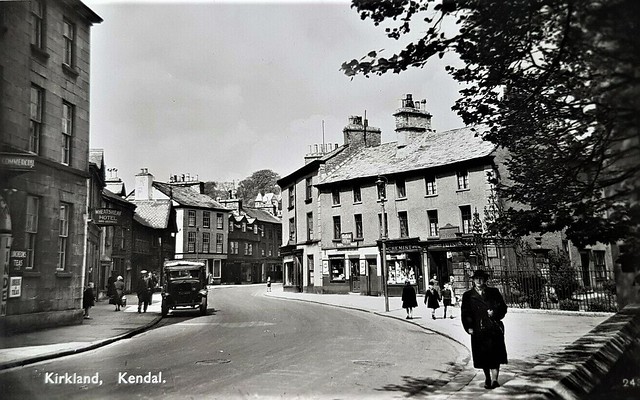
KIRKLAND, KENDAL, WHEATSHEAF HOTEL. VINTAGE REAL PHOTO POSTCARD

Pinned by Peter Smith

Comments

Add a comment or share a memory.

Login to add a comment. Sign-up if you don't already have an account.


ABOUT US

Co-Curate is a project which brings together online collections, museums, universities, schools and community groups to make and re-make stories and images from North East England and Cumbria. Co-Curate is a trans-disciplinary project that will open up 'official' museum and 'un-officia'l co-created community-based collections and archives through innovative collaborative approaches using social media and open archives/data.

LATEST SHARED RESOURCES