Topics > Cumbria > Witherslack
Witherslack
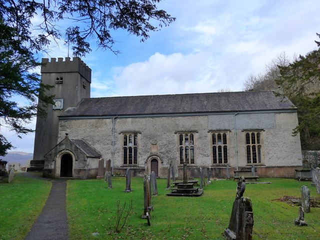
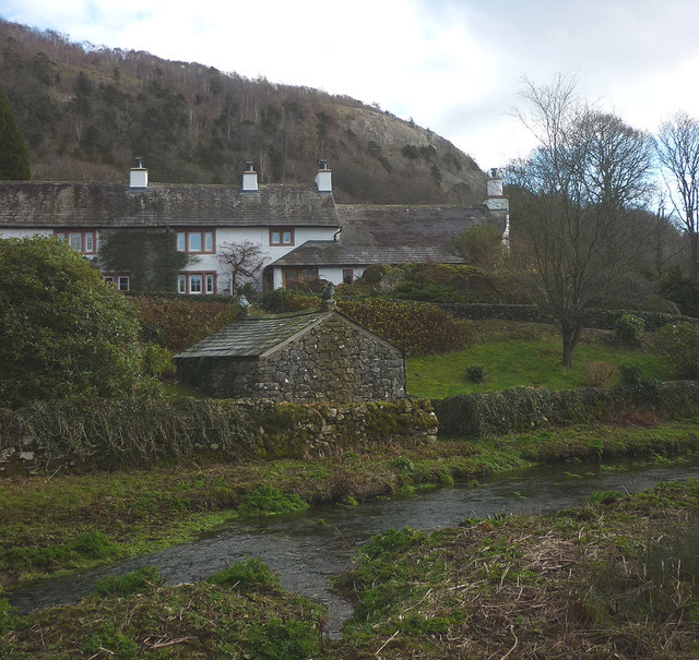
WITHERSLACK, a chapelry, in the parish of Beetham, union and ward of Kendal, county of Westmorland, 7½ miles (W.N.W.) from Milnthorpe; containing 489 inhabitants. A fishery here in the river Belo, which passes through the chapelry, belongs to the Earl of Derby, who holds his manorial court at the Derby Arms, on the second Tuesday after Trinity: the ancient Hall has been converted into a farmhouse. The living is a perpetual curacy; net income, £93; patrons, the Trustees of Barwick's charity. The chapel, dedicated to St. Paul, was built in 1664, by Dr. John Barwick, a native of the place, and Dean of St. Paul's, London, who bequeathed the impropriate rectory of Lazonby, to which his brother, Peter Barwick, M.D., added an estate near Kirk-Oswald, to provide an annuity of £26 to the curate for teaching 40 children, one of £4 for repairing the chapel, and another of £10 for placing out apprentices or as a marriage portion to maidens. These allowances have been considerably augmented by the increased value of the lands, which now let for about £400 a year. About a mile from the chapel, a chalybeate spring was discovered, and named Holy Well, in 1656; but it has since disappeared.
Extract from: A Topographical Dictionary of England comprising the several counties, cities, boroughs, corporate and market towns, parishes, and townships..... 7th Edition, by Samuel Lewis, London, 1848.
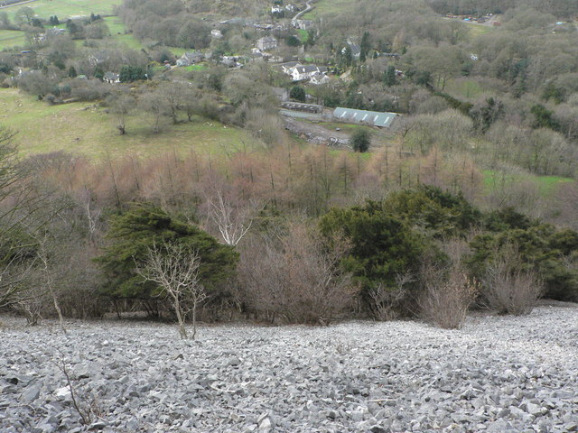
Witherslack is a small village and former civil parish, now in the parish of Witherslack, Meathop and Ulpha, in the south of Cumbria. It lies on the north eastern side of Morecambe Bay, England. The eastern side of the village borders Whitbarrow Scar with Yewbarrow, which is a small limestone hill, located in the centre of the village.
In the 2001 census the former parish had a population of 482, increasing at the 2011 census to 499.
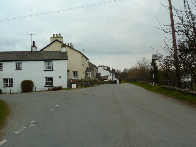
Witherslack is quite scattered with four distinct areas. Townend, Mill Side, Beck Head and the school/church. Townend is traditionally considered the centre of the village and contains the local pub, The Derby Arms, and the Community Shop. Mill Side is the location of the old Mill and still contains the mill pond. Beck Head lies to the north of Mill Side and is where a small river emerges from the limestone escarpment adjacent to Whitbarrow. The area of the village with the Dean Barwick School and St. Paul's church lies to the west of Yewbarrow.
Amenities
St Paul's Church is the only place of worship in the village.
The newly refurbished Derby Arms has several real ales and a selection of good food.
Witherslack also has a community shop which has the usual provisions and is also an outlet for local produce.
Schools
There are two schools in Witherslack;
- Dean Barwick Primary School which is a forest school that uses the natural area surrounding it to educate.
- Oversands School which provides education for children with behavioural and associated learning difficulties.
Geography
Witherslack sits on slate with carboniferous limestone forming the outcrops of Whitbarrow and Yewbarrow.
The village gives its name to nearby wetland, Witherslack Mosses.
Landmarks
East of the church and north of Townend lies Nether Hall, which was the 15th century home of the Harrington family. The present 16th and 17th century building incorporates walls 5 feet thick, which are probably the remains of a pele tower.
Visit the page: Witherslack for references and further details. You can contribute to this article on Wikipedia.

Co-Curate Page
Beetham (St. Michael) Parish, 1848
- BEETHAM (St. Michael), a parish, in the union and ward of Kendal, county of Westmorland; containing, with the townships of Farleton, Haverbrack, Methop with Ulpha, and Witherslack, 1,656 inhabitants, of …
from Flickr (flickr)
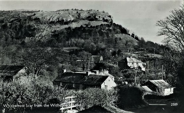
REAL PHOTO POSTCARD OF WHITBARROW SCAR FROM THE WITHERSLACK ROAD, WESTMORLAND
Pinned by Peter Smith

Co-Curate Page
Beetham (St. Michael) Parish, 1848
- BEETHAM (St. Michael), a parish, in the union and ward of Kendal, county of Westmorland; containing, with the townships of Farleton, Haverbrack, Methop with Ulpha, and Witherslack, 1,656 inhabitants, of …
from Flickr (flickr)
REAL PHOTO POSTCARD OF WHITBARROW SCAR FROM THE WITHERSLACK ROAD, WESTMORLAND
Pinned by Peter Smith