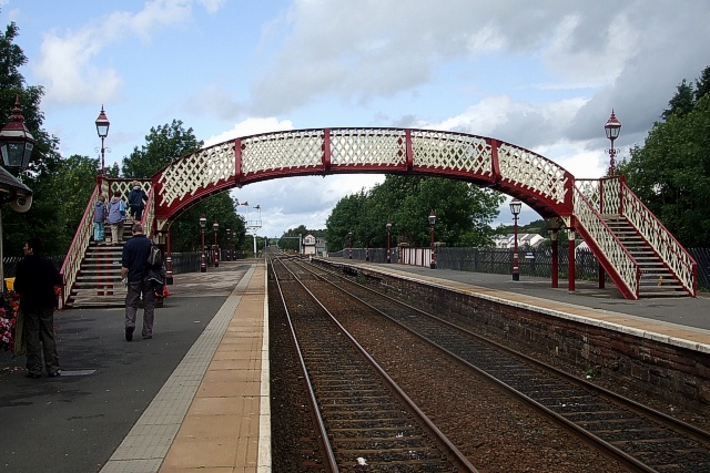
Topics > Ulverston > War Memorial, Ulverston > Underbarrow > Church of All Saints, Underbarrow > The Black Labrador, Underbarrow > Tollhouse, north-east of Underbarrow > War Memorial, Underbarrow > Unthank, Skelton > Watermillock > Church of all Saints, Watermillock > Windermere > Westmorland and Furness > Ackenthwaite > Old Parish Boundary Post, Ackenthwaite > Aiketgate > Ainstable > Church of St Michael and All Angels, Ainstable > Aldingham > Aldingham Hall (Risedale Nursing Home) > Church of St Cuthbert, Aldingham > Old Rectory, Aldingham > Sundial, St Cuthbert's Church, Aldingham > Allithwaite > Church of Mary, Allithwaite > Alston > Alston at War > Alston Bridge over the South Tyne > Alston Conservation Area > Alston Station > Station House, Alston > Alston Town Hall > Church of St Augustine > Friends Meeting House, Alston > Gossipgate Bridge, Alston > High Mill, Alston > Lowbyer Manor Country House, Alston > Market Cross > Mill Burn, Mill Races and Fairfield Dam > Old Brewery, Alston > Old Milestone near Alston Town Hall > Old Tollhouse, A686 > The Angel Inn, Alston > Walton Monument, Alston > War Memorial, Alston > Ambleside > Ambleside at War > Ambleside CofE Primary School > Ambleside Conservation Area > Ambleside Roman Fort (Galava) > Ambleside, 1848 > Bridge House, Ambleside > Church of St Mary, Ambleside > High Sweden Bridge, Ambleside > Low Sweden Bridge, Ambleside > War Memorial, Ambleside > Appleby-in-Westmorland > Appleby Castle > Caesar's Tower, Appleby Castle > Lady Anne's Belvedere > Appleby Conservation Area > Appleby East Station > Appleby Horse Fair > Appleby Station > Appleby Station, East Platform Building > Appleby Station, Footbridge > Appleby, 1848 > Bongate > Old Milestone, Bongate > Boroughgate > The Red House > The White House > Bridge Street > Church of St Lawrence > Church of St. Michael > High Cross > Low Cross > Moot Hall > Scattergate > St Anne's Hospital (Almshouses) > St Lawrence's Bridge > The Cloisters > Armathwaite > Armathwaite Bridge > Armathwaite Castle > Armathwaite, 1848 > Arnside > Arnside Tower > Arnside Viaduct > Arnside, 1848 > Arrad Foot > Old Post Office, Winster > Arthuret > Old Schoolhouse, Winster > The Brown Horse Inn, Winster > Westnewton, Cumbria > Church of St Matthew, Westnewton > Old Milestone, Westnewton > St Matthew's C.of.E School, Westnewton > Westnewton Castle (remains) > Westnewton Conservation Area > Westnewton Hall > Westnewton Village Hall > Whale, Cumbria > Whale Farmhouse > Whalemoor > Whinnow, Thursby > Whinnyhill > Whiteclosegate, Carlisle > Old Carlisle City Boundary Stone, Whiteclosegate > Willowford > Winder > Windermere Conservation Area > Church of St Mary, Windermere > Winster > Church of the Holy Trinity, Winster > Abbot Holme, Cumbria > Abbot Holme Bridge > House at East of Abbot Holme > House at West of Abbot Holme > Allerby, Cumbria > Old Milestone near Heather Bank > Angerton (Furness) > Baldwinholme > Banks, Cumbria > Beckbrow, Bowness > Beckfoot, Kirkby Stephen > Beckside, Underbarrow > Bridge To West Of Beckside Farmhouse > Bellbank, Bewcastle > Birkrigg > Birkrigg Park, Cumbria > Blackwell, Carlisle > Blackwell House > Carlisle Racecourse > Bleatarn > Bortree Stile > Bouth, Cumbria > Bowkerstead > Low Bowkerstead and Barn > Bowness-on-Windermere
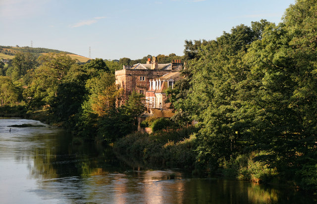
Bowness-on-Windermere
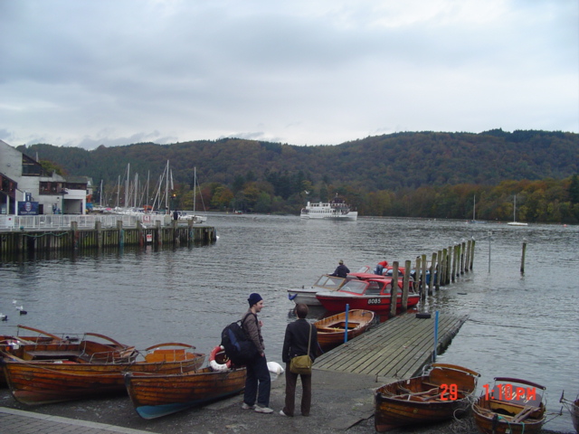
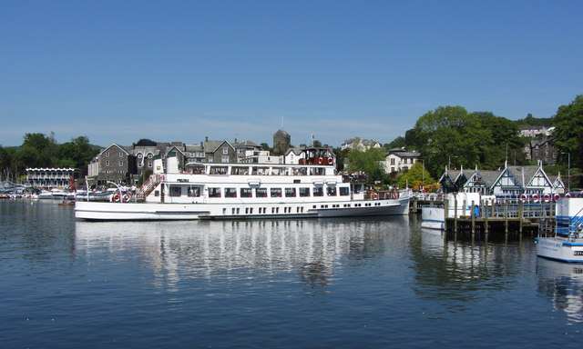
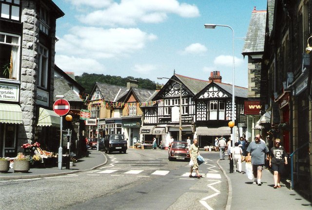
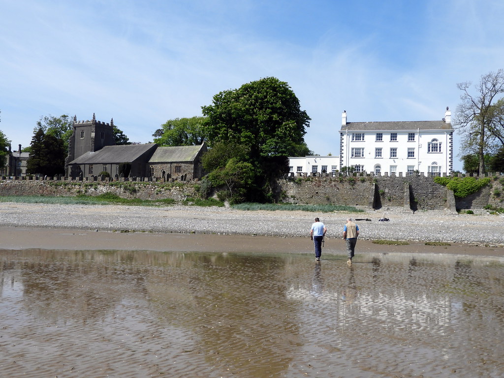
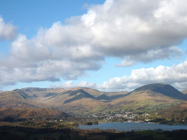
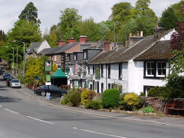
Bowness-on-Windermere is a town in South Lakeland, Cumbria, England. Due to its position on the banks of Windermere, the town has become a tourist honeypot. Although their mutual growth has caused them to become one large settlement, the town is distinct from the town of Windermere as the two still have distinguishable town centres. Historically part of Westmorland, in 2012, Bowness was one of the official stop off points for the Olympic torch before it made its way to the Olympic Games opening ceremony.
Etymology
'Bowness' (originally 'Bulnes') means " 'the headland where the bull grazes', from OE 'bula', 'bull' and OE 'næss' 'headland', perhaps referring to the keeping of the parish bull." The 'on-Windermere' part was added later (found on the Ordnance Survey map of 1899), presumably to distinguish this 'Bowness' from other Cumbrian ones. ('OE' = Old English).
History
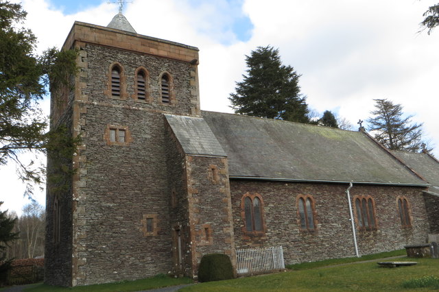
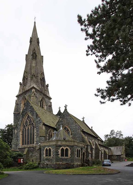
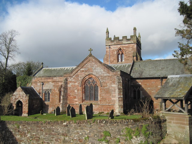
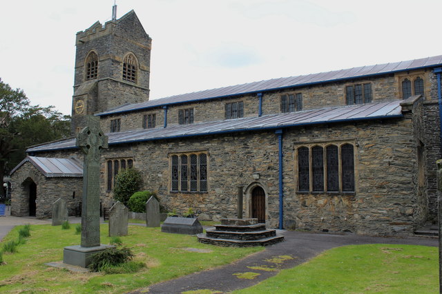
The town's ancient parish church of St Martin was built in 1483 but of an older foundation. The former rectory is said to have been built in 1415.
Bowness-on-Windermere became a civil parish in 1894 and an urban district council was formed for the town at the same time. In 1905, the council merged with that of Windermere, and the two civil parishes merged in 1974 under the name of Windermere. The civil parish is governed by a town council.
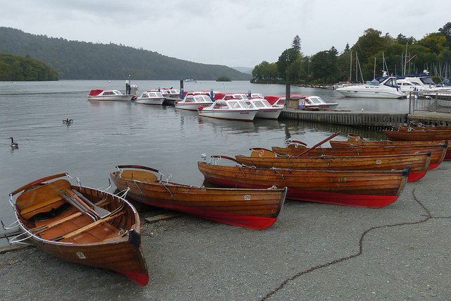
During the 19th century, Bowness grew from a small fishing village to a town living almost entirely off tourism and holiday homes. It was the centre of the boat-building industry that provided the sailing yachts, rowing boats and steam launches used on the lake. A large number of hotels and boarding houses gave employment to the permanent population of the town. The arrival of the railway in 1847 in Windermere (the residents of Bowness had opposed a station in their own town) provided much of the momentum for the growth.
Transport
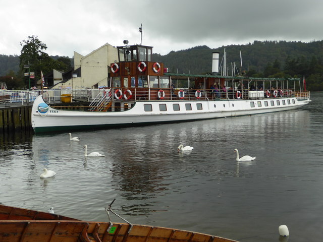
Windermere railway station offers train and bus connections to the surrounding areas, Manchester, Manchester Airport and the West Coast Main Line, and is about from the lakefront. Both Stagecoach and the local council provide frequent connecting buses from Bowness Pier; Stagecoach's open-top double-decker buses travel through the centre of town and continue to Ambleside and Grasmere, while the council's wheelchair-accessible minibuses run around the edge of town. The Windermere Ferry, a car carrying cable ferry, connects Bowness at Ferry Nab on the eastern side of the lake with Ferry House Far Sawrey on the western side of the lake, a trip of approximately 10 minutes. For those looking for a more leisurely way to travel, Windermere Lake Cruises operate regular lake cruises running from Bowness Bay to the north end of the lake at Ambleside and south end at Fell Foot.
Media
Readers of Arthur Ransome's Swallows and Amazons series of books will recognise Bowness as the lakeside town of 'Rio'. The collection at the Windermere Steamboat Museum on Rayrigg Road includes TSSY Esperance, 1869; one of the iron steamboats on which Ransome modelled Captain Flint's houseboat. Bowness-on-Windermere is also home to the Beatrix Potter attraction.
Visit the page: Bowness-on-Windermere for references and further details. You can contribute to this article on Wikipedia.
from Flickr (flickr)
[Windermere and Bowness, Lake District, England] (LOC)
Pinned by Simon Cotterill
from Flickr (flickr)
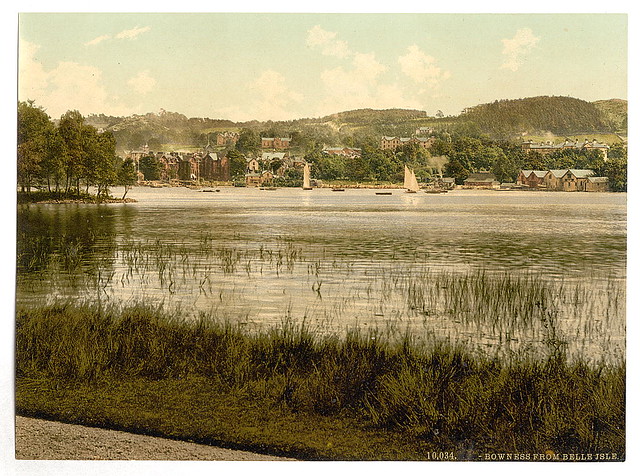
[Windermere, Bowness, from Bellisle, Lake District, England] (LOC)
Pinned by Simon Cotterill
from Flickr (flickr)
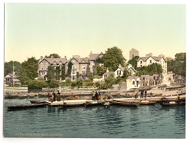
[Windermere, Bowness, boat landing, Lake District, England] (LOC)
Pinned by Simon Cotterill

from Flickr (flickr)
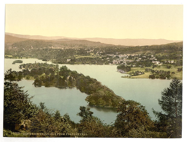
[Windermere, Bowness, from Birch Holm, Lake District, England] (LOC)
Pinned by Simon Cotterill
from Flickr (flickr)
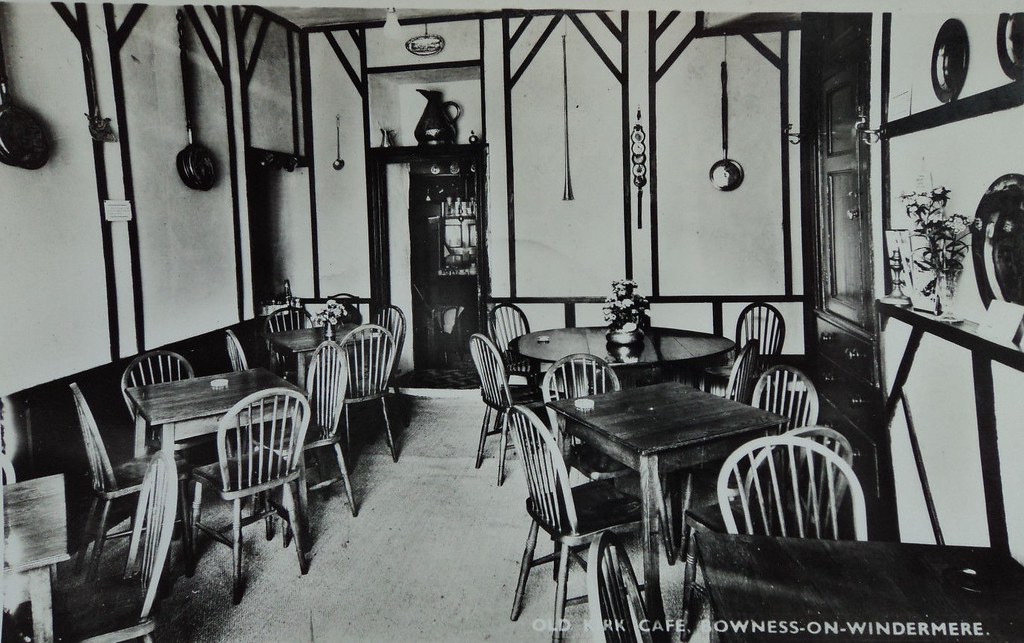
Old Kirk Cafe, Bowness on Windermere. Cumbria. Unposted 1950
Pinned by Peter Smith
from Flickr (flickr)
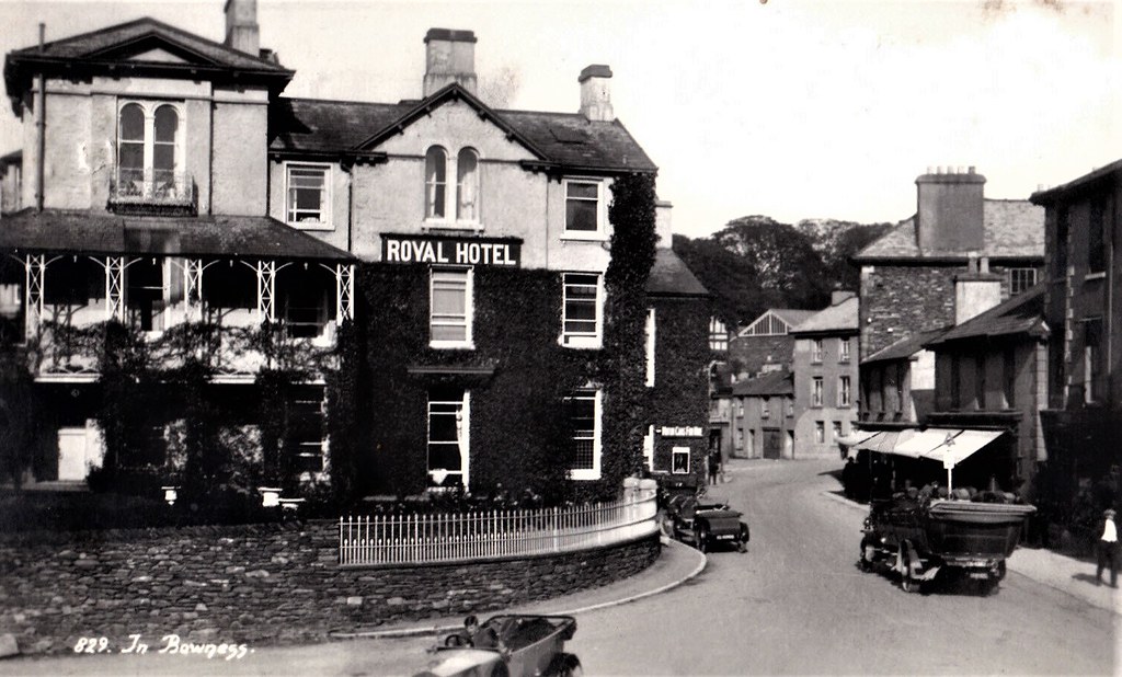
1925 RP POSTCARD ROYAL HOTEL IN BOWNESS, CUMBRIA, WESTMORLAND
Pinned by Peter Smith
from Flickr (flickr)
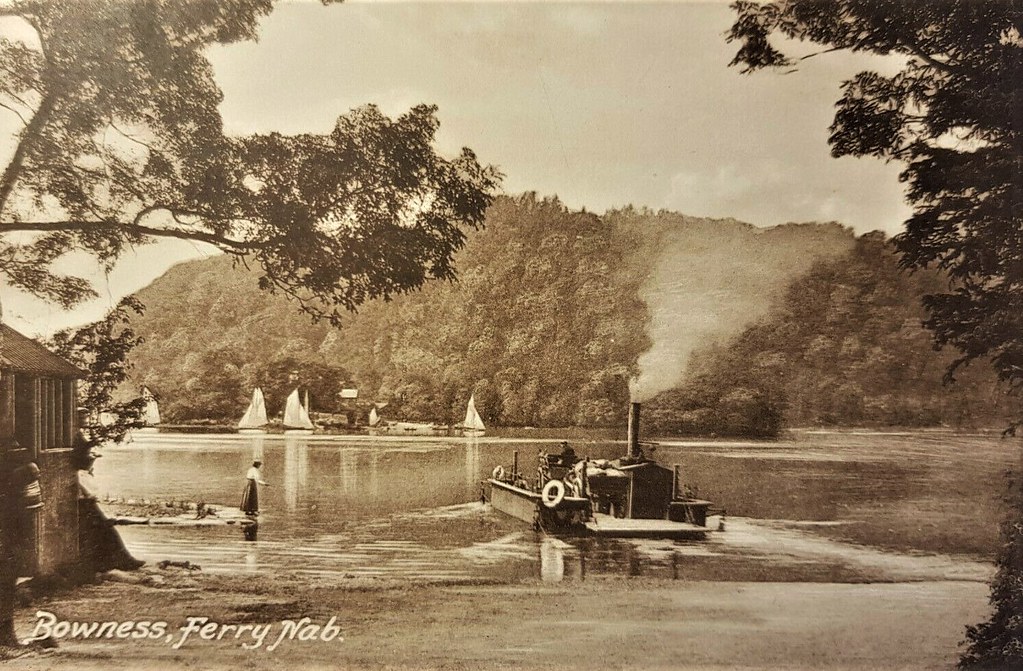
BOWNESS FERRY NAB (STEAM) old postcard GOOD CONDITION FRITHS SERIES 1924
Pinned by Peter Smith
from Flickr (flickr)
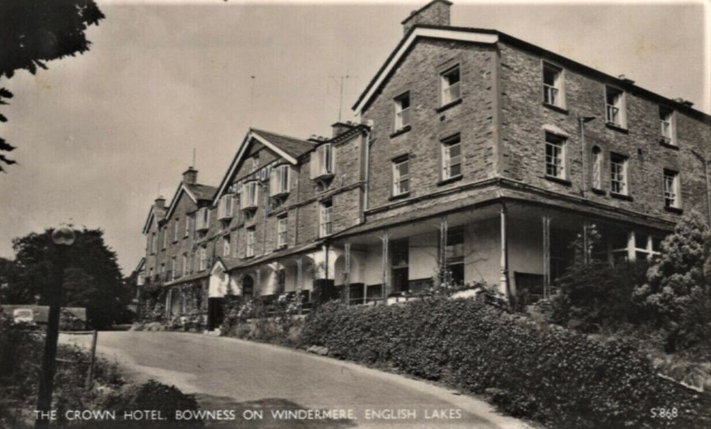
Bowness On Windermere The Crown Hotel Vintage RP Postcard 139c
Pinned by Peter Smith
from Flickr (flickr)
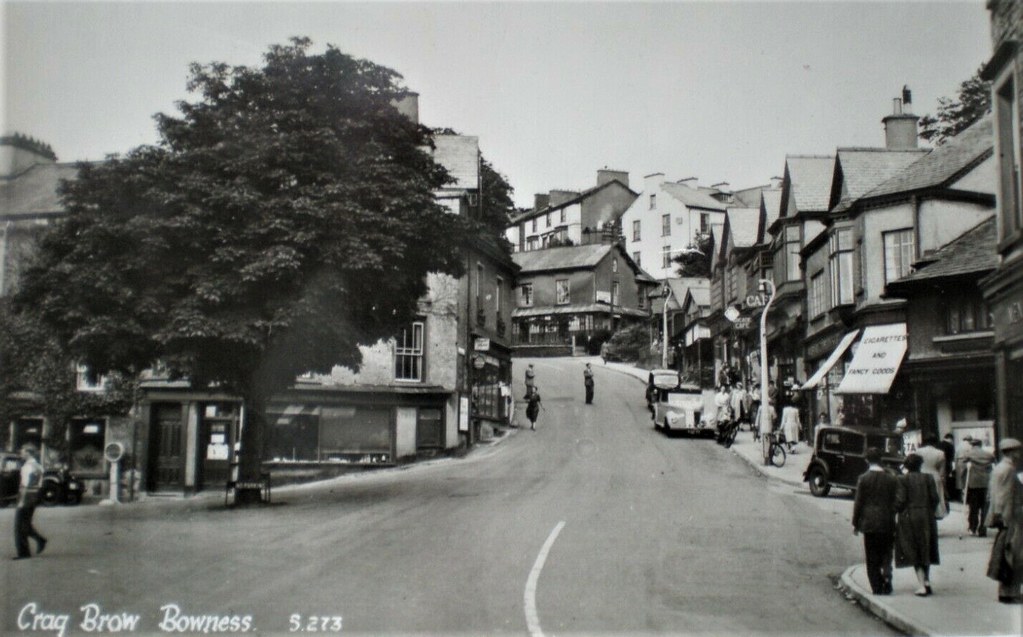
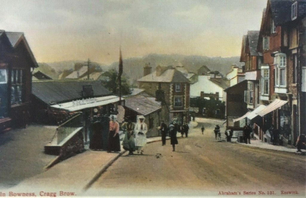
BOWNESS-ON-WINDERMERE CRAGG BROW - NICE EARLY ABRAHAM COLOURED POSTCARD!
Pinned by Peter Smith
from Flickr (flickr)
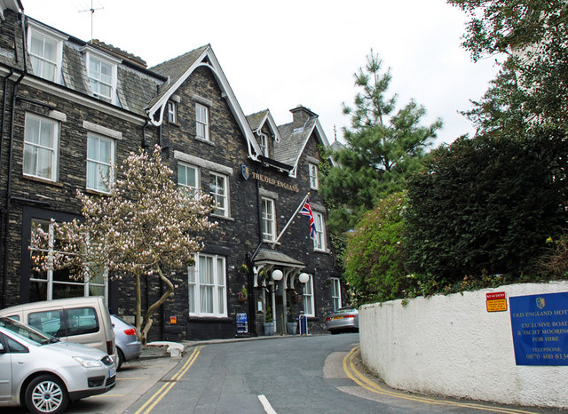
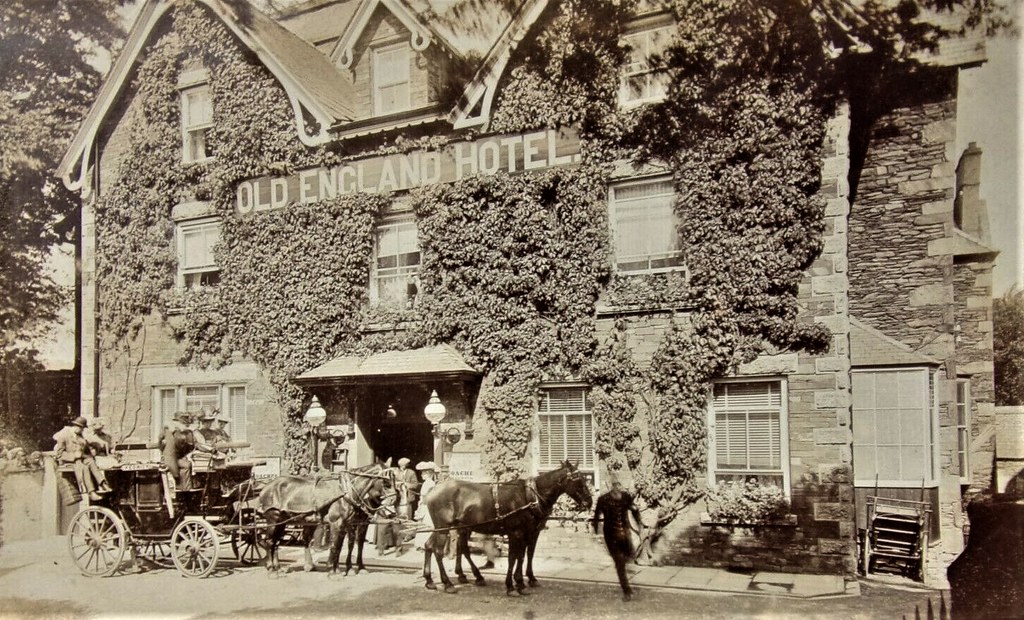
Bowness-on-Windermere OLD ENGLAND HOTEL (Keswick horse drawn coach) RP postcard
Pinned by Peter Smith
from Flickr (flickr)
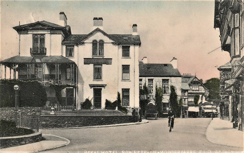
BOWNESS-ON-WINDERMERE ROYAL HOTEL old postcard 1908 to Saint Pauls road North sh
Pinned by Peter Smith
from Flickr (flickr)
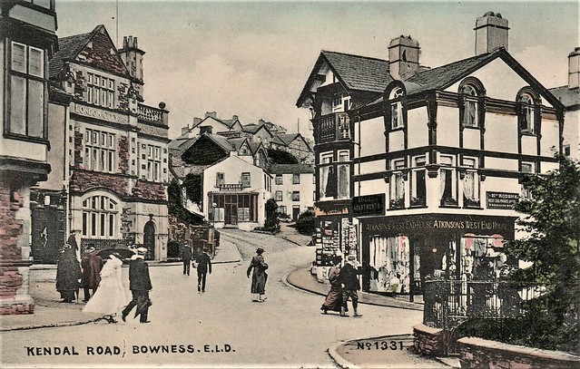
KENDAL ROAD BOWNESS hand coloured old postcard in excellent condition + photos
Pinned by Peter Smith
from Flickr (flickr)
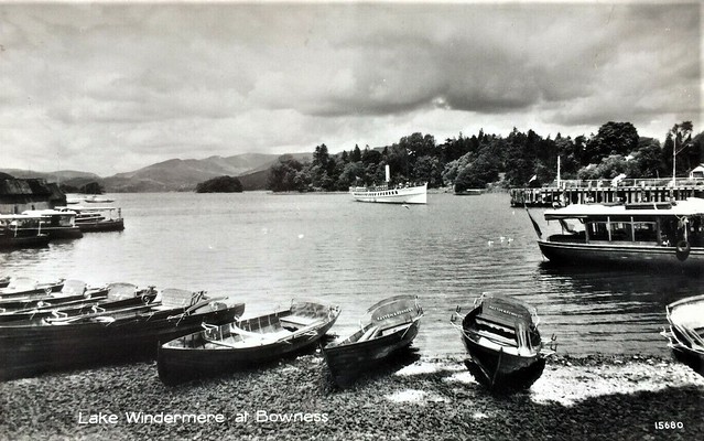
Rowing, Steam and Pleasure boats, BOWNESS BAY, Windermere, Cumbria
Pinned by Peter Smith
from Flickr (flickr)
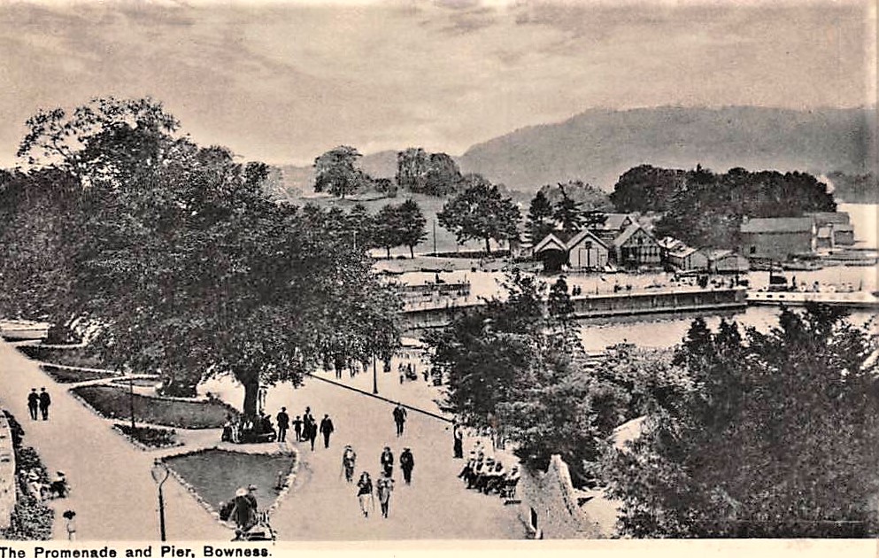
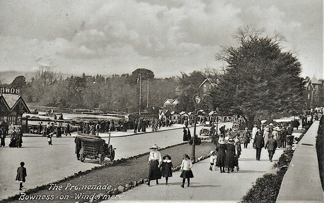
VINTAGE ANIMATED POSTCARD,THE PROMENADE,BOWNESS-ON-WINDERMERE,CUMBRIA,1913
Pinned by Peter Smith

from https://www.sankeyphotoarchiv…
Bowness Bay - c.1925
- Bowness Bay looking North West from grounds of Belsfield Hotel. Two motor busses parked in front of the Bowness Pier and a mobile street vendor (motorbike and converted sidecar) is …
Added by
Simon Cotterill
from https://www.sankeyphotoarchiv…
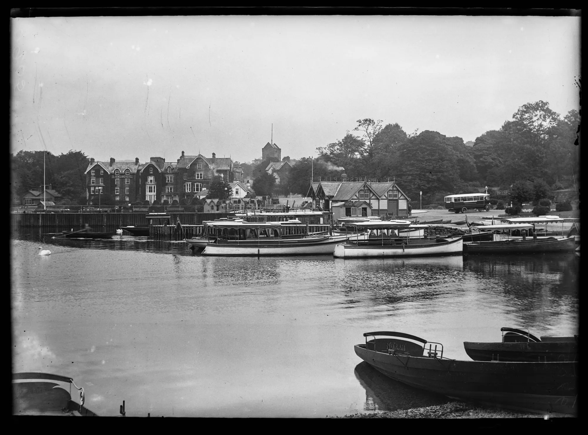
Bowness Bay - c.1925
- Looking Northeast across Bowness bay from the Glebe Road shore. Opposite are The Old England Hotel, St Martins church tower and Bowness Pier. Several motor launches are moored at the …
Added by
Simon Cotterill
from https://www.sankeyphotoarchiv…
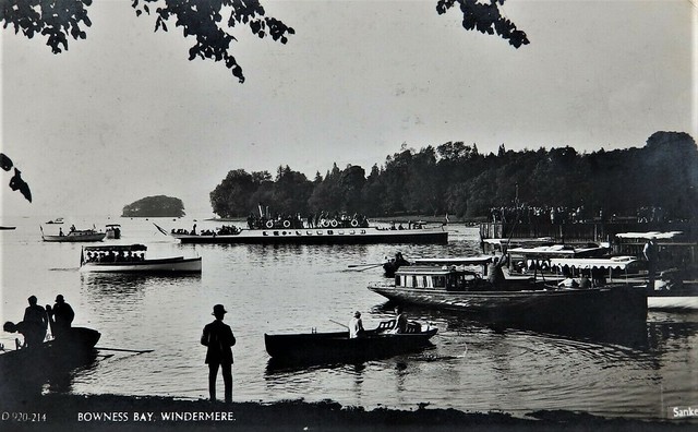
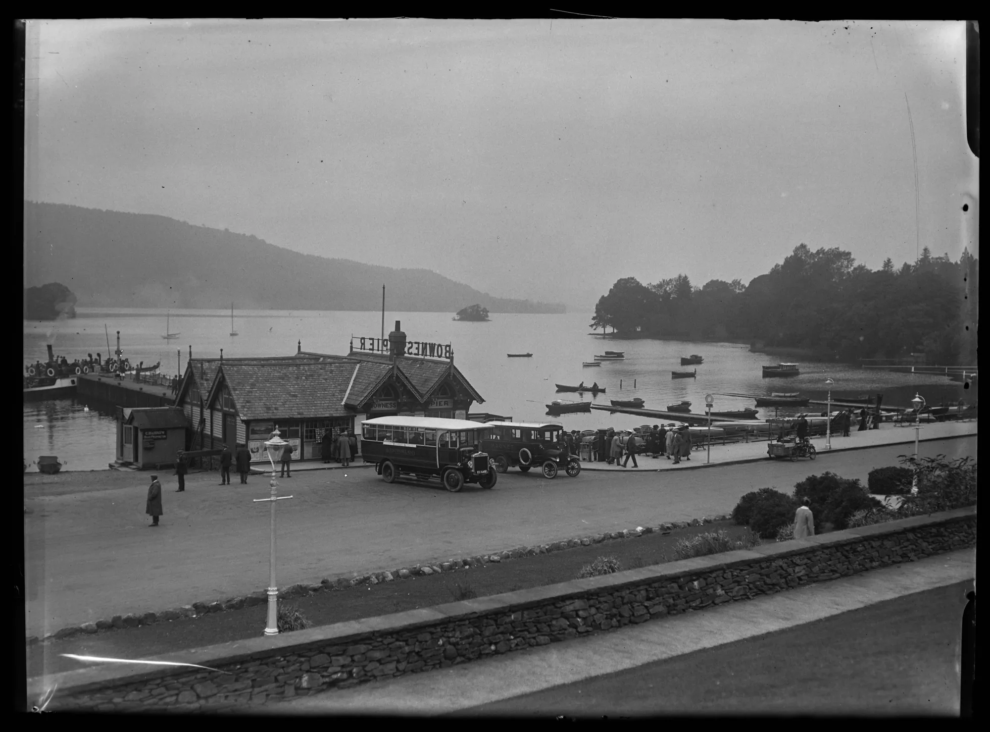
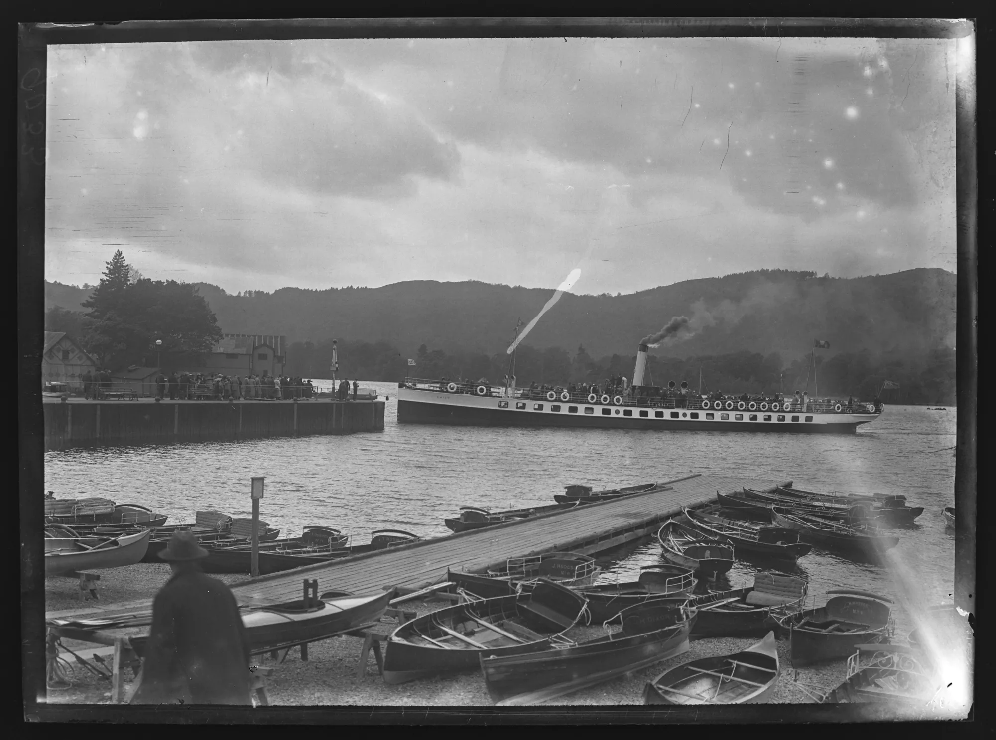
Bowness Bay Boat Landings and Steamer Pier, Swift - c.1925
- Looking west from the edge of Bowness Promenade at the steamer Swift, flying the Furness Railway flag and about to dock at the steamer pier with a big crowd on …
Added by
Simon Cotterill


from Flickr (flickr)
[Windermere and Bowness, Lake District, England] (LOC)
Pinned by Simon Cotterill
from Flickr (flickr)
[Windermere, Bowness, from Bellisle, Lake District, England] (LOC)
Pinned by Simon Cotterill
from Flickr (flickr)
[Windermere, Bowness, boat landing, Lake District, England] (LOC)
Pinned by Simon Cotterill
from Flickr (flickr)
[Windermere, Bowness, from Birch Holm, Lake District, England] (LOC)
Pinned by Simon Cotterill
from Flickr (flickr)
Old Kirk Cafe, Bowness on Windermere. Cumbria. Unposted 1950
Pinned by Peter Smith
from Flickr (flickr)
1925 RP POSTCARD ROYAL HOTEL IN BOWNESS, CUMBRIA, WESTMORLAND
Pinned by Peter Smith
from Flickr (flickr)
BOWNESS FERRY NAB (STEAM) old postcard GOOD CONDITION FRITHS SERIES 1924
Pinned by Peter Smith
from Flickr (flickr)
Bowness On Windermere The Crown Hotel Vintage RP Postcard 139c
Pinned by Peter Smith
from Flickr (flickr)
BOWNESS-ON-WINDERMERE CRAGG BROW - NICE EARLY ABRAHAM COLOURED POSTCARD!
Pinned by Peter Smith
from Flickr (flickr)
Bowness-on-Windermere OLD ENGLAND HOTEL (Keswick horse drawn coach) RP postcard
Pinned by Peter Smith
from Flickr (flickr)
BOWNESS-ON-WINDERMERE ROYAL HOTEL old postcard 1908 to Saint Pauls road North sh
Pinned by Peter Smith
from Flickr (flickr)
KENDAL ROAD BOWNESS hand coloured old postcard in excellent condition + photos
Pinned by Peter Smith
from Flickr (flickr)
Rowing, Steam and Pleasure boats, BOWNESS BAY, Windermere, Cumbria
Pinned by Peter Smith
from Flickr (flickr)
VINTAGE ANIMATED POSTCARD,THE PROMENADE,BOWNESS-ON-WINDERMERE,CUMBRIA,1913
Pinned by Peter Smith
from https://www.sankeyphotoarchiv…
Bowness Bay - c.1925
- Bowness Bay looking North West from grounds of Belsfield Hotel. Two motor busses parked in front of the Bowness Pier and a mobile street vendor (motorbike and converted sidecar) is …
Added by
Simon Cotterill
from https://www.sankeyphotoarchiv…
Bowness Bay - c.1925
- Looking Northeast across Bowness bay from the Glebe Road shore. Opposite are The Old England Hotel, St Martins church tower and Bowness Pier. Several motor launches are moored at the …
Added by
Simon Cotterill
from https://www.sankeyphotoarchiv…
Bowness Bay Boat Landings and Steamer Pier, Swift - c.1925
- Looking west from the edge of Bowness Promenade at the steamer Swift, flying the Furness Railway flag and about to dock at the steamer pier with a big crowd on …
Added by
Simon Cotterill
Ulverston
War Memorial, Ulverston
Underbarrow
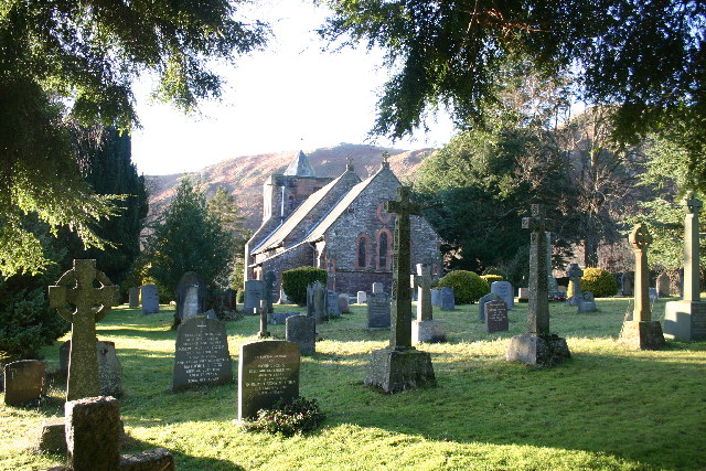
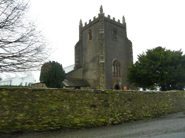
Church of All Saints, Underbarrow
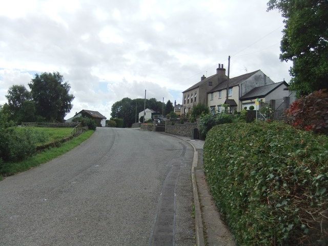
The Black Labrador, Underbarrow
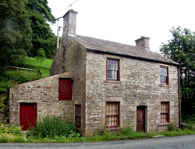
Tollhouse, north-east of Underbarrow
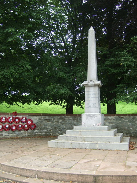
War Memorial, Underbarrow
Unthank, Cumbria
Watermillock
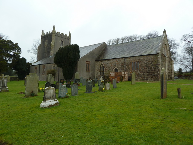
Church of all Saints, Watermillock
Windermere

Westmorland and Furness
Ackenthwaite
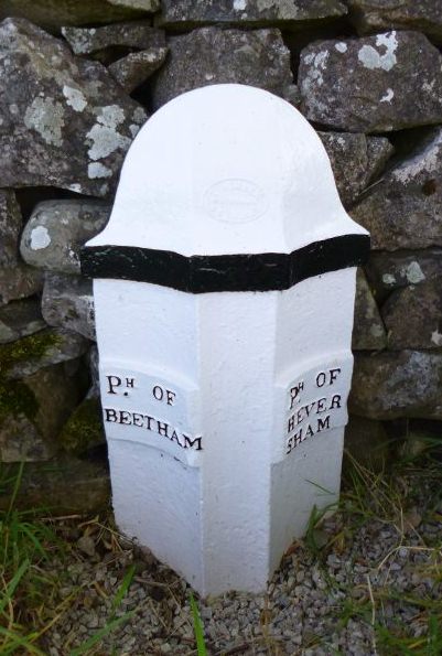
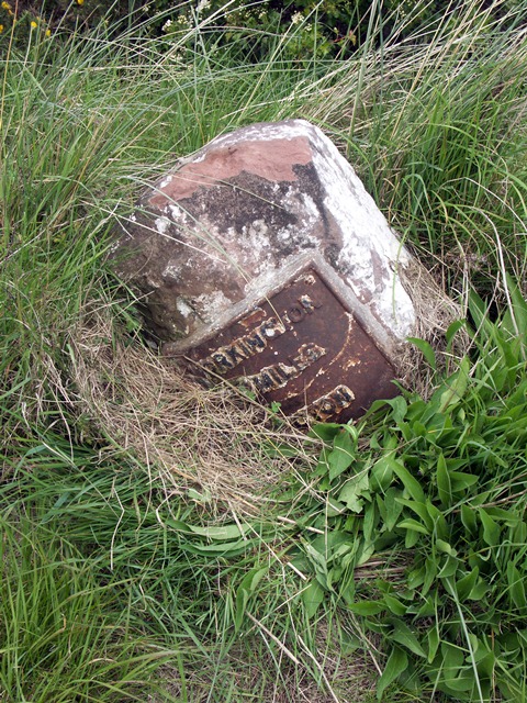
Old Parish Boundary Post, Ackenthwaite
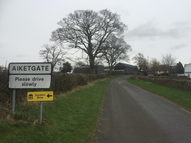
Aiketgate, Cumbria
Ainstable
Church of St Michael and All Angels, Ainstable
Aldingham
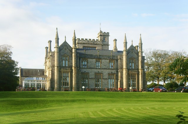
Aldingham Hall (Risedale Nursing Home)
Church of St Cuthbert, Aldingham
Old Rectory, Aldingham
Sundial, St Cuthbert's Church, Aldingham
Allithwaite

Church of Mary, Allithwaite
Alston
Alston at War
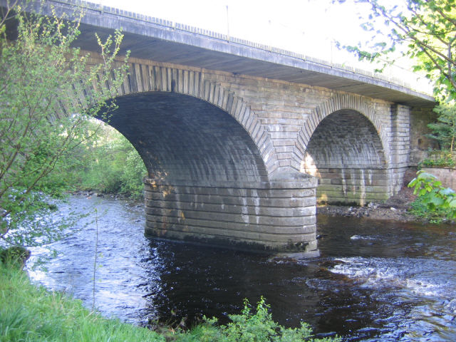
Alston Bridge over the South Tyne

Alston Conservation Area
Alston Station
Station House, Alston
Alston Town Hall
Church of St Augustine, Alston
Friends Meeting House, Alston

Gossipgate Bridge, Alston
High Mill, Alston
Lowbyer Manor Country House, Alston
Market Cross, Alston
Mill Burn, Mill Races and Fairfield Dam
Old Brewery, Alston
Old Milestone near Alston Town Hall
Old Tollhouse, A686
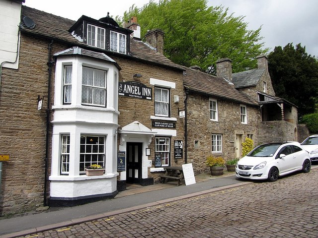
The Angel Inn, Alston
Walton Monument, Alston
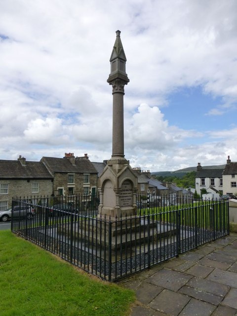
War Memorial, Alston
Ambleside
Ambleside at War
Ambleside CofE Primary School
Ambleside Conservation Area
Ambleside Roman Fort (Galava)

Ambleside, 1848
Bridge House, Ambleside
Church of St Mary, Ambleside
High Sweden Bridge, Ambleside
Low Sweden Bridge, Ambleside
War Memorial, Ambleside
Appleby-in-Westmorland
Appleby Castle
Caesar's Tower, Appleby Castle
Lady Anne's Belvedere, Appleby
Appleby Conservation Area
Appleby East Station
Appleby Horse Fair
Appleby Station
Appleby Station, East Platform Building
Appleby Station, Footbridge
Appleby, 1848
Bongate, Appleby-in-Westmorland
Old Milestone, Bongate, Appleby-in-Westmorland
Boroughgate, Appleby-in-Westmorland
The Red House, Appleby-in-Westmorland
The White House, Boroughgate, Appleby
Bridge Street, Appleby-in-Westmorland
Church of St Lawrence, Appleby
Church of St. Michael, Appleby
High Cross, Appleby
Low Cross, Appleby
Moot Hall, Appleby
Scattergate, Appleby-in-Westmorland
St Anne's Hospital (Almshouses), Appleby
St Lawrence's Bridge, Appleby-in-Westmorland
The Cloisters, Appleby
Armathwaite
Armathwaite Bridge
Armathwaite Castle
Armathwaite, 1848
Arnside
Arnside Tower
Arnside Viaduct
Arnside, 1848
Arrad Foot

Old Post Office, Winster, Cumbria
Arthuret, Cumbria
Old Schoolhouse, Winster
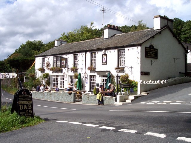
The Brown Horse Inn, Winster
Westnewton, Cumbria
Church of St Matthew, Westnewton
Old Milestone, Westnewton
St Matthew's C.of.E School, Westnewton
Westnewton Castle (remains)
Westnewton Conservation Area
Westnewton Hall
Westnewton Village Hall

Whale, Cumbria
Whale Farmhouse
Whalemoor
Whinnow, Thursby
Whinnyhill
Whiteclosegate, Carlisle
Old Carlisle City Boundary Stone, Whiteclosegate

Willowford
Winder, Cumbria
Windermere Conservation Area
Church of St Mary, Windermere
Winster, Cumbria
Church of the Holy Trinity, Winster
Abbot Holme, Cumbria
Abbot Holme Bridge
House at East of Abbot Holme
House at West of Abbot Holme
Allerby, Cumbria
Old Milestone near Heather Bank
Angerton (Furness)
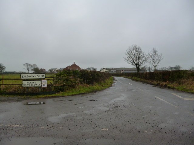
Baldwinholme

Banks, Cumbria
Beckbrow, Bowness

Beckfoot, Kirkby Stephen
Beckside, Underbarrow
Bridge To West Of Beckside Farmhouse
Bellbank, Bewcastle
Birkrigg, Keswick
Birkrigg Park, Cumbria
Blackwell, Carlisle
Blackwell House
Carlisle Racecourse
Bleatarn, Cumbria

Bortree Stile, Cumbria
Bouth, Cumbria
Bowkerstead
Low Bowkerstead and Barn
Church of St Martin, Bowness-on-Windermere

Belsfield Hotel, Bowness-on-Windermere
Windermere Jetty Museum
Bowness-on-Windermere Conservation Area
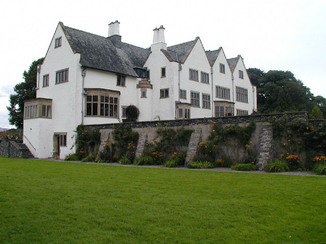
Blackwell (house), Bowness-on-Windermere
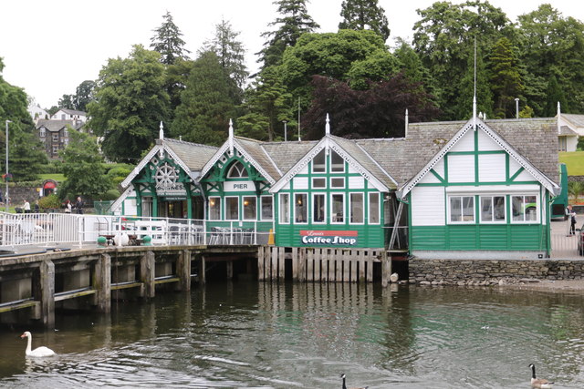
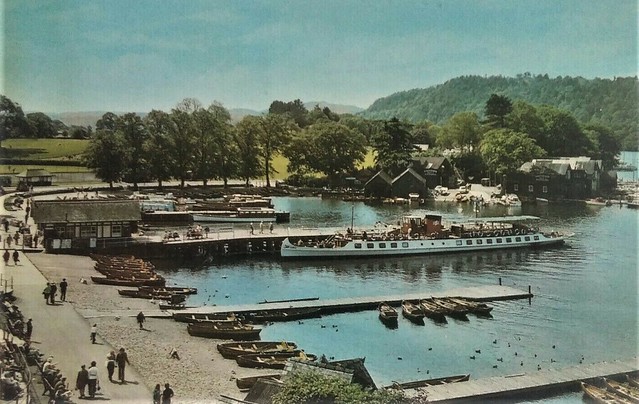
Bowness Pier
Bowness-on-Windermere, 1848