Topics > Cumbria > Kirkby Stephen
Kirkby Stephen
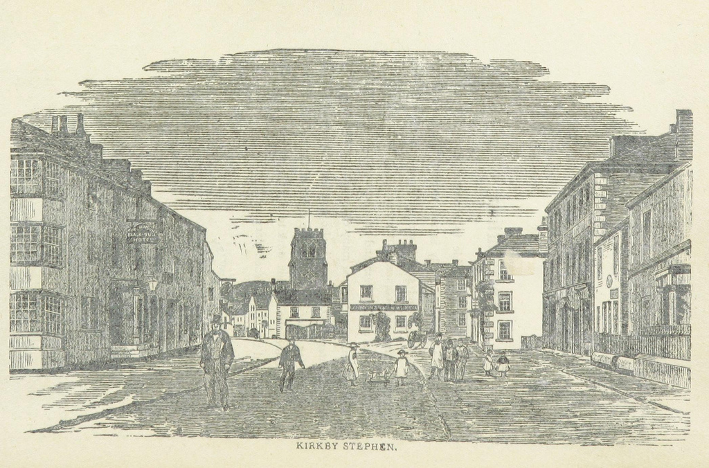
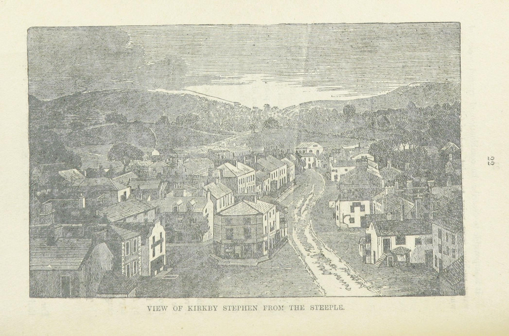
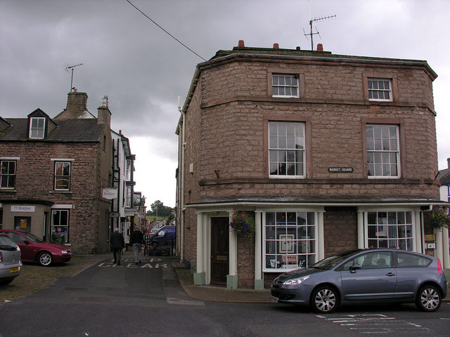
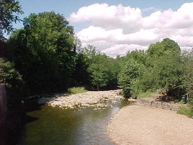
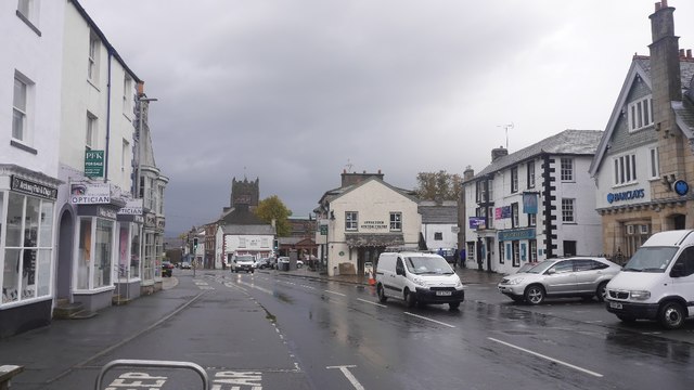
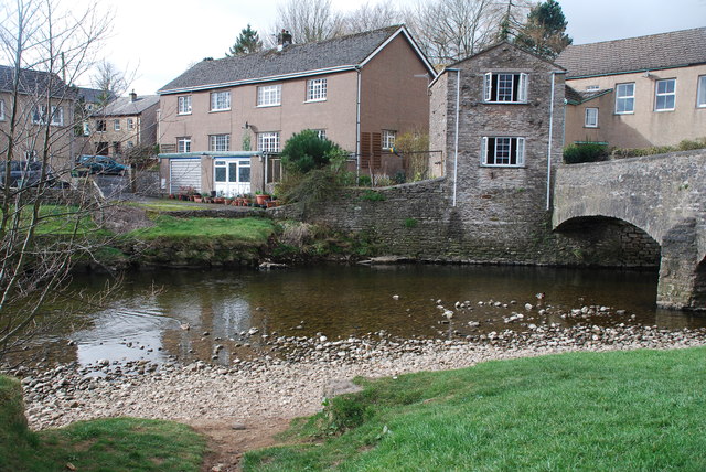
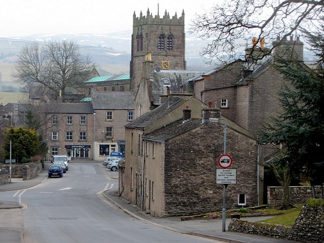
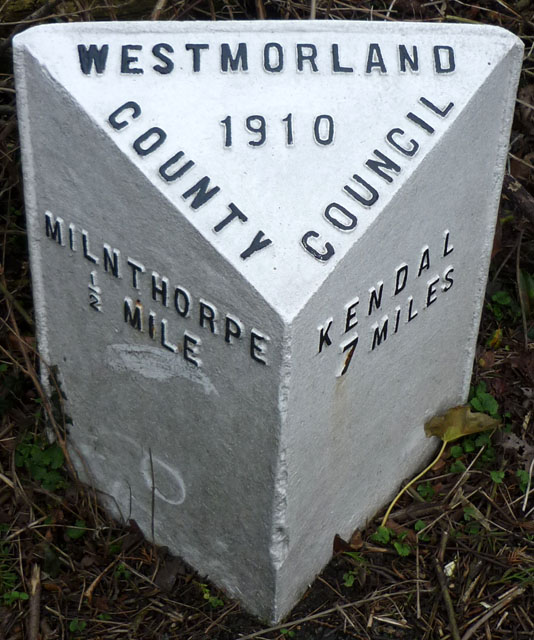
Kirkby Stephen is a civil parish and small market town in Cumbria, in North West England, historically it was part of Westmorland. The town is located on the A685, surrounded by sparsely populated hill country, and about 25 miles (40 km) from the nearest larger towns, Kendal and Penrith. The River Eden rises 6 miles (9.7 km) away in the peat bogs below Hugh Seat and passes by, almost unobserved, on the eastern edge of the town.
Kirkby Stephen has a parish council and is a centre for several smaller villages and parishes in the surrounding area, including Nateby, Ravenstonedale and Mallerstang. A community and council centre in the library, provides information and services on behalf of all the local councils (county, district and parish), and general and local information and facilities.
Town geography and history
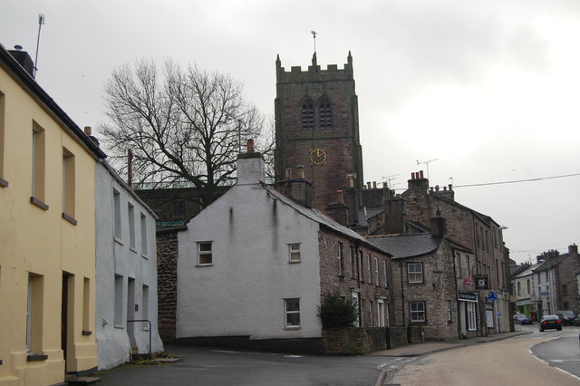
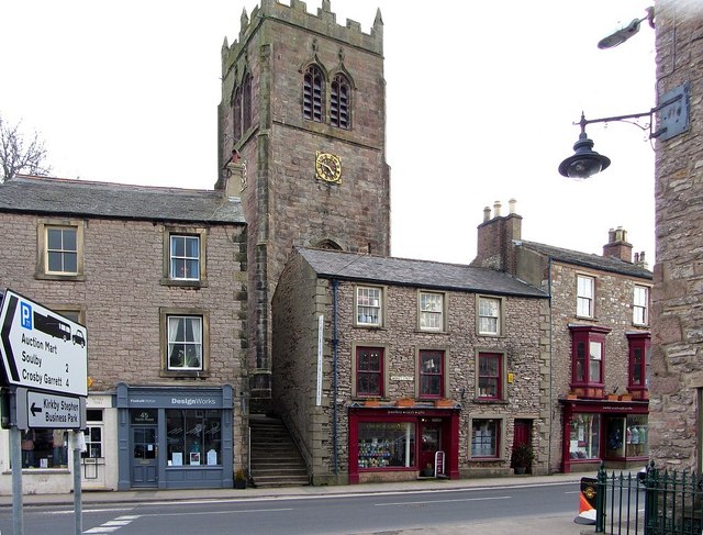
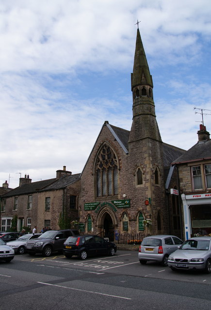
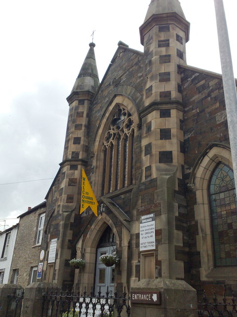
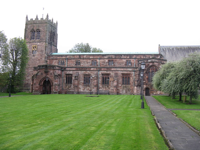
Parish church
Schools
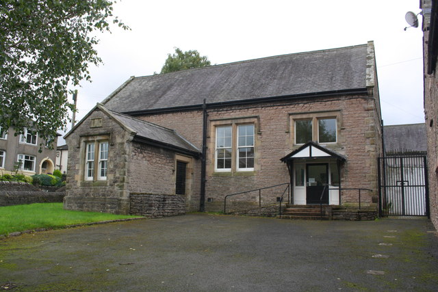
There are primary schools in Kirkby Stephen and in the neighbouring parishes of Brough and Ravenstonedale.
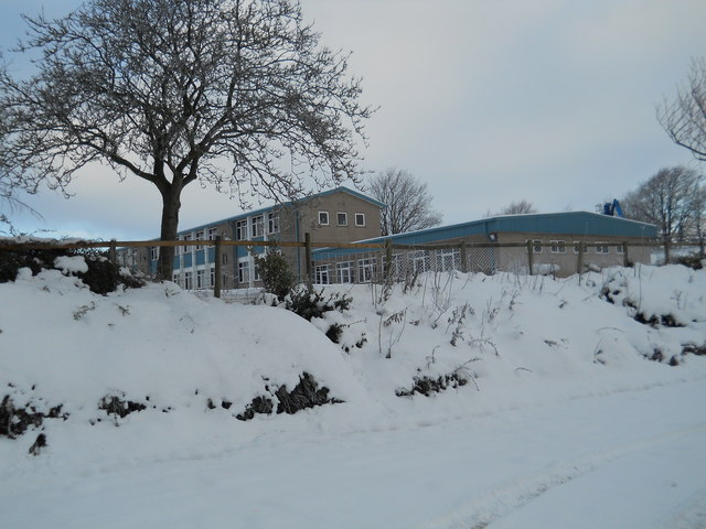
Secondary education for the town and surrounding area is provided by Kirkby Stephen Grammar School. This was founded in 1566 by Thomas Wharton, 1st Baron Wharton, under letters patent granted by Queen Elizabeth I. Although it has retained the old name "grammar school" its old buildings were replaced long ago, and it is now a comprehensive school (and Sports College), with approximately 410 pupils.
Within the grounds of the grammar school is an open-air swimming pool built in the 1960s for the school and local community which is open from May to August to members of the Kirkby Stephen and District Swimming Club, and to visitors to the area.
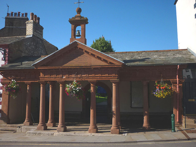
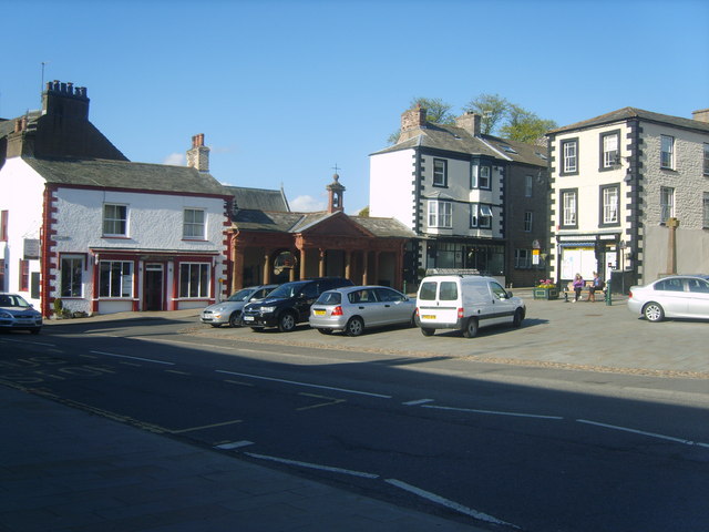
Market
In 1352-53 Roger de Clifford, Baron of Westmorland, obtained a charter from King Edward III, for a market and two yearly fairs to be held in the town. This was reaffirmed by a charter granted in 1605 to George, Earl of Cumberland, by King James I, for: "one market on Monday and two fairs yearly; one on the Wednesday, Thursday and Friday after Whitsuntide and the other on the two days next before the feast of St. Luke".
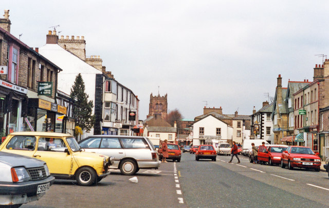
The Monday market, with livestock sales at the Mart in Faraday Road and stalls on Market Square, is an important event in the town and surrounding countryside. There were special celebrations to mark the 400th anniversary of the King James charter; but St Luke's Fair, or “Charter Day”, is celebrated every year at the end of October, beginning with the Charter being read at the “Charter Stone” in Market Street. The special "Tup sales", very important in this sheep rearing area, still take place at around this time each year.
Other facilities and events
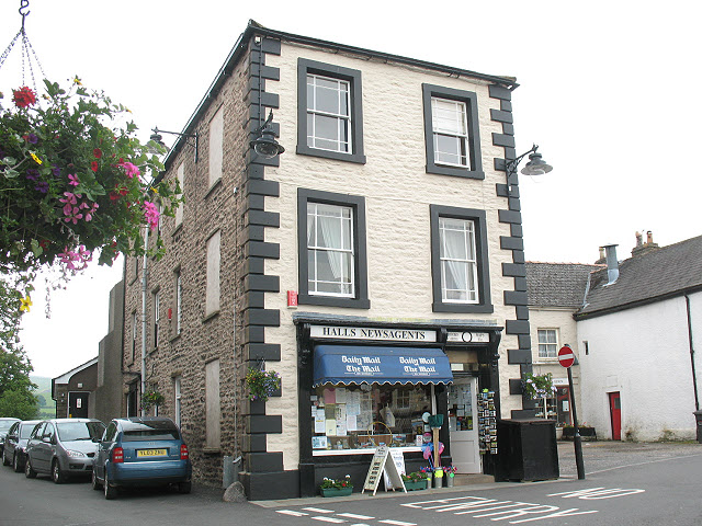
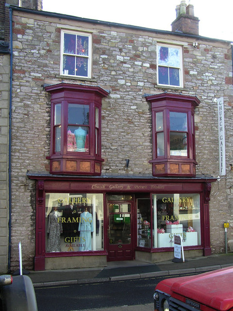
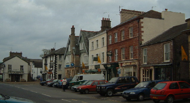
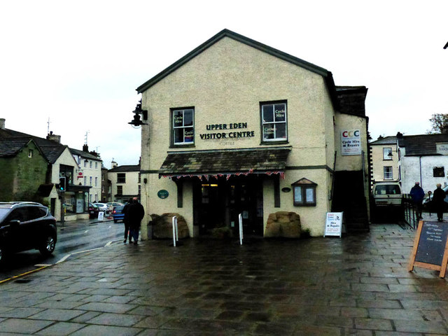
There is a good range of shops, several antique shops, restaurants, cafés, pubs and the Upper Eden Visitor Centre. The town has won several awards from Cumbria/Britain in Bloom.
Kirkby Stephen serves as a base for tourism in the Upper Eden Valley area and for walking tours of the Valley. It is on the line of the Coast to Coast Walk, devised by Alfred Wainwright, Each June there is the "Mallerstang Horseshoe and Nine Standards Yomp" which takes a strenuous route along the high ground along both sides of the neighbouring dale of Mallerstang, including Wild Boar Fell and the summit of nearby Nine Standards Rigg.
The surrounding countryside attracts walkers but the Kirkby Stephen Mountain Rescue Team sometimes has to assist those who are not fully prepared for harsh conditions on the fell tops.
Faraday connection
It is sometimes said that Faraday Road (parallel with High Street and Market Street) is named in honour of the scientist, Michael Faraday (1791–1867) but it is named after his uncle, Richard Faraday, who was a respected local tradesman. Richard's younger brother, James, was for some time the blacksmith in Outhgill, but his third child, Michael, was born soon after they had moved to London. The Faraday brothers moved from Clapham in the West Riding to the Kirkby Stephen area because the family were all members of the Sandemanian sect, and at that time there was locally one of the few Sandemanian communities with a chapel, which was in the courtyard behind what is now the Coffee.
Governance
An electoral ward in the same name exists. This ward stretches south to Aisgill with a total population taken at the 2011 Census of 2,580.
Scenic highlights
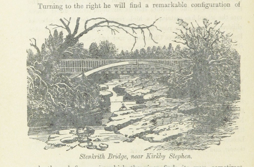
Stenkrith Park is south of the town on the B6259 road to Nateby. The river scenery here marks the change from limestone at the head of the Eden Valley in Mallerstang, to the red sandstone which is characteristic further along the Eden Valley. The main rock, from which most houses in Kirkby Stephen is built, is brockram, composed of fragments of limestone in a cement of red sandstone. The river at Stenkrith has carved this rock into many fantastic shapes, collectively known as the Devil's Grinding Mill or Devil's Hole. This spectacular natural scenery has been supplemented, in recent years, by three (human) additions.
The ‘Poetry Path has 12 stones which were carved by the artist Pip Hall, with poems by Meg Peacock, depicting a year in the life of a hill farmer. See www.edenbenchmarks.org.uk
Eden Benchmarks: Beside the river there is a sculpture by Laura White, entitled ‘Passage', one of the ten "Eden Benchmarks", a series of sculptures that have been placed at intervals along the River Eden from its source in Mallerstang to the Solway Firth.
The Millennium Bridge was opened in 2002, and provides pedestrian access from the park to a walk along the old south Durham railway track.
Among many other scenic features in the area are: Nine Standards Rigg, to the northeast, Pendragon Castle and Wild Boar Fell, to the south.
Unlike neighbouring Brough, there is no evidence of any Roman settlement, but there are many traces of even more ancient settlements in the area, including the remains of a large Iron Age earthwork or hill fort, "Croglam Castle", on the southeastern edge of the town.
Railways
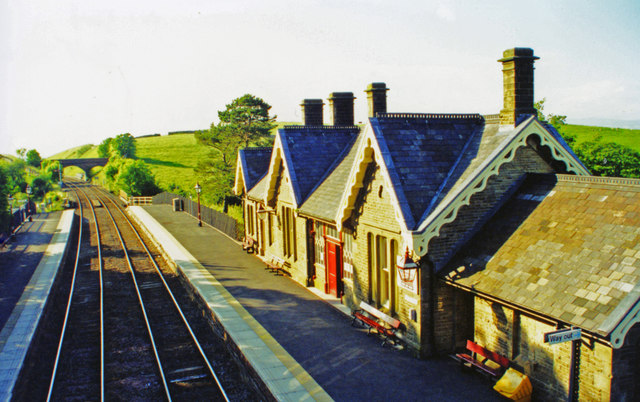
Kirkby Stephen West station, on the Settle-Carlisle Line, is located over south west of the town. This railway line kept to the high ground and avoided descending into the valleys wherever possible.
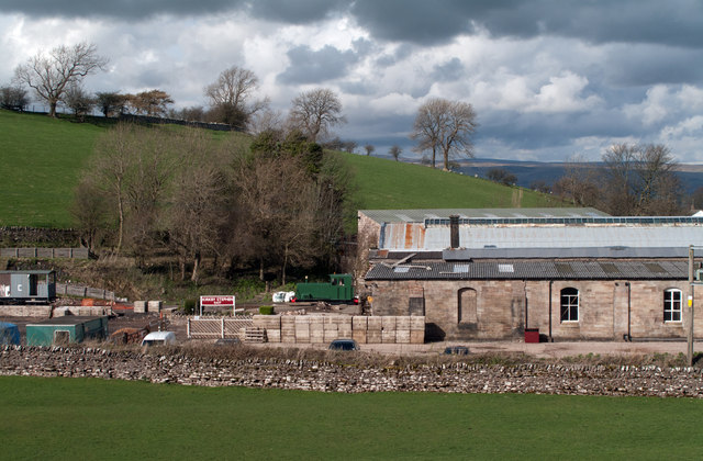
A second, older, railway station is also situated in the town. This is Kirkby Stephen East station, situated at the southern edge of the town. Originally a large junction of the South Durham & Lancashire Union Railway and the Eden Valley Railway, the station was re-opened by the Stainmore Railway Company in August 2011 as a heritage centre and operational railway representing the 1950s, and is open to visitors every weekend.
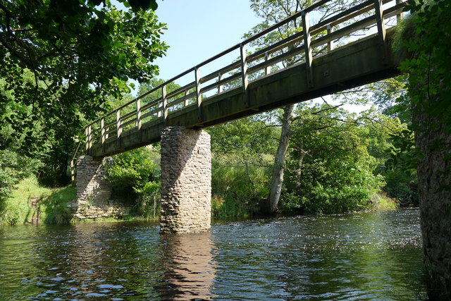
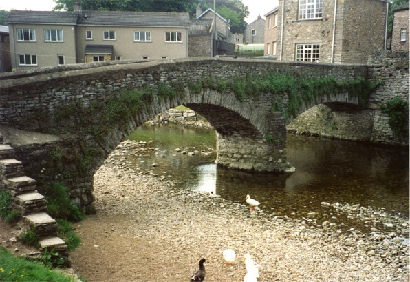
2012 Franks Bridge Kirkby Stephen.jpg|Frank's Bridge
Kirkby Stephen99.JPG|Kirkby Stephen from the path to Hartley
WaterfallKirkbyStephen.JPG|River Eden through Kirkby Stephen.
Location grid
Visit the page: Kirkby Stephen for references and further details. You can contribute to this article on Wikipedia.
Co-Curate Page
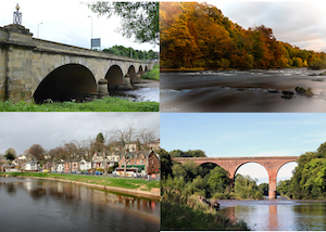
River Eden (Cumbria)
- Overview About the River Eden The River Eden is a major river in Cumbria, which discharges into the Solway Firth. The settlements along the river include Kirkby Stephen, Appleby-in-Westmorland, Bolton, Wetheral, …

Co-Curate Page
Kirkby Stephen Parish, 1848
- KIRKBY-STEPHEN (St. Stephen), a market-town and parish, in East ward and union, county of Westmorland; comprising the townships of Hartley, Kaber, Kirkby-Stephen, Nateby, Smardale, Waitby, Wharton, and Winton, and the …
Co-Curate Page
Historic Buildings and Monuments in Kirkby Stephen
- Listed buildings and scheduled monuments in Kirkby Stephen Civil Parish, Cumbria, from the National Heritage List for England[1]. Use the Search (below) if looking for a specific building / monument. …
Co-Curate Page
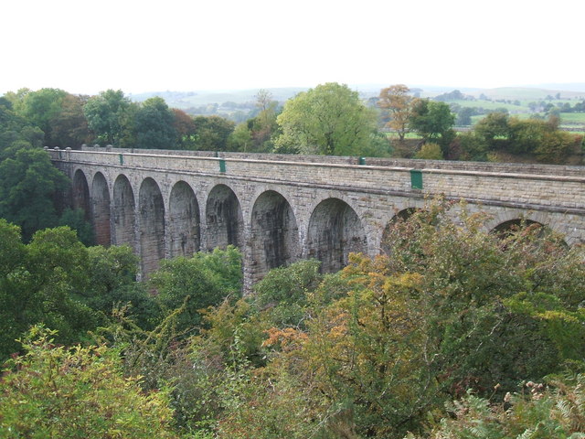
Podgill Viaduct
- Overview Map Street View Street View (top) Podgill Viaduct is a former railway viaduct over Ladthwaite Beck, located about ½ mile south-east of Kirkby Stephen and ½ mile south of …

from https://www.upperedenhistory.…
SANDEMANIAN CHAPEL - Faraday House, Arcade Royal
- ....It is recorded that on 9 May 1761, it was ‘agreed that Thos. Shepherd should purchase a barn at Kirkby Stephen and have it repaired for a convenient meeting house. …
Added by
Simon Cotterill

Co-Curate Page
River Eden (Cumbria)
- Overview About the River Eden The River Eden is a major river in Cumbria, which discharges into the Solway Firth. The settlements along the river include Kirkby Stephen, Appleby-in-Westmorland, Bolton, Wetheral, …
Co-Curate Page
Kirkby Stephen Parish, 1848
- KIRKBY-STEPHEN (St. Stephen), a market-town and parish, in East ward and union, county of Westmorland; comprising the townships of Hartley, Kaber, Kirkby-Stephen, Nateby, Smardale, Waitby, Wharton, and Winton, and the …
Co-Curate Page
Historic Buildings and Monuments in Kirkby Stephen
- Listed buildings and scheduled monuments in Kirkby Stephen Civil Parish, Cumbria, from the National Heritage List for England[1]. Use the Search (below) if looking for a specific building / monument. …
Co-Curate Page
Podgill Viaduct
- Overview Map Street View Street View (top) Podgill Viaduct is a former railway viaduct over Ladthwaite Beck, located about ½ mile south-east of Kirkby Stephen and ½ mile south of …
from https://www.upperedenhistory.…
SANDEMANIAN CHAPEL - Faraday House, Arcade Royal
- ....It is recorded that on 9 May 1761, it was ‘agreed that Thos. Shepherd should purchase a barn at Kirkby Stephen and have it repaired for a convenient meeting house. …
Added by
Simon Cotterill

Cumbria
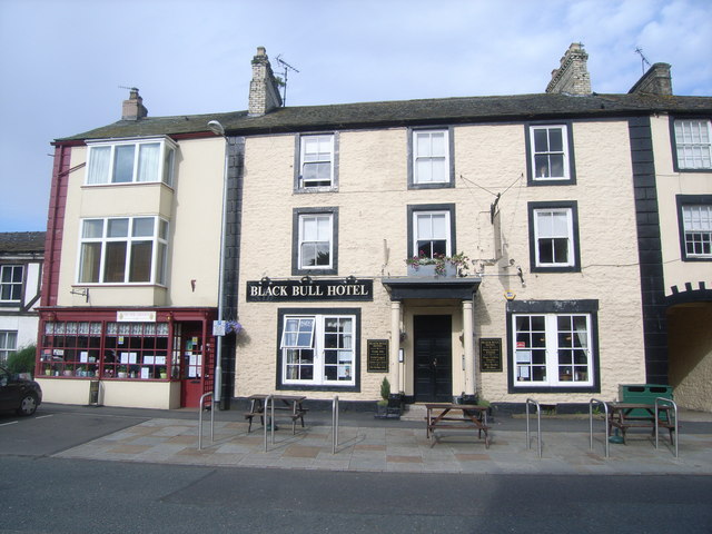
Black Bull Hotel, Kirkby Stephen
Church of St Stephen, Kirkby Stephen
Croglam Castle (Iron Age site)
Frank's Bridge, Kirkby Stephen

Kirkby Stephen at War

Kirkby Stephen Conservation Area
Kirkby Stephen East Station
Kirkby Stephen Grammar School
Kirkby Stephen Primary School
Kirkby Stephen Station
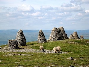
Nine Standards Rigg
Old Grammar School, Kirkby Stephen
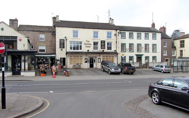
Pennine Inn, Kirkby Stephen
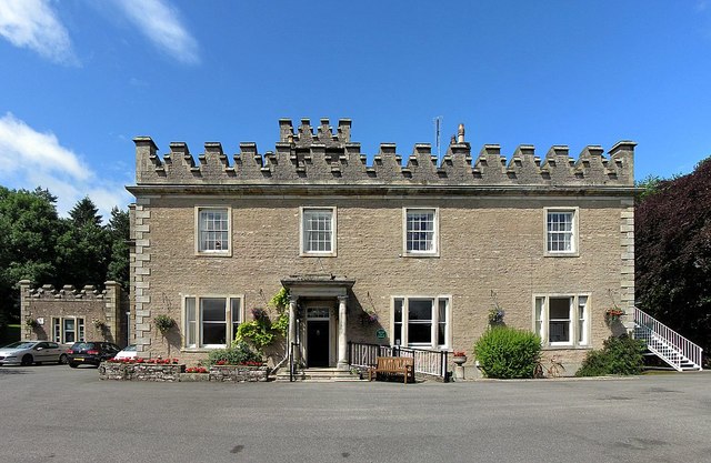
Stobars Hall, Kirkby Stephen
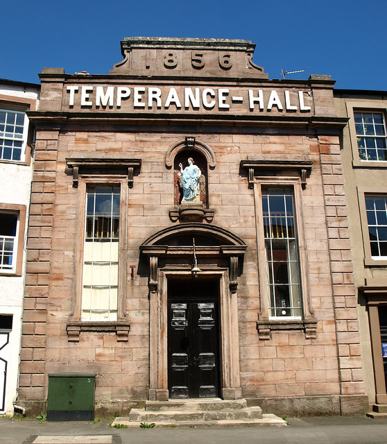
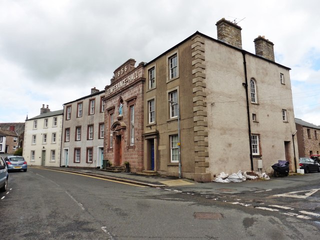
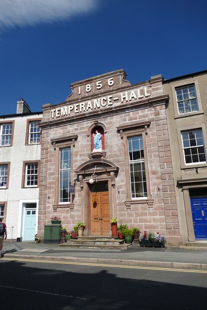
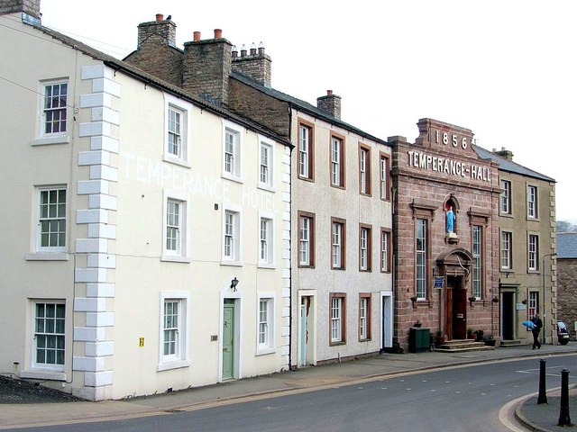
Temperance Hall, Kirkby Stephen
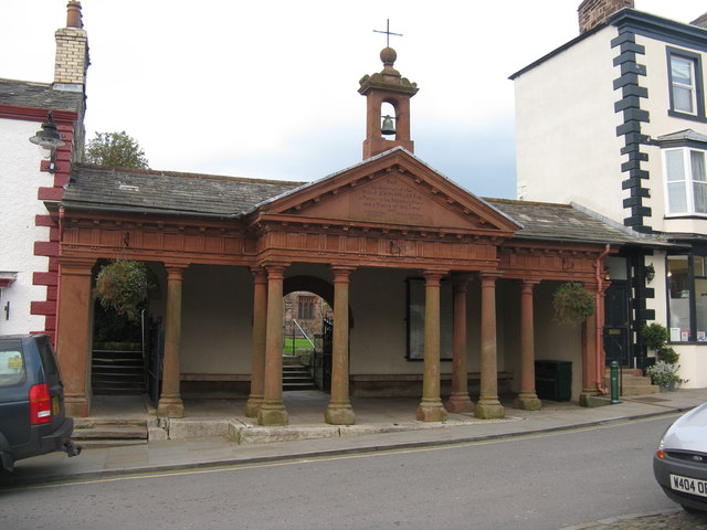
The Cloisters, Kirkby Stephen
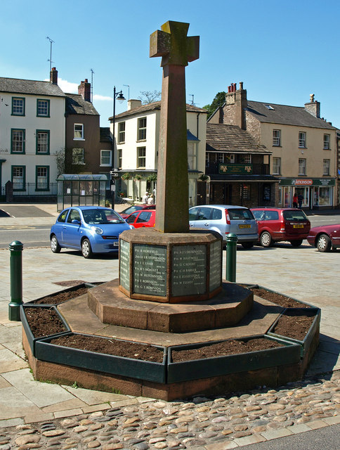
War Memorial, Kirkby Stephen

Wikipedia: Kirkby Stephen
Grid ref: NY7750708662
Unitary Auth: Westmorland & Furness


