Topics > Newton Arlosh
Newton Arlosh
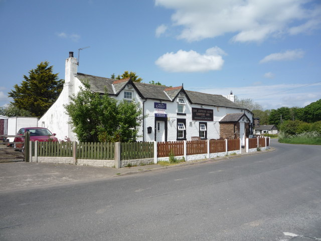
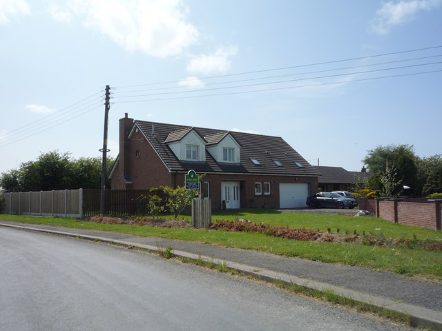
Newton Arlosh is a village in Cumbria located about 12 miles west of Carlisle, by the Solway Firth. The Church of St John the Evangelist here dates from the early 14th century. The village was founded in the 14th century when much of the village of Skinburness was swept away by violent storms and the inhabitants relocated to Newton Arlosh, meaning 'new town on the marsh'.[1] Newton Arlosh obtained market charter 1304, replacing the charter previously granted to Skinburness.[2] The village is part of Holme East Waver Civil Parish.
Newton Arlosh is a village in the civil parish of Holme East Waver in Cumbria, United Kingdom.
Landmarks
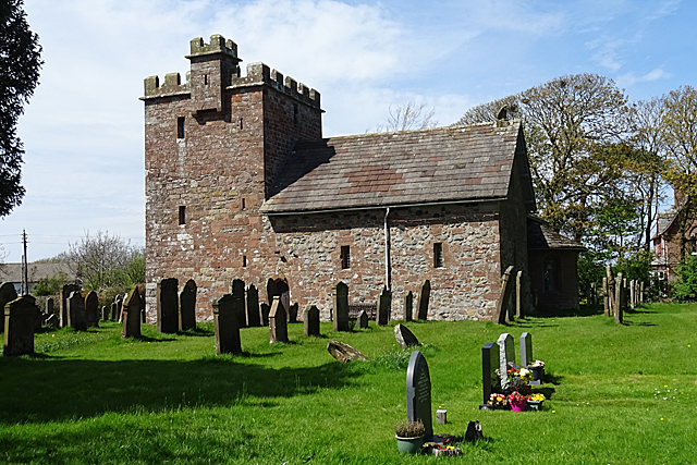
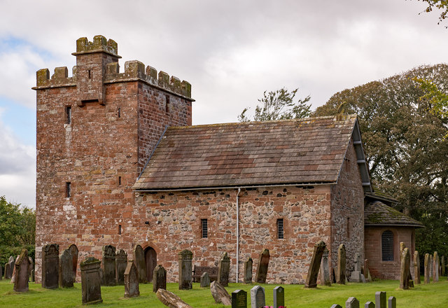
St. John the Evangelist's Church is one of the most complete fortified churches in the area. In ruins from the Dissolution until the 19th century, it was repaired and extended in 1844 by Sara Losh. It has been designated by English Heritage as a Grade I listed building.
Nearby settlements
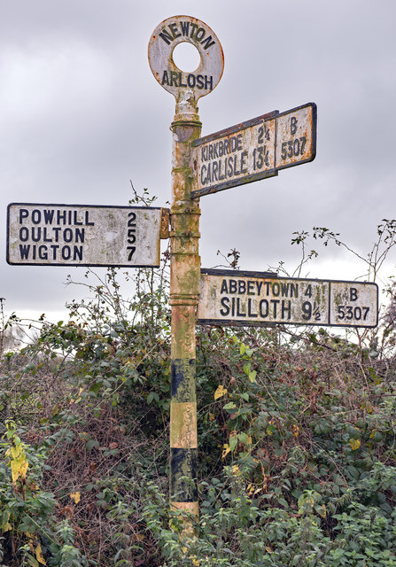
Nearby settlements include the city of Carlisle, Cumbria, the villages of Kirkbride, Cumbria and Abbeytown and the hamlet of Raby.
Other features
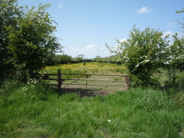
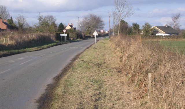
It is on the B5307 road and is near the channel of the River Waver. There is also Kirkbride Airfield nearby.
Text from Wikipedia, available under the Creative Commons Attribution-ShareAlike License (accessed: 27/02/2019).
Visit the page: Newton Arlosh for references and further details. You can contribute to this article on Wikipedia.
Visit the page: Newton Arlosh for references and further details. You can contribute to this article on Wikipedia.
from https://www.visitcumbria.com/…
Newton Arlosh
- "Newton Arlosh, or Longnewton as it is sometimes called, is a long straggling village on the edge of the Solway. It owes its origin to the misfortune of Skinburness, when …
Added by
Edmund Anon

from https://www.cumbriacountyhist…
Holme East Waver
- "Township in Holme Cultram parish, Allerdale below Derwent ward, Cumberland, including village of Newton Arlosh (or Long Newton)....."
Added by
Edmund Anon

from https://www.visitcumbria.com/…
Newton Arlosh
- "Newton Arlosh, or Longnewton as it is sometimes called, is a long straggling village on the edge of the Solway. It owes its origin to the misfortune of Skinburness, when …
Added by
Edmund Anon
from https://www.cumbriacountyhist…
Holme East Waver
- "Township in Holme Cultram parish, Allerdale below Derwent ward, Cumberland, including village of Newton Arlosh (or Long Newton)....."
Added by
Edmund Anon

County: Cumbria


