Topics > Rockcliffe
Rockcliffe
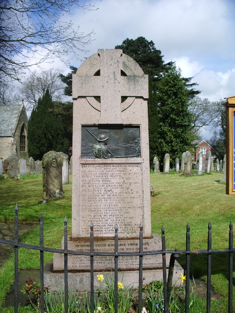
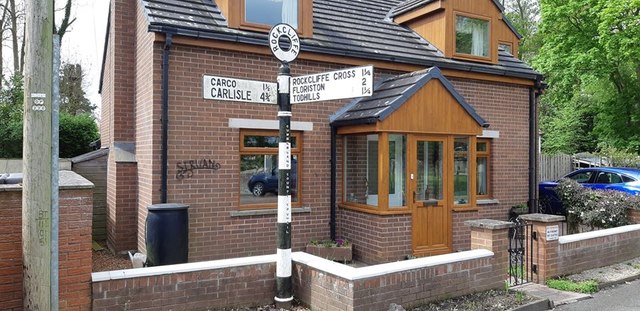
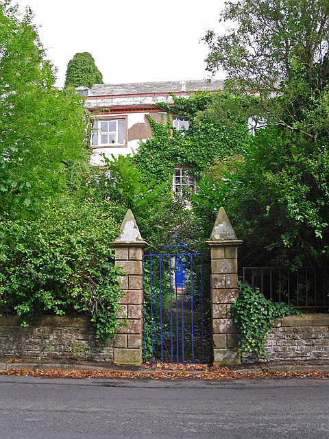
Rockcliffe is a village and civil parish in the City of Carlisle district of Cumbria, England. Part of the parish is a marshy peninsula between the mouths of the rivers Esk and Eden. The parish includes the settlements of Rockcliffe, Rockcliffe Cross, Floristonrigg, Todhills, Low Harker and Harker.
Rockcliffe formerly had a railway station, on the Caledonian Railway Main Line, that closed in 1965. Another station was located nearby at Floriston that closed in 1950.
Place-name meaning
Rockcliffe does not mean 'cliff by rocks' or 'rocky cliff' as many might think. The name means 'red cliff', implying a sandstone cliff-face. The name is from Old Norse rauðr meaning "red" and Old English clif for "cliff", similar to Radcliffe in Greater Manchester.
Governance
Rockcliffe is the largest parish in the electoral ward of Longtown & Rockcliffe. The ward covers the two parishes and the area in between. The total ward population at the 2011 Census was 4,123.
Visit the page: Rockcliffe, Cumbria for references and further details. You can contribute to this article on Wikipedia.
from Geograph (geograph)
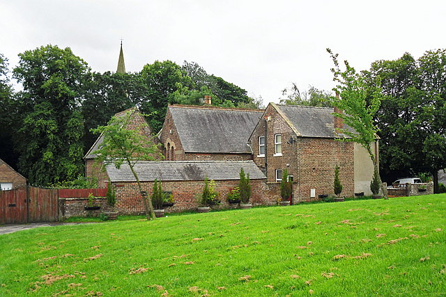
The Parish Church of St Mary the Virgin, Rockcliffe and Cargo
Pinned by Edmund Anon
Co-Curate Page
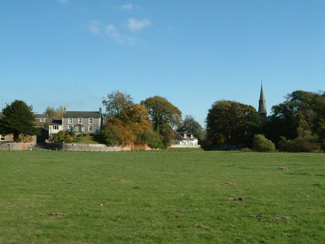
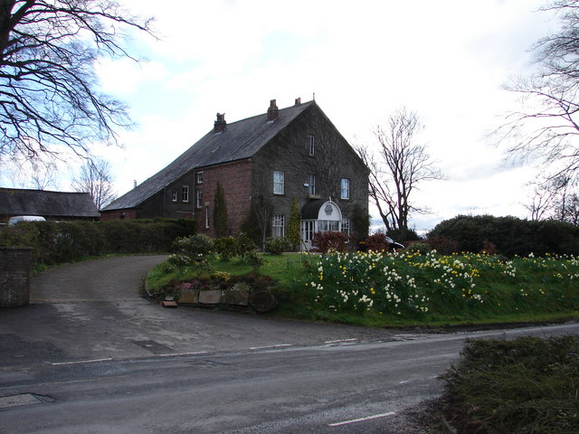
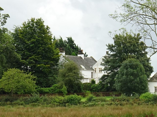
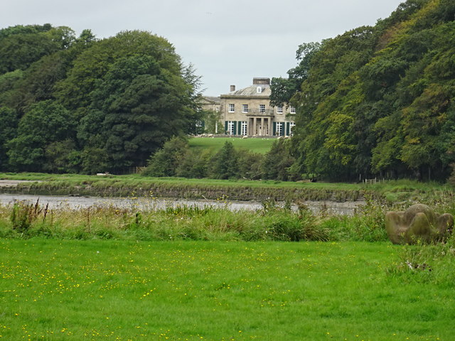
Castletown House
- Overview Map Street View The Castletown Estate and farm is located on the north banks of the River Eden about ½ mile west of the village of Rockcliffe in Cumbria. …

from Geograph (geograph)
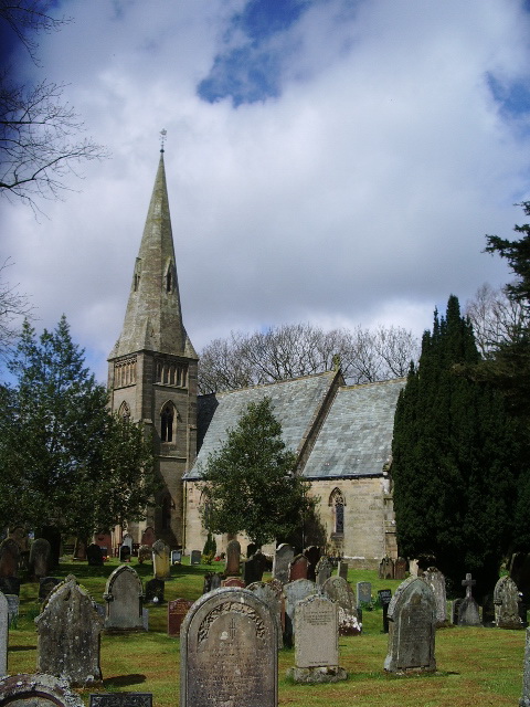
The Parish Church of St Mary the Virgin, Rockcliffe and Cargo
Pinned by Edmund Anon