Topics > Maryport
Maryport
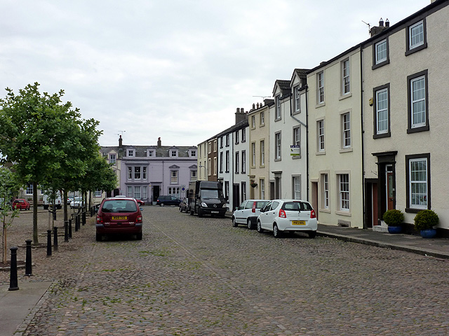
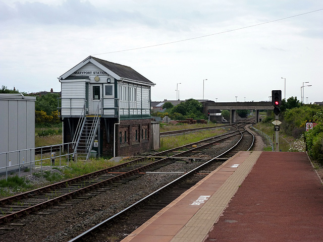
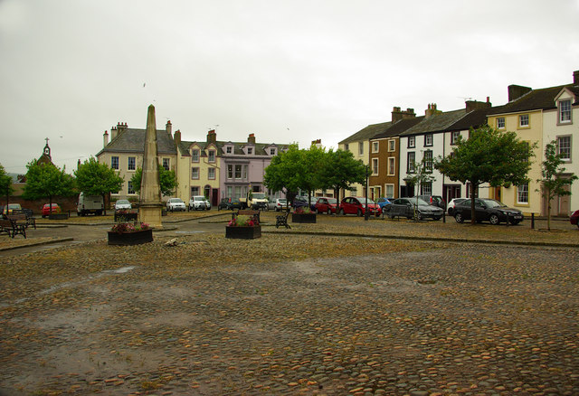
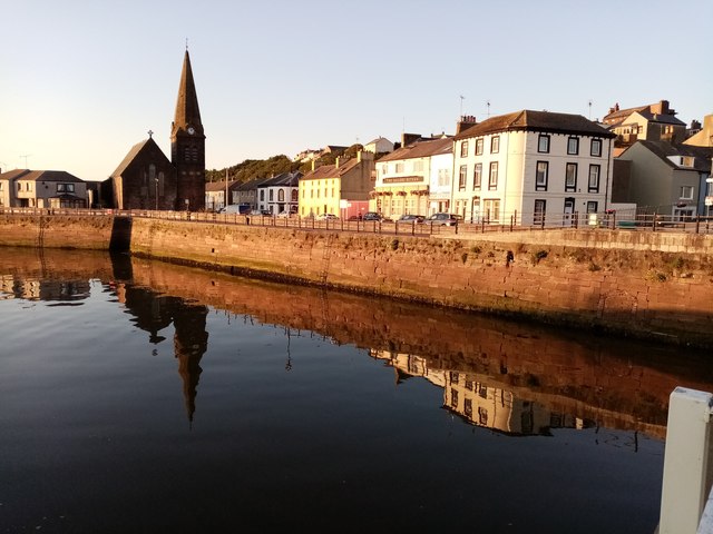
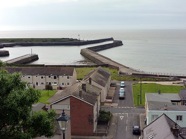
Maryport is a town and civil parish in the Allerdale borough of Cumbria, England. Historically in Cumberland, it is located on the A596 road 6 miles (10 kilometres) north of Workington, and is the southernmost town on the Solway Firth. The town of Silloth is to the north on the B5300 coast road, which passes through the villages of Allonby, Mawbray, Beckfoot, and Blitterlees. The county town of Carlisle lies to the 26 mi (42 km) north-east. Maryport railway station is on the Cumbrian Coast Line. Maryport lies at the northern end of the former Cumberland Coalfield.
History
Roman and medieval times
The town was established around AD 122 as one of several Roman localities called Alauna. It was a command and supply base for the coastal defences at the western extremity of Hadrian's Wall. The town contains substantial remains of the Roman fort, which was the last in a series that stretched southwards along the coast from the wall to prevent it being avoided by crossing the Solway Firth. Geomagnetic surveys have revealed a large Roman town surrounding the fort. An archaeological dig discovered evidence of an earlier, larger fort next to, and partially under the present remains. After the Roman withdrawal from Britain the town was reduced in size and importance.
On Castle Hill are the earthworks and buried remains of a 12th-century motte-and-bailey castle. On the summit are the foundations of a World War II gun emplacement.
To the north are the ruins of Netherhall Estate. The only remains of this once grand manor are stables and a 14th-century Peel Tower, formerly part of a large house of later date which was demolished in 1979 following a fire.
Georgian times
For many years the town was named Ellenfoot but the name was changed by Humphrey Senhouse as he began developing the town as a port, following the example of Whitehaven. In 1749 an Act of Parliament was passed to allow the creation of the present town. Humphrey Senhouse named the new town after his wife Mary. The Senhouse family were landowners in the area and responsible for the development of the town and excavation of its Roman past. The family also had interests in the West Indies. In 1770, Humphrey Senhouse's son, William, was appointed Surveyor General of Customs in Barbados where he purchased a sugar plantation and managed another for Sir James Lowther of Whitehaven. William's brother, Joseph, had a coffee plantation in Dominica. Both men were considerable slave-owners.
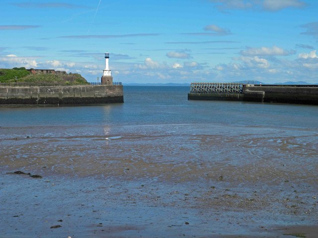
It was during this period that the town's lighthouse was built.
Victorian times
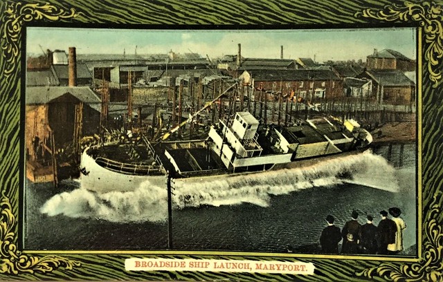
The town quickly developed as an industrial centre throughout the 19th century. An iron foundry opened and the port developed as did shipyards, such as Wood's yard and Ritson's yard, which was famous for launching ships broadside into the River Ellen because it was not wide enough to allow ships to be launched the usual way. By this time, coal mines were operating all around the town, at Ellenborough, Dearham, Broughton Moor, Gilcrux and Birkby.
The Maryport and Carlisle Railway, opened in the 1840s, with George Stephenson as its engineer, made the transport of coal much easier. Large new mines were sunk in the Aspatria area and almost all their production passed through the port. In 1846, 213,152 tons of coal were shipped from Maryport and by 1857 this had risen to more than 340,000 tons.
Much of the coal produced in the area was turned into coke for the local iron and steel industry. By 1890, the Allerdale Coal Company had thirty Beehive coke ovens working on its site at Buckhill, Broughton Moor.
In 1874, the owners announced a cut of 10% in the miners' wages. A strike began in the Aspatria pits and then the owners made a further cut of 15%. By December, the strike had spread to the whole area with 2,000 men involved. The strike lasted until March 1875. There was violence when some 'blacklegs' were assaulted and many colliers left the area to seek work elsewhere.
In 1894, John Osmaston who operated the Dearham Colliery became insolvent and the bank took over his pits. Two groups of local miners formed co-operatives and leased the mines at Crosshow and Townhead from the Lowthers. They found it impossible to compete with the other wealthy coal-owners in a tight market and also had serious problems with drainage. This unique experiment ended in 1903 when both companies went into liquidation.
Modern times
During the early years of the 20th century, trade in the docks remained steady but was badly affected by the 1926 General Strike. Then, in 1927, a new deep-water dock was opened in Workington. Previously, the Workington Iron and Steel works had imported much of their raw material through Maryport but all of this trade was immediately transferred to the new facility. The local Solway Blast Furnaces also closed.
Maryport became a ghost town. The government declared West Cumberland a ‘Special Area' but, by 1933, 57.3% of the town's insured workforce was unemployed. 1,684 men were out of work. Maryport was “for the most part, living on public funds” In 1936 twenty unemployed men marched from Maryport to join the Jarrow Crusade to London. Known as the Maryport Marchers, they were joined by two marchers from Cleator Moor and two marchers from Frizington. The Maryport Marchers Council organised this.
Despite a minor boom during the Second World War, when coal from North East England was diverted to the port, Maryport never recovered. The docks were closed to cargo ships in the 1960s. The last deep pit in the area, at Risehow, closed in 1966 and open-cast mining ended in 2000.
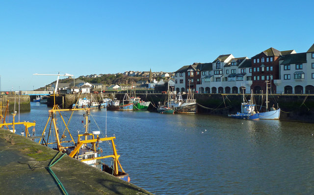
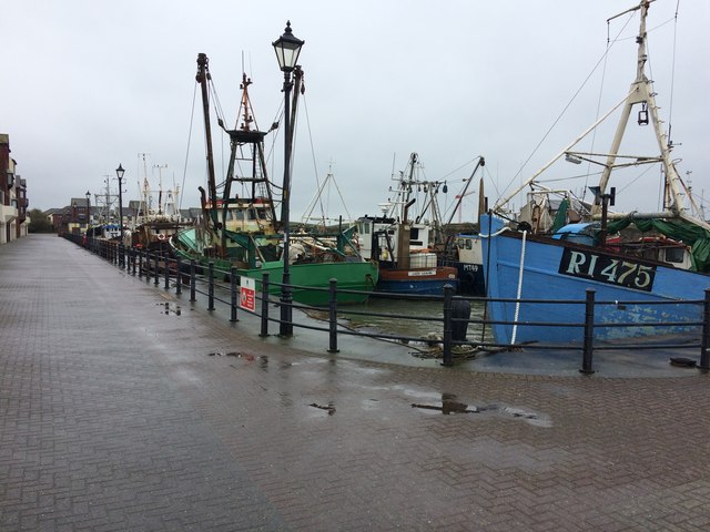
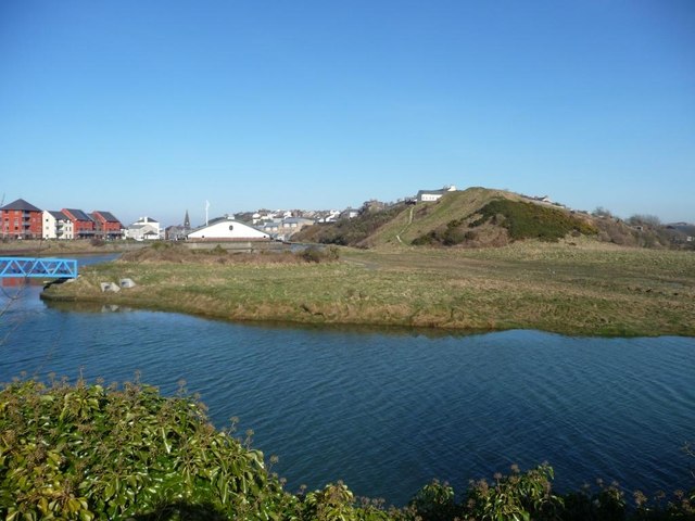
Today, after a series of major regeneration projects such as the yacht marina in the local harbour, prospects for the town are starting to look better, it is expected that tourism will play a major role in the future of the town.
Closure of the Netherhall swimming pool, in October 2018 it was announced that the Netherhall School community swimming pool is to close.
Politics
The town historically has been a mainly Labour voting area, however over recent years this has become under threat by other fringe parties.
The town is in the parliamentary constituency of Workington, Sue Hayman is the Member of parliament.
Economy
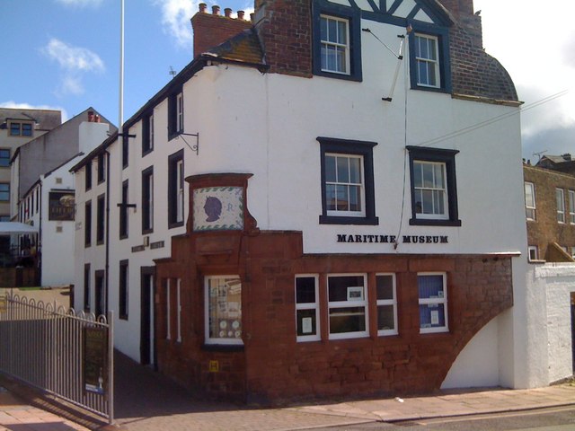
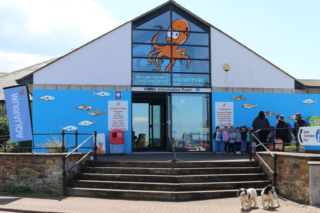
The economy of the area and the emergence of the industrial capacity of the town itself developed largely because of mining and sea trade, but these industries have since declined and the town now relies on tourism as the basis of its economy. There is an aquarium, a maritime museum and a Roman museum. The last houses numerous Roman artefacts, most notably a series of altars to Jupiter Optimus Maximus, which were excavated in the vicinity of the Roman fort. In July 2008, a new tourism venue, the Wave Centre, opened its doors. The Wave Centre is a theatre and conference facility, an interactive heritage exhibition on the local history of Maryport, the Tourist Information Centre for Maryport and a gift shop and bistro.
The town has two industrial estates, the Glasson Industrial Estate and the Solway Industrial Estate, which are home to many small local businesses. It was formerly home to a factory belonging to the Bata company this closed in the early 1980's.
Culture
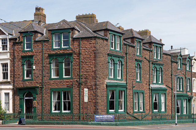
The town is a major name on the blues music scene, holding the popular "Maryport Blues Festival" every summer. This has previously attracted names such as Jools Holland, Dionne Warwick, Elkie Brooks, Buddy Guy, Jethro Tull, Van Morrison, Robert Cray and Chuck Berry.
The three-day event usually takes place on the last weekend of July, attracting both local and international artists. The 2018 Maryport Blues Festival was cancelled.
The town has a Scout Group (2nd Maryport) that has been in the town for over 70 years and incorporates most sections within the Scouting Movement. The group was visited by the Bishop of Carlisle to mark the centenary of Scouting in 2008.
Maryport Golf Club was formed on 21 January 1905 and is now a well established 18-hole course.
Education
Maryport has five local primary schools, and one secondary school, Netherhall School.
Notable people
Notable residents of Maryport, past and present, include:
- Fletcher Christian
- Douglas Clark, rugby league player,
- Jack Connor, footballer,
- Kyle Dempsey, footballer
- Mark Heron, musician,
- Thomas Henry Ismay
- Dick Huddart, rugby league player,
- Simon Lawson, paralympic athlete,
- Ricky Lightfoot, world champion trail runner,
- James Lomas, rugby league player,
- Dave McCracken, songwriter, music producer, programmer, mixer and remixer,
- Seán Milroy, Irish revolutionary and politician,
- Glenn Murray, footballer,
- Ike Southward, rugby league player,
- Edward Benn Smith, recipient of the Victoria Cross,
- Tom Smith, footballer,
- George Tosh, engineer and metallurgist.

from Geograph (geograph)
The Sailors Return, King Street, Maryport - June 2017
Pinned by Simon Cotterill
from Geograph (geograph)
Site of "White Swan" pub, Nelson Street, Maryport - October 2017
Pinned by Simon Cotterill
from Geograph (geograph)
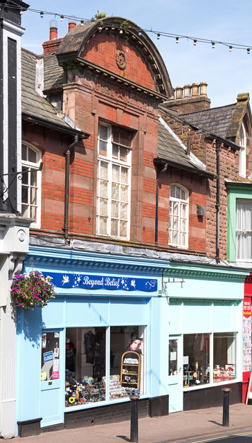
Former "Empire Theatre", Stenhouse Street, Maryport - June 2017
Pinned by Simon Cotterill
from Geograph (geograph)
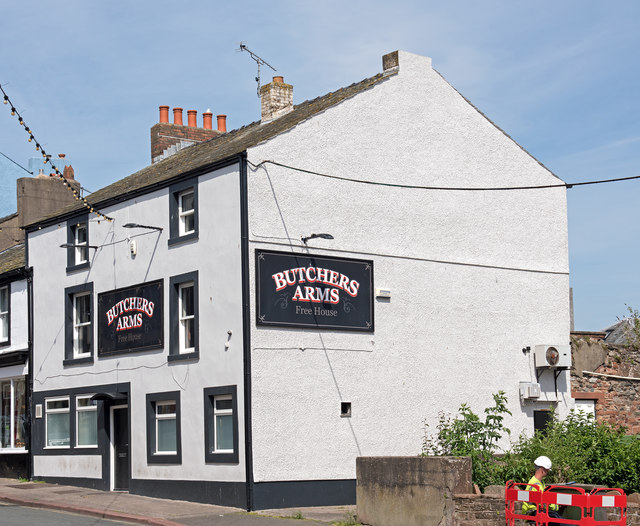
Butchers Arms, Crosby Street, Maryport - June 2017
Pinned by Simon Cotterill

Co-Curate Page
Maryport, 1848
- MARYPORT, a chapelry, market-town, and seaport, in the parish of Cross-Cannonby, union of Cockermouth, Allerdale ward below Derwent, W. division of Cumberland, 30 miles (S.W. by W.) from Carlisle, and …
from Flickr (flickr)
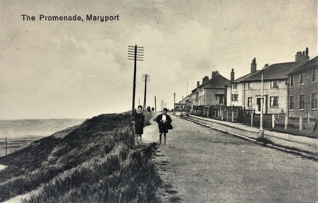
1940s Vintage Real Photograph Postcard of The Promenade Maryport Cumbria, Boys
Pinned by Peter Smith
from Flickr (flickr)
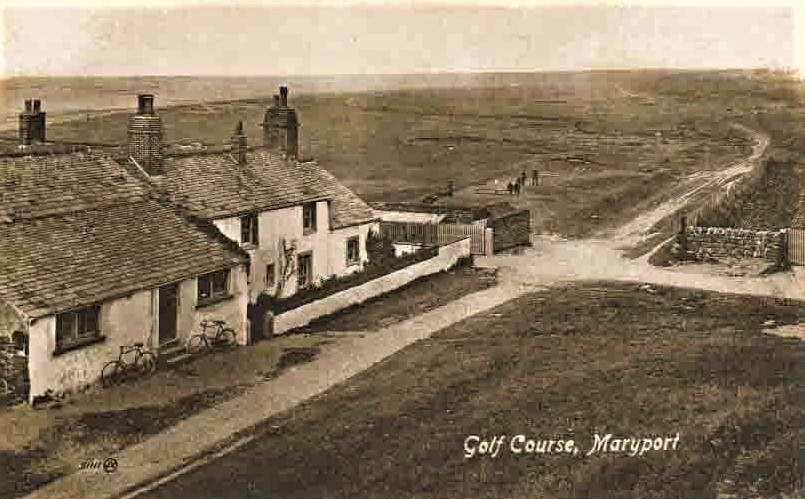
ANTIQUE POSTCARD . THE GOLF COURSE . MARYPORT . CUMBERLAND . c1905
Pinned by Peter Smith
from Flickr (flickr)
RP 1912 MARYPORT - Broadside Ship Launch Maryport postmark Maryport Cumbria
Pinned by Peter Smith
from Flickr (flickr)
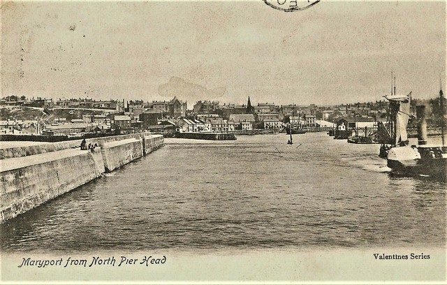
Vintage Edwardian Postcard, Maryport from the North Pier Head.
Pinned by Peter Smith
Co-Curate Page
Historic Buildings and Monuments in Maryport
- Listed buildings and scheduled monuments in Maryport, Cumbria, from the National Heritage List for England[1]. Use the Search (below) if looking for a specific building / monument. Structure List No. …
from https://www.sankeyphotoarchiv…
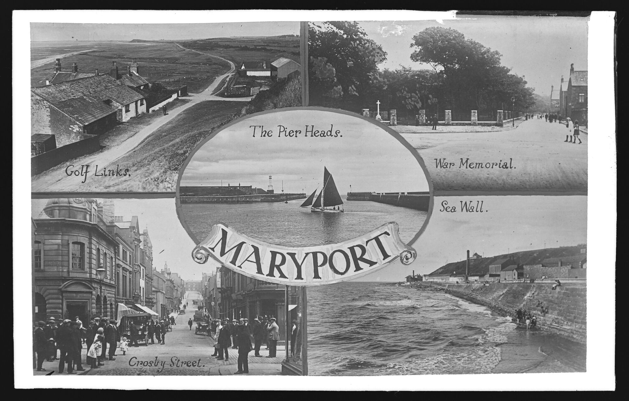
Postcard Maryport (1922-1926)
- A five-image postcard of Maryport. Image from the Sankey Family Photograph Collection (c/o Cumbria Archives), available under a Creative Commons Attribution-NonCommercial 4.0 International (CC BY-NC 4.0) licence. Ref. D420, BDB …
Added by
Pat Thomson

from https://www.sankeyphotoarchiv…
South Quay, Maryport
- Postcard, sent 1935. Image from the Sankey Family Photograph Collection (c/o Cumbria Archives), available under a Creative Commons Attribution-NonCommercial 4.0 International (CC BY-NC 4.0) licence. Ref. id 900679. Sankey Family …
Added by
Pat Thomson
from https://www.sankeyphotoarchiv…
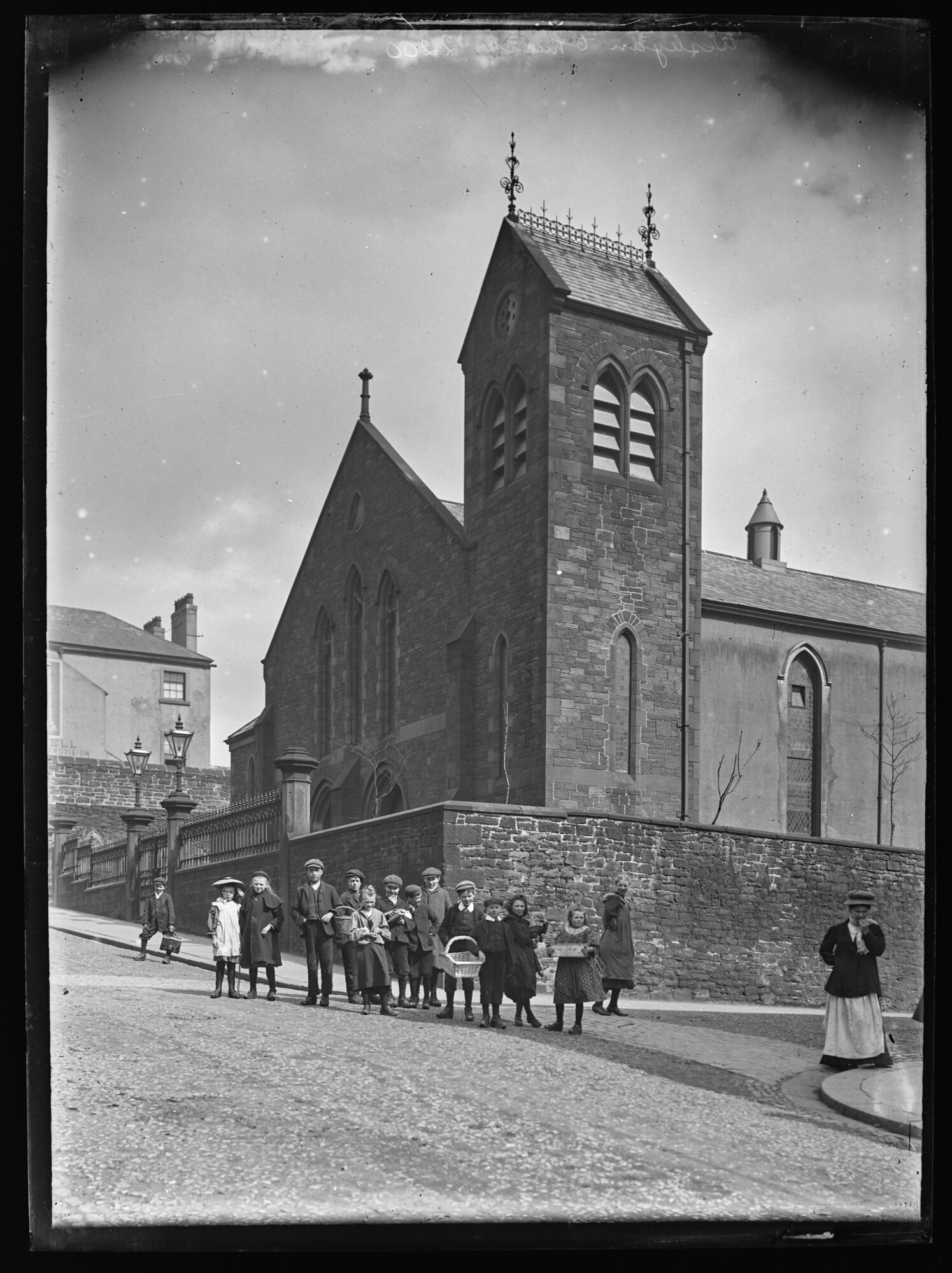
Presbyterian Church, Maryport - 1910s
- Portrait view uphill to junction showing church with pitched roof and square tower alongside behind a high wall. Presbyterian Church on the corner of Crosby Street and Kirkby Street opposite …
Added by
Pat Thomson

from Geograph (geograph)
The Sailors Return, King Street, Maryport - June 2017
Pinned by Simon Cotterill
from Geograph (geograph)
Site of "White Swan" pub, Nelson Street, Maryport - October 2017
Pinned by Simon Cotterill
from Geograph (geograph)
Former "Empire Theatre", Stenhouse Street, Maryport - June 2017
Pinned by Simon Cotterill
from Geograph (geograph)
Butchers Arms, Crosby Street, Maryport - June 2017
Pinned by Simon Cotterill
Co-Curate Page
Maryport, 1848
- MARYPORT, a chapelry, market-town, and seaport, in the parish of Cross-Cannonby, union of Cockermouth, Allerdale ward below Derwent, W. division of Cumberland, 30 miles (S.W. by W.) from Carlisle, and …
from Flickr (flickr)
1940s Vintage Real Photograph Postcard of The Promenade Maryport Cumbria, Boys
Pinned by Peter Smith
from Flickr (flickr)
ANTIQUE POSTCARD . THE GOLF COURSE . MARYPORT . CUMBERLAND . c1905
Pinned by Peter Smith
from Flickr (flickr)
RP 1912 MARYPORT - Broadside Ship Launch Maryport postmark Maryport Cumbria
Pinned by Peter Smith
from Flickr (flickr)
Vintage Edwardian Postcard, Maryport from the North Pier Head.
Pinned by Peter Smith
Co-Curate Page
Historic Buildings and Monuments in Maryport
- Listed buildings and scheduled monuments in Maryport, Cumbria, from the National Heritage List for England[1]. Use the Search (below) if looking for a specific building / monument. Structure List No. …
from https://www.sankeyphotoarchiv…
Postcard Maryport (1922-1926)
- A five-image postcard of Maryport. Image from the Sankey Family Photograph Collection (c/o Cumbria Archives), available under a Creative Commons Attribution-NonCommercial 4.0 International (CC BY-NC 4.0) licence. Ref. D420, BDB …
Added by
Pat Thomson
from https://www.sankeyphotoarchiv…
South Quay, Maryport
- Postcard, sent 1935. Image from the Sankey Family Photograph Collection (c/o Cumbria Archives), available under a Creative Commons Attribution-NonCommercial 4.0 International (CC BY-NC 4.0) licence. Ref. id 900679. Sankey Family …
Added by
Pat Thomson
from https://www.sankeyphotoarchiv…
Presbyterian Church, Maryport - 1910s
- Portrait view uphill to junction showing church with pitched roof and square tower alongside behind a high wall. Presbyterian Church on the corner of Crosby Street and Kirkby Street opposite …
Added by
Pat Thomson
Alauna Roman Fort (Maryport)
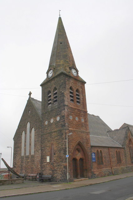
Christ Church, Maryport
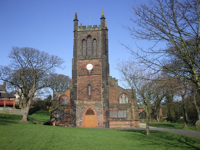
Church of St Mary, Maryport

Crosby Street, Maryport

Ellenborough, Maryport
Ewanrigg, Maryport
High Street, Maryport

Maryport at War

Maryport Conservation Area
Maryport Directory, 1811
Maryport Harbour
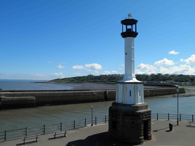
Maryport Lighthouse
Nelson Street, Maryport
Netherhall, Maryport
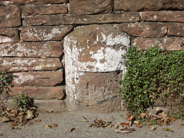
Old Milestone, Maryport
Senhouse Roman Museum, Maryport
Senhouse Street, Maryport
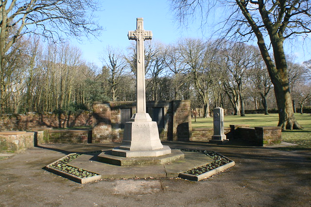
War Memorial, Maryport
Wood Street, Maryport


