Topics > Haverigg
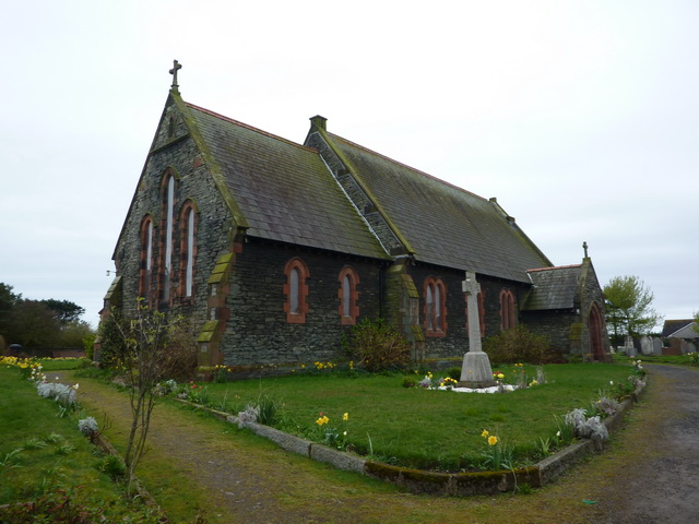
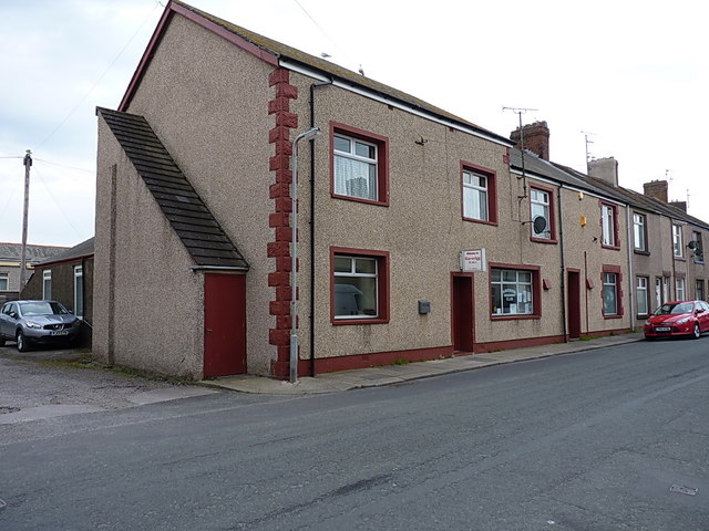
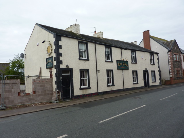
Haverigg
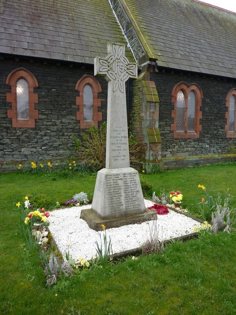
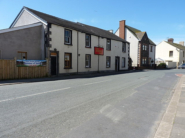
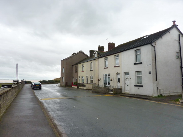
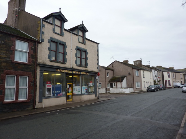
Haverigg is a village on the south-west coast of Cumbria, England, historically part of the county of Cumberland. In 2001 it had a population of 1,791 in 548 households, increasing in 2011 to a population of 1,849 in 549 Households.
The name Haverigg derives from the Old Norse and can be translated as "the hill where oats are grown".
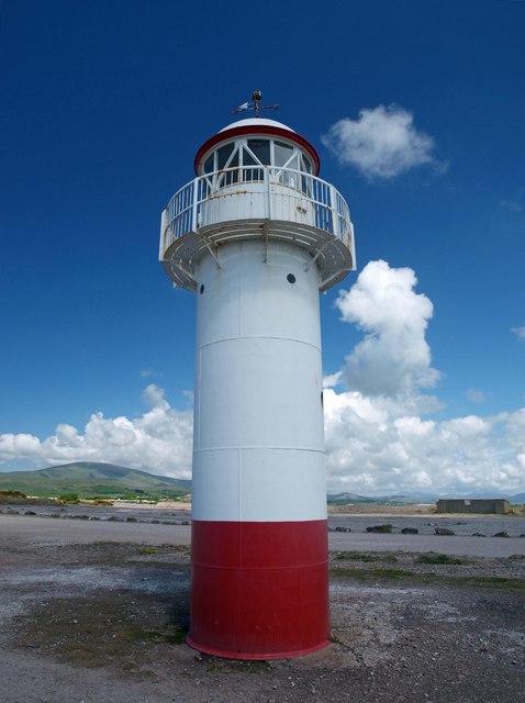
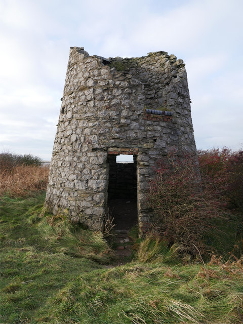
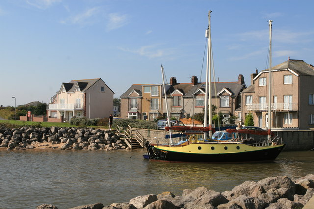
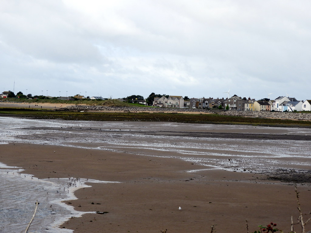
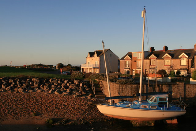
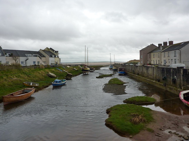
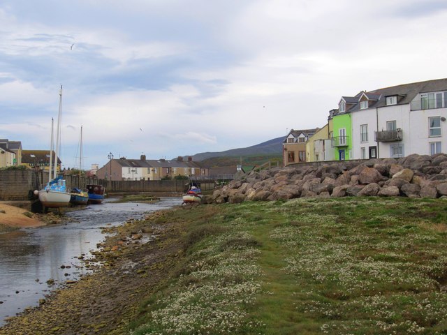
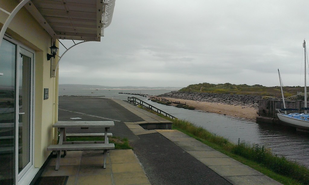
Haverigg is at the mouth of the Duddon Estuary, a protected area important for birds and other wildlife. Haverigg has an extensive, quiet Blue Flag beach. There is also access to a seawall with a lighthouse which protects Hodbarrow Lagoon, part of Hodbarrow RSPB Reserve.
Haverigg is to the south of Whitehaven, to the north of Barrow-in-Furness (by road via the estuary) and to the west of Millom.
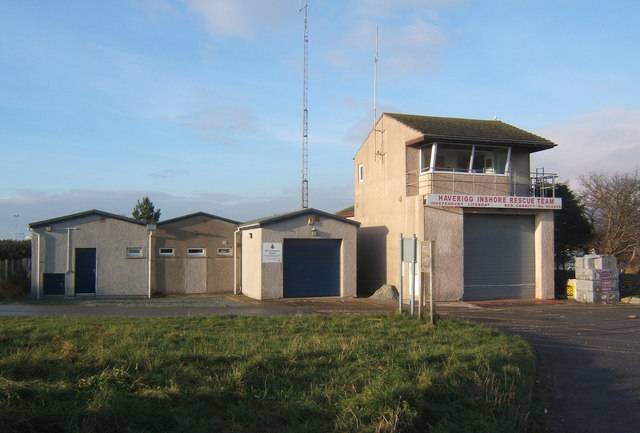
An independent lifeboat station, Haverigg Inshore Rescue Team, has been based in the village since 1973 assisting those in difficulty around the Duddon coastline.
Governance
Haverigg is in the parliamentary constituency of Copeland, Trudy Harrison is the Member of Parliament.
Before Brexit, its residents were covered by the North West England European Parliamentary Constituency.
For Local Government purposes it is in the Black Combe + Scafell Ward of the Borough of Copeland and the Millom Without Ward of Cumbria County Council.
The village does not have its own Parish Council; instead the Haverigg Ward is governed by Millom Town Council.
Haverigg Prison
The village is home to the Category C Haverigg Prison, a low security prison for males from all over the North of England.
Co-Curate Page
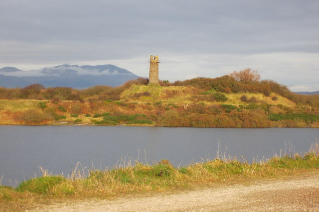
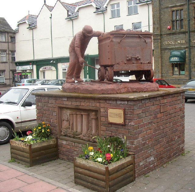
Hodbarrow Iron Ore Mines (1850 - 1968)
- The first of the Hodbarrow iron ore (red hematite) mines, located between Millom and the seashore at Hodbarrow Point in Cumberland (now Cumbria), opened in c.1850. At that time Millom …
Co-Curate Page
Steel Green, Haverigg
- Overview Map Street View Steel Green is a small settlement located about half a mile south of Millom and immediately east of Haverigg. Port Haverigg Holiday Village is located here …
from Flickr (flickr)
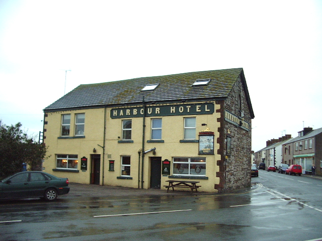
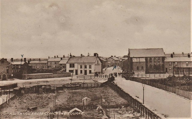
Harbour Hotel, Square, Haverigg nr Barrow~1930 Est Collotype, 1947 Millom PMark
Pinned by Peter Smith
from Flickr (flickr)
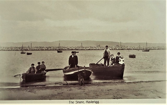
R.P. POSTCARD NEAR VIEW OF MEN & CHILDREN IN BOATS-THE SHORE-HAVERIGG VILLAGE
Pinned by Peter Smith
from IllustratedChronicles (flickr)
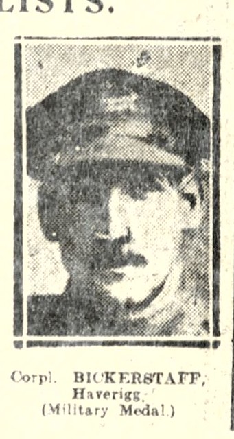
Bickerstaff - Haverigg - Military Medal
Pinned by Simon Cotterill
from https://www.sankeyphotoarchiv…
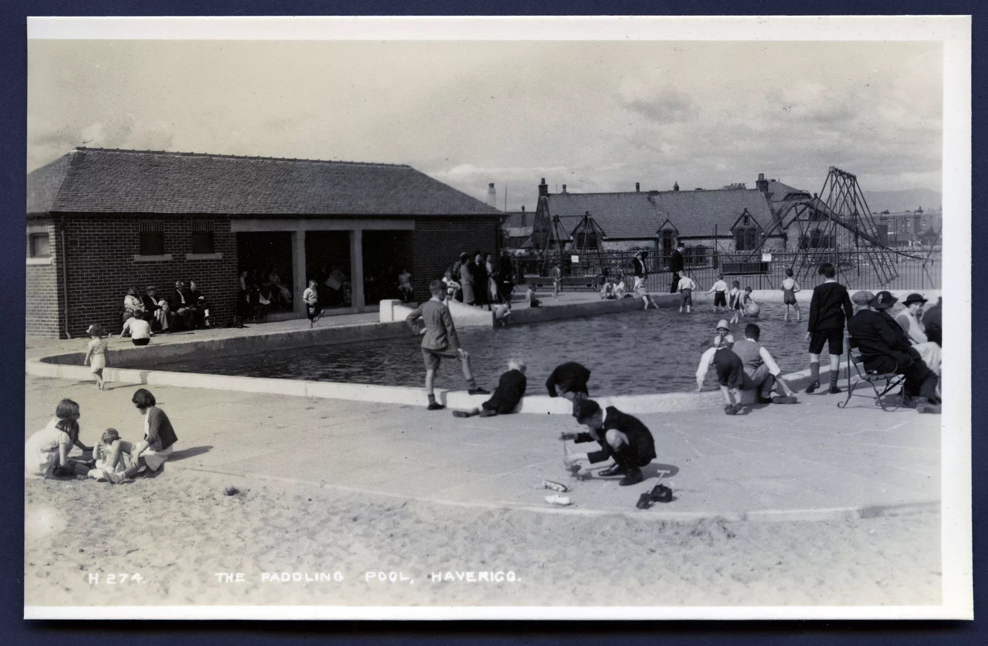
The Paddling Pool, Haverigg - 1950s
- A paddling pool is busy with children of all ages playing in and around the pool. Some adults are sat on benches around the pool others at the poolside. A …
Added by
Simon Cotterill
from https://www.sankeyphotoarchiv…
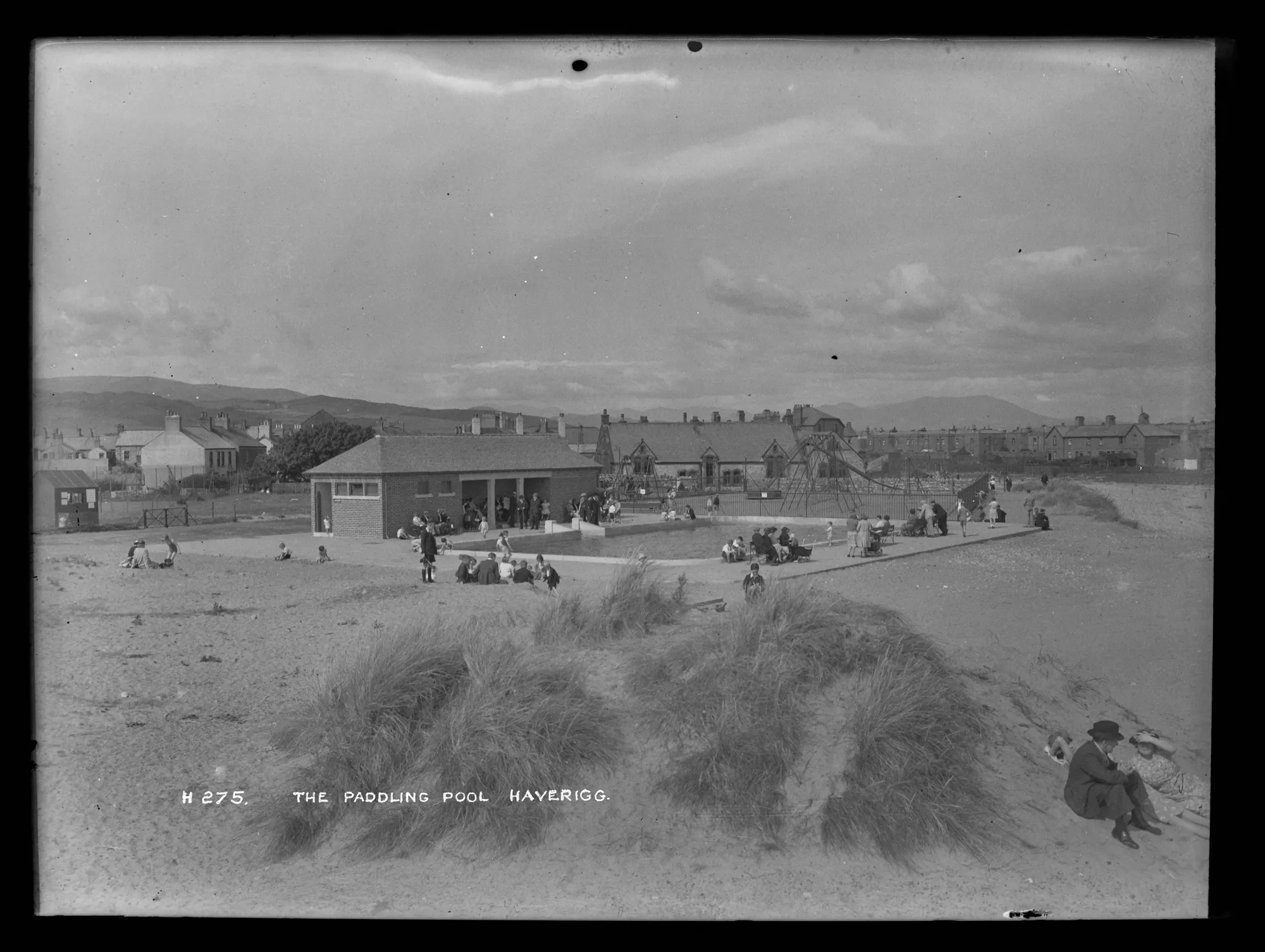
The Paddling Pool Haverigg - 1939
- View of the paddling pool and the newly built brick toilet block and shelter. Lots of people sitting around the pool but the playground beyond looks completely empty behind iron …
Added by
Simon Cotterill
from https://www.sankeyphotoarchiv…
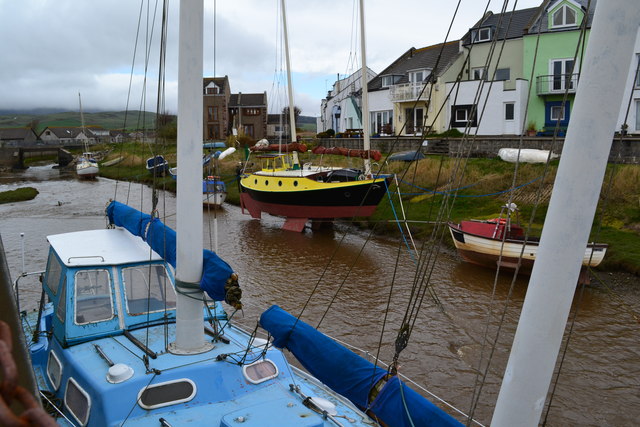
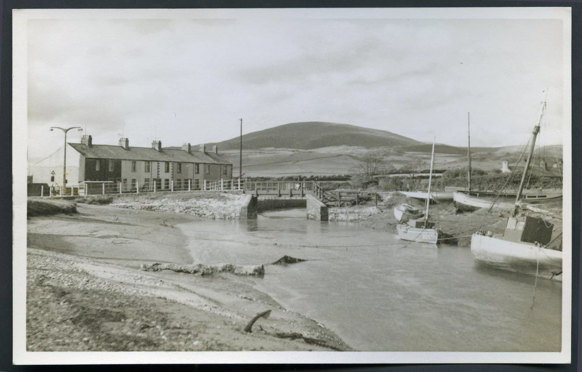
Haverigg and Black Combe - 1960s
- Scan of a print. View looking north at the harbour at Haverigg with the road bridge at the centre and Black Combe in the background. Two small, old, gaff rigged …
Added by
Simon Cotterill
from https://www.sankeyphotoarchiv…
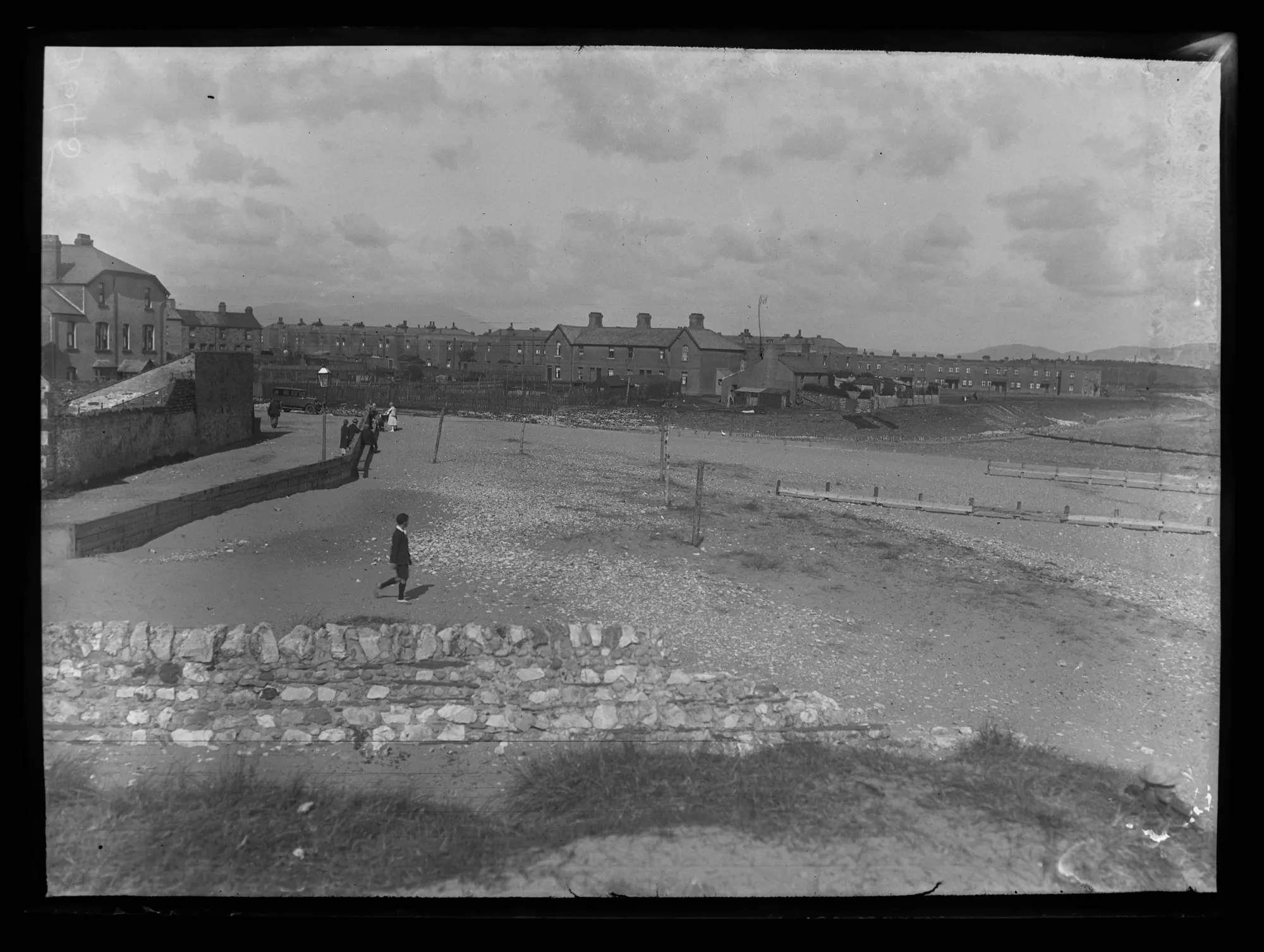
The Beach, Haverigg - Mid 1920s
- The shore at Seaview where the River Lazy joins the estuary. Across the river is Concrete Square, homes built for miners at Hodbarrow in 1872. There are the older Caine’s …
Added by
Simon Cotterill

Co-Curate Page
Hodbarrow Iron Ore Mines (1850 - 1968)
- The first of the Hodbarrow iron ore (red hematite) mines, located between Millom and the seashore at Hodbarrow Point in Cumberland (now Cumbria), opened in c.1850. At that time Millom …
Co-Curate Page
Steel Green, Haverigg
- Overview Map Street View Steel Green is a small settlement located about half a mile south of Millom and immediately east of Haverigg. Port Haverigg Holiday Village is located here …
from Flickr (flickr)
Harbour Hotel, Square, Haverigg nr Barrow~1930 Est Collotype, 1947 Millom PMark
Pinned by Peter Smith
from Flickr (flickr)
R.P. POSTCARD NEAR VIEW OF MEN & CHILDREN IN BOATS-THE SHORE-HAVERIGG VILLAGE
Pinned by Peter Smith
from IllustratedChronicles (flickr)
Bickerstaff - Haverigg - Military Medal
Pinned by Simon Cotterill
from https://www.sankeyphotoarchiv…
The Paddling Pool, Haverigg - 1950s
- A paddling pool is busy with children of all ages playing in and around the pool. Some adults are sat on benches around the pool others at the poolside. A …
Added by
Simon Cotterill
from https://www.sankeyphotoarchiv…
The Paddling Pool Haverigg - 1939
- View of the paddling pool and the newly built brick toilet block and shelter. Lots of people sitting around the pool but the playground beyond looks completely empty behind iron …
Added by
Simon Cotterill
from https://www.sankeyphotoarchiv…
Haverigg and Black Combe - 1960s
- Scan of a print. View looking north at the harbour at Haverigg with the road bridge at the centre and Black Combe in the background. Two small, old, gaff rigged …
Added by
Simon Cotterill
from https://www.sankeyphotoarchiv…
The Beach, Haverigg - Mid 1920s
- The shore at Seaview where the River Lazy joins the estuary. Across the river is Concrete Square, homes built for miners at Hodbarrow in 1872. There are the older Caine’s …
Added by
Simon Cotterill