Topics > Watermillock
Watermillock
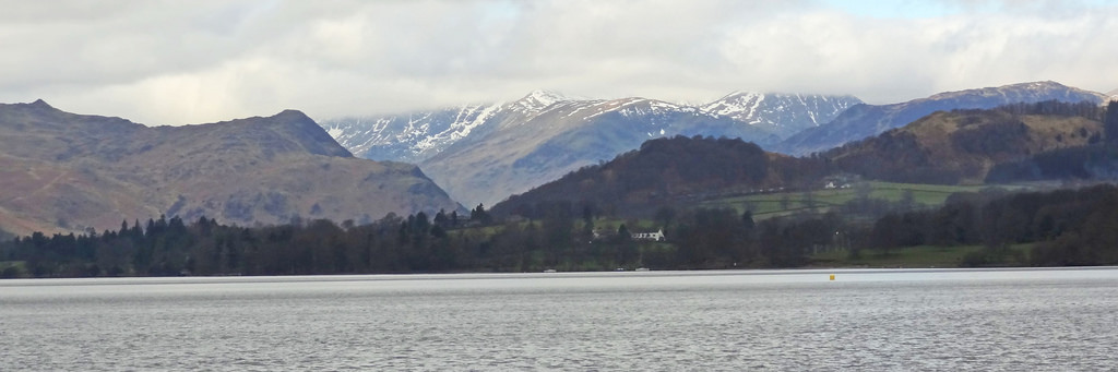
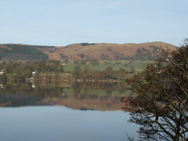
Watermillock is a village and former civil parish, now in the parish of Matterdale, on the western shore of Ullswater, in the English Lake District, Cumbria. In 1931 the civil parish had a population of 448. On 1 April 1934 the civil parish was merged into Matterdale.
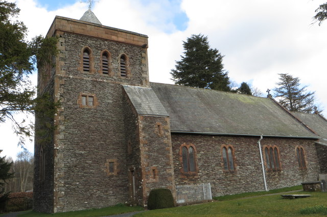
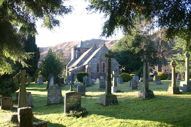
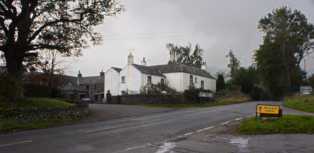
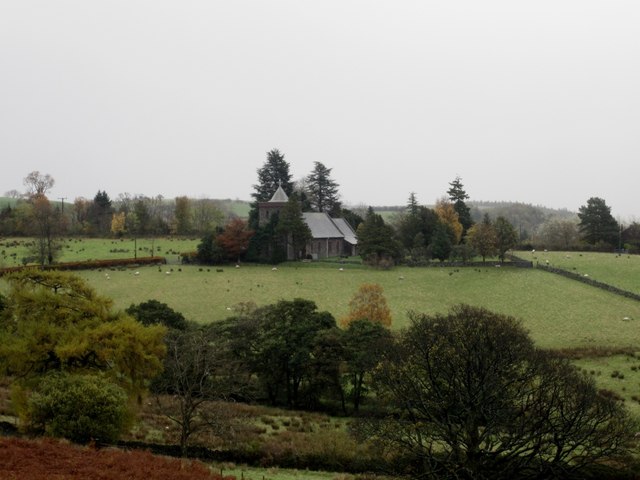
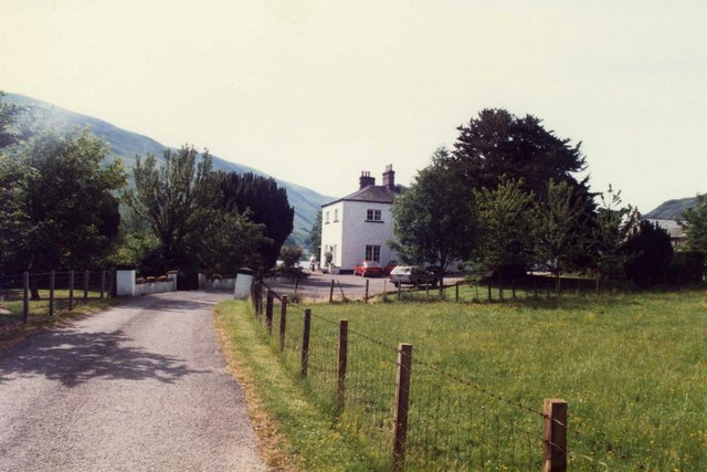
The settlement is popular with tourists, with several campsites and two hotels. The village and outlying farms are widely scattered between the lake and Little Mell Fell. Much of the high ground around the village was once deer forest, popular with the local gentry for hunting. All Saints Church, Watermillock was built in 1881 of slate and red sandstone, replacing an earlier church at the site of what is now known as the Old Church Hotel. All the windows are memorials to various people, including Cecil Spring Rice and Stephen Spring Rice, who grew up in the village.
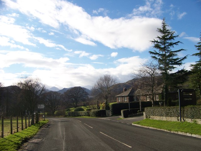
The village is accessed by the A592 road. The Outward Bound Trust own the village manor next to the lake. The waterfall of Aira Force is situated to the west of the village.
Visit the page: Watermillock for references and further details. You can contribute to this article on Wikipedia.
Co-Curate Page
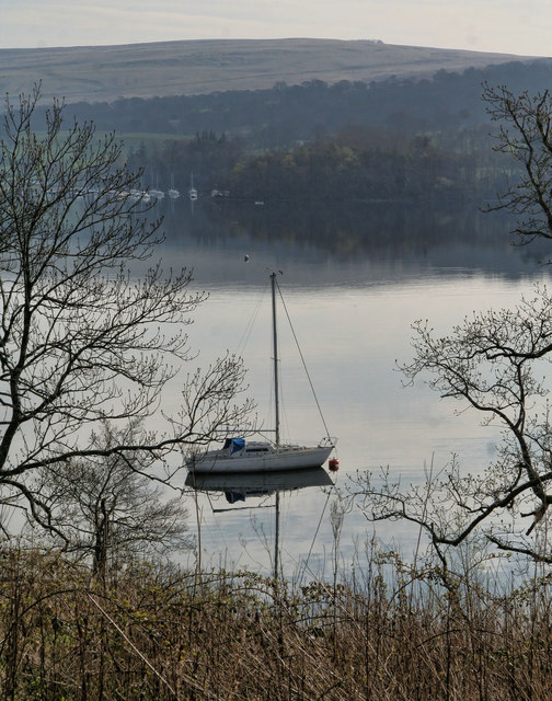
Ullswater
- Overview About Ulswater Map Street View Ullswater is the second largest lake in the English Lake District, being approximately nine miles (14.5 kilometres) long and 0.75 miles (1,200 m) …

Co-Curate Page
Watermillock, 1848
- WATER-MILLOCK, a chapelry, in the parish of Greystock, union of Penrith, Leath ward, E. division of Cumberland, 7 miles (S.W.) from Penrith; containing 524 inhabitants. This place is sometimes called …

Co-Curate Page
Ullswater
- Overview About Ulswater Map Street View Ullswater is the second largest lake in the English Lake District, being approximately nine miles (14.5 kilometres) long and 0.75 miles (1,200 m) …
Co-Curate Page
Watermillock, 1848
- WATER-MILLOCK, a chapelry, in the parish of Greystock, union of Penrith, Leath ward, E. division of Cumberland, 7 miles (S.W.) from Penrith; containing 524 inhabitants. This place is sometimes called …