Cowgill
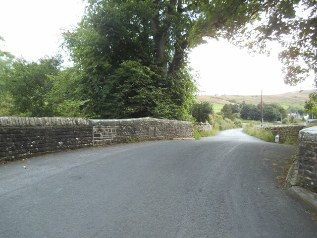
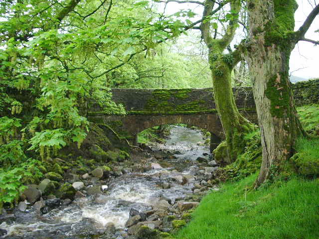
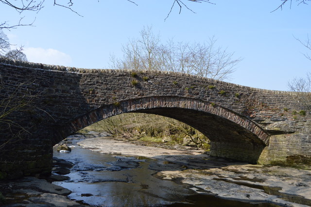
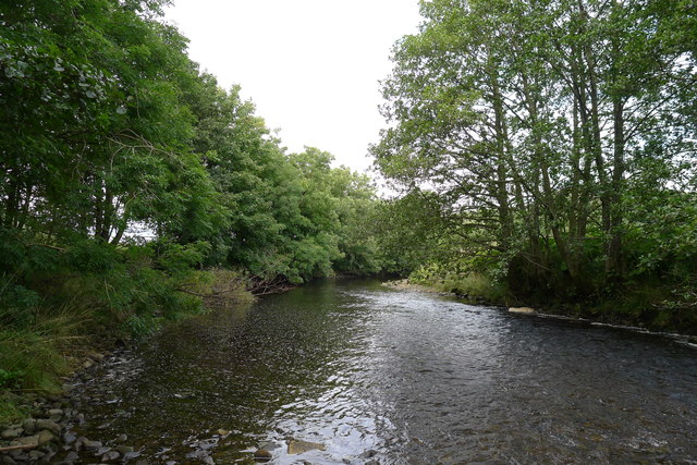
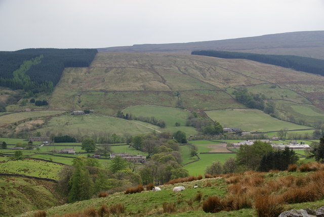
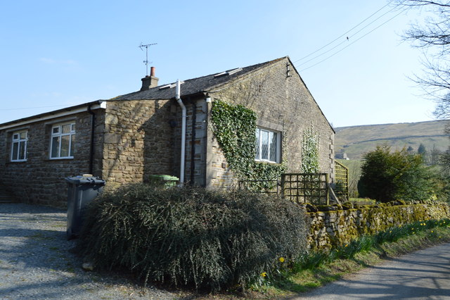
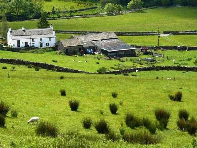
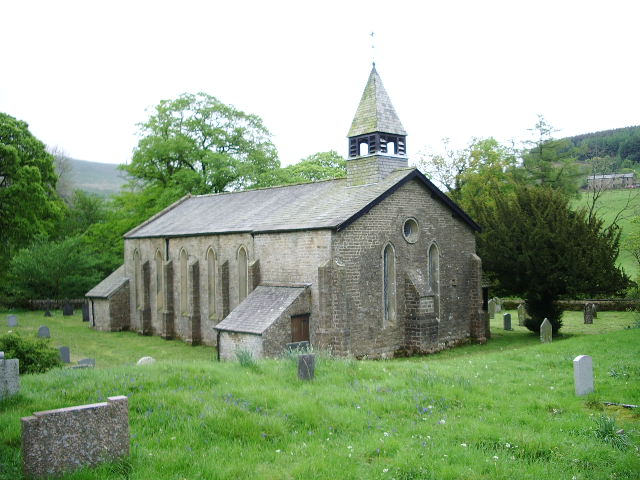
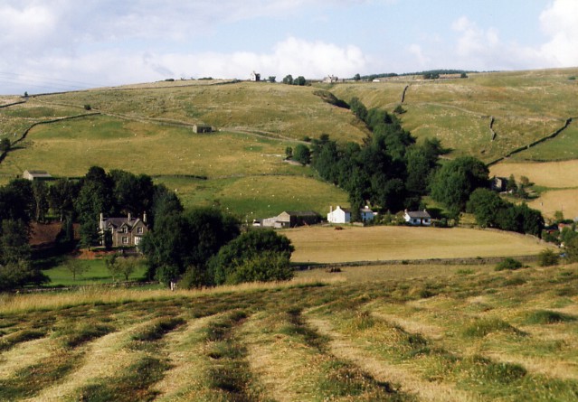
Cowgill is a distributed village in the South Lakeland area of Cumbria, located about 3½ miles east of the village of Dent and 7 miles south-east of Sedbergh. It is comprised of several houses and farms spread over Upper Dentdale around the point where Cowgill Beck joins the River Dee. St John's Church here dates from 1838. Historically, Cowgill was an ecclesiastical district and part of the ancient parish of Sedbergh in the West Riding of Yorkshire. Cowgill became part of the new county of Cumbria in 1974 and now falls within the unitary authority area of Westmorland & Furness, which was formed in 2023. Cowgill forms part of Dent Civil Parish.
COWGILL, an ecclesiastical district, in the parochial chapelry of Dent, parish and union of Sedbergh, W. division of the wapentake of Staincliffe and Ewcross, W. riding of York, 9 miles (S.E. by E.) from Sedbergh; containing about 500 inhabitants. It lies south of Rysell Fell, and partakes much of the scenery of the chapelry at large: the river Dee passes in the vicinity. Here are some small collieries, of which the veins of coal are from six to fifteen inches deep. The living is a perpetual curacy, in the patronage of five Trustees; income, £100. The church stands at the head of a picturesque vale, four miles east from Dent, and is a small neat structure with a campanile turret, built by subscription, in 1838, at a cost of £750: to the building and endowment, Professor Sedgwick contributed £100. There is a place of worship for the Society of Friends, in which Fox has preached, and attached to which is a school. A Sunday school is connected with the church.
Extract from: A Topographical Dictionary of England comprising the several counties, cities, boroughs, corporate and market towns, parishes, and townships..... 7th Edition, by Samuel Lewis, London, 1848.
Co-Curate Page
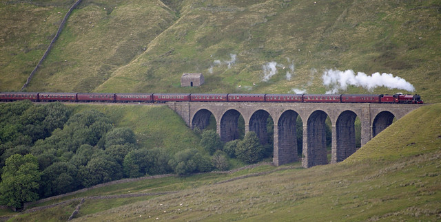
Artengill Viaduct
- Overview Map Street View Artengill Viaduct (aka Arten Gill Viaduct) carries the Settle and Carisle Railway line over the valley of Artengill Beck (stream). It is located to the north …