Topics > Cockermouth > Gote, Cockermouth
Gote, Cockermouth
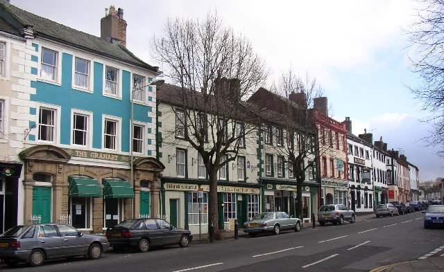
Gote (aka Goat) is an area in Cockermouth, located to the north of the River Derwent. It was previously a separate village and historically part of the township and later civil parish of Papcastle, until 1934, when it became part of Cockermouth Urban District.
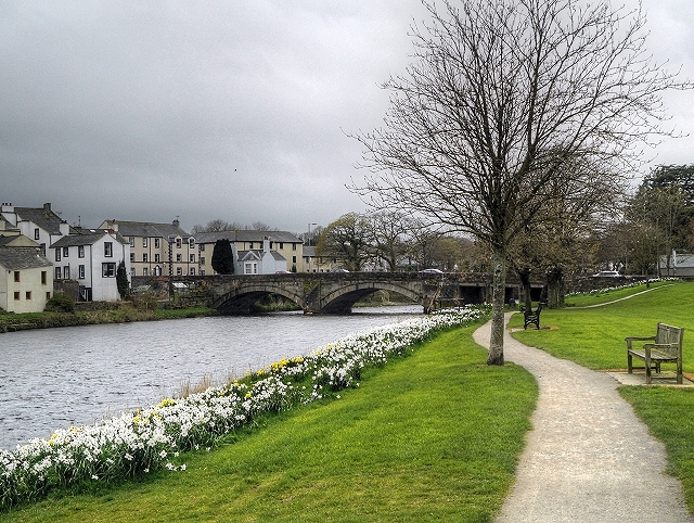
GOAT, a hamlet, in the township of Papcastle, parish of Bridekirk, union of Cockermouth, Allerdale ward below Derwent, W. division of Cumberland; containing 172 inhabitants. The village is connected with the town of Cockermouth by a handsome stone bridge across the Derwent.
Extract from: A Topographical Dictionary of England comprising the several counties, cities, boroughs, corporate and market towns, parishes, and townships..... 7th Edition, by Samuel Lewis, London, 1848.
Co-Curate Page
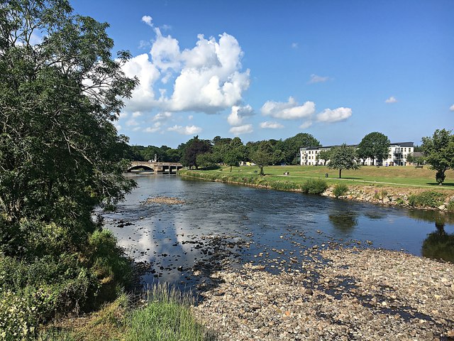
Gote Bridge, Cockermouth
- Overview Map Street View Gote Bridge (aka Derwent Bridge) is the main road bridge across the River Derwent in Cockermouth. The bridge was built in 1822 and connects the town …