Topics > Midgeholme
Midgeholme
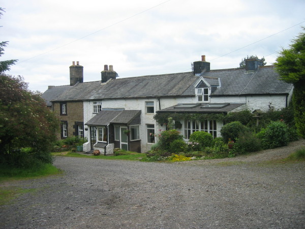
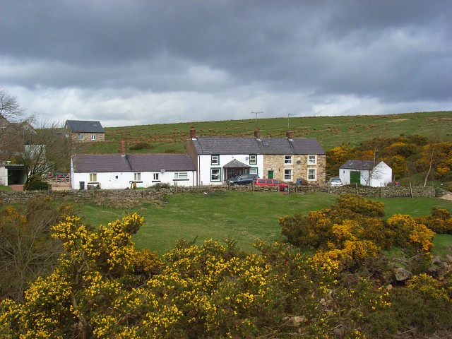
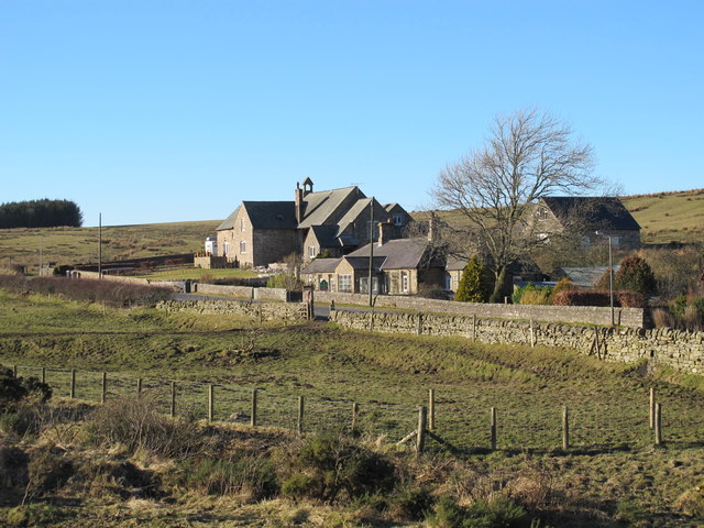
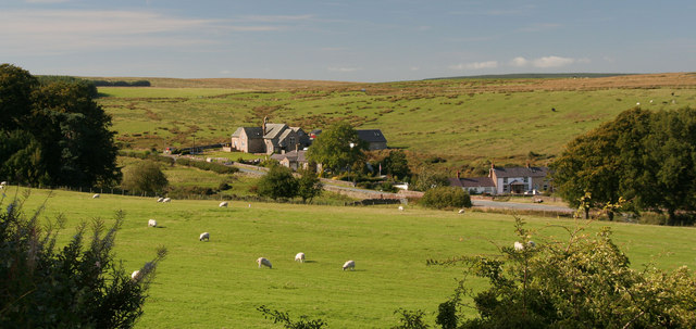
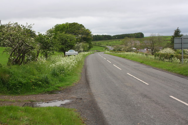
Low Midgeholme and High Midgeholme are hamlets in the City of Carlisle district of Cumbria. They are located about 7 miles east of Brampton, very close to the county border with Northumberland. Midgeholme is on the A689 road, just under a mile west of the village of Halton-Lea-Gate in Northumberland. The two hamlets and surrounding area form Midgeholme Civil Parish.
MIDGE-HOLME, an extra-parochial liberty, in the union of Brampton, Eskdale ward, E. division of the county of Cumberland; containing 88 inhabitants, and comprising 291 acres of land.
Extract from: A Topographical Dictionary of England comprising the several counties, cities, boroughs, corporate and market towns, parishes, and townships..... 7th Edition, by Samuel Lewis, London, 1848.
Midgeholme is a hamlet and civil parish in City of Carlisle district, Cumbria, England. At the 2001 census the parish had a population of 67.
The parish is bordered to the north by Farlam; to the east by Hartleyburn and Knaresdale with Kirkhaugh, both in Northumberland; to the south by Geltsdale; and to the west by Hayton.
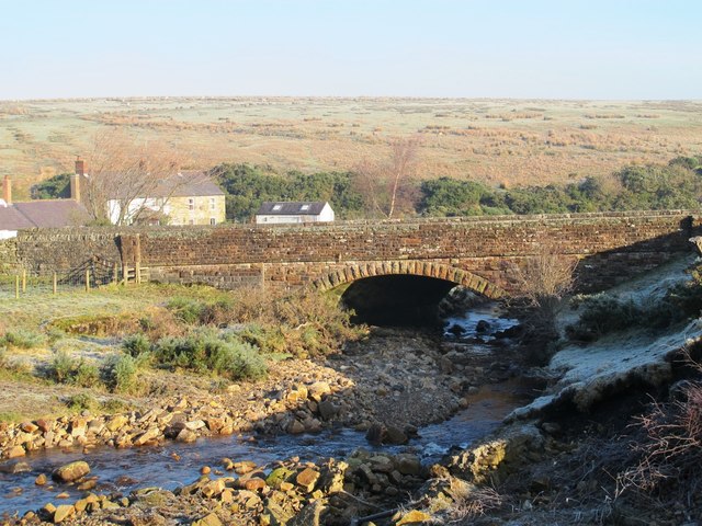
Cold Fell, at , is on the boundary of Midgeholme and Geltsdale parishes. The hamlet of Midgeholme and the disused Midgeholme Coalfield are in the north east of the parish, near the A689 road between Brampton and Lambley.
Listed buildings
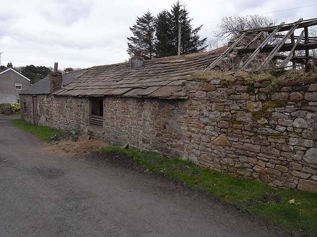
the only listed building in the parish is Tarn House, built in the late 15th century and extended and altered in 1843, at Grade II*.
It overlooks Tindale Tarn, the north shore of which forms the boundary with Farlam parish.
Visit the page: Midgeholme for references and further details. You can contribute to this article on Wikipedia.

from https://www.cumbriacountyhist…
Midgeholme
- CP created 1883 from extra-parochial moorland and detached portions of Banks and Naworth townships in Eskdale ward, Cumberland...Economy:
moorland grazing; extractive industries 19th and early 20th centuries, linked by tramways …
Added by
Simon Cotterill