Topics > Windermere > Westmorland and Furness > Arnside
Arnside
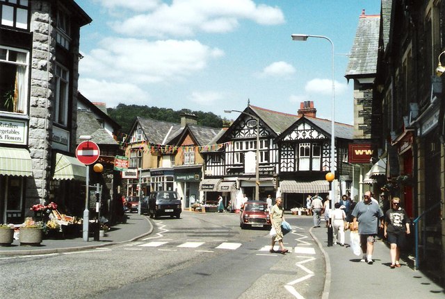
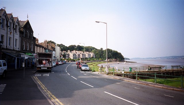
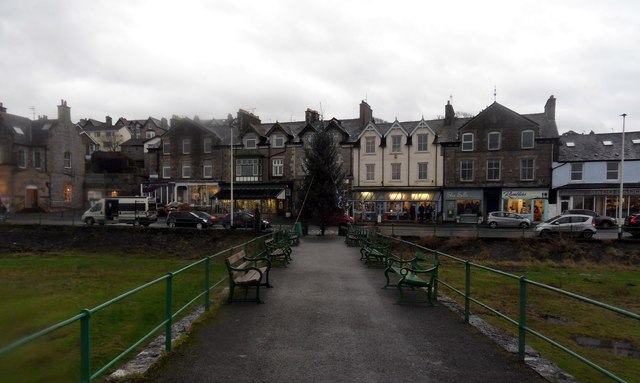
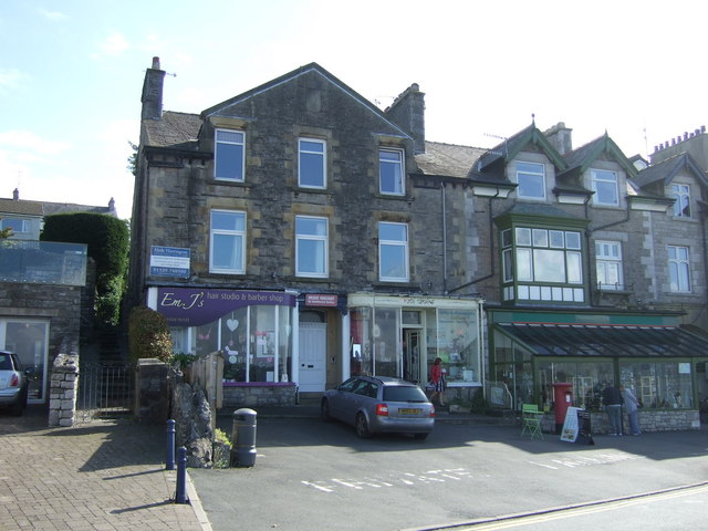
Arnside is a village and civil parish in Cumbria, England. It faces the estuary of the River Kent on the north-eastern corner of Morecambe Bay, within the Arnside and Silverdale Area of Outstanding Natural Beauty. Historically it lay within Westmorland, near the border with Lancashire, and has a population of 2,301, increasing to 2,334 at the 2011 Census.
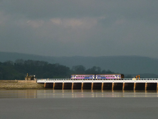
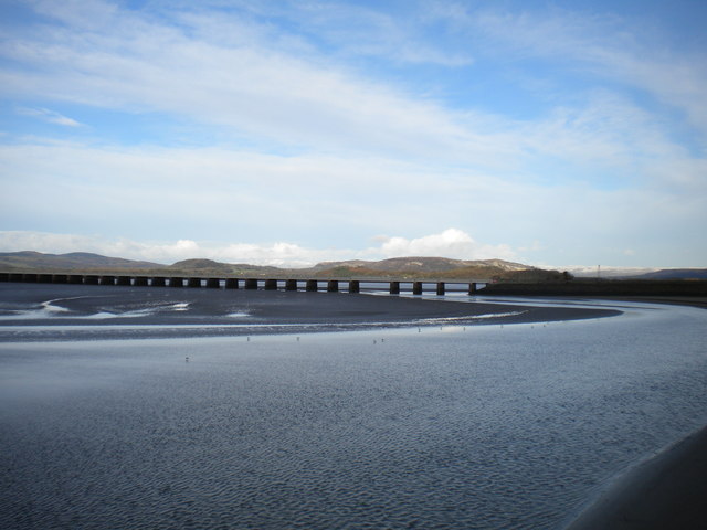
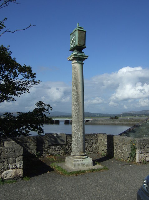
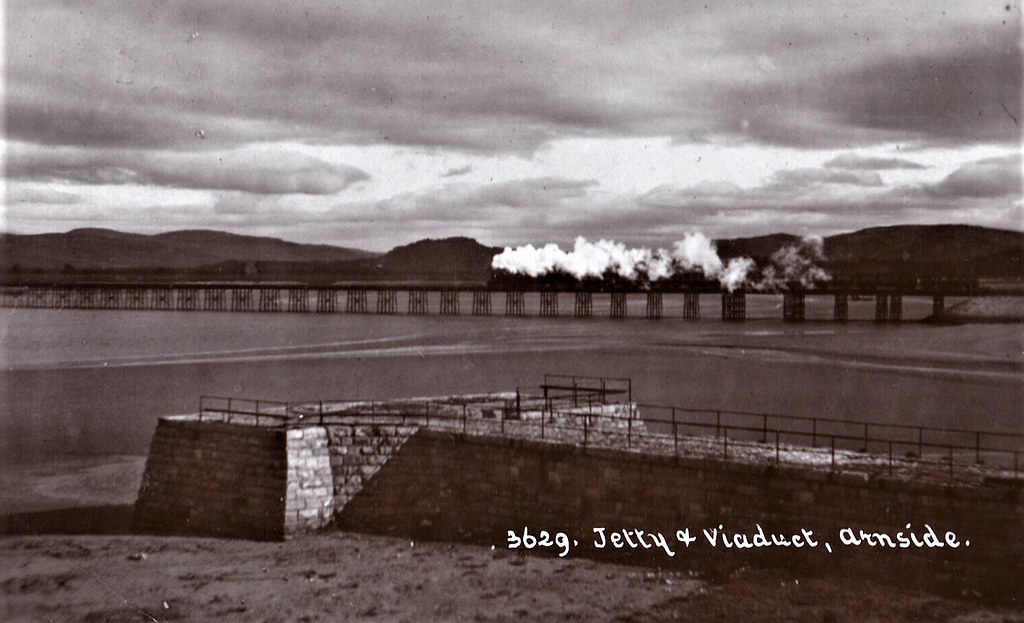
The village lies on the Furness Line (which goes from Lancaster to Barrow-in-Furness and then on to Carlisle), and passes over the River Kent via the Arnside viaduct. Up to the 19th century, the village was a port, but building the viaduct caused the estuary to silt up.
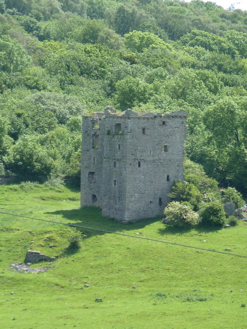
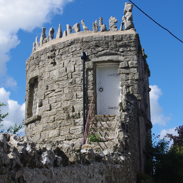
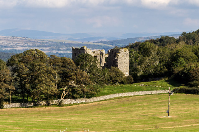
The oldest building in the parish is Arnside Tower, a Peel tower built in the 14th/15th century as a refuge against raids from Scots and the Border Reivers. The town is overlooked by Arnside Knott, a hill that rises out of the estuary.
Arnside Golf Club (now defunct) was founded in 1906/7. The club disappeared in the 1920s.
Governance
The village is in the electoral ward of Arnside and Beetham. This ward had a total population of 4,118 at the 2011 Census.
Transport
Arnside railway station, which serves the village, is located on the Furness Line giving connections to Barrow-in-Furness, Ulverston, Grange-over-Sands, Carnforth and Lancaster.
The line was opened in 1857 by the Ulverstone and Lancaster Railway, which was taken over by the Furness Railway 26 May 1862. The Furness Railway's Hincaster Branch ran from 26 June 1876, connecting to the Lancaster and Carlisle Railway at Hincaster, which is now part of the West Coast Main Line (WCML). Passenger services ended on the branch on 4 May 1942 and the lines were removed in 1966.
The village is connected to Kendal by the 551 and 552 bus services.
Arnside viaduct
The railway line is carried over the River Kent on a viaduct long, with 50 piers. It was built in 1857 and rebuilt in 1915.
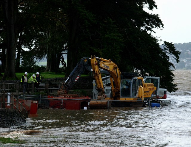
Tides
With each high tide, the coast of Arnside is subjected to a very fast rising tide. Because of the potential danger warning notices are posted at the pier, and an audible warning is sounded before every high tide (in daylight). The sequence of warnings is:-
# Eight sounds on the siren - around 2.25 h before high tide
# Eight sounds on the siren - around 1.75 h before high tide
# Twelve sounds on the siren - around 1.25 h before high tide when the incoming tide is just visible from the Coastguard station (location of the siren )
The cause of this fast tide is a combination of the large area of Morecambe Bay, which narrows rapidly at Arnside, plus the second highest tidal range (at Barrow-in-Furness, which can be as much as on a spring tide nearest the spring and autumn equinox: these typically give rise to a tidal bore, which may be as high as , and are often used by canoeists.
Notable people
- Robert Wilson (1922-1980), first-class cricketer and Royal Air Force officer
from Flickr (flickr)
1908 RP POSTCARD JETTY & STEAM TRAIN ON VIADUCT, ARNSIDE, CUMBRIA, WESTMORLAND
Pinned by Peter Smith
from Flickr (flickr)
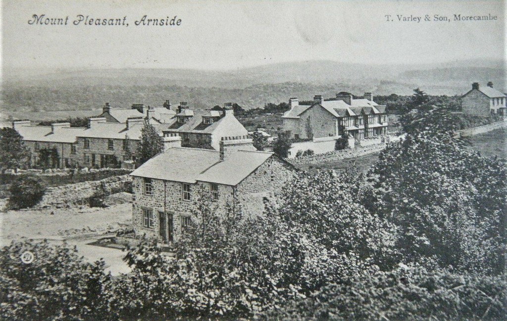
ARNSIDE MOUNT PLEASANT - SCARCE 1915 PRINTED PHOTO POSTCARD!
Pinned by Peter Smith
from Flickr (flickr)
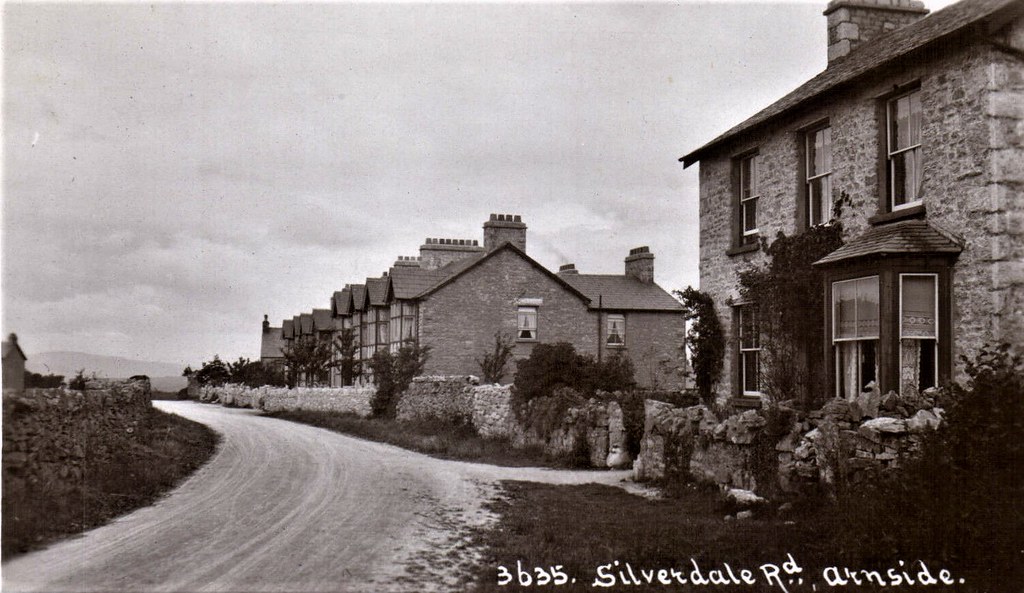
Arnside. Silverdale Road in Lilyland Series # 3635. CUMBRIA POSTCARD
Pinned by Peter Smith
from Flickr (flickr)
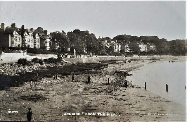
VIEW OF ARNSIDE FROM THE PIER 1922. VINTAGE REAL PHOTO POSTCARD
Pinned by Peter Smith

from Flickr (flickr)
1908 RP POSTCARD JETTY & STEAM TRAIN ON VIADUCT, ARNSIDE, CUMBRIA, WESTMORLAND
Pinned by Peter Smith
from Flickr (flickr)
ARNSIDE MOUNT PLEASANT - SCARCE 1915 PRINTED PHOTO POSTCARD!
Pinned by Peter Smith
from Flickr (flickr)
Arnside. Silverdale Road in Lilyland Series # 3635. CUMBRIA POSTCARD
Pinned by Peter Smith
from Flickr (flickr)
VIEW OF ARNSIDE FROM THE PIER 1922. VINTAGE REAL PHOTO POSTCARD
Pinned by Peter Smith