Topics > Windermere > Westmorland and Furness > Alston
Alston
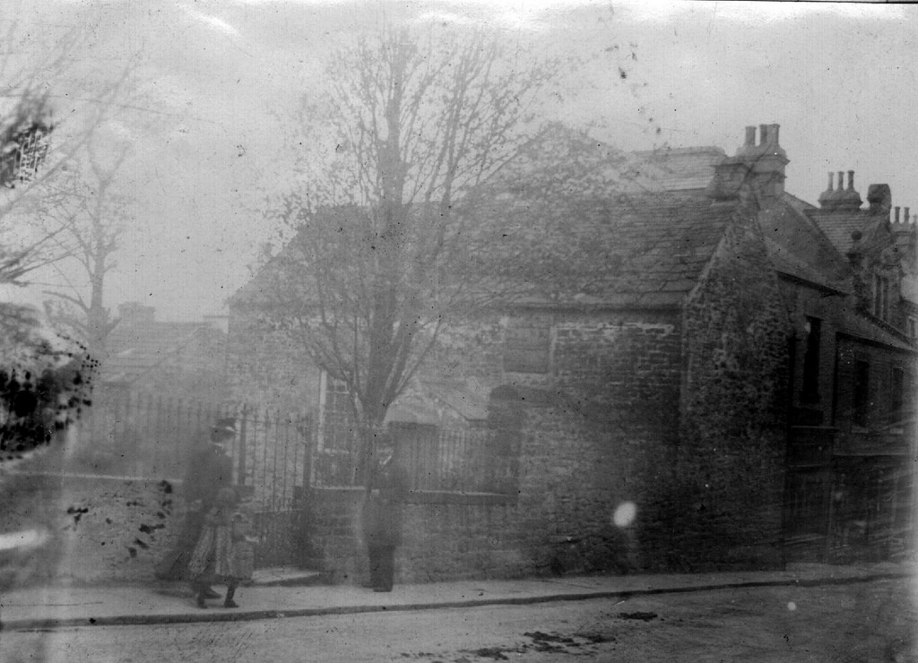
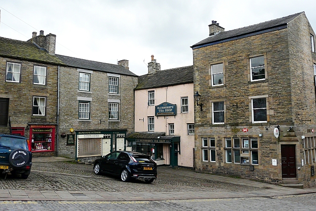
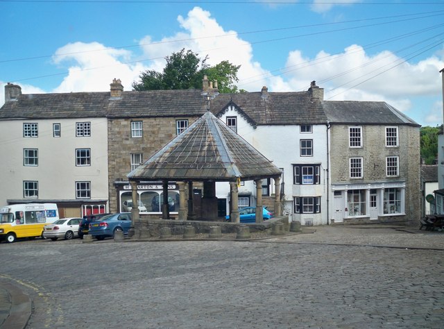
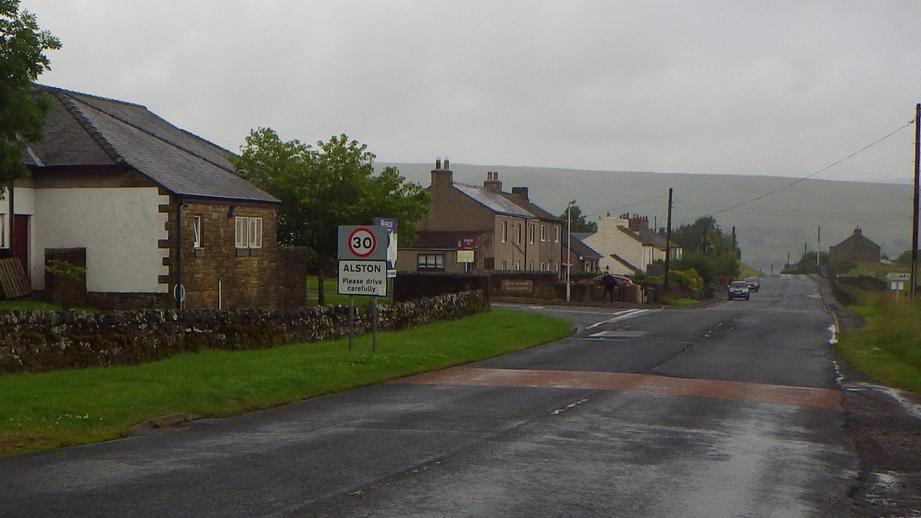
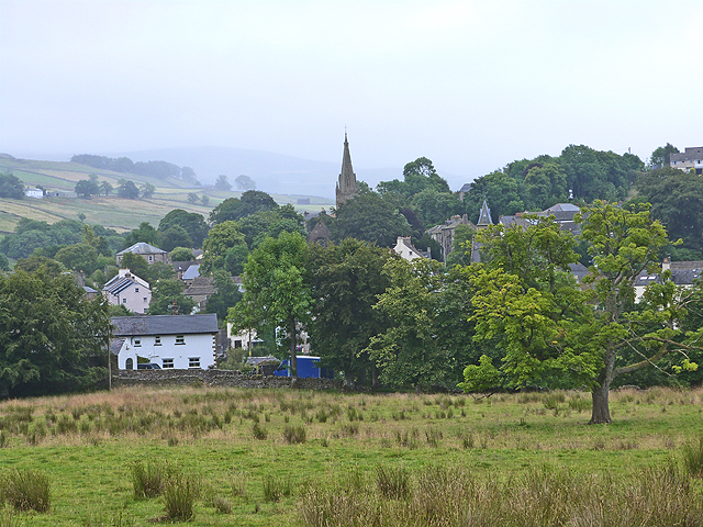
Alston is a small town in Cumbria, England, within the civil parish of Alston Moor on the River South Tyne. It shares the title of the 'highest market town in England', at about 1,000 feet (300 m) above sea level, with Buxton, Derbyshire. Despite being at such an altitude and in a remote location, the town is easily accessible via the many roads which link the town to Weardale valley, Teesdale, Hartside Pass (and towns in Cumbria such as Penrith) as well as the Tyne valley. Historically part of Cumberland, Alston lies within the North Pennines, a designated Area of Outstanding Natural Beauty and is surrounded by beautiful views of the surrounding fells and the South Tyne Valley. Much of the town centre is a designated Conservation Area which includes several listed buildings.
Geography
Alston lies within the North Pennines Area of Outstanding Natural Beauty, more than from the nearest town, and is surrounded by moorland. Nearby villages include Garrigill and Nenthead.
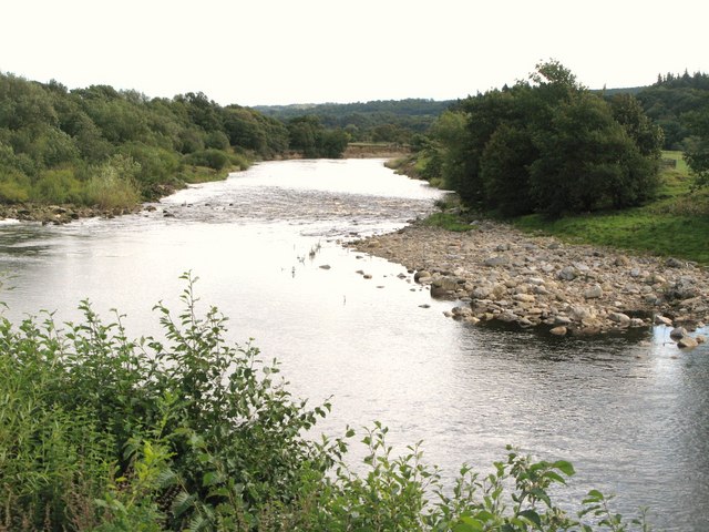
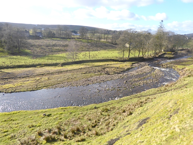
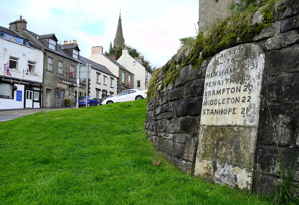
Situated at the crossroads/junction of the A686, A689 and B6277, the town lies on the confluence of the River South Tyne and the River Nent. On 18 May 2013 very heavy rain resulted in flooding in seven areas of Alston, affecting thirty-six properties. The Environment Agency records indicate that 51mm of rain fell that day.
The landscape of the area is built up from limestone, sandstone and shale. The area is rich in minerals, in particular lead deposits, and the landscape has been heavily influenced by the effects of varying methods of mining over the centuries.
Climate
This town has a cool and relatively rainy oceanic climate (Cfb, according to the Köppen climate classification), with mild summers and chilly winters, with snowfalls. It is one of the coldest inhabited places in England.
There are some ski-tows on the northwest slopes of Burnhope Seat, a hill situated 4 miles away from the urban area of Alston. This forms the Yad Moss ski facility, which has recently been upgraded by Sport England. There is also another ski club near Alston, in a fell called Raise, situated about 40 miles southwest of the town.
History
Early settlements
The earliest evidence of population in the area comes from pottery fragments, a gold basket-earring and flint tools found in one of two barrows excavated in 1935 (] NNW of Alston at Kirkhaugh), these were dated between 2000 BC and 1700 BC.
Evidence of Roman activity in the area comes from the earth remains of Whitley Castle, thought to be the Roman fort (Castra) of Epiacum built and rebuilt by the Sixth and Twentieth Legions between the 2nd and 3rd centuries. The fort lies on the Maiden Way Roman road which runs north from Kirkby Thore (Bravoniacum) to Carvoran (Magnae) on Hadrian's Wall. Whitley Castle would have guarded this central supply route to Hadrian's Wall, and may also have helped protect lead and silver deposits in the upper reaches of the South Tyne valley.
The name of the town is recorded in 1164–71 as Aldeneby and in 1209 as Aldeneston, and seems to mean "the settlement or farmstead belonging to Viking man named Halfdan".
Sovereignty
In the 10th century, Alston Moor was part of the Liberty of Tynedale, which was an estate of the Scottish Kings within England, a situation that resulted in many years of confusion over the sovereignty of the area.
In 1085, the Barons de Veteriponte became the first recorded Lords of the Manor; they held the moor on behalf of the kings of Scotland while the kings of England retained the mineral rights. This was confirmed in a hearing during 1279 that concluded that the miners of the area were distinct from the local population, thus paying their dues to the English crown instead of to Scotland. As a result, the miners lived in their own self-regulated communities under English protection.
In 1269 John de Balliol, the king of Scotland, invaded the North of England; as a result Edward I moved to reclaim the Scottish estates and Tynedale, which included Alston Moor, was taken under direct control of the English crown where it remains.
Despite the town being on the Tyne and being historically part of Tynedale, the area has never been part of either Hexhamshire or Northumberland but part of Cumberland and later Cumbria. This was probably because the mines in the area were at one time administered from Carlisle.
Mining
Historically the area has been mined for lead, silver, zinc, coal and fluorspar. The nearby Roman fort of Whitley Castle (Epiacum) may in part have been sited to control and protect the lead mines there.
In the 13th century, the area was known as the silver mines of Carlisle—silver was found in a high proportion (up to 40 troy ounces per long ton or 1.2 g/kg of smelted lead) and was used to create coinage in the Royal Mint established in Carlisle for the purpose. Most mining was very small scale until the mid-18th century,
The biggest mine owner in the area was the London Lead Company; this Religious Society of Friends (Quakers) organisation with enlightened employment policies established an interest in the area during the early 18th century. In 1745, it began construction of a school, a library, a sanitary house, a surgeon's house, a market hall with clock tower, a laundry and a 'ready-money' shop in Nenthead, four miles away.
Many of the last mines closed in the 1950s. A small drift coal mine (Ayle Colliery) was still active in 2013.
Modern economy
The area is no longer actively mined for precious metals although the mining history has been exploited for tourism purposes. There are few jobs in the immediate area, hence the fall in population from 6,858 in 1841 to around 1,200 today.
Farming
The surrounding moorland is mainly used for sheep farming; however many farmers also have other enterprises, such as bed and breakfast accommodation. During winter months farming can be tough, due to the severe weather in the area.
Tourism
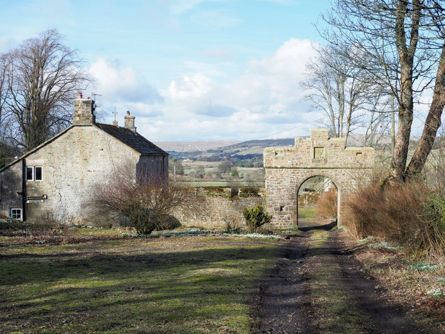
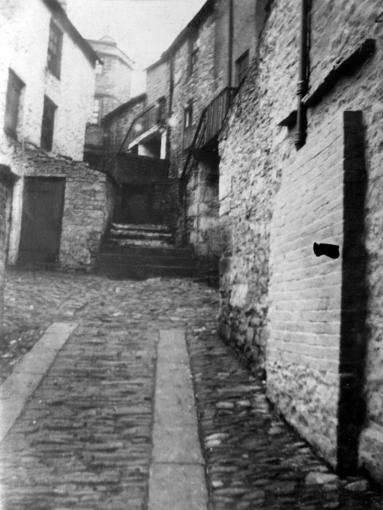
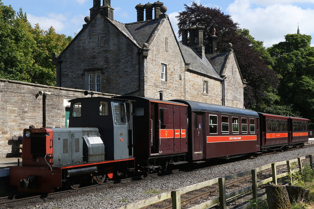
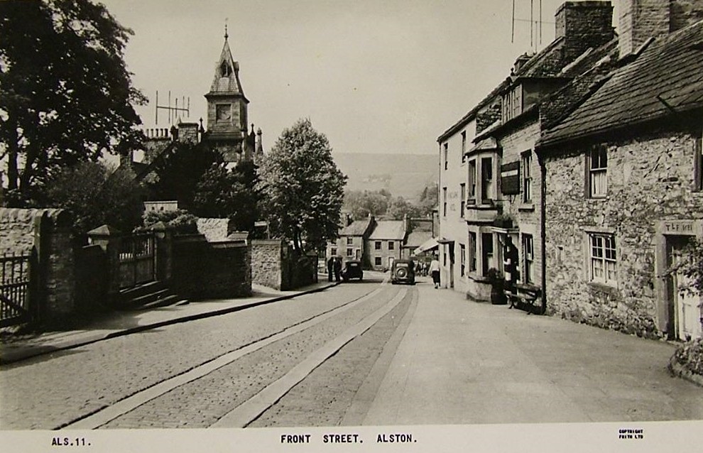
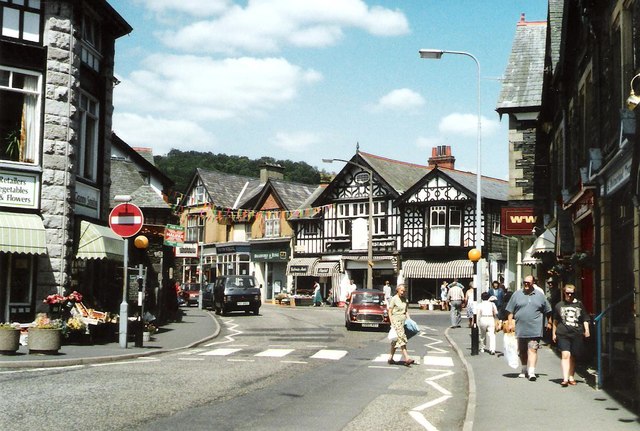
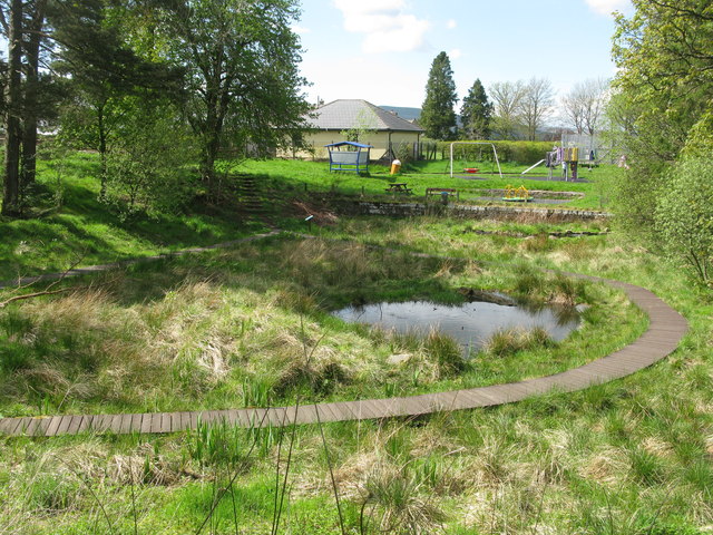
Tourism is now an important source of income for the area. The largest attraction is a narrow gauge railway and heritage centre South Tynedale Railway. Alston and the surrounding area is part of the North Pennines Area of Outstanding Natural Beauty (AONB) and European Geopark. Alston is noted for its cobbled streets and 17th century stone buildings. The area's mining heritage has been referenced for tourism purposes across the North Pennines. Nenthead Mines, at the nearby village of Nenthead, is a Scheduled Monument managed by volunteers. The Nenthead Mines Conservation Society hold regular open days where visitors can learn about the history of lead mining and take an underground tour of Carrs Mine. The Pennine Way, the UK's first National Trail, passes by the edge of Alston and the Sea to Sea Cycle Route (C2C) passes through the town.
Shops and facilities
Shops include a whole foods shop, a Co-op supermarket, a Spar convenience store, a butcher, a shop selling hardware, a post office, an outdoor clothing shop, an organic bakery, a charity shop and a number of craft, gift and antique shops.
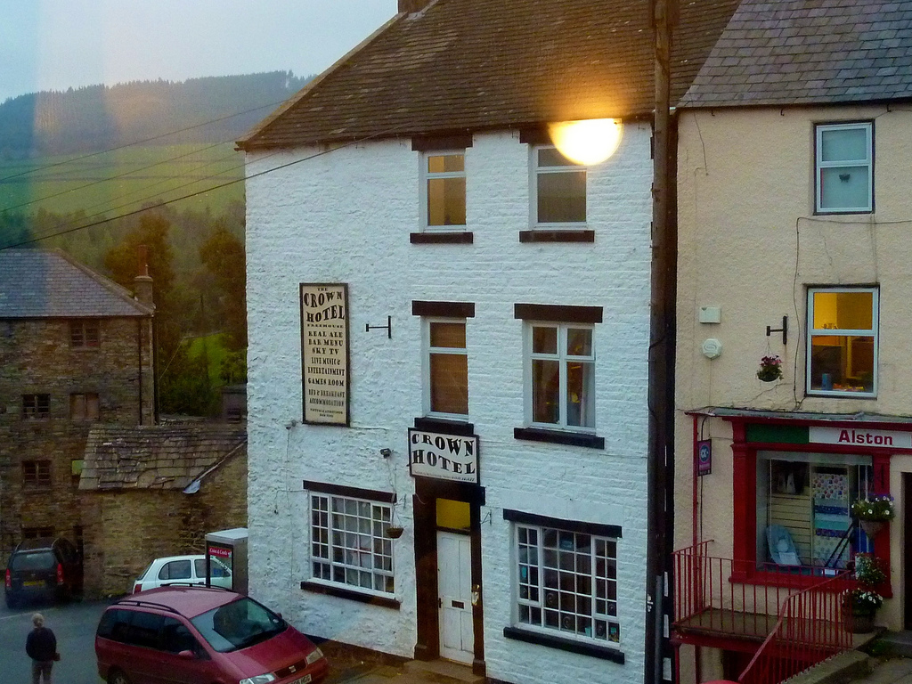
There are a four remaining public houses in Alston: the Cumberland Inn, the Turk's Head, the Victoria Inn and the Angel Inn.
The town also has a number of cafés, a fish and chip shop, two hotels, numerous B&B’s, two petrol stations, a gym, an estate agent and a hairdressers.
The last remaining bank, Barclays, announced that it was going to close in December 2015, leaving the town with no bank. John McFarlane, the new Executive Chairman of Barclays, says “I would slow down bank closures rather than accelerating them. I am particularly hostile to closing the last bank in town.”
Steam trains on the narrow-gauge South Tynedale Railway run from April to October, offering a short journey though pleasant scenery.
Metal working
For much of the 20th century, between 1940 and its closure in 1980, a foundry employed around 200 people. The closure of this foundry increased unemployment in the area from 8.9% to over 25%.
Currently the area's main employer is Bonds Precision Castings Limited, a company that took over Precision Products in 2008. Precision Products was started in 1947 by William (Bilbo) Ball. Bonds Precision Casting Ltd. produces stainless steel and super-alloy castings.
Population
The population census figures show that at its peak during 1831 the population of the parish of Alston Moor was 6,858 people. Today that figure is about 1,200. The population of the town of Alston was 1,128 according to the 2001 Census. The community has its own website which is a result of the Cybermoor Project (cybermoor.org), which has brought the Internet to almost every home on Alston Moor, and broadband to many. This allowed people with little or no education access to online courses and training. The problem of the area's relative remoteness compared to other areas of England was solved by utilising IEEE 802.11 technology to construct the network infrastructure.
Landmarks and buildings of note
Town hall
The town hall is a focal point for the community, being a venue for many local social events. It also contains the tourist information centre, the public library and some local administration offices. Until the late 1980s the town hall also contained a branch of the Trustee Savings Bank. The bank closed down but the library moved to premises in the Market Place, then moved back to the town hall in September 2008. Construction of the neo-gothic building started in 1857 when Hugh Lee Pattinson laid the foundation stone. The architecture was designed by A.B. Higham and the estimated costs were £2,000, although the final costs were closer to £3,000; these were paid for by public subscription.
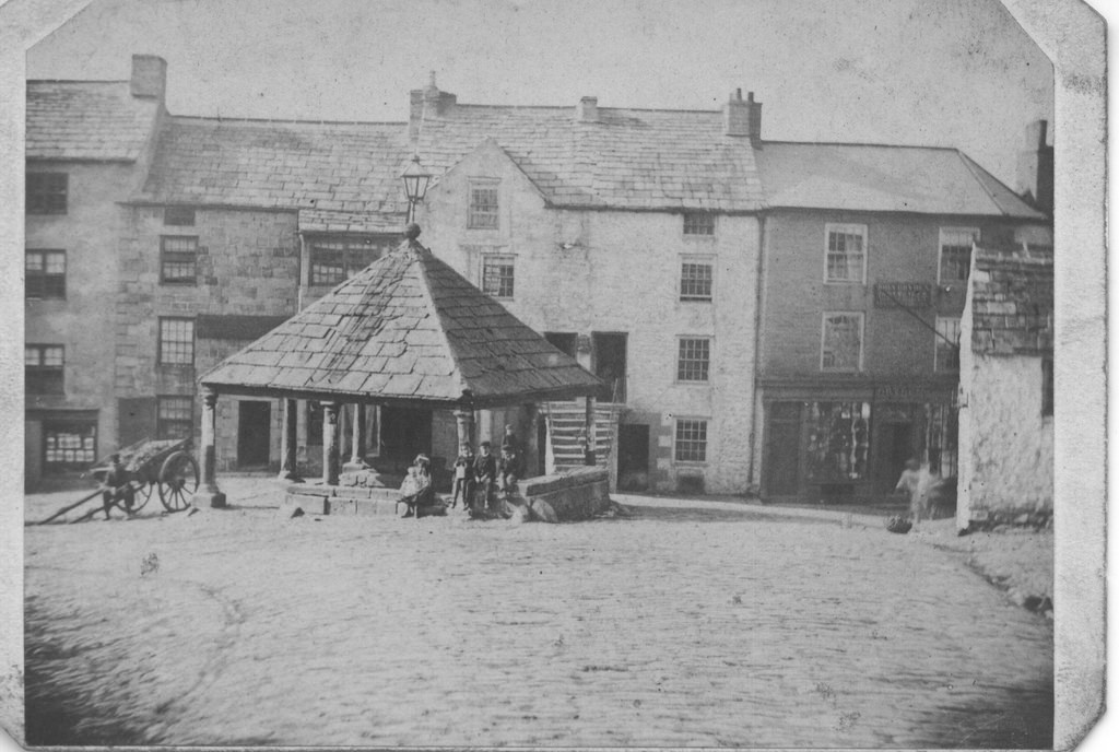
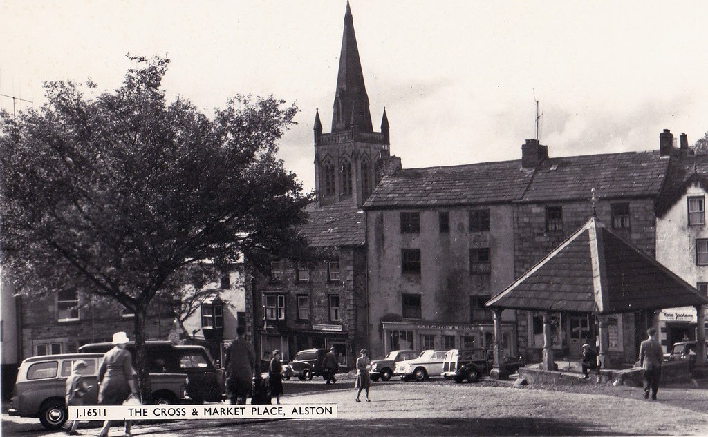
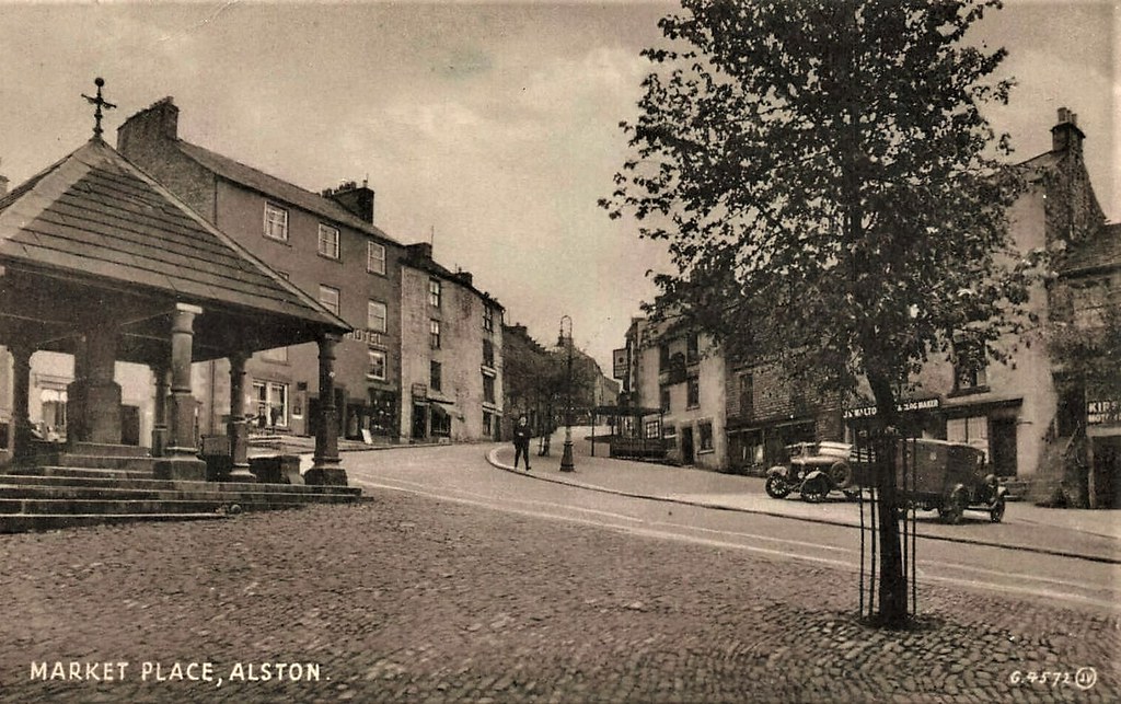
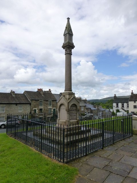
Market cross
Although the town does not hold a regular market it still maintains the legal right to do so. The market cross, which acts as a focal point in the centre of town, was constructed in 1981 to replace one which was demolished by a wagon in January 1980. That earlier cross had itself replaced a cross of 1883 which was knocked down by a lorry in 1968.
A regular producers' market now takes place in the town hall from April to September selling food and crafts produced in Cumberland, Northumberland and County Durham, celebrating Alston's position at the crux of these three counties.
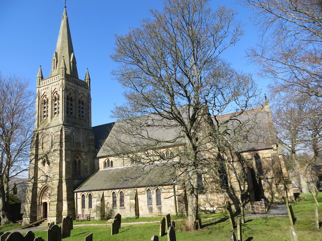
St Augustine of Canterbury Church
The parish church was built in 1869 on the site of two earlier churches. The church spire was only completed in 1886. A unique item in the church is a clock which belonged to James Radclyffe, 3rd Earl of Derwentwater, who was beheaded for treason. It is believed to be of 16th-century origin, and was restored in 1978.
One of the church bells which was cast in 1714 also belonged to the Earl of Derwentwater. It was installed in the previous church of 1770. Four of the bells were installed in memory of Andrew Graham Stewart Steele, churchwarden from 1943 until his murder in the Midland Bank on 13 September 1949. The bells cannot be pealed as the tower is not strong enough, but they are struck by a clapper.
Nent Force level
During the area's peak of prosperity in 1776 John Smeaton began construction of an underground drain (the "Nent Force Level") to de-water the mines of the Nent Valley and assist with the transport of extracted materials as well as to locate new mineral seams. The canal took 66 years to construct at a cost of £80,000, and became known as "Smeaton's Folly". In the 1830s mine manager and engineer said that it could be visited "in boats 30 feet in length, which are propelled in four feet of water by means of sticks projecting from the sides of the level; and thus may be enjoyed the singular novelty of sailing a few miles underground". It was intended to be 9 feet square but in the softer terrain was extended to 9'×16', dead level for to allow boat use, with a rise of 35 fathoms ( at Lovelady Shield and then driven into the Nenthead ground. The amount of ore found was disappointing, though not insignificant.
Access to the Nent Force Level is currently extremely difficult although efforts have been made to develop a heritage centre to make this extraordinary piece of engineering accessible to the public.
Samuel King's School
As well as having a primary school, the town is host to England's smallest secondary school (an 11–16 comprehensive), Samuel King's School. Samuel King's serves the local communities such as Nenthead and Garrigill. Alston Moor has a second small primary school at Nenthead.
Alston in the media
Filming locations
Front Street and the Market Cross of the town were used as filming locations in an adaptation of Jane Eyre. The town was also adapted to resemble a seaside village where Oliver is born for the ITV TV mini series Oliver Twist.
The League of Gentlemen
The fictional town of Royston Vasey, the setting of the TV comedy series The League of Gentlemen, is based on Alston.
2005: Alston in crisis?
In August 2005, Alston made news regarding the town's apparent lack of women, with a claimed ratio of 10 men to every woman in the town. A group of young men from Alston, led by Vince Peart, set up the "Alston Moor Regeneration Society" to persuade women to come to Alston. Articles appeared in the Daily Telegraph, The Guardian and the BBC. A documentary was shown on Channel 4 on 11 October 2006. More than two years later, the Guardian reported that Alston shared first position with Bere Alston in Devon in the top 10 list of places in Britain where the imbalance was at its worst.
Transport
The area is stationed on a number of routes including the long−distance footpath the Pennine Way, and the Sea to Sea (C2C) Cycle Route.
Alston railway station was formerly the terminus of a branch line from Haltwhistle. The town's rail link to Haltwhistle was completed in 1852 by the Newcastle and Carlisle Railway Company. The closure of the line was decided in the Beeching Report in 1962, but closure was rejected due to lack of a direct road link. After a road was built, closure was again proposed in 1973 and the line closed on 1 May 1976. It was one of the last enacted closures of the Beeching Report (another being the Bridport branch line from Bridport to Maiden Newton in Dorset which closed in 1975).
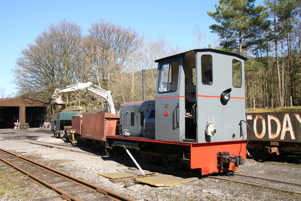
Part of the route, between Alston and Lintley, three miles in length, is now operated as the narrow gauge South Tynedale Railway. The railway is particularly popular with tourists and passenger trains operate between April and October, with Santa Special trains operating on certain dates in December each year.
Go North East operates two buses a day between Alston and Haltwhistle, where connections can be made to buses and trains to Carlisle and Newcastle. Wright Brothers Coaches operates an 82-mile bus route linking Newcastle with Keswick via Hexham, Haydon Bridge, Alston and Penrith from July to September each year. There are term-time bus services to Carlisle primarily for college students. A summary of local bus services can be found on this Cumbria County Council page.
Visit the page: Alston, Cumbria for references and further details. You can contribute to this article on Wikipedia.
from IllustratedChronicles (flickr)
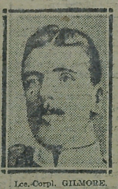
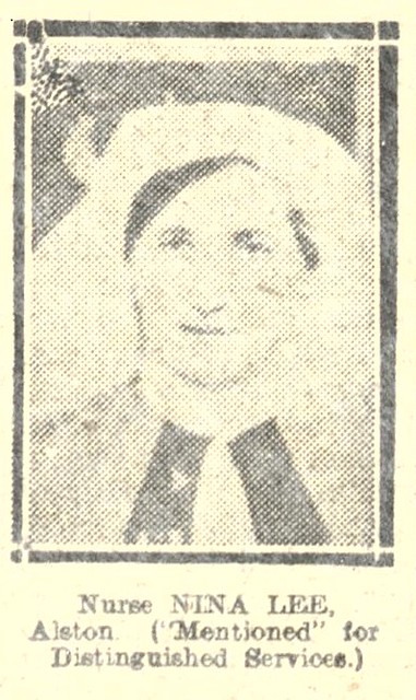
Patrick Gilmore - 2nd Border Regt - Alston (mentioned in despatches)
Pinned by Edmund Anon

from Flickr (flickr)
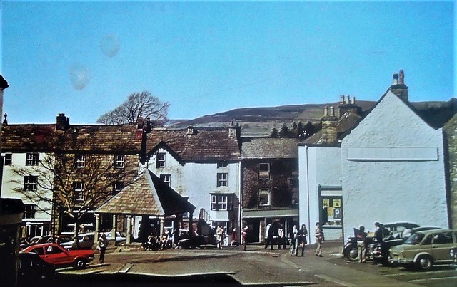
POSTCARD MAIN STREET AND MARKET ALSTON LATE 1960S EARLY 1970S UNPOSTED
Pinned by Simon Cotterill
from https://alstonmoorhistoricals…
Story No 51: The Evolution of the town of Alston
- ".... there has probably been a church on the site of St. Augustine’s since before the middle of the twelfth century, when King Henry II gave his ‘clerk’ Galfrid to …
Added by
Edmund Anon
Co-Curate Page
Raise Hamlet
- Overview Map Street View Raise is located on the west side of the River South Tyne next to Alston, which is on the east side of the river. It is …


from IllustratedChronicles (flickr)
Patrick Gilmore - 2nd Border Regt - Alston (mentioned in despatches)
Pinned by Edmund Anon
from Flickr (flickr)
POSTCARD MAIN STREET AND MARKET ALSTON LATE 1960S EARLY 1970S UNPOSTED
Pinned by Simon Cotterill
from https://alstonmoorhistoricals…
Story No 51: The Evolution of the town of Alston
- ".... there has probably been a church on the site of St. Augustine’s since before the middle of the twelfth century, when King Henry II gave his ‘clerk’ Galfrid to …
Added by
Edmund Anon
Co-Curate Page
Raise Hamlet
- Overview Map Street View Raise is located on the west side of the River South Tyne next to Alston, which is on the east side of the river. It is …
Windermere

Westmorland and Furness
Alston at War
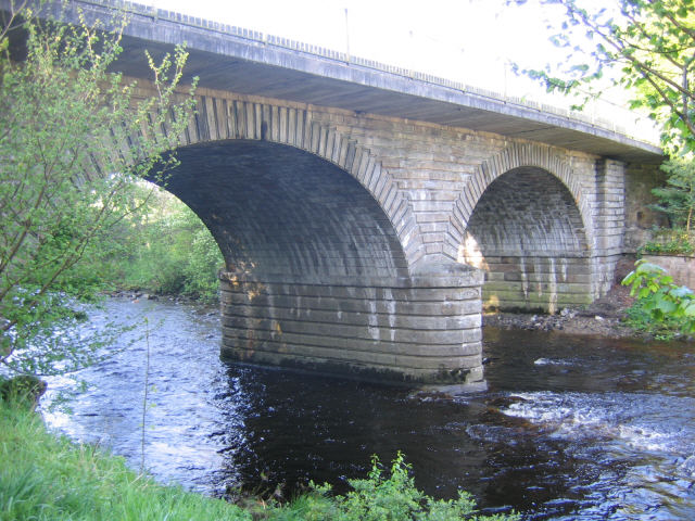
Alston Bridge over the South Tyne

Alston Conservation Area
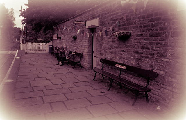
Alston Station
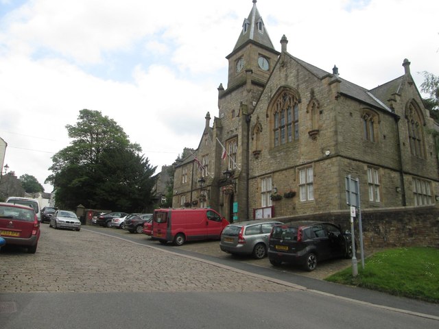
Alston Town Hall
Church of St Augustine, Alston
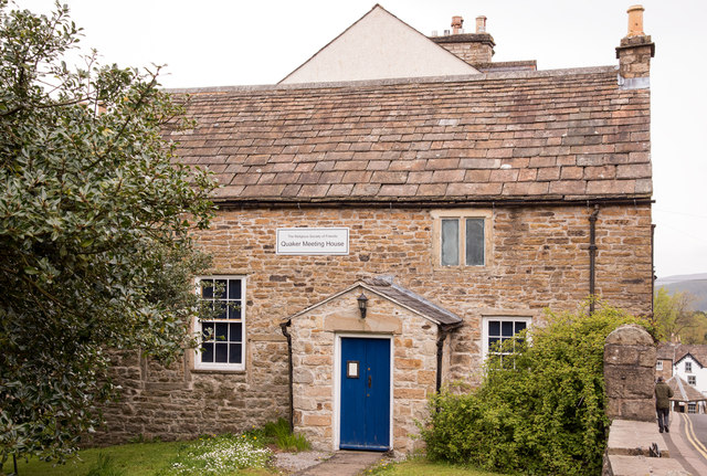
Friends Meeting House, Alston

Gossipgate Bridge, Alston
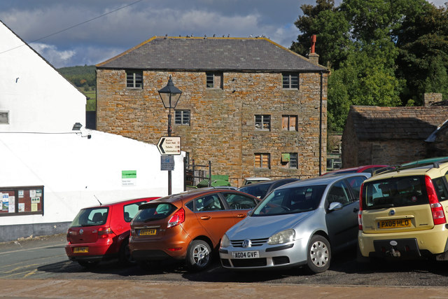
High Mill, Alston
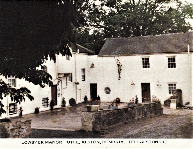
Lowbyer Manor Country House, Alston
Market Cross, Alston
Mill Burn, Mill Races and Fairfield Dam
Old Brewery, Alston
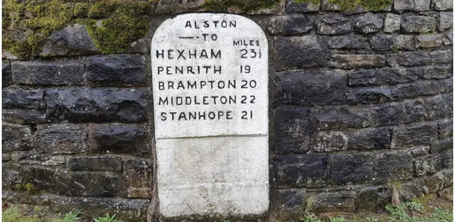
Old Milestone near Alston Town Hall
Old Tollhouse, A686
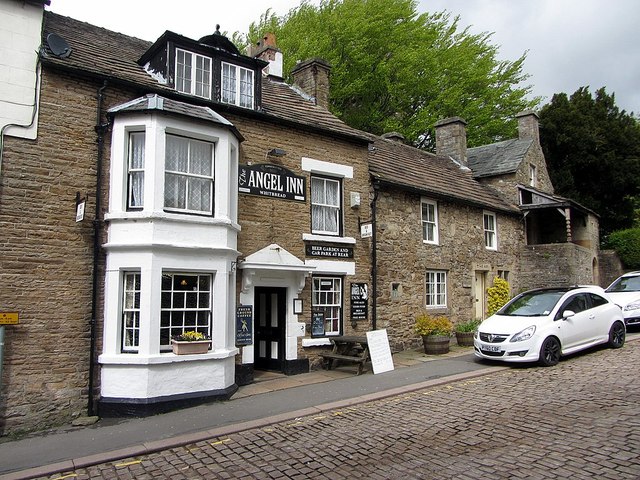
The Angel Inn, Alston
Walton Monument, Alston
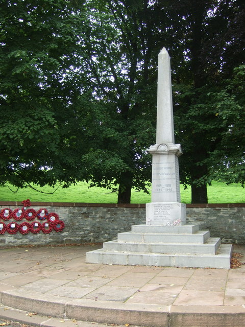
War Memorial, Alston