Topics > Cumbria > St Helens

St Helens


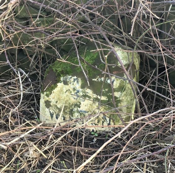
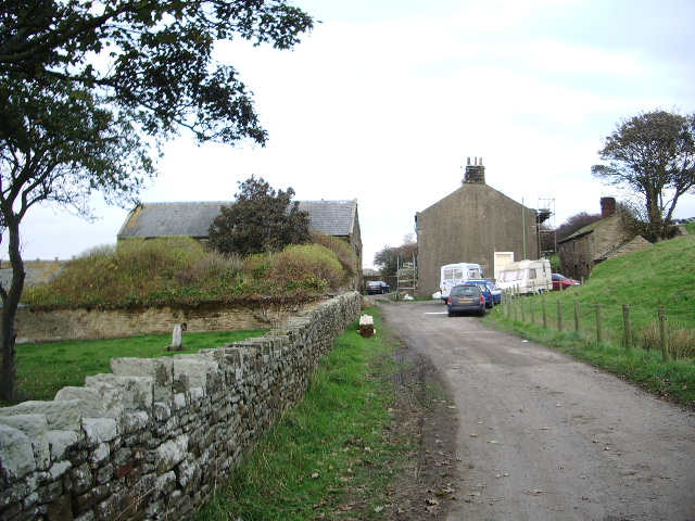
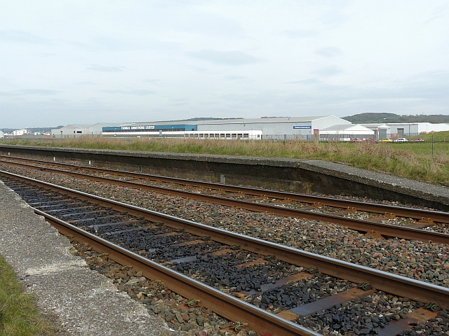
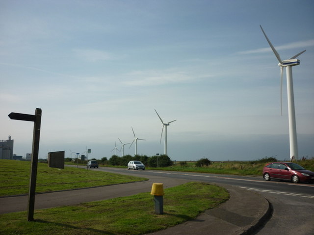
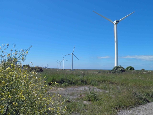
St Helens is located north of Workington and south of Maryport, by the coast in Cumbria. There is a farm here, industrial units and a wind farm. No.2 pit of St Helen's Colliery was located nearby. There were also brickworks associated with the colliery. The lower seams of No. 2 pit were flooded during the national stoppage in 1921 and the pit never reopened, though No. 3 pit, near Siddick, was in operation up to 1966. A railway halt associated with No. 2 pit can still be seen. St Helens falls within Seaton Civil Parish.

Cumbria Seaton Civil Parish Old Milestone, St Helens
from Geograph (geograph)
St Helens Farm

Pinned by Simon Cotterill
from Geograph (geograph)
St Helens Colliery Halt

Pinned by Simon Cotterill
from Geograph (geograph)
A finger post on St Helens (road)

Pinned by Simon Cotterill
from Geograph (geograph)
Wind farm St Helens form the coastal path

Pinned by Simon Cotterill
from http://www.dmm.org.uk/collier…
St. Helen's Colliery
- aka Siddick Colliery

Added by
Simon Cotterill

Comments

Add a comment or share a memory.

Login to add a comment. Sign-up if you don't already have an account.


ABOUT US

Co-Curate is a project which brings together online collections, museums, universities, schools and community groups to make and re-make stories and images from North East England and Cumbria. Co-Curate is a trans-disciplinary project that will open up 'official' museum and 'un-officia'l co-created community-based collections and archives through innovative collaborative approaches using social media and open archives/data.

LATEST SHARED RESOURCES