Topics > Castlerigg
Castlerigg
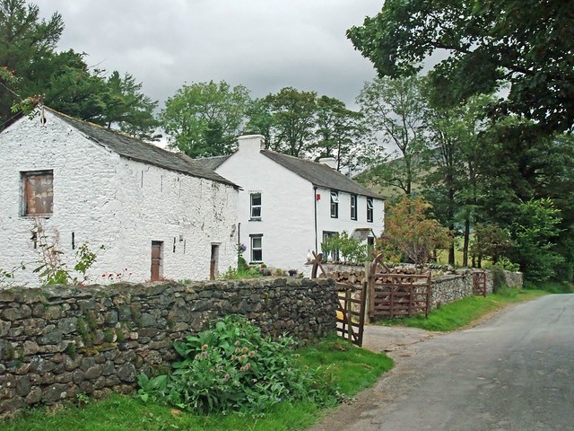
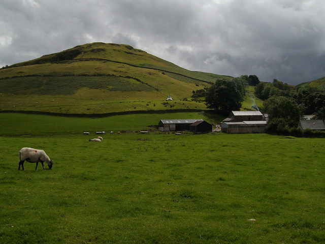
Castlerigg is a hamlet in Cumbria, located close to the eastern outskirts of Keswick. There are a number of residences clustered around Castlerigg Hall Farm, with associated campsite, plus a few outlying farms and cottages. Castlerigg Stone Circle is located just under a mile to the north-east of Castlerigg Hall Farm.
Co-Curate Page
Castlerigg Stone Circle
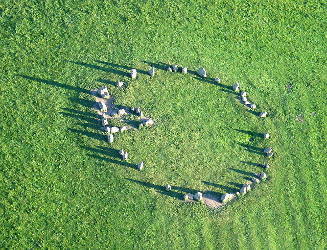
- Overview About Castlerigg Stone Circle Map Street View Castlerigg Stone Circle, located just over a mile east of Keswick, is one of the earliest stone circles in the UK, thought …
Co-Curate Page
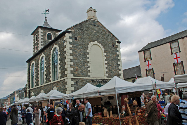
Keswick
- Overview About Keswick Map Street View Keswick is an historic market town in Cumbria, located in the Lake District National Park. The town is on the River Greta, and is …
Co-Curate Page
St John's Castlerigg and Wythburn Civil Parish
- Area: 72.3 km² 404 (2021 Census) 422 (2011 Census) 407 (2001 Census)

Co-Curate Page
Wythburn Chapelry, Historical Account, 1848
- Extract from: A Topographical Dictionary of England comprising the several counties, cities, boroughs, corporate and market towns, parishes, and townships..... 7th Edition, by Samuel Lewis, London, 1848. WYTHBURN, a chapelry, …

Co-Curate Page
Castlerigg Stone Circle
- Overview About Castlerigg Stone Circle Map Street View Castlerigg Stone Circle, located just over a mile east of Keswick, is one of the earliest stone circles in the UK, thought …
Co-Curate Page
Keswick
- Overview About Keswick Map Street View Keswick is an historic market town in Cumbria, located in the Lake District National Park. The town is on the River Greta, and is …
Co-Curate Page
St John's Castlerigg and Wythburn Civil Parish
- Area: 72.3 km² 404 (2021 Census) 422 (2011 Census) 407 (2001 Census)


