Topics > Northumberland > Gilsland
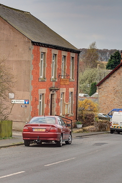
Gilsland
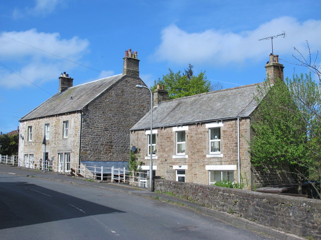
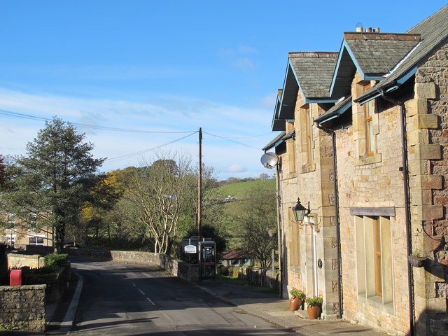
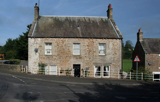
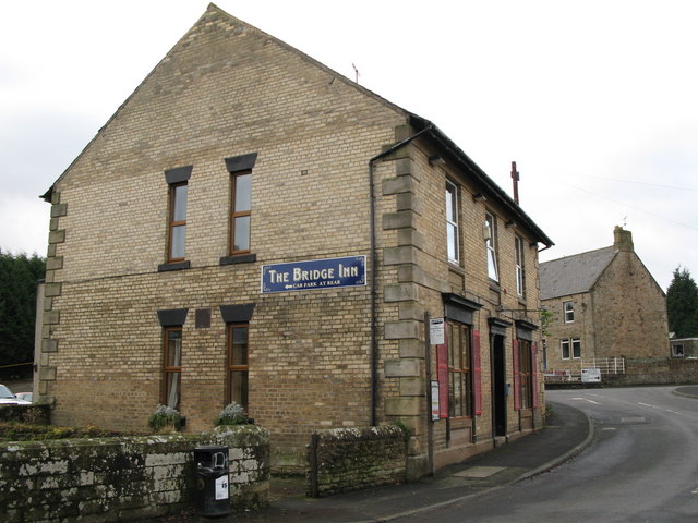
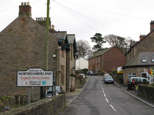
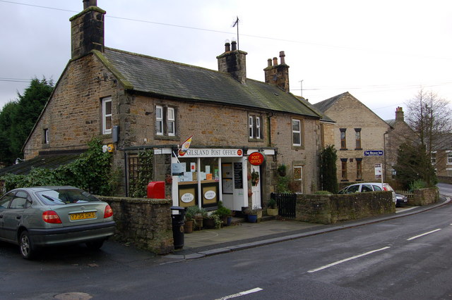
Gilsland is a village which straddles the border between the counties of Cumbria and Northumberland.
Gilsland is a village in northern England about 20 miles (32 km) west of Hexham, and about 18 miles (29 km) east of Carlisle, which straddles the border between Cumbria and Northumberland. The village provides an amenity centre for visitors touring Hadrian's Wall and other features of historical interest in this area of rugged Border country, popularised by the Romantic novelist Sir Walter Scott.
This unusual arrangement, incorporating two county councils and three civil parish councils, is due to the gradual amalgamation of hamlets during the 19th century. It has a population of about 400, most of whom live on the Northumberland side of the River Irthing and Poltross Burn.
History
As in most areas of Britain, Bronze-Age and Iron-Age settlement in Northumberland is represented by cup and ring marked stones, standing stones and hill forts, though few such monuments, with the possible exception of the Popping Stone, have been found near Gilsland. Recent field walking activities by a local archaeology group have produced flint artefacts dated to the Bronze Age and Neolithic. The evident antiquity of the civil parish boundaries may also be traceable to the Iron Age.
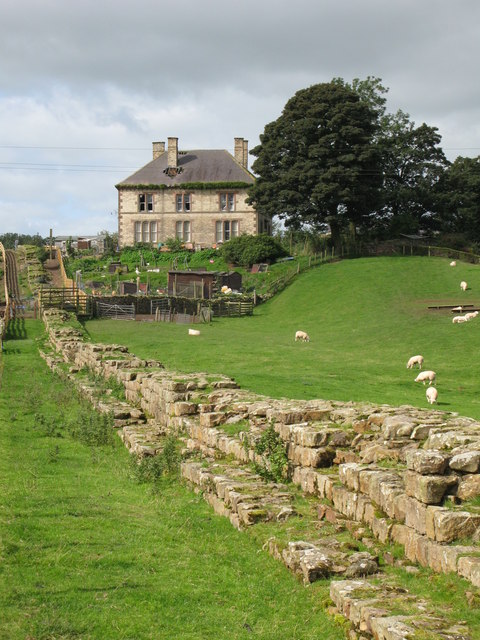
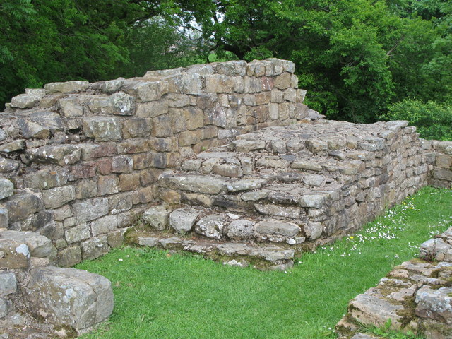
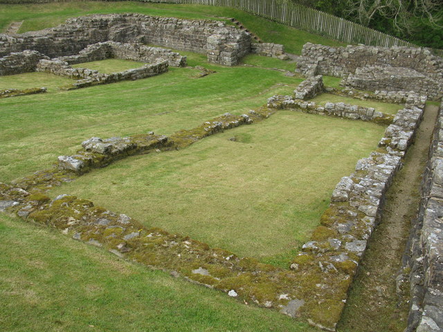
Gilsland is situated upon Hadrian's Wall, a noted monument constructed by the Roman army in the early part of the second century AD and lately dignified by inclusion as a World Heritage Site. Consequently, a superficial layer of Romano-British remains, remarkable chiefly for their quantity, is strewn across the surrounding landscape and dominates archaeological writings on the region, no doubt due to the classicist thrall under which early (and some later) archaeologists worked, the ease with which Roman artefacts can be found and the relative lack of original research since 1900. Prominent remains of military structures form tourist attractions, the focus being almost entirely on their stone-built phases, most having been repeatedly re-constructed in turf & timber. The Wall itself was initially of turf from a point to the west of Gilsland, but was eventually replaced in stone.
After the Romano-British interlude, paralleled perhaps by the effects of the British Raj in India, native populations went back to the business of creating the political entities we recognise and value today. Place-names give evidence of Scandinavian and Germanic influence during the so-called Dark Ages, but whether this influence was accompanied by mass-migration is currently debated by historians.
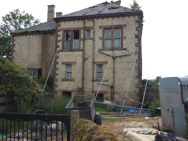
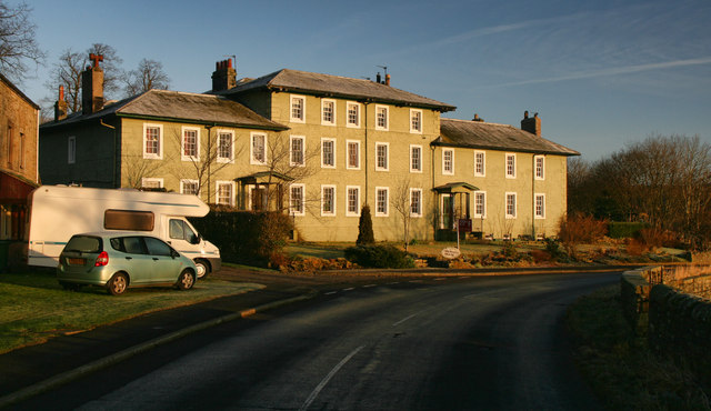
During the 12th century the area now known as Cumbria passed from the control of the Kingdom of Strathclyde to the Norman King Henry II. This region was subdivided into baronies, the easternmost of which became the Barony of Gilsland, apparently named after an individual, although sporadic speculation by historians has failed to conclusively identitify him. This barony was famously ruled by William Howard during the 16/17th century and stretched from Carlisle to the present-day village of Gilsland. Gilsland Spa, a locally renowned mineral spring, was named from the Barony and the name was transferred from there to the village, although most of the population live on the Northumberland side, outside the original borders of the Barony.
The ancient kingdoms of Strathclyde and Northumbria were eventually subsumed into what we now know as Scotland and England, but for most of the later mediaeval period the Borders suffered instability and lawlessness due to their mutual antipathy and the indeterminate nature of the border. There have been many valiant attempts to romanticise the assumed incessant violence, starting with Sir Walter Scott and continuing to the 21st century farrago of Hexham Old Gaol.
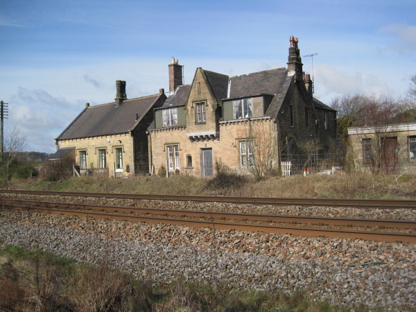
As soon as the area was definitively pacified, with the Union of the Crowns and the suppression of the 1745 Jacobite rebellion, economic activity rapidly increased. The original Gilsland Spa hotel was built in the 1760s, was already a popular summer resort by the 1780s and went on to provide a nucleus for the accumulation of guest-houses we now recognise as Gilsland. The opening of a railway station in 1836 led to a boom in tourism. In the 1860s the name of the station was changed from Rose Hill to Gilsland, and residents of Rosehill, Mumpshall, Crooks, The Gap and surrounding farms and hamlets were invited to think of themselves as a single village, the name having been derived from the surrounding Barony of Gilsland.
Present
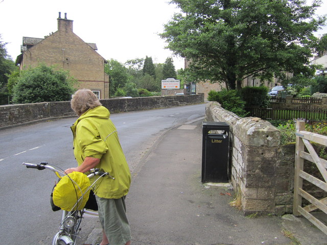
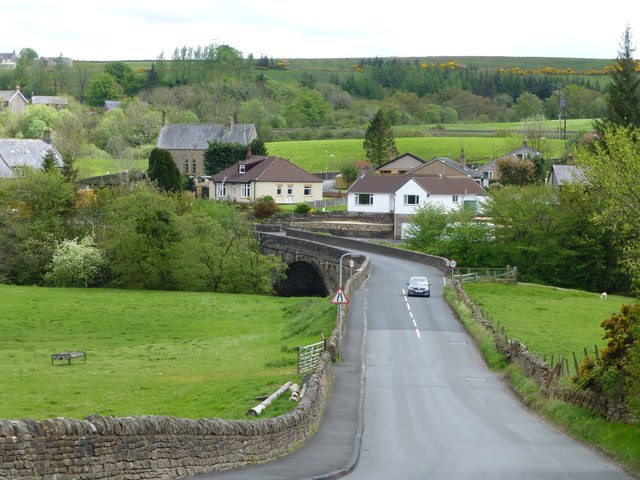
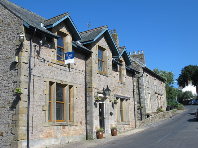
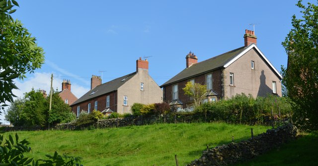
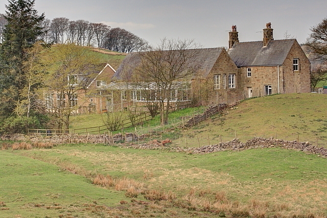
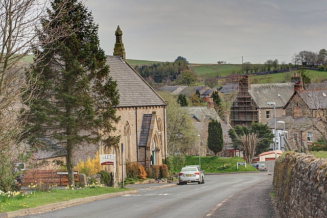
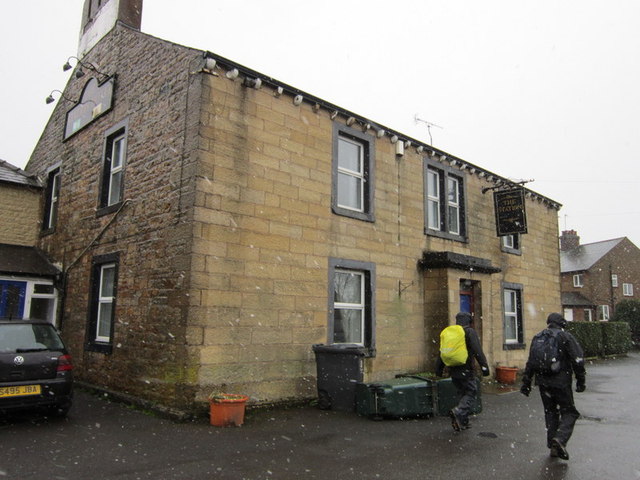
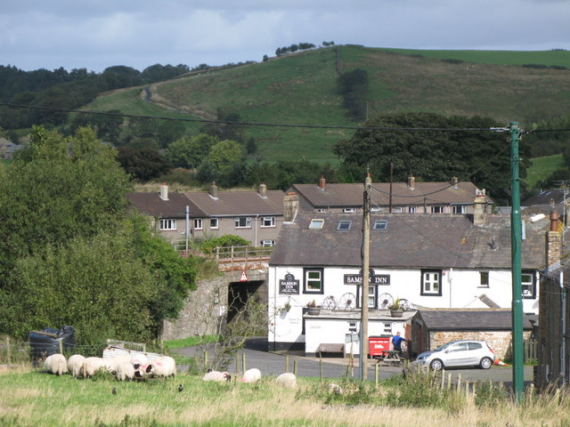
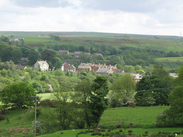
Today the village is somewhat isolated, as it always has been, with large tracts of forestry and high ground – laced with popular public footpaths, cycle trails and bridleways – to the north and south. The A69 east-west trunk road runs nearby, providing access to Hexham and Carlisle within half-an-hour by car, or the closer small towns of Haltwhistle and Brampton in minutes. Bus services are plentiful from Easter to October with the AD122 service (a reference to the date Hadrian commenced the wall) running every 2 hours. In the winter months Gilsland is less well served by bus services, and the railway station has been closed for many years but there is now a campaign to reopen it. Following cuts by Carlisle City Council the village has had a further 2 buses, owned by Arriva and Stagecoach, removed from the bus schedule and only 2 buses a day are now guaranteed.
In the recent past, several small coalmines operated nearby, but occupation has mainly been in farming and building trades, also haulage, and a white-lining business is located in the village. Funding is currently being invested in the development and promotion of the area for tourism, and residents are increasingly offering flourishing 4 and 5-star rated B&B and Guest House accommodation. Some 100 local people earn part or whole of their living from tourism. Hadrian's Wall Heritage Limited – the body charged with maintaining the World Heritage Site corridor – estimate that visitor numbers (already circa 400,000 per annum) are set to rise 8% per annum over the next 3 years, which could be problematical, considering that current numbers are already causing damage to the main attraction.
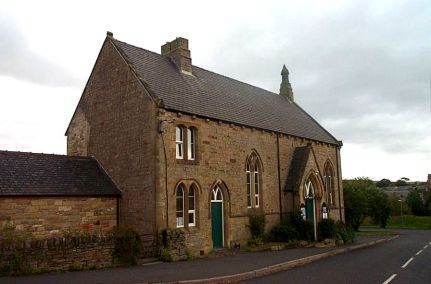
Landmarks
- Gilsland Spa, known in the past for its sulphurous spa waters, is close by.
- Milecastle 48 Fort of Hadrian's Wall, known locally as The King's Stables, is situated on the outskirts of Gilsland.
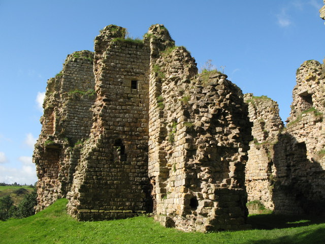
- Triermain Castle, fragmentary remains dating from the 14th century, lies 3 miles west of Gilsland.
- Thirlwall Castle A picturesque ruin of a mediaeval castle, is two miles to the east.
from Geograph (geograph)
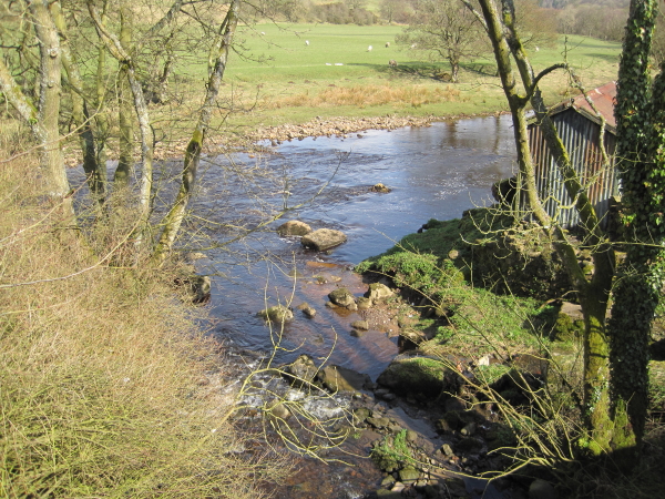
Confluence of the Poltross Burn and the River Irthing
Pinned by Simon Cotterill
Co-Curate Page
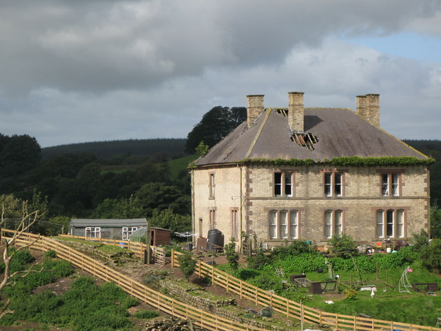
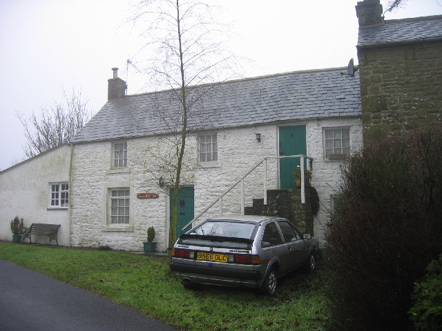
Gilsland Spa
- Overview Map Street View Gilsland Spa is a hamlet situated by a bend in the River Irthing in Cumbria, located by the county border about ¾ mile north of Gilsland, …

from Geograph (geograph)
Confluence of the Poltross Burn and the River Irthing
Pinned by Simon Cotterill