Topics > Ulverston > Sandside, Ulverston
Sandside, Ulverston
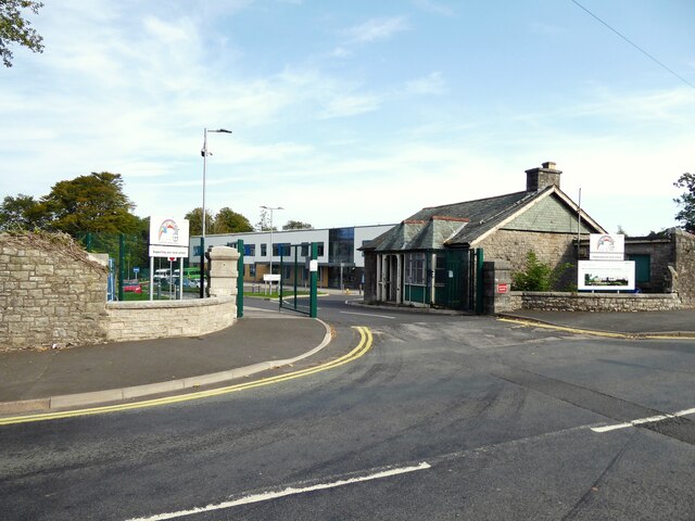
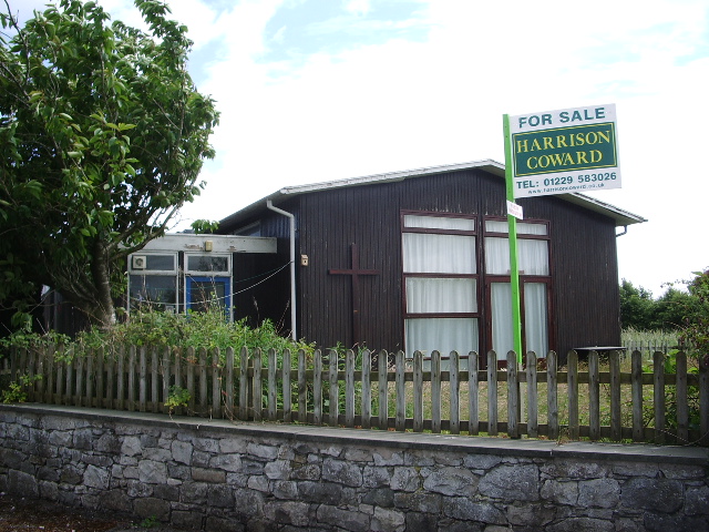
Sandside is an area to the east of Ulverston. It was a separate settlement, now effectively subsumed into Ulverston. Sandside Road runs south-east through Ulverston out towards the estuary of the River Leven. The Mission church of St Jude at Sandside was a corrugated iron church built in 1874; the church closed in 2006. A mixed school was built at Sandside in 1885; the school closed in 1963 and pupils were transferred to Lightburn School. Sandside school was reopened in 1964 as special school - the building was demolished in 1997 and replaced by a new building nearby, now Sandside Lodge School.[1]
from Geograph (geograph)
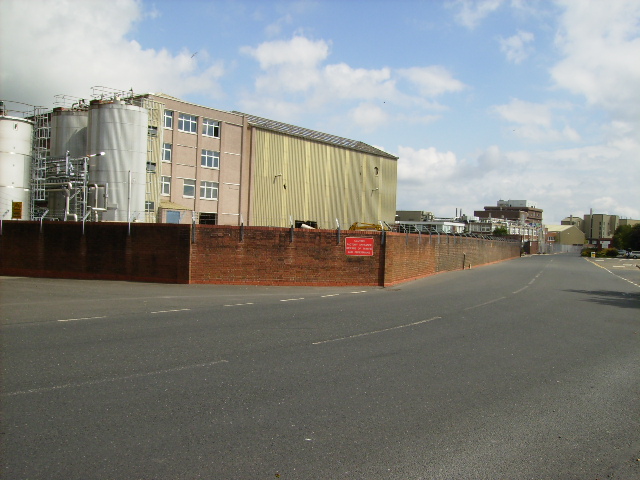
The Glaxo-Smithcline plant on the outskirts of Ulverston
Pinned by Simon Cotterill

from Geograph (geograph)
The Glaxo-Smithcline plant on the outskirts of Ulverston
Pinned by Simon Cotterill