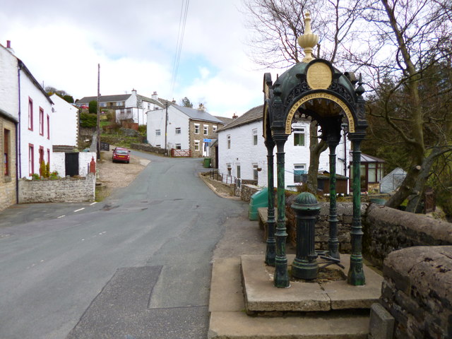
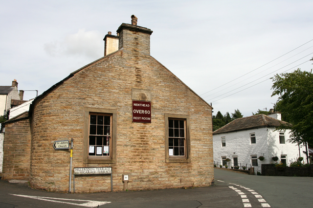
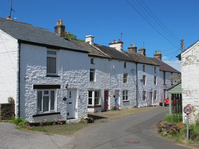
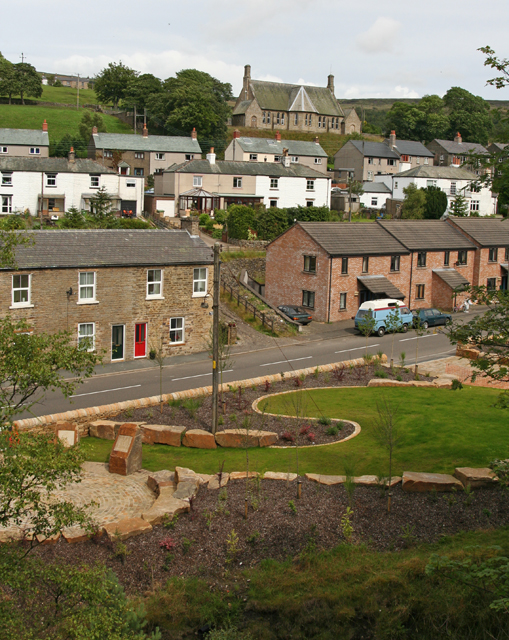
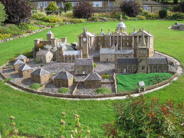
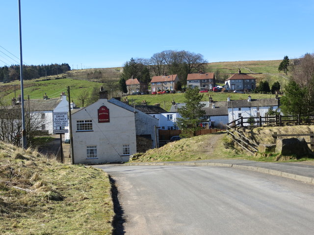
Nenthead
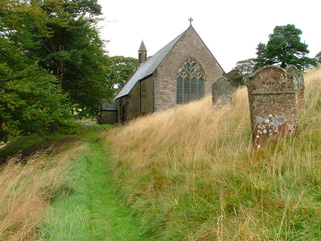
NENT-HEAD, a hamlet, in the parish and union of Alston, Leath ward, E. division of Cumberland, 4¼ miles (E.S.E.) from Alston. It takes its name from its situation near the source of the river Nent, and is principally inhabited by persons employed in the leadworks and smelting-houses of the London Lead Company, whose mines are in the immediate neighbourhood. A market is held on Thursday, chiefly for provisions; and commodious shambles have been erected, with a market-house surmounted by a neat turret. Here is a church dedicated to St. John, with a chapelry district attached: the living is in the gift of the Vicar. The Wesleyans and Primitive Methodists have places of worship.
Extract from: A Topographical Dictionary of England comprising the several counties, cities, boroughs, corporate and market towns, parishes, and townships..... 7th Edition, by Samuel Lewis, London, 1848.
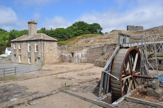
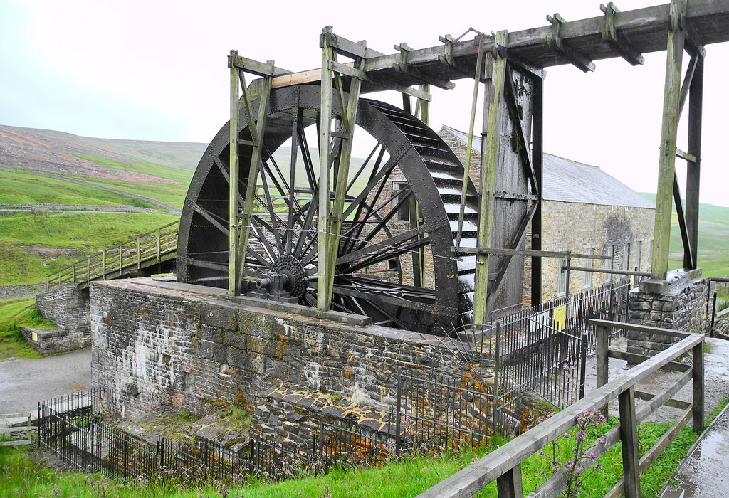
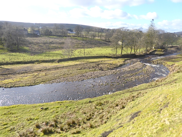
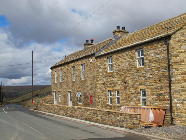
The small village of Nenthead in the county of Cumbria is one of England's highest villages, at around 1,500 feet (457 m). It was not built until the middle of the 18th century and was one of the earliest purpose-built industrial villages in Britain. Nenthead was a major centre for lead and silver mining in the North Pennines of Britain. The first smelt mill was built at Nenthead in 1737 by George Liddle, and this was subsequently expanded by the London Lead Company. By 1882 the smelt mill was capable of smelting 8,000 bings, i.e., 64,000 long hundredweight (3,300 t), of ore per annum.
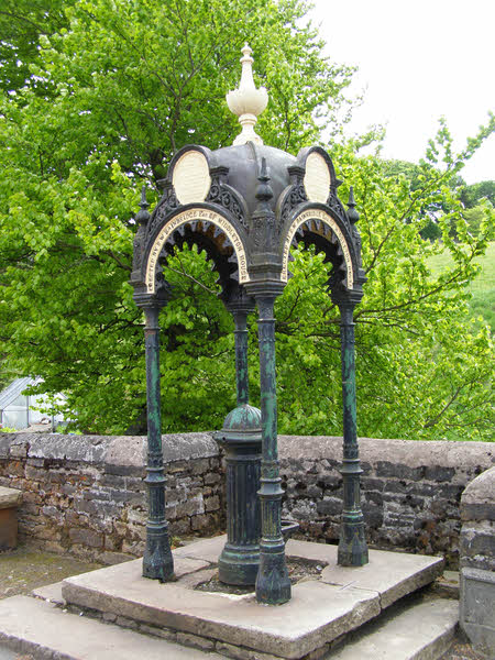
Nenthead in 1861 was a bustling village of some 2,000 people, mostly Methodist and employed by the Quaker-owned London Lead Company in the Nenthead Mines - some of the most productive in the country. The benevolent Quakers built, amongst other things, housing, a school, a reading room, public baths and a wash-house for the miners and their families. Nenthead was the first village in the UK to have electric street lighting from excess power generated by the mines.
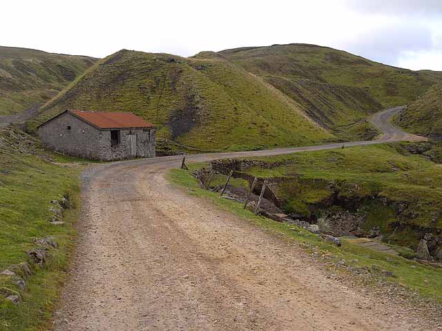
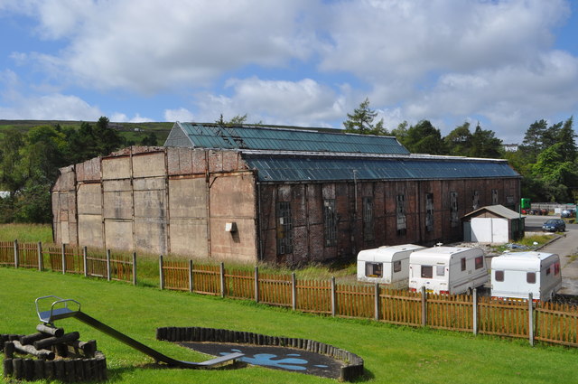
For many mine explorers Nenthead is a mecca as many miles of accessible mines remain. It features some of the most stunning mines in the country with several horse whims and a engine shaft in Rampghill. The mines closed in 1961 and there is a heritage centre displaying their history.
The economy of the village relies on tourism and it is the headquarters of Wright Bro’s Coaches Limited a bus & coach operator. England's most popular long distance cycle route, the C2C, passes through Nenthead.
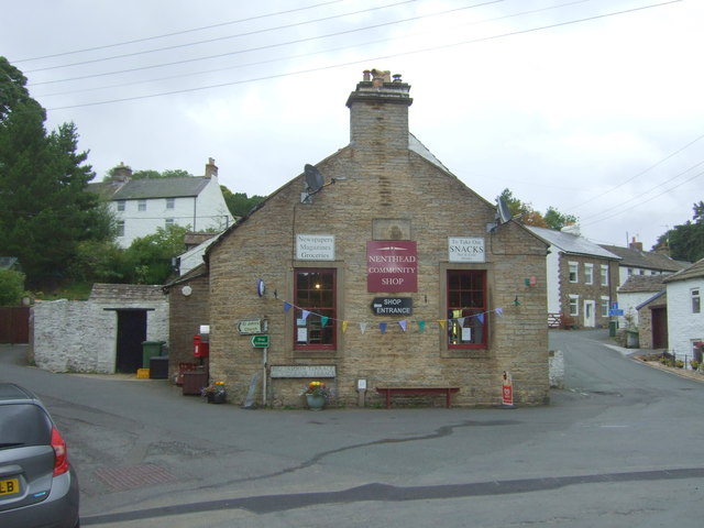
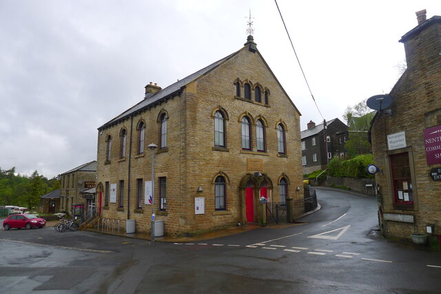
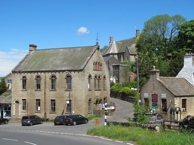
The Grade II listed Wesleyan Methodist chapel has not been used since 2002 but a recent Heritage Lottery Grant of £134,500 has raised hopes of it becoming a cafe and community hub. The post office and community shop occupies the building which was once a reading room for the miners.
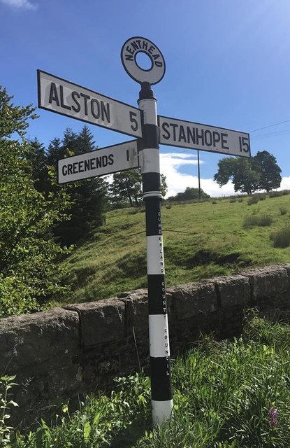
Nenthead is around east of Alston, west of Newcastle upon Tyne, south east of Carlisle, east of Penrith, and east of Hexham.
County Council subsidies have maintained limited bus services for the village to Alston and beyond. However, in 2014 cuts to these subsidies were being discussed, threatening the existence of bus services for the village.
Governance
Nenthead is in the parliamentary constituency of Penrith and the Border. Neil Hudson was elected its Conservative Member of Parliament at the 2019 General Election, replacing Rory Stewart.
For the European Parliament its residents vote to elect MEP's for the North West England constituency.
For Local Government purposes it is in the Alston Moor Ward of Eden District Council and the Alston and East Fellside Ward of Cumbria County Council.
Nenthead does not have its own parish council, instead it is part of Alston Moor Parish Council.
Zinc deposits
In 2013 the Canadian mining company Minco sank deep boreholes in an effort to discover the extent of zinc deposits beneath Nenthead. Although test drilling could go on for several years, the company believes that the village may be sited on huge deposits of the chemical element. The zinc is below the surface and was previously too deep to reach by old mining techniques.
Climate
Owing to its northerly latitude of 55° N and altitude of 437 m AMSL, Nenthead yields one of the coldest, and likewise snowiest climates in England.
from IllustratedChronicles (flickr)
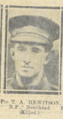
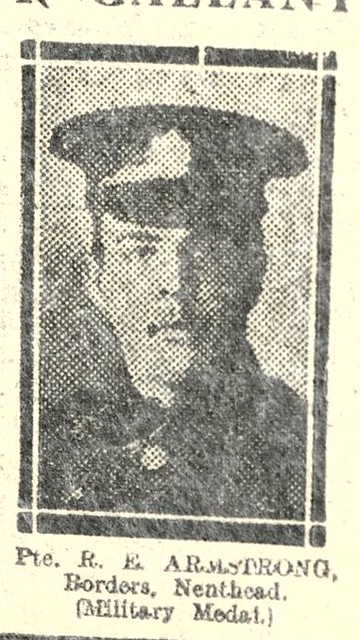
Pte. R.E. ARMSTRONG, Borders, Nenthead, (Awarded Military Medal).
Pinned by Simon Cotterill
Co-Curate Page
Nentsberry
- Overview Map Street View Nentsberry is a distributed hamlet in the Eden district of Cumbria, located about 3 miles south east of Alston. It is on the A689 road, between …
Co-Curate Page
Overwater, Nenthead
- Overview Map Street View Overwater is a hamlet located to the west of the River Nent, immediately opposite Nenthead.

from IllustratedChronicles (flickr)
Pte. R.E. ARMSTRONG, Borders, Nenthead, (Awarded Military Medal).
Pinned by Simon Cotterill
Co-Curate Page
Nentsberry
- Overview Map Street View Nentsberry is a distributed hamlet in the Eden district of Cumbria, located about 3 miles south east of Alston. It is on the A689 road, between …