

Welcome to Co-Curate
A curated collection of over 100,000 photos, videos & resources related to the North East of England and Cumbria.
Over 15,000 pages: Browse Topics | Places | Years | Museums & Galleries | WW1 | more...
Co-Curate brings together online collections, museums, universities, schools and community to make and re-make stories and images from North East England and Cumbria.
![]() County Durham
County Durham ![]() Northumberland
Northumberland ![]() Tees Valley
Tees Valley ![]() Tyne & Wear
Tyne & Wear ![]() Cumbria
Cumbria
On this Day in 1876
Swing Bridge - Newcastle / Gateshead

 The Swing Bridge over the River Tyne was first used for road traffic on 15th June 1876 and opened for river traffic on 17th July 1876. It had an innovative design, using hydraulic power to swing open and close. At the time of construction, it was the largest swing bridge ever built. The previous bridge on the site was demolished in 1866-8 so that larger ships could sail upstream to William Armstrong's Elswick works. Armstrong designed and paid for the new bridge.
View Related Timelines:
River Tyne 1870s 1876 Elswick Works - Vickers Armstrong Bridges Lord William Armstrong (1810-1900) Gateshead Newcastle upon Tyne Tyne Bridge
FEATURED

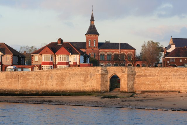
Harlepool Headland
The Headland Conservation Area includes both medieval and Victorian architecture. View the area and…... read more

MOST RECENTLY PINNED IMAGES

Parish in Focus: Bewick, Northumberland
The Civil Parish is the lowest tier of local government and many of the parishes in Northern England have boundaries and interesting histories relating to the ancient townships of long ago. Typically they have an enduring sense of place and community.
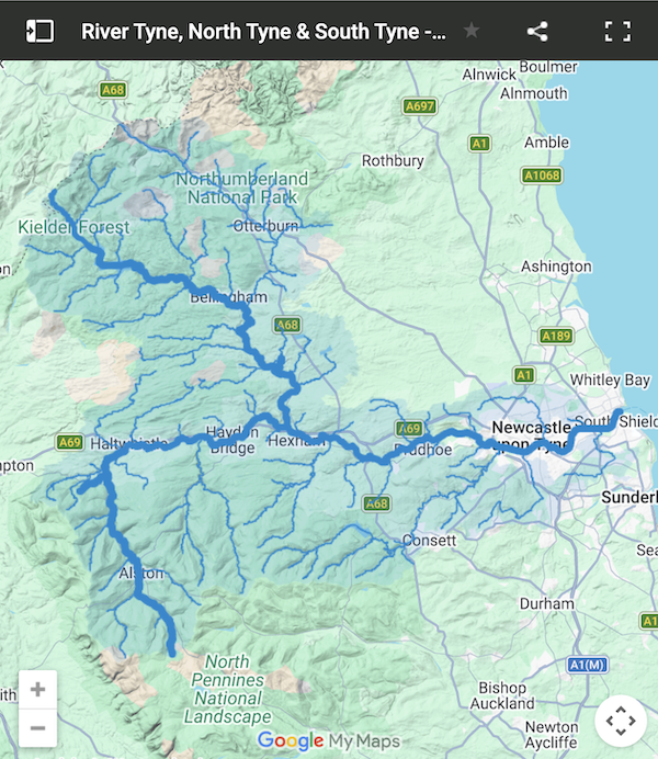
![]() Bewick is a civil parish in Northumberland, located about 10 miles north-west of Alnwick. It is sparsely populated, with the population mostly concentrated in the east side of the parish, in the hamlets of Old Bewick and New Bewick. The west of the parish includes the rugged terrain of Bewick Moor and hill ranges. It has several prehistoric sites, including Bronze Age cairns and Iron Age hillforts (see: historic sites). The River Breamish flows through the parish, and south of Bewick Bridge, it becomes known as the River Till.
Bewick is a civil parish in Northumberland, located about 10 miles north-west of Alnwick. It is sparsely populated, with the population mostly concentrated in the east side of the parish, in the hamlets of Old Bewick and New Bewick. The west of the parish includes the rugged terrain of Bewick Moor and hill ranges. It has several prehistoric sites, including Bronze Age cairns and Iron Age hillforts (see: historic sites). The River Breamish flows through the parish, and south of Bewick Bridge, it becomes known as the River Till.
 |
 |
|
|
|
 |
 |
|
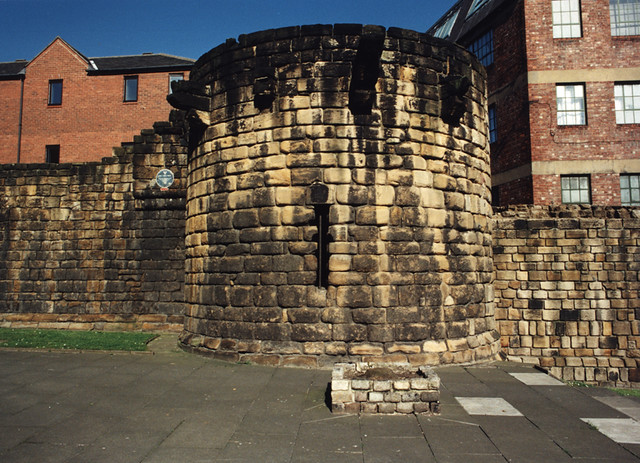
Historic Buildings and Monuments
|
|
Check out over 600 Civil Parish profiles on this site in: County Durham, Cumbria, Northumberland, and Tees Valley
Many of the metropoliton areas, particularly in Tyne and Wear, are unparished. However, there are a few in Newcastle.
JOIN IN
Get started by selecting your group below