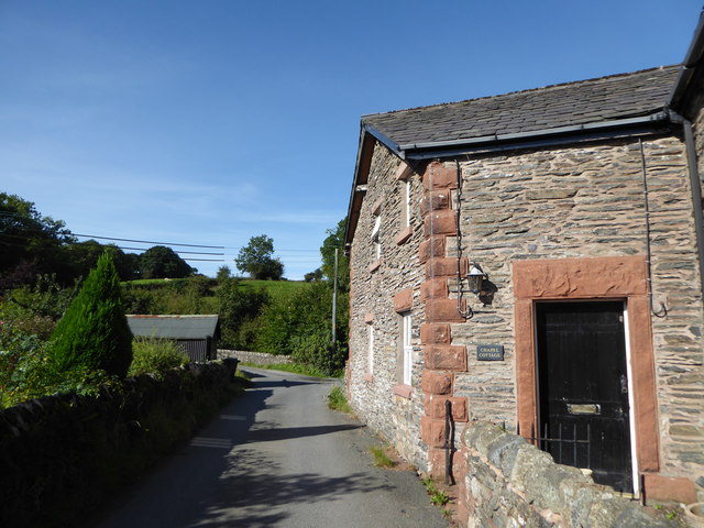
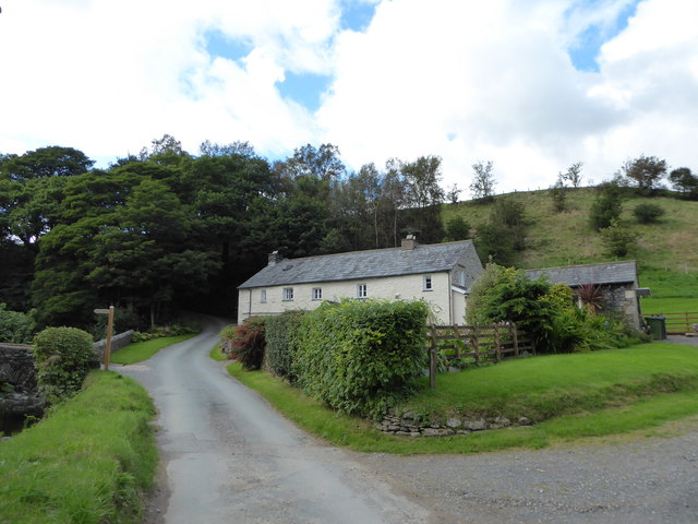
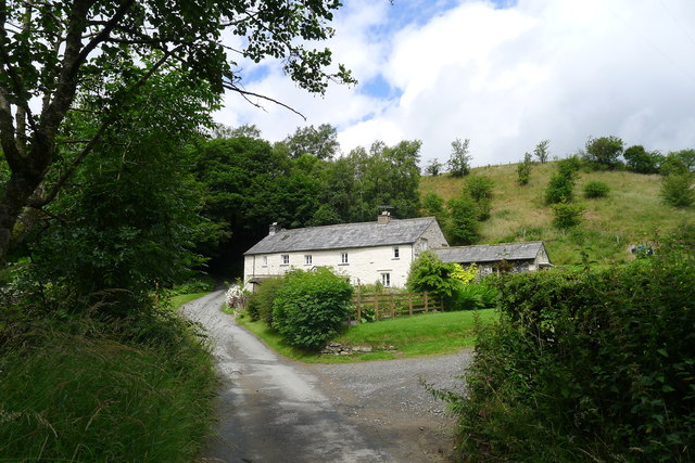
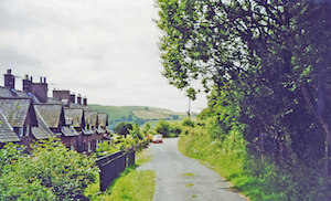
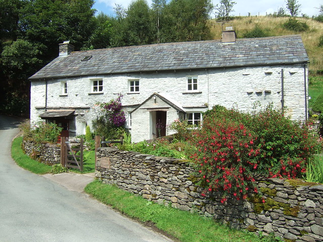
Beck Foot
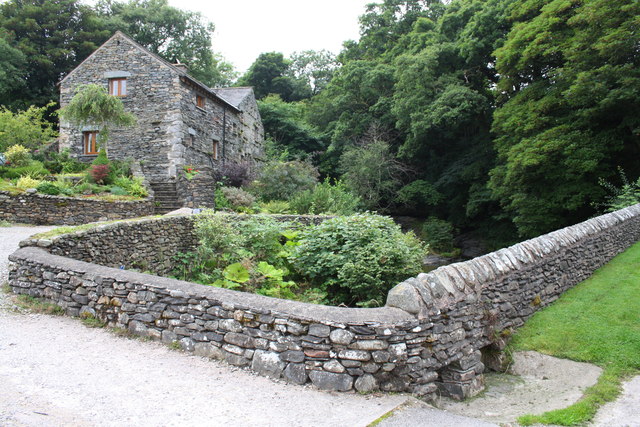
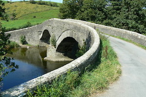
Beck Foot is a hamlet near Lowgill in Cumbria, located about 6 miles north-east of Kendal. Lowgill Viaduct crosses the beck, which gives the settlement it's name, and once carried the Ingleton Branch Line. By the viaduct is an old 17th century packhorse bridge over the beck, which flows about half a mile south-east before joining the River Lune near the Crook of Lune Bridge. Beck Foot is on the route of the Dales Way.

from Geograph (geograph)
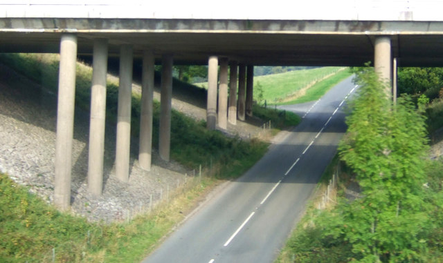
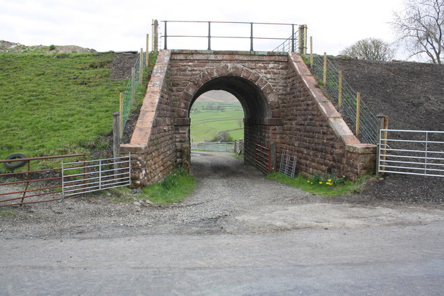
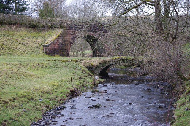
Bridge taking lifted railway over access road to Davy Bank
Pinned by Simon Cotterill
Co-Curate Page
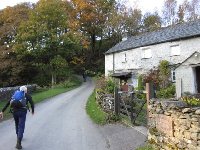
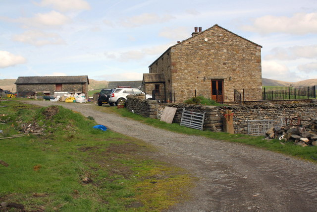
Lowgill
- Overview Map Street View Lowgill is a hamlet by the River Lune in Cumbria, located about 7 miles north-west of Kendal and 4 miles north-east of Sedbergh. Lowgill was an …
Co-Curate Page
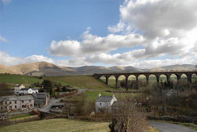
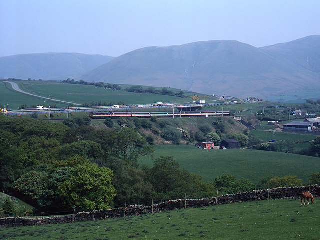
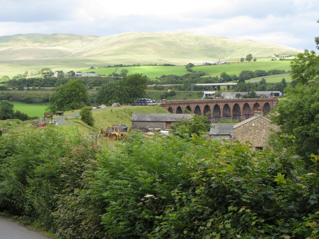
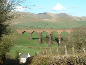
Lowgill Viaduct
- Overview Map Street View Lowgill Viaduct was built in 1859 by Joseph Locke and John Errington for the Ingleton Branch Line of the London and North Western Railway.[1] The 11 …

from https://www.cumbriacountyhist…
Dillicar
- "Township in Kendal parish, but in Lonsdale ward, Westmorland; includes hamlets of Lowgill and Beckfoot. Absorbed into Grayrigg CP 1986. Population:
rising from around 80 in early 19th century to …
Added by
Simon Cotterill

Co-Curate Page
Dillicar Township, 1848
- DILLIKER, a township, in the parish and union of Kendal, Lonsdale ward, county of Westmorland, 8½ miles (N.E. by E.) from Kendal; containing 85 inhabitants. It is bounded on the …

from Geograph (geograph)
Bridge taking lifted railway over access road to Davy Bank
Pinned by Simon Cotterill
Co-Curate Page
Lowgill
- Overview Map Street View Lowgill is a hamlet by the River Lune in Cumbria, located about 7 miles north-west of Kendal and 4 miles north-east of Sedbergh. Lowgill was an …
Co-Curate Page
Lowgill Viaduct
- Overview Map Street View Lowgill Viaduct was built in 1859 by Joseph Locke and John Errington for the Ingleton Branch Line of the London and North Western Railway.[1] The 11 …
from https://www.cumbriacountyhist…
Dillicar
- "Township in Kendal parish, but in Lonsdale ward, Westmorland; includes hamlets of Lowgill and Beckfoot. Absorbed into Grayrigg CP 1986. Population:
rising from around 80 in early 19th century to …
Added by
Simon Cotterill
Co-Curate Page
Dillicar Township, 1848
- DILLIKER, a township, in the parish and union of Kendal, Lonsdale ward, county of Westmorland, 8½ miles (N.E. by E.) from Kendal; containing 85 inhabitants. It is bounded on the …


County: Cumbria


