Topics > Rottington
Rottington
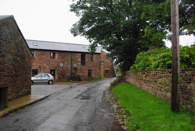
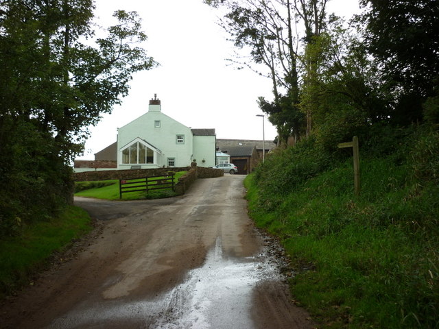
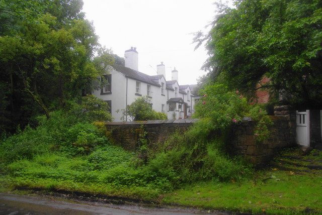
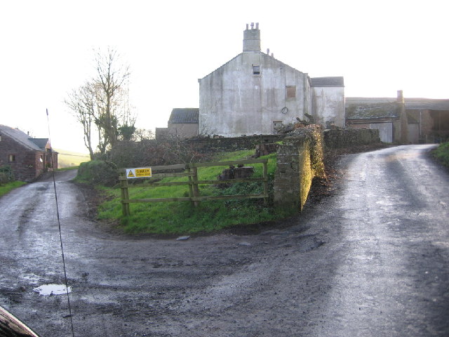
Rottington is a hamlet in the Copeland district of Cumbria, located near the coast and about 1 mile north-west of the village of St Bees and 3 miles south-west of Whitehaven. Historically, Rottington was a township in the ancient parish of St Bees within Cumberland. Following the Poor Law Amendment Act 1866, Rottington became a civil parish. The parish was enlarged by absorbing parts of Preston Quater CP and Sandworth CP, when they were abolished in 1934 (the larger parts of these being absorbed by Whitehaven). Then, in 1973, Rottington CP itself was abolished and the area is now part of St Bees Civil Parish.
ROTTINGTON, a township, in the parish of St. Bees, union of Whitehaven, Allerdale ward above Derwent, W. division of Cumberland, 3½ miles (S. by W.) from Whitehaven; with 52 inhabitants. Here was a small nunnery, subordinate to that of St. Bees.
Extract from: A Topographical Dictionary of England comprising the several counties, cities, boroughs, corporate and market towns, parishes, and townships..... 7th Edition, by Samuel Lewis, London, 1848.
Rottington is a hamlet and former civil parish 3 miles (4.8 km) from Whitehaven, now in the parish of St Bees, in the Copeland district, in the county of Cumbria, England. In 1961 the parish had a population of 92.
History
The name "Rottington" means 'Farm/settlement connected with Rot(t)a'. In 1762 the area became the property of Sir James Lowther. Rottington was a township in the parish of St Bees, in 1866 Rottington became a civil parish in its own right. On 1 April 1934 the parishes of Preston Quarter and Sandwith were merged into Rottington and Whitehaven. On 1 April 1974 the parish was abolished and merged with St Bees.
Visit the page: Rottington for references and further details. You can contribute to this article on Wikipedia.

from https://www.cumbriacountyhist…
Rottington
- "Township in St Bees parish, Allerdale above Derwent ward, Cumberland. CP enlarged by addition of parts of Preston Quarter and Sandwith CPs 1934. Absorbed into St Bees CP 1973...."
Added by
Simon Cotterill


from https://www.cumbriacountyhist…
Rottington
- "Township in St Bees parish, Allerdale above Derwent ward, Cumberland. CP enlarged by addition of parts of Preston Quarter and Sandwith CPs 1934. Absorbed into St Bees CP 1973...."
Added by
Simon Cotterill


