Nateby
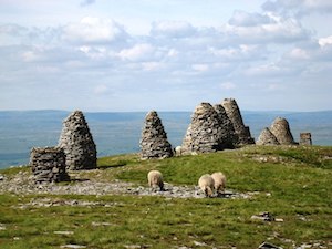
NATEBY, a township, in the parish of Kirkby Stephen, East ward and union, county of Westmorland, 1½ mile (S.) from Kirkby-Stephen; containing 108 inhabitants. The township consists of 2,075 acres, whereof 1,000 are waste or common. It is bounded on the west by the river Eden, which, flowing over a rocky bed, forms one of the greatest natural curiosities in the kingdom, and is here crossed by Stenkrith bridge. About two miles and a half east of the village, is a lofty fell called the Nine Standards, from some stones erected there to mark the boundary of the counties of York and Westmorland.
Extract from: A Topographical Dictionary of England comprising the several counties, cities, boroughs, corporate and market towns, parishes, and townships..... 7th Edition, by Samuel Lewis, London, 1848.
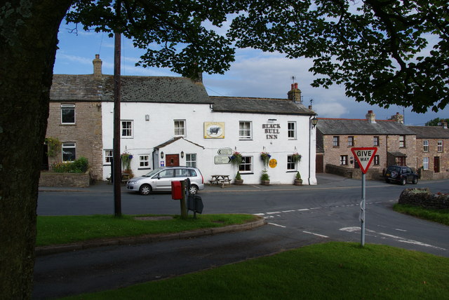
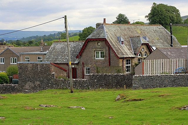
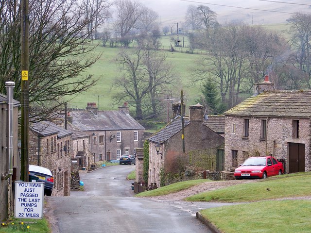
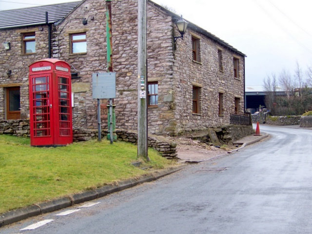
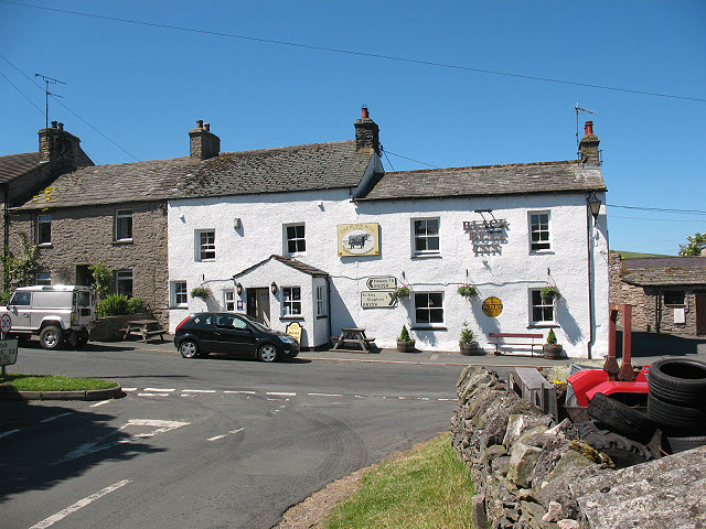
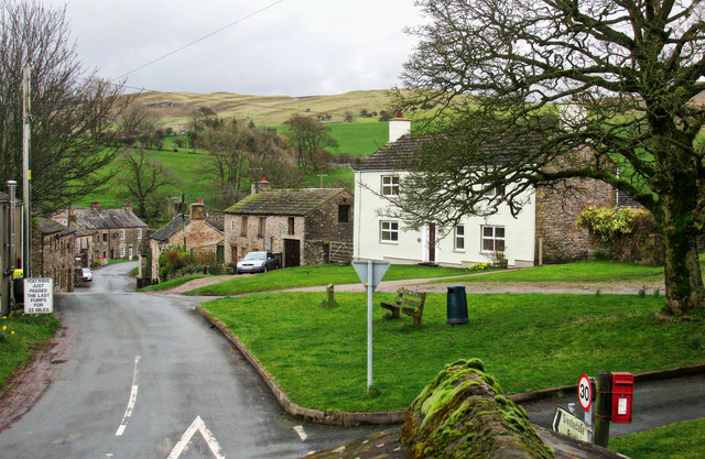
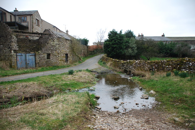
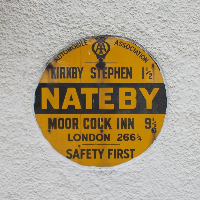
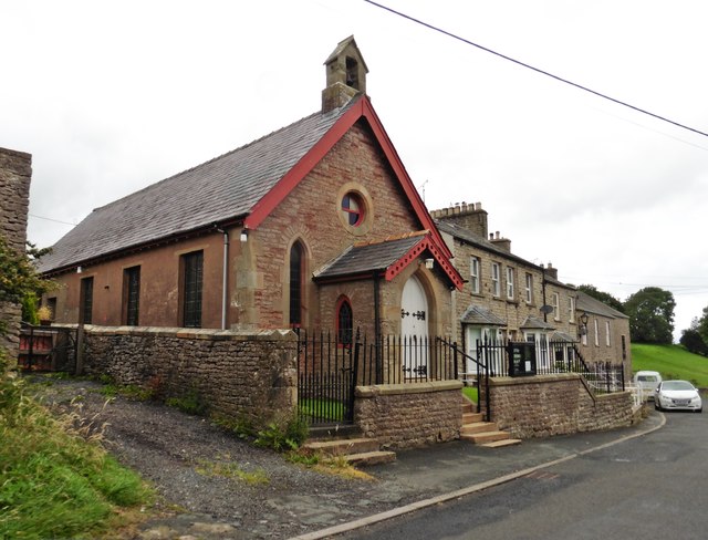
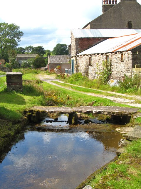
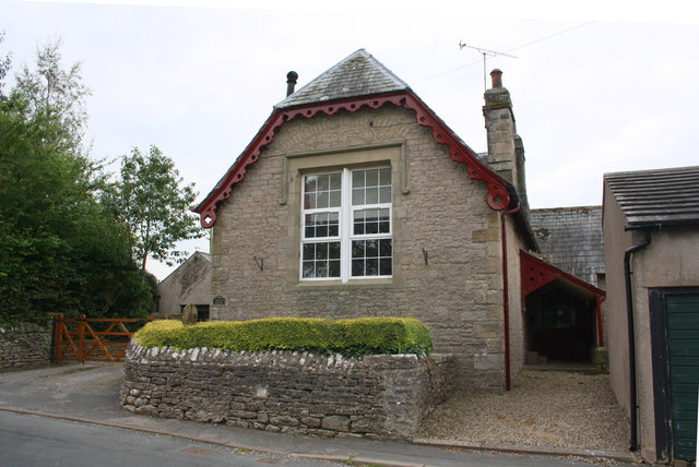
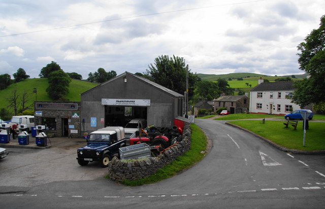
Nateby is a village and civil parish in the Eden district of Cumbria, England. The village is situated about 1.5 miles (2 km) south of Kirkby Stephen and 15 miles (24 km) north west of Hawes. Historically part of Westmorland, it lies 3 miles from the borders of the Yorkshire Dales and North Yorkshire. Nearby are the Nine Standards Rigg hills. The village contains a popular country pub, The Black Bull Inn, a garage/petrol station and a small metal-yard.
Visit the page: Nateby, Cumbria for references and further details. You can contribute to this article on Wikipedia.
from Geograph (geograph)
Old Circular, village name on black band, no MU symbol or name, 1923
Pinned by Simon Cotterill

from https://www.cumbriacountyhist…
Nateby
- "Township in Kirkby Stephen parish, East ward, Westmorland ....held by de Hastings family from 14th to 16th centuries, after which it passed to Whartons. Sold to Robert Lowther 1728 and …
Added by
Simon Cotterill
Co-Curate Page
Nine Standards Rigg
- Overview About Nine Standards Rigg Map Street View Nine Standards Rigg are a cluster of cairns located near the summit of Hartley Fell in the Pennine Hills, about three and …

from Geograph (geograph)
Old Circular, village name on black band, no MU symbol or name, 1923
Pinned by Simon Cotterill
from https://www.cumbriacountyhist…
Nateby
- "Township in Kirkby Stephen parish, East ward, Westmorland ....held by de Hastings family from 14th to 16th centuries, after which it passed to Whartons. Sold to Robert Lowther 1728 and …
Added by
Simon Cotterill