Topics > Cumbria > Threlkeld > Warcop
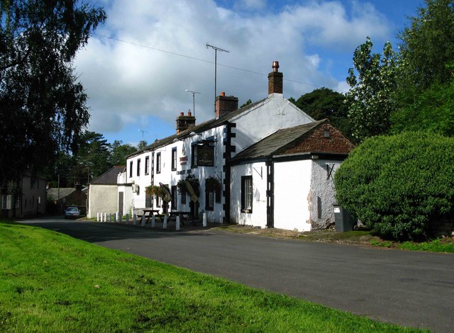
Warcop


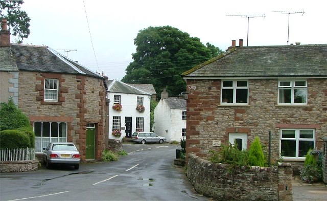
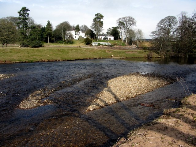
Warcop is a village in the Eden district of Cumbria, situated by the River Eden and located off the A66 road, about 3 miles north-west of Brough and 5 miles south-east of Appleby-in Westmorland. Historically, Warcop was an ancient parish in Westmorland; today the village forms part of of Warcop Civil Parish.

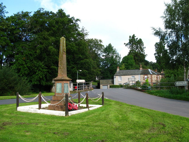
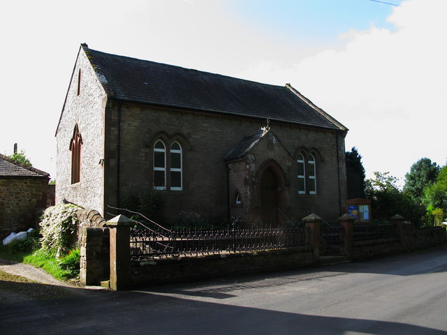
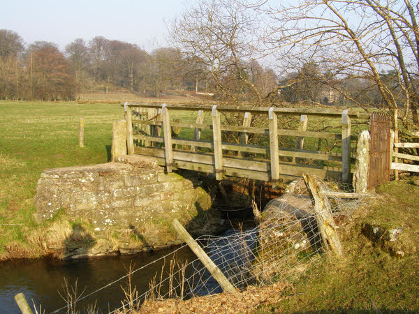
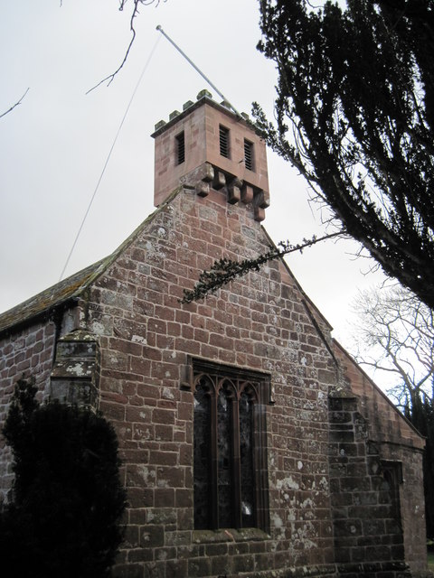
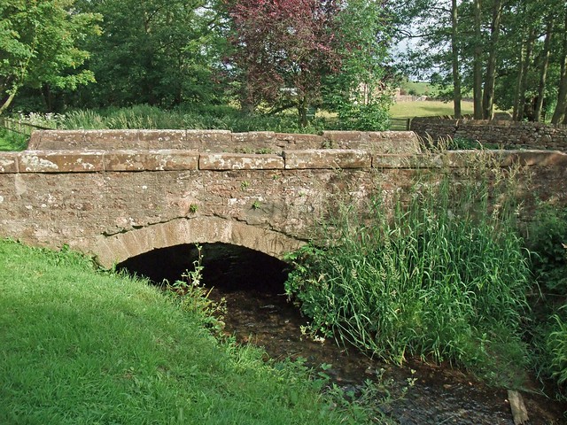
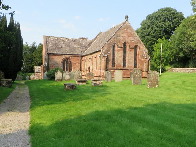
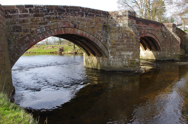
Warcop is a village and civil parish in the Eden district of Cumbria, England. It is near the A66 road and is north of Kirkby Stephen and about 5 miles south of Appleby in Westmorland. The local Church of England parish is St Columba's Church, Warcop, which is a Norman church and is built on the site of a Roman marching camp. It holds an annual "Rushbearing Festival" each year in late June. Warcop boasts the oldest usable bridge over the river Eden, which dates from the 14th century or earlier.

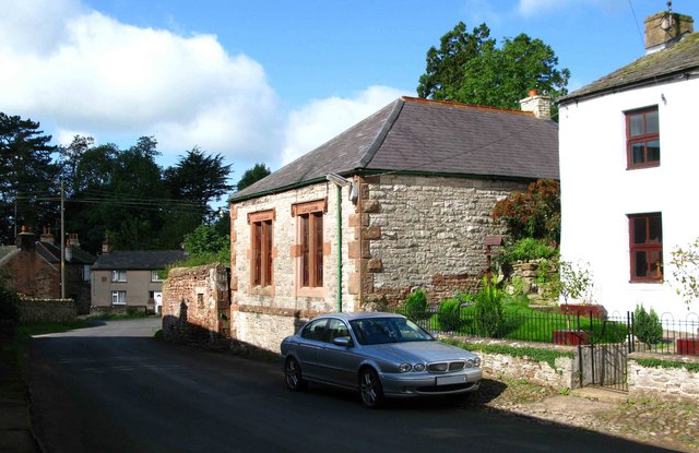
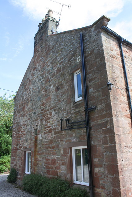
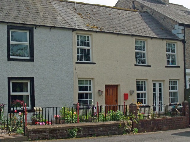
The village has houses that date from at least the 15th century - Warcop Tower c. 1400 or before and Warcop Hall c. 1500, other houses date from the 17th or 18th century to the present day.

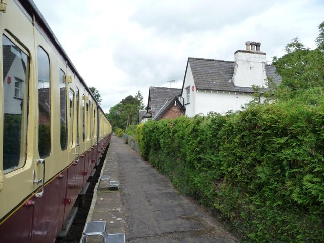
Warcop had its own railway station, Warcop railway station from 1862, which closed in 1962. The station yard (the station house is a private residence) has now reopened as part of the Eden Valley Railway.

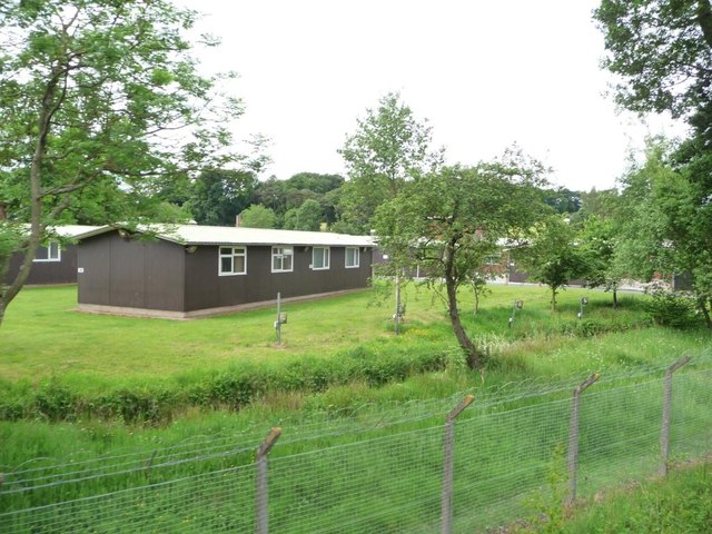
The Ministry of Defence operates the Warcop Training Area in the country and fell to the North West of Warcop, providing tank and infantry training.

Governance

An electoral ward in the same name exists. This ward stretches north to Murton with a total population taken at the 2011 Census of 1,352.

Location grid

Text from Wikipedia, available under the Creative Commons Attribution-ShareAlike License (accessed: 04/11/2020).
Visit the page: Warcop for references and further details. You can contribute to this article on Wikipedia.
Cumbria Warcop Civil Parish Warcop Parish, 1848 Church of St. Columba, Warcop Old Bridge, Warcop War Memorial, Warcop Warcop Railway Station
from Geograph (geograph)
Chamley Arms

Pinned by Simon Cotterill
from Geograph (geograph)
Warcop Reading Room

Pinned by Simon Cotterill
from Geograph (geograph)
Warcop War Memorial

Pinned by Simon Cotterill
from Geograph (geograph)
Warcop Methodist Church

Pinned by Simon Cotterill
from Geograph (geograph)
Warcop

Pinned by Simon Cotterill
from Geograph (geograph)
Footbridge near Warcop Village

Pinned by Simon Cotterill
from Geograph (geograph)
River Eden below Old Warcop Bridge

Pinned by Simon Cotterill
from Geograph (geograph)
Warcop Pinfold with Sculpture in Centre

Pinned by Simon Cotterill
from Geograph (geograph)
St Columba Church

Pinned by Simon Cotterill
from Geograph (geograph)
West face of the 'Old Vicarage'

Pinned by Simon Cotterill
from Geograph (geograph)
Warcop Training Area Camp

Pinned by Simon Cotterill
from Flickr (flickr)
Crooks Beck, Warcop

Pinned by Simon Cotterill
from Flickr (flickr)
Warcop

Pinned by Simon Cotterill
from Flickr (flickr)
Warcop

Pinned by Simon Cotterill
from Geograph (geograph)
Gated footpath, Warcop Station

Pinned by Simon Cotterill

Comments

Add a comment or share a memory.

Login to add a comment. Sign-up if you don't already have an account.


ABOUT US

Co-Curate is a project which brings together online collections, museums, universities, schools and community groups to make and re-make stories and images from North East England and Cumbria. Co-Curate is a trans-disciplinary project that will open up 'official' museum and 'un-officia'l co-created community-based collections and archives through innovative collaborative approaches using social media and open archives/data.

LATEST SHARED RESOURCES