Topics > Places > Deserted Medieval Village
Deserted Medieval Village
See also: Shrunken Medieval Village

Co-Curate Page
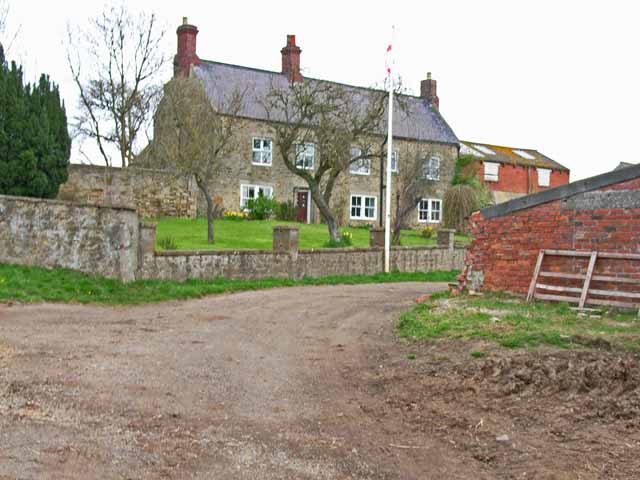
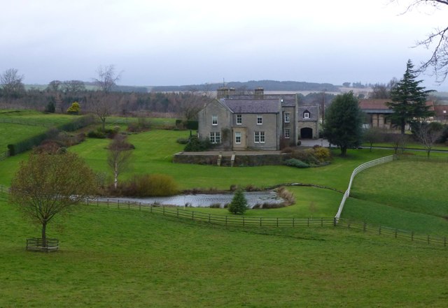
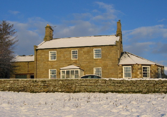
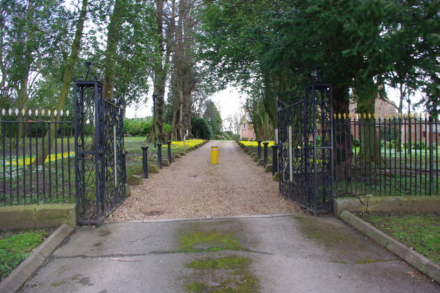
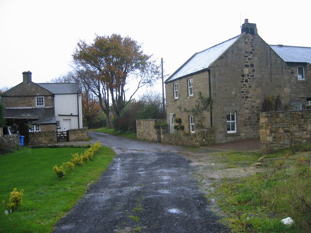
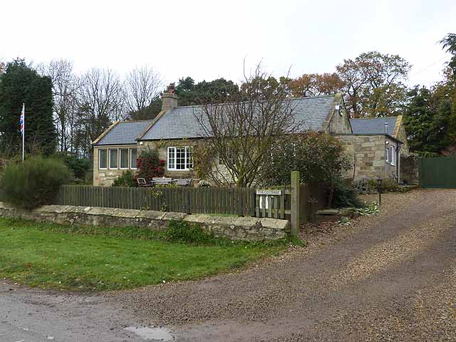
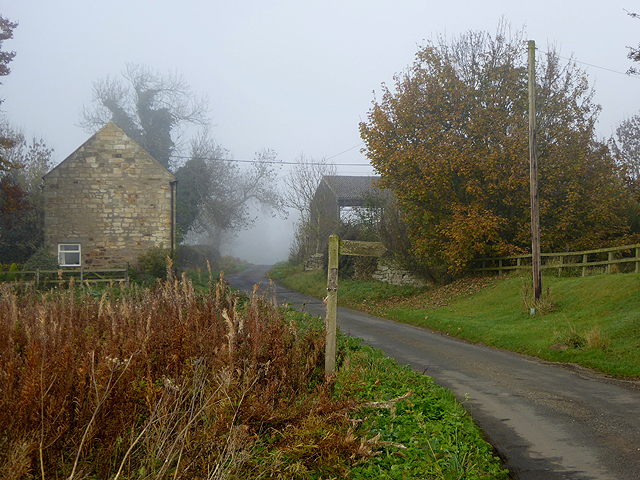
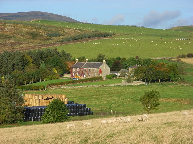
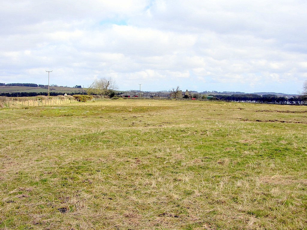
Medieval Village (remains), Abberwick
- Scheduled Monument areas - based on Historic England data (Open Government Licence). The remains of the deserted medieval village of Abberwick and located immediately West of Abberwick Farm. They include the …
Co-Curate Page
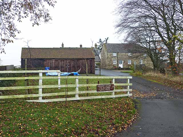
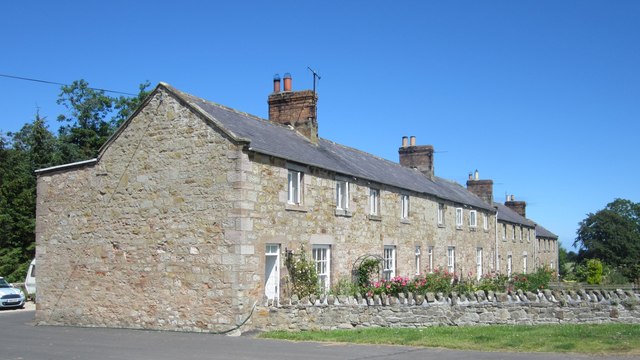
Twizell (Duddo)
- Twizell was a large estate during medievel times located by the River Till in Northumberland, in what is today the civil parish of Duddo. There is evidence of a deserted …
Co-Curate Page
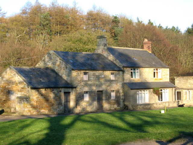
Deserted Medieval Village and Chapel, Tughall
- The village of Tughall was recorded as being part of the barony of Alnwick in 1242. The ruins of its 12th century chapel and its graveyard are located at the …
Co-Curate Page
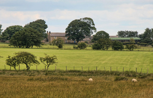
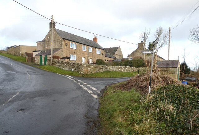
Ouston, West Allen Dale
- Ouston is a hamlet in West Allen Dale in Northumberland. It is within the civil parish of Plenmeller with Whitfield. There was a village at Ouston, first recorded in 1279, but it …
Co-Curate Page
Plashetts
- Plashetts was a village in Northumberland, located roughly 4 miles north-west of Falstone. There was farm here and possibly a deserted medieval settlement. Then in the 1850s Plashetts Colliery was opened …
Co-Curate Page
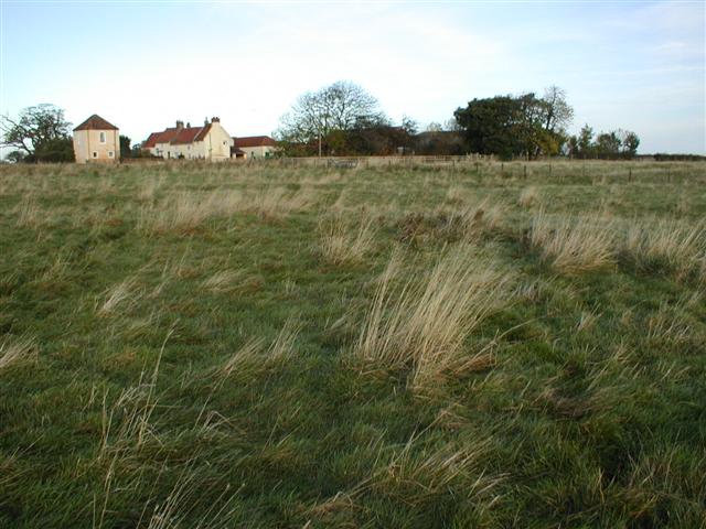
Tursdale House Farm
- Overview Map Tursdale House, was the manor house of the medieval village of Tursdale in the 12th century.[1] The current building at Tursdale House Farm dates from the 17th century, with …
Co-Curate Page
Buteland
- Buteland is a hamlet in Northumberland located just under a mile south-east of Redesmouth. There are earthwork remains of a deserted medieval village here.[1] Buteland, along with Broomhope, formed a …
Co-Curate Page
Healey Hall
- Overview Map Healey Hall is located by Healey Burn, about half a mile south of the village of Healey in Northumberland. Healey Hall was built by Robert Ormston in 1834, …
Co-Curate Page
Coldmartin
- Coldmartin is located south-east of Wooler in Northumberland. It is the site of a Medieval deserted village.[1] Today in the area, there are hamlets at Coldmartin (NU00562717), Coldmarin Croft Farm …
Co-Curate Page
Pawston
- Overview Map Street View Pawston is a hamlet in Northumberland. Pawston incorporates the site of the deserted medieval village of Thornington, which was first recorded in 1296.[1] To the south-west …
Co-Curate Page
Twizell (Whalton)
- Overview Map Street View Twizell and Twizell Cottages are hamlets in the Civil Parish of Whalton in Northumberland. Twizell Cottages are located about 3½ miles north of Ponteland and 5 …
Co-Curate Page
West Thickley
- Overview Map Street View Low West Thickley and High West Thickley are farms in County Durham, located off Brusselton Lane, to the south-west of Shildon. The earthwork remains of the …
Co-Curate Page
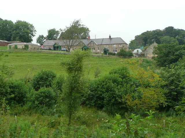
Houghton
- Overview Map Street View Houghton is a hamlet in Northumberland, located a short distance west of Heddon on the Wall. The settlement includes two farms, the Houghton Country equestrian centre and …

Co-Curate Page
Rokeby
- Today Rokeby is a civil parish near Barnard Castle, County Durham, in Teesdale, close to the boundary with North Yorkshire. The A66, one of the main roads across the north Pennines, …
Co-Curate Page
Farnham
- Overview Map Street View The hamlets of Low Farnham and High Farnham are situated by the River Coquet, located about 5 miles west of Rothbury in Northumberland. Low Farnham is …
Co-Curate Page
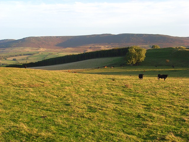
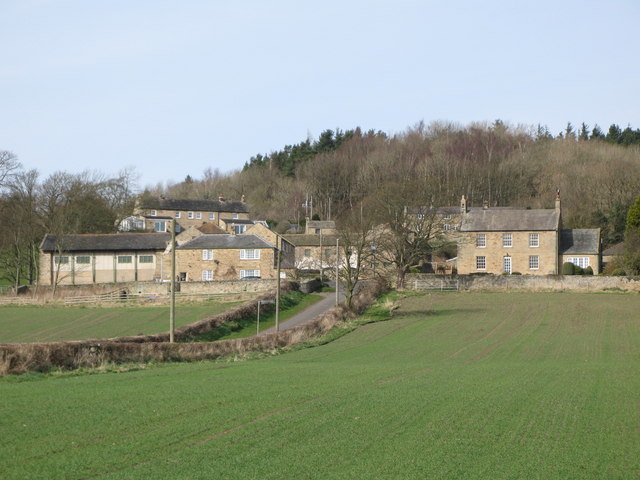
Wreighill
- Overview Map Wreighill Farm is located by Wreighill Pike (hill), about 1 mile north of the village of Hepple and 5 miles west of Rothbury in Northumberland. There was once …
Co-Curate Page
High Fotherley
- Overview Map High Fotherley is a farmstead/hamlet in the south of Northumberland, located about 6½ miles south-east of Hexham and 2½ miles south of Riding Mill. The medieval village of …
Co-Curate Page
Wooperton
- Overview Map Street View Wooperton is a hamlet in Northumberland, located about 5 miles south of Wooler. Wooperton is located off the A697 road between Roseden and Powburn. There is a farm, Wooperton …
Co-Curate Page
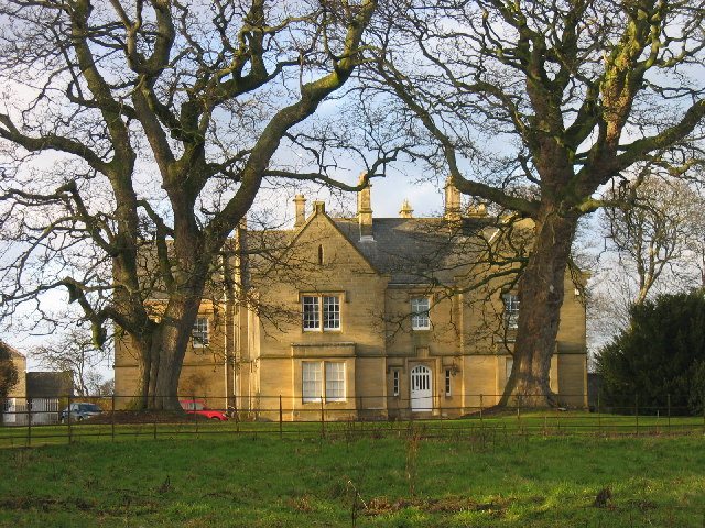
Higham Dykes
- Overview Map Higham Dykes is a hamlet in Northumberland, located just off the A696 road, about 2½ miles north-west of Ponteland. The large county house of Higham Dykes dates from …
Co-Curate Page
Coxhoe Medieval Settlement
- Overview Map The buried remains of the Medieval village of Coxhoe are located to the south-west of East House Farm, roughly half way between the modern villages of Coxhoe and …
Co-Curate Page
Budle
- Overview Map Street View Budle is a hamlet in Northumberland, located on the south side of Budle Bay and about 1 mile west of Bamburgh. There was a medieval village …
Co-Curate Page
Warenton
- Overview Map Street View Warenton is a hamlet in Northumberland, located about 2 miles south of Belford. It is situated to the south of Mousen Burn as it flows through Warenton …
Co-Curate Page
Throphill
- Overview Map Street View Throphill is a farm/hamlet in Northumberland, located off the B6343 road, about 4 miles west of Morpeth. There is a farm, Throphill Grange (now including a …
Co-Curate Page
Newsham deserted medieval village
- Newsham (the place name means 'the new dwelling') was a substantial village around the 12th century, but the settlement had been deserted by 1600. The few visible remains would be …
Co-Curate Page
Walkmill (near Warkworth)
- Overview Map WALKMILL, a township, in the parish of Warkworth, union of Alnwick, E. division of Coquetdale ward, N. division of Northumberland; containing 5 inhabitants. It is situated on the …
Co-Curate Page
Rivergreen
- Overview Map Street View Rivergreen is a hamlet in Northumberland, situated by the River Wansbeck, located to the west of Mitford. Rivergreen is the site of the deserted medieval village …
Co-Curate Page
Saltwick
- Overview Map Street View SALTWICK, a township, in the N. division of the parish of Stannington, union, and W. division, of Castle ward, S. division of Northumberland, 5 miles (S.S.W.) …
Co-Curate Page
Berrington
- Overview Map Street View Berrington is a hamlet in Northumberland, situated near Berrington Burn and located about 6 miles south of Berwick upon Tweed. Berrington was first recorded in 1208; …
Co-Curate Page
Lowlynn
- Overview Map Street View Lowlynn (aka Low Lynn, Lowlin) is a distributed hamlet in Northumberland, which includes Lowynn Farm, Lowlynn House and Lowlynn Mill. It is located about 8 miles …
Co-Curate Page
Coldcoats, Ponteland
- The hamlets of West Cotes [aka West Coldcoats] (NZ13357439), Middle Coldcoats (NZ143877485) and East Coldcoats (NZ13357439) are situated by Coldcoats Burn, a tributary of the River Pont in Northumberland. They …
Co-Curate Page
Darras Hall
- Overview Map Street View Darras Hall is a large and exclusive estate at the south-west of Ponteland. The medieval village of Darras Hall was first recorded in the 13th century, …
Co-Curate Page
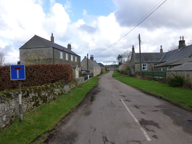
Warton
- Overview Map Street View Warton is a hamlet in Northumberland, located about 3½ miles west of Rothbury and 16 miles north-west of Morpeth. Warton Burn flows near the settlment and …
from https://historicengland.org.u…
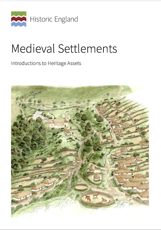
Medieval Settlements - Introductions to Heritage Assets
- Historic England (2018) Medieval Settlements: Introductions to Heritage Assets. Swindon. Historic England. "....This IHA provides an introduction to medieval settlements, ranging from individual
farms, through hamlets of a few households, …
Added by
Simon Cotterill
Co-Curate Page
Newton Underwood, Northumberland
- Overview Map Street View Newton Underwood is a farm / hamlet in Northumberland, located about 3 miles west of Morpeth. It is the site of a deserted Medieval village, and …
Co-Curate Page
Tofts, Haydon Bridge
- Tofts is a hamlet located north of Haydon Bridge in Northumberland. Tofts Farm is located at the end of Tofts Bank, the road which climbs the hill from North Bank …
Co-Curate Page
Frankham, Northumberland
- Overview Map Street View Frankham is a hamlet and farm, located a short distance north of the village of Fourstones in Northumberland. It was the site of a medieval village.[1] …
Co-Curate Page
Holburn
- Overview Map Street View Holburn is a hamlet in Northumberland, located about 2½ miles south-east of the village of Lowick. There was a substantial settlement here during Medieval times, and …
Co-Curate Page
Scrainwood
- Overview Map Street View Scrainwood is a farm and hamlet in Northumberland, located just under a mile south-west of Alnham and a mile north of Netherton. Scrainwood Burn runs through the …
Co-Curate Page
Shipley
- Overview Map Shipley is a distributed community within the Civil Parish of Eglingham in Northumberland, located about 3½ miles north-west of Alnwick. Shipley Farm is located to the south of …

Co-Curate Page
Site of Bells Chapel
- Overview Map The site of Bells Chapel (also known as Bell's Kirk) is located by Bells Burn, close to the England Scotland border, a short distance south-west of Bellsburnfoot, roughly …

Co-Curate Page
Hobberlaw
- Overview Map Street View Hobberlaw is a farm in Northumberland, located off Rugley Road, south west of Alnwick. A settlement existed here in medieval times, which was part of the …

Co-Curate Page
West Thornton
- THORNTON, WEST, a township, in the parish of Hartburn, union, and W. division of the ward, of Morpeth, N. division of Northumberland, 7¼ miles (W. by N.) from Morpeth; containing …
Co-Curate Page
Allensgreen, Bardon Mill
- Overview Map Allensgreen (aka Allen's Green) is a farm / hamlet in Northumberland, located about 1½ miles south-west of Bardon Mill. It is situated near Allensgreen Burn. There was once …

Co-Curate Page
Brunton (Embleton)
- Overview Map Street View Brunton is a hamlet in Northumberland, situated by Brunton Burn, about 7 miles north of Alnwick. High Brunton is thought to be the site of the …
Co-Curate Page
Archdeacon Newton Medieval Settlement
- Note: Scheduled Monument area - map data from Historic England c/o Open Data UK, under the Open Government Licence, imported into Google MyMaps, March 2026. Archdeacon Newton is the site …
Co-Curate Page
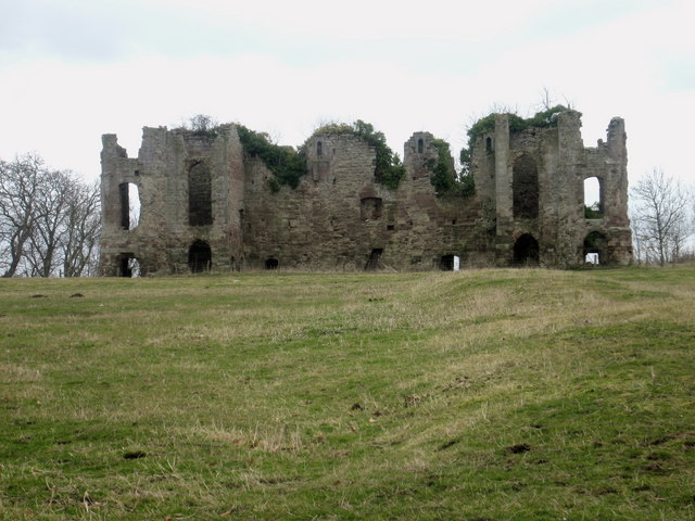
Edlingham Deserted Medieval Village
- Scheduled Monument areas - based on Historic England data (Open Government Licence). To the south of St John's Church in Edlingham is the probable site of the deserted medieval village …
Co-Curate Page
East Matfen medieval village
- Map showing the Scheduled Monument area of East Matfen medieval village, with Matfen to the west. The site of East Matfen medieval village is located about a mile ESE of …
Co-Curate Page
Welton Medieval Settlement
- Scheduled Monument areas - based on Historic England data (Open Government Licence). Welton in Northumberland, situated to the south of Whittle Burn, is the site of a deserted medieval village. …
Co-Curate Page
Stainsby medieval village
- Scheduled Monument area - based on Historic England data (Open Government Licence). The remains of the medieval village of Stainsby and part of its open field system are located immediately …
Co-Curate Page
Leafield Edge medieval settlement
- Scheduled Monument areas - based on Historic England data (Open Government Licence). The site of Leafield Edge deserted medieval village is located about 1 mile north-west of Prendwick in Northumberland. …
Co-Curate Page
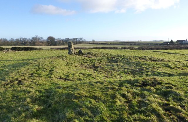
Alnhamsheles medieval settlement
- Map showing Alnhammoor and the two areas of the Scheduled Monument of Alnhamsheles medieval settlement The site of Alnhamsheles deserted medieval village is located on either side of Rowhope Burn, …
Co-Curate Page
Middle Newham deserted medieval village
- Scheduled Monument areas - based on Historic England data (Open Government Licence). Middle Newham was a much larger village during Medieval times. There are earthwork remains of at least eight …

Co-Curate Page
Dewley
- Dewley was located to the north of Throckley in Newcastle. Medieval Settlement Dewley was a Medieval settlement, first documented in 1296, having 4 tax-payers. In 1622 Cuthbert Heron was recorded …

Co-Curate Page
Medieval Village (remains), Abberwick
- Scheduled Monument areas - based on Historic England data (Open Government Licence). The remains of the deserted medieval village of Abberwick and located immediately West of Abberwick Farm. They include the …
Co-Curate Page
Twizell (Duddo)
- Twizell was a large estate during medievel times located by the River Till in Northumberland, in what is today the civil parish of Duddo. There is evidence of a deserted …
Co-Curate Page
Deserted Medieval Village and Chapel, Tughall
- The village of Tughall was recorded as being part of the barony of Alnwick in 1242. The ruins of its 12th century chapel and its graveyard are located at the …
Co-Curate Page
Ouston, West Allen Dale
- Ouston is a hamlet in West Allen Dale in Northumberland. It is within the civil parish of Plenmeller with Whitfield. There was a village at Ouston, first recorded in 1279, but it …
Co-Curate Page
Plashetts
- Plashetts was a village in Northumberland, located roughly 4 miles north-west of Falstone. There was farm here and possibly a deserted medieval settlement. Then in the 1850s Plashetts Colliery was opened …
Co-Curate Page
Tursdale House Farm
- Overview Map Tursdale House, was the manor house of the medieval village of Tursdale in the 12th century.[1] The current building at Tursdale House Farm dates from the 17th century, with …
Co-Curate Page
Buteland
- Buteland is a hamlet in Northumberland located just under a mile south-east of Redesmouth. There are earthwork remains of a deserted medieval village here.[1] Buteland, along with Broomhope, formed a …
Co-Curate Page
Healey Hall
- Overview Map Healey Hall is located by Healey Burn, about half a mile south of the village of Healey in Northumberland. Healey Hall was built by Robert Ormston in 1834, …
Co-Curate Page
Coldmartin
- Coldmartin is located south-east of Wooler in Northumberland. It is the site of a Medieval deserted village.[1] Today in the area, there are hamlets at Coldmartin (NU00562717), Coldmarin Croft Farm …
Co-Curate Page
Pawston
- Overview Map Street View Pawston is a hamlet in Northumberland. Pawston incorporates the site of the deserted medieval village of Thornington, which was first recorded in 1296.[1] To the south-west …
Co-Curate Page
Twizell (Whalton)
- Overview Map Street View Twizell and Twizell Cottages are hamlets in the Civil Parish of Whalton in Northumberland. Twizell Cottages are located about 3½ miles north of Ponteland and 5 …
Co-Curate Page
West Thickley
- Overview Map Street View Low West Thickley and High West Thickley are farms in County Durham, located off Brusselton Lane, to the south-west of Shildon. The earthwork remains of the …
Co-Curate Page
Houghton
- Overview Map Street View Houghton is a hamlet in Northumberland, located a short distance west of Heddon on the Wall. The settlement includes two farms, the Houghton Country equestrian centre and …
Co-Curate Page
Rokeby
- Today Rokeby is a civil parish near Barnard Castle, County Durham, in Teesdale, close to the boundary with North Yorkshire. The A66, one of the main roads across the north Pennines, …
Co-Curate Page
Farnham
- Overview Map Street View The hamlets of Low Farnham and High Farnham are situated by the River Coquet, located about 5 miles west of Rothbury in Northumberland. Low Farnham is …
Co-Curate Page
Wreighill
- Overview Map Wreighill Farm is located by Wreighill Pike (hill), about 1 mile north of the village of Hepple and 5 miles west of Rothbury in Northumberland. There was once …
Co-Curate Page
High Fotherley
- Overview Map High Fotherley is a farmstead/hamlet in the south of Northumberland, located about 6½ miles south-east of Hexham and 2½ miles south of Riding Mill. The medieval village of …
Co-Curate Page
Wooperton
- Overview Map Street View Wooperton is a hamlet in Northumberland, located about 5 miles south of Wooler. Wooperton is located off the A697 road between Roseden and Powburn. There is a farm, Wooperton …
Co-Curate Page
Higham Dykes
- Overview Map Higham Dykes is a hamlet in Northumberland, located just off the A696 road, about 2½ miles north-west of Ponteland. The large county house of Higham Dykes dates from …
Co-Curate Page
Coxhoe Medieval Settlement
- Overview Map The buried remains of the Medieval village of Coxhoe are located to the south-west of East House Farm, roughly half way between the modern villages of Coxhoe and …
Co-Curate Page
Budle
- Overview Map Street View Budle is a hamlet in Northumberland, located on the south side of Budle Bay and about 1 mile west of Bamburgh. There was a medieval village …
Co-Curate Page
Warenton
- Overview Map Street View Warenton is a hamlet in Northumberland, located about 2 miles south of Belford. It is situated to the south of Mousen Burn as it flows through Warenton …
Co-Curate Page
Throphill
- Overview Map Street View Throphill is a farm/hamlet in Northumberland, located off the B6343 road, about 4 miles west of Morpeth. There is a farm, Throphill Grange (now including a …
Co-Curate Page
Newsham deserted medieval village
- Newsham (the place name means 'the new dwelling') was a substantial village around the 12th century, but the settlement had been deserted by 1600. The few visible remains would be …
Co-Curate Page
Walkmill (near Warkworth)
- Overview Map WALKMILL, a township, in the parish of Warkworth, union of Alnwick, E. division of Coquetdale ward, N. division of Northumberland; containing 5 inhabitants. It is situated on the …
Co-Curate Page
Rivergreen
- Overview Map Street View Rivergreen is a hamlet in Northumberland, situated by the River Wansbeck, located to the west of Mitford. Rivergreen is the site of the deserted medieval village …
Co-Curate Page
Saltwick
- Overview Map Street View SALTWICK, a township, in the N. division of the parish of Stannington, union, and W. division, of Castle ward, S. division of Northumberland, 5 miles (S.S.W.) …
Co-Curate Page
Berrington
- Overview Map Street View Berrington is a hamlet in Northumberland, situated near Berrington Burn and located about 6 miles south of Berwick upon Tweed. Berrington was first recorded in 1208; …
Co-Curate Page
Lowlynn
- Overview Map Street View Lowlynn (aka Low Lynn, Lowlin) is a distributed hamlet in Northumberland, which includes Lowynn Farm, Lowlynn House and Lowlynn Mill. It is located about 8 miles …
Co-Curate Page
Coldcoats, Ponteland
- The hamlets of West Cotes [aka West Coldcoats] (NZ13357439), Middle Coldcoats (NZ143877485) and East Coldcoats (NZ13357439) are situated by Coldcoats Burn, a tributary of the River Pont in Northumberland. They …
Co-Curate Page
Darras Hall
- Overview Map Street View Darras Hall is a large and exclusive estate at the south-west of Ponteland. The medieval village of Darras Hall was first recorded in the 13th century, …
Co-Curate Page
Warton
- Overview Map Street View Warton is a hamlet in Northumberland, located about 3½ miles west of Rothbury and 16 miles north-west of Morpeth. Warton Burn flows near the settlment and …
from https://historicengland.org.u…
Medieval Settlements - Introductions to Heritage Assets
- Historic England (2018) Medieval Settlements: Introductions to Heritage Assets. Swindon. Historic England. "....This IHA provides an introduction to medieval settlements, ranging from individual
farms, through hamlets of a few households, …
Added by
Simon Cotterill
Co-Curate Page
Newton Underwood, Northumberland
- Overview Map Street View Newton Underwood is a farm / hamlet in Northumberland, located about 3 miles west of Morpeth. It is the site of a deserted Medieval village, and …
Co-Curate Page
Tofts, Haydon Bridge
- Tofts is a hamlet located north of Haydon Bridge in Northumberland. Tofts Farm is located at the end of Tofts Bank, the road which climbs the hill from North Bank …
Co-Curate Page
Frankham, Northumberland
- Overview Map Street View Frankham is a hamlet and farm, located a short distance north of the village of Fourstones in Northumberland. It was the site of a medieval village.[1] …
Co-Curate Page
Holburn
- Overview Map Street View Holburn is a hamlet in Northumberland, located about 2½ miles south-east of the village of Lowick. There was a substantial settlement here during Medieval times, and …
Co-Curate Page
Scrainwood
- Overview Map Street View Scrainwood is a farm and hamlet in Northumberland, located just under a mile south-west of Alnham and a mile north of Netherton. Scrainwood Burn runs through the …
Co-Curate Page
Shipley
- Overview Map Shipley is a distributed community within the Civil Parish of Eglingham in Northumberland, located about 3½ miles north-west of Alnwick. Shipley Farm is located to the south of …
Co-Curate Page
Site of Bells Chapel
- Overview Map The site of Bells Chapel (also known as Bell's Kirk) is located by Bells Burn, close to the England Scotland border, a short distance south-west of Bellsburnfoot, roughly …
Co-Curate Page
Hobberlaw
- Overview Map Street View Hobberlaw is a farm in Northumberland, located off Rugley Road, south west of Alnwick. A settlement existed here in medieval times, which was part of the …
Co-Curate Page
West Thornton
- THORNTON, WEST, a township, in the parish of Hartburn, union, and W. division of the ward, of Morpeth, N. division of Northumberland, 7¼ miles (W. by N.) from Morpeth; containing …
Co-Curate Page
Allensgreen, Bardon Mill
- Overview Map Allensgreen (aka Allen's Green) is a farm / hamlet in Northumberland, located about 1½ miles south-west of Bardon Mill. It is situated near Allensgreen Burn. There was once …
Co-Curate Page
Brunton (Embleton)
- Overview Map Street View Brunton is a hamlet in Northumberland, situated by Brunton Burn, about 7 miles north of Alnwick. High Brunton is thought to be the site of the …
Co-Curate Page
Archdeacon Newton Medieval Settlement
- Note: Scheduled Monument area - map data from Historic England c/o Open Data UK, under the Open Government Licence, imported into Google MyMaps, March 2026. Archdeacon Newton is the site …
Co-Curate Page
Edlingham Deserted Medieval Village
- Scheduled Monument areas - based on Historic England data (Open Government Licence). To the south of St John's Church in Edlingham is the probable site of the deserted medieval village …
Co-Curate Page
East Matfen medieval village
- Map showing the Scheduled Monument area of East Matfen medieval village, with Matfen to the west. The site of East Matfen medieval village is located about a mile ESE of …
Co-Curate Page
Welton Medieval Settlement
- Scheduled Monument areas - based on Historic England data (Open Government Licence). Welton in Northumberland, situated to the south of Whittle Burn, is the site of a deserted medieval village. …
Co-Curate Page
Stainsby medieval village
- Scheduled Monument area - based on Historic England data (Open Government Licence). The remains of the medieval village of Stainsby and part of its open field system are located immediately …
Co-Curate Page
Leafield Edge medieval settlement
- Scheduled Monument areas - based on Historic England data (Open Government Licence). The site of Leafield Edge deserted medieval village is located about 1 mile north-west of Prendwick in Northumberland. …
Co-Curate Page
Alnhamsheles medieval settlement
- Map showing Alnhammoor and the two areas of the Scheduled Monument of Alnhamsheles medieval settlement The site of Alnhamsheles deserted medieval village is located on either side of Rowhope Burn, …
Co-Curate Page
Middle Newham deserted medieval village
- Scheduled Monument areas - based on Historic England data (Open Government Licence). Middle Newham was a much larger village during Medieval times. There are earthwork remains of at least eight …
Co-Curate Page
Dewley
- Dewley was located to the north of Throckley in Newcastle. Medieval Settlement Dewley was a Medieval settlement, first documented in 1296, having 4 tax-payers. In 1622 Cuthbert Heron was recorded …
Medieval Village (remains), Abberwick
Edlingham Deserted Medieval Village
Newsham deserted medieval village
Archdeacon Newton Medieval Settlement
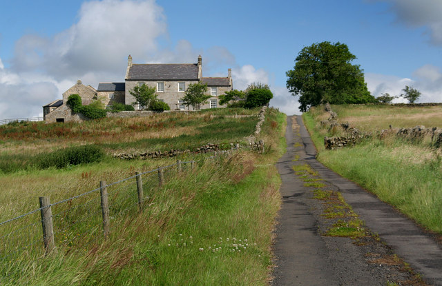
Rivergreen, Meldon, Northumberland
Middle Newham deserted medieval village
Deserted medieval village, Garmondsway
Deserted Medieval Village and Chapel, Tughall
Newton Underwood, Northumberland
Leafield Edge medieval settlement


