Topics > Northumberland > Twizell (Duddo)
Twizell (Duddo)
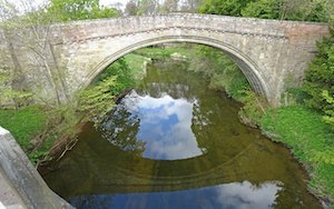
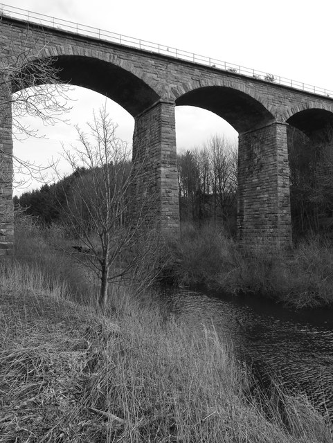
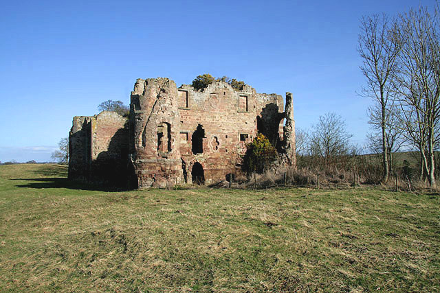
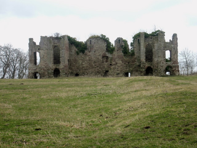
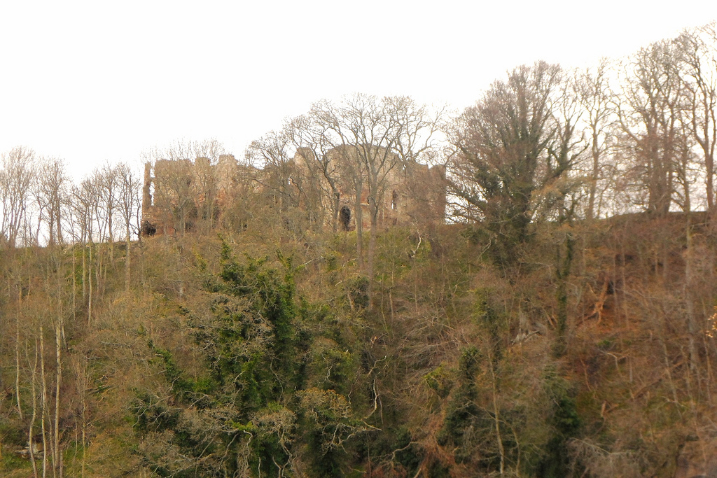
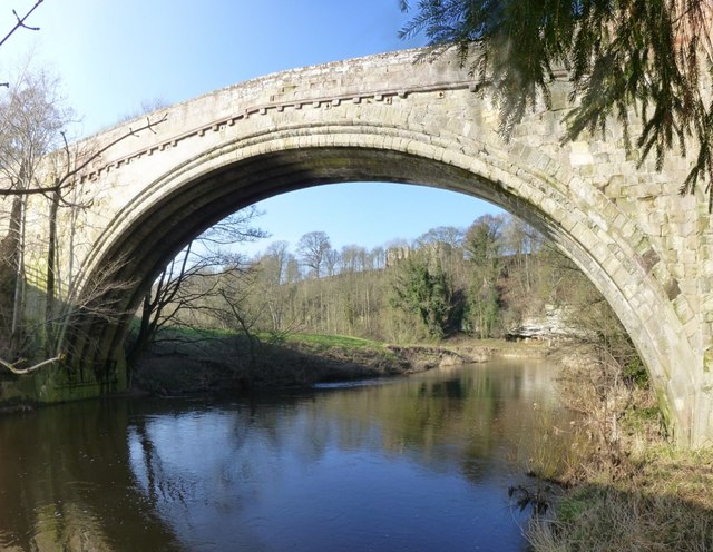
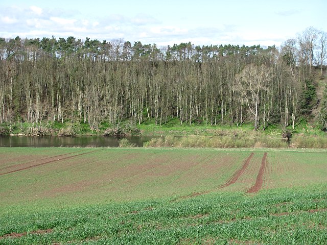
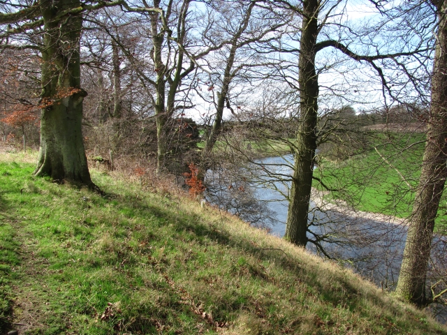
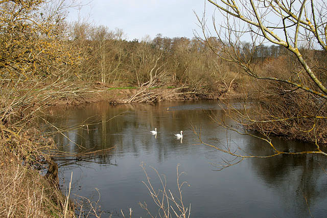
Twizell was a large estate during medievel times located by the River Till in Northumberland, in what is today the civil parish of Duddo. There is evidence of a deserted medievel village at Twizell[1]. The estate was focussed around Twizel Castle and an earlier medieval tower house on that site. Twizell Bridge, built in 1511, is associated with the Battle of Flodden, 1513.
Not to be confused with Twizell (Whalton), or Twizell (Adderstone with Lucker), both are also in Northumberland.
Co-Curate Page
Twizell Castle
- Overview About Twizell Castle Map Street View Twizell Castle stands on a bend of the River Till near Twizell Bridge, about 3 miles north-west of Cornhill-on-Tweed in Northumberland. A medieval tower house on …
from Flickr (flickr)
Ruins of Twizel Castle above River Till in Northumberland, England
Pinned by Simon Cotterill

from https://keystothepast.info/se…
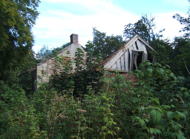
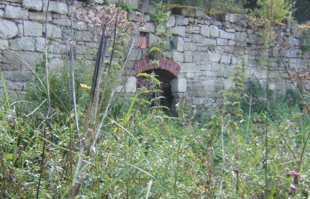
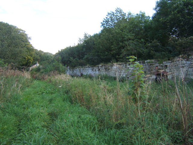
Twizell deserted medieval village (Duddo)
- "The medieval village of Twizell lies north of Twizell Castle. Although much of this area was made into gardens, house platforms from the medieval village can be seen at the …
Added by
Simon Cotterill

Co-Curate Page
Norhamshire, 1855
- Extract from: History, Topography, and Directory of Northumberland...Whellan, William, & Co, 1855. NORHAMSHIRE NORHAM, or NORHAMSHIRE, is a parish co-extensive with the hundred of the same name, and forming, …

Co-Curate Page
Twizell Castle
- Overview About Twizell Castle Map Street View Twizell Castle stands on a bend of the River Till near Twizell Bridge, about 3 miles north-west of Cornhill-on-Tweed in Northumberland. A medieval tower house on …
from Flickr (flickr)
Ruins of Twizel Castle above River Till in Northumberland, England
Pinned by Simon Cotterill
from https://keystothepast.info/se…
Twizell deserted medieval village (Duddo)
- "The medieval village of Twizell lies north of Twizell Castle. Although much of this area was made into gardens, house platforms from the medieval village can be seen at the …
Added by
Simon Cotterill