Topics > County Durham > West Thickley

West Thickley


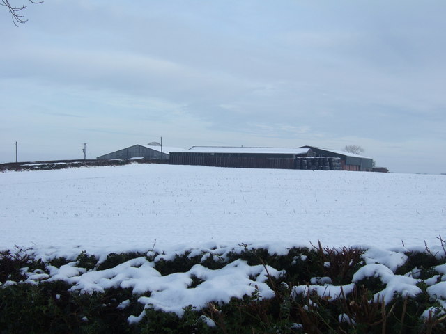
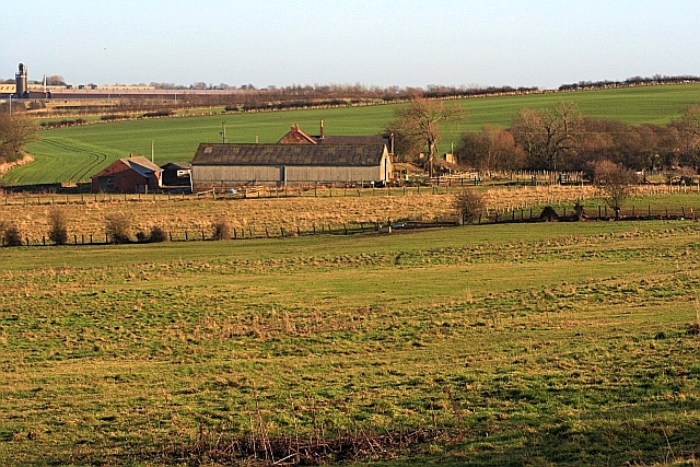
Low West Thickley and High West Thickley are farms in County Durham, located off Brusselton Lane, to the south-west of Shildon. The earthwork remains of the deserted medieval village of West Thickfield are located near High West Thickley. In the 14th century all the residents of the village were said to have died from the Black Death plague. The Brusselton Incline of the Stockton and Darlington Railway is located by Low West Thickley Farm.

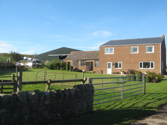
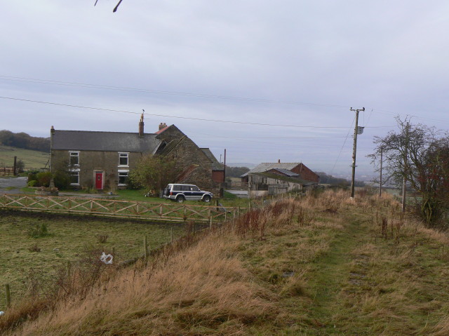
High West Thickley Farm (Low West Thickly is to the north-east, by Brusselton Incline).

County Durham Shildon Town Council area Deserted Medieval Village
from Geograph (geograph)
High West Thickley Farm

Pinned by Simon Cotterill
from Geograph (geograph)
High West Thickley Farmhouse near Shildon

Pinned by Simon Cotterill
from Geograph (geograph)
Low West Thickley Farm

Pinned by Simon Cotterill
from Geograph (geograph)
Brusselton Incline, West slope

Pinned by Simon Cotterill

Comments

Add a comment or share a memory.

Login to add a comment. Sign-up if you don't already have an account.


ABOUT US

Co-Curate is a project which brings together online collections, museums, universities, schools and community groups to make and re-make stories and images from North East England and Cumbria. Co-Curate is a trans-disciplinary project that will open up 'official' museum and 'un-officia'l co-created community-based collections and archives through innovative collaborative approaches using social media and open archives/data.

LATEST SHARED RESOURCES