Topics > Northumberland > Berrington
Berrington
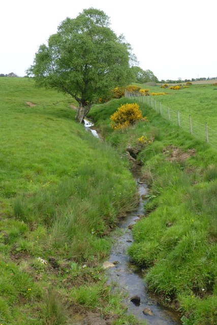
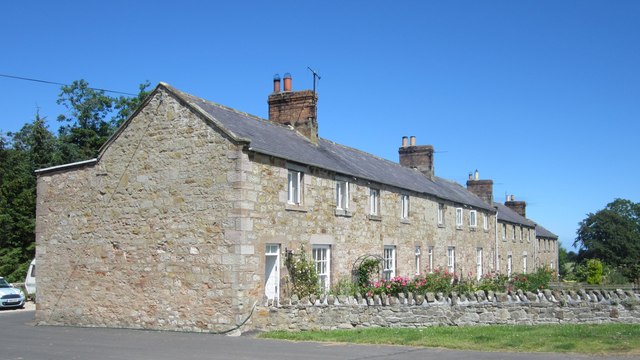
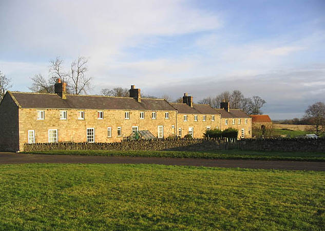
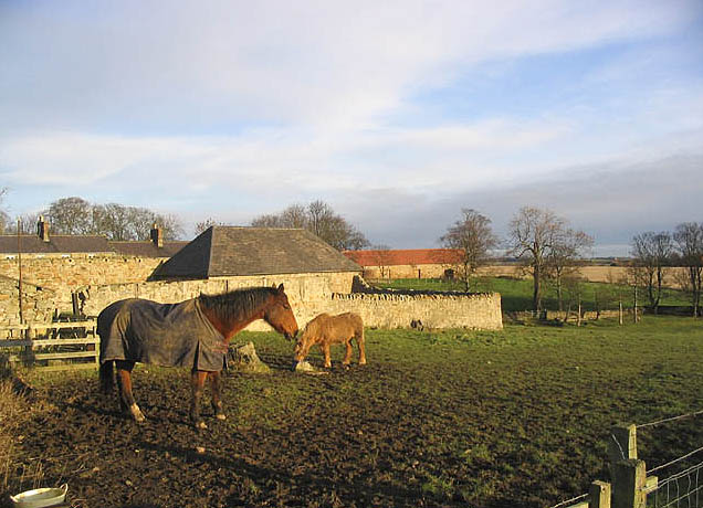
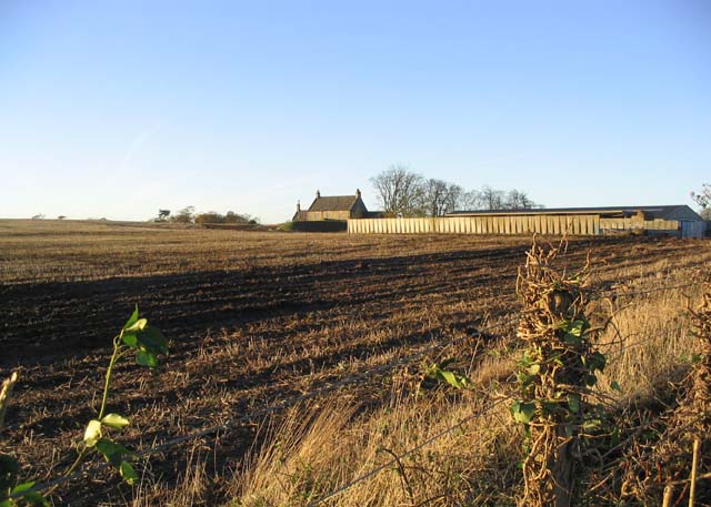
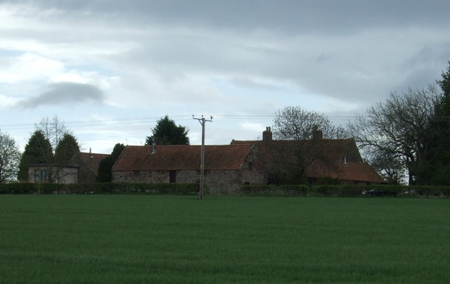
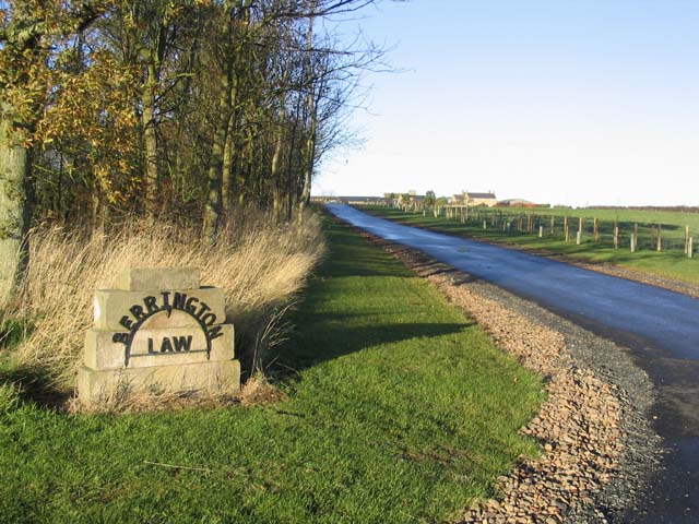
Berrington is a hamlet in Northumberland, situated near Berrington Burn and located about 6 miles south of Berwick upon Tweed. Berrington was first recorded in 1208; in medieval times it was a more sizable village, but had reduced in size by the 18th century.[1] Berrington and its surrounding area was a township in the ancient parish of Kyloe. Berrington House and South Berrington farmhouse date from the 18th century and both listed on the National Heritage List for England.[2] Today, Berrington forms part of Kyloe Civil Parish.
BERRINGTON, a township, in the parish of Kyloe, union of Berwick-Upon-Tweed, in Islandshire, N. division of Northumberland; adjoining Berwick, and containing 316 inhabitants.
Extract from: A Topographical Dictionary of England comprising the several counties, cities, boroughs, corporate and market towns, parishes, and townships..... 7th Edition, by Samuel Lewis, London, 1848.
See also: the more detailed description of Berrington in Kyloe Chapelry in Whellan's diectory, 1855.

Co-Curate Page
Kyloe Chapelry, 1855
- Extract from: History, Topography, and Directory of Northumberland...Whellan, William, & Co, 1855. KYLOE PAROCHIAL CHAPELRY KYLOE parochial chapelry comprises the townships of Beal with Lowlin, Berrington, Buckton, Fenwick, and …

from https://keystothepast.info/se…
Berrington (Kyloe)
- "This is the site of the deserted medieval village of Berrington, which was first recorded in 1208. It was once a village of some size, but had declined in size …
Added by
Simon Cotterill

from https://historicengland.org.u…
BERRINGTON HOUSE - Kyloe - List Entry
- "House. Late C18-early C19. Ashlar with Scottish slate roof. T-shaped in plan. 2 storeys. Front block 3 x 2 bays. C20 Central canted rusticated porch with dentilled cornice and parapet. …
Added by
Simon Cotterill
from https://historicengland.org.u…
BERRINGTON SOUTH FARMHOUSE - Kyloe - List Entry
- "House. Late C18. Ashlar with Welsh slate roof and C19 brick chimneys. 2-storey, 3-bay main block with lower wings projecting to sides...."
Added by
Simon Cotterill
from https://keystothepast.info/se…
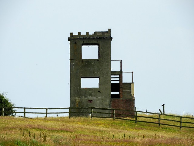
Berrington Old Hall (Kyloe)
- "This was the site of Berrington Old Hall. This was first recorded as a tower in the 15th century, but was probably in ruins by 1542. There are no visible …
Added by
Simon Cotterill

Co-Curate Page
Kyloe Chapelry, 1855
- Extract from: History, Topography, and Directory of Northumberland...Whellan, William, & Co, 1855. KYLOE PAROCHIAL CHAPELRY KYLOE parochial chapelry comprises the townships of Beal with Lowlin, Berrington, Buckton, Fenwick, and …
from https://keystothepast.info/se…
Berrington (Kyloe)
- "This is the site of the deserted medieval village of Berrington, which was first recorded in 1208. It was once a village of some size, but had declined in size …
Added by
Simon Cotterill
from https://historicengland.org.u…
BERRINGTON HOUSE - Kyloe - List Entry
- "House. Late C18-early C19. Ashlar with Scottish slate roof. T-shaped in plan. 2 storeys. Front block 3 x 2 bays. C20 Central canted rusticated porch with dentilled cornice and parapet. …
Added by
Simon Cotterill
from https://historicengland.org.u…
BERRINGTON SOUTH FARMHOUSE - Kyloe - List Entry
- "House. Late C18. Ashlar with Welsh slate roof and C19 brick chimneys. 2-storey, 3-bay main block with lower wings projecting to sides...."
Added by
Simon Cotterill
from https://keystothepast.info/se…
Berrington Old Hall (Kyloe)
- "This was the site of Berrington Old Hall. This was first recorded as a tower in the 15th century, but was probably in ruins by 1542. There are no visible …
Added by
Simon Cotterill