Topics > Northumberland > Wooperton
Wooperton
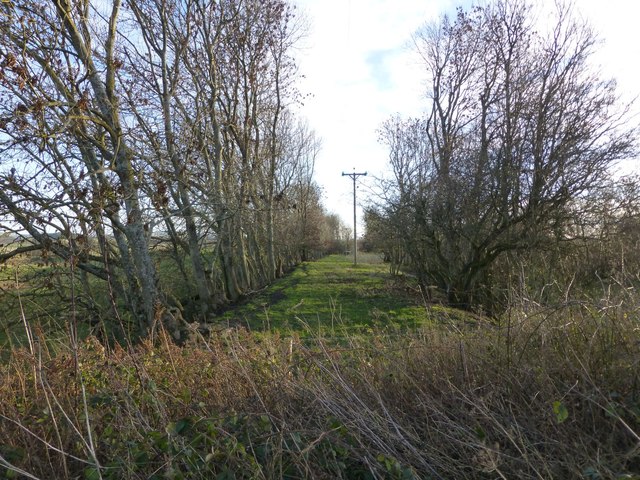
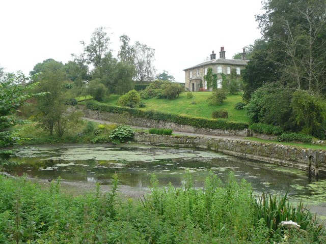
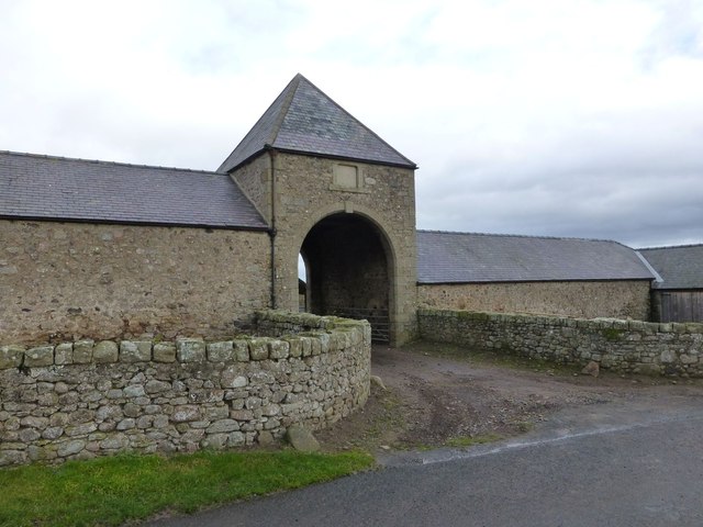
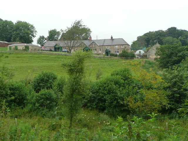
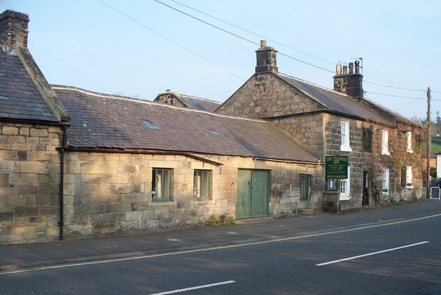
Wooperton is a hamlet in Northumberland, located about 5 miles south of Wooler. Wooperton is located off the A697 road between Roseden and Powburn. There is a farm, Wooperton Hall, and a few residential buildings (including former estate workers' houses). There is also a large sawmill, located by the A697, about half a mile from the main settlement. In Medieval times Wooperton was the location of a more substantive village.[1] Historically, Wooperton was a township in the ancient parish of Eglingham. From 1866 to 1955, Wooperton was a civil parish, since then it has been part of Roddame Civil Parish.

from https://keystothepast.info/se…
Wooperton (Cheviotside)
- "This is the site of the deserted medieval village of Wooperton. It was first recorded in the late 13th century. A plan of Wooperton in 1817 shows a farm and …
Added by
Simon Cotterill
Co-Curate Page
Powburn
- Overview About Powburn Map Street View Powburn is a small village on the A697 in Northumberland, England about south of Wooler and northwest of Alnwick. Landmarks The Devil's Causeway …
Co-Curate Page
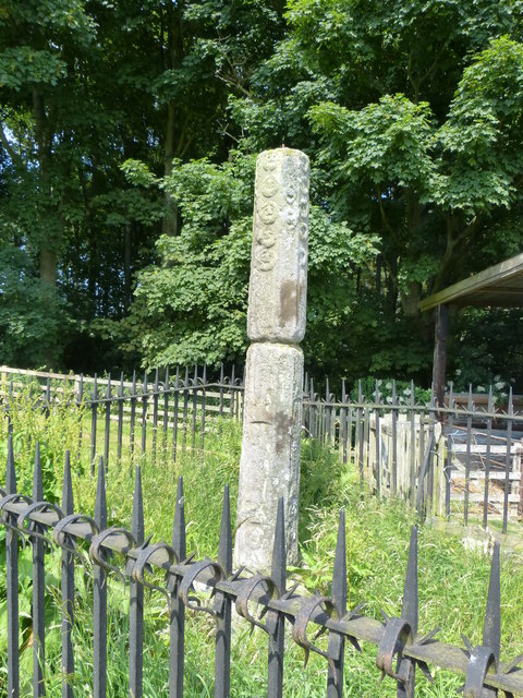
Percy's Cross (between Powburn & Wooperton)
- Overview Map This is a 15th century wayside cross, located close to the A697 road between Powburn and Wooperton in Northumberland. The cross commemorates Sir Ralph Percy who was killed near …

Co-Curate Page
Eglingham Parish, 1855
- Extract from: History, Topography, and Directory of Northumberland...Whellan, William, & Co, 1855. EGLINGHAM PARISH EGLINGHAM parish is bounded on the north by Glendale Ward, on the west by the …

from https://keystothepast.info/se…
Wooperton (Cheviotside)
- "This is the site of the deserted medieval village of Wooperton. It was first recorded in the late 13th century. A plan of Wooperton in 1817 shows a farm and …
Added by
Simon Cotterill
Co-Curate Page
Powburn
- Overview About Powburn Map Street View Powburn is a small village on the A697 in Northumberland, England about south of Wooler and northwest of Alnwick. Landmarks The Devil's Causeway …
Co-Curate Page
Percy's Cross (between Powburn & Wooperton)
- Overview Map This is a 15th century wayside cross, located close to the A697 road between Powburn and Wooperton in Northumberland. The cross commemorates Sir Ralph Percy who was killed near …