Topics > Northumberland > Pawston
Pawston
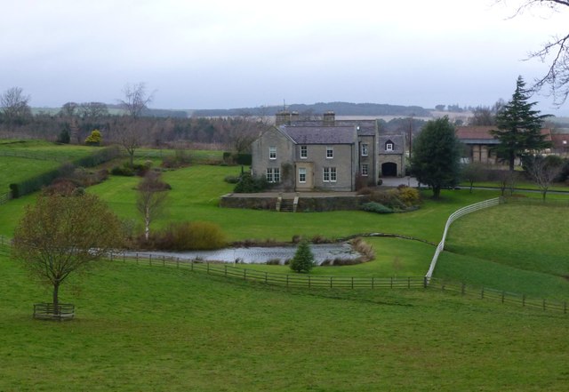
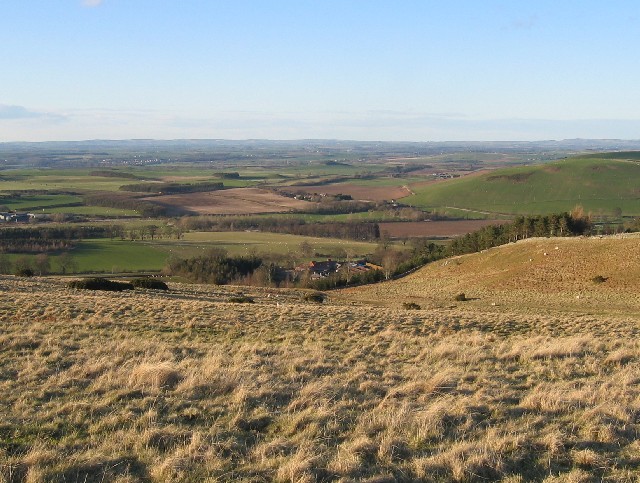
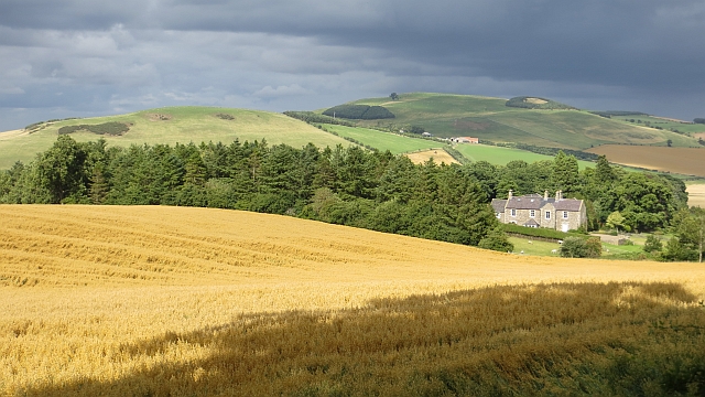
Pawston is a hamlet in Northumberland. Pawston incorporates the site of the deserted medieval village of Thornington, which was first recorded in 1296.[1] To the south-west of Pawston, there are the remains of an Iron Age hillfort on Pawston Hill.
PASTON, a township, in the parish of Kirk-Newton, union of Glendale, W. division of Glendale ward, N. division of Northumberland, 6 miles (S.) from Coldstream; containing 199 inhabitants. The township is situated on the river Beaumont, and comprises 2360 acres, of which 1453 are arable, 780 pasture, and 127 wood; the soil is a light loam, well adapted for turnip husbandry. There are some quarries of whinstone for building and for the roads. The remains of a circular camp are still visible on the summit of Paston Hill; it appears to have been a double intrenchment, the outer trench 400 yards in circumference. At the western base of the hill, in removing a cairn of stones in 1838, a small earthen urn was found, containing ashes and small pieces of burnt bones.
Extract from: A Topographical Dictionary of England comprising the several counties, cities, boroughs, corporate and market towns, parishes, and townships..... 7th Edition, by Samuel Lewis, London, 1848.

from https://keystothepast.info/se…
Pawston (Kilham)
- "This is the site of the deserted medieval village of Thornington. It was first recorded in 1296. The village was occupied by estate cottages throughout most of the 19th century, …
Added by
Simon Cotterill
from http://www.gatehouse-gazettee…
PAWSTON TOWER
- "Pre 1541 Pele Tower built up into house. A stone vault covers the basement. (Keys to the Past)
Embedded in modern house at Paston, a medieval tower with vaulted basement …
Added by
Simon Cotterill

from https://historicengland.org.u…
FARMBUILDINGS CIRCA 60 YARDS NORTH EAST OF PAWSTON HOUSE - List Entry
- "Farmbuildings. C18. Random rubble with Scottish and Welsh slate roofs. L-plan. Single-storey shelter sheds with 2-storey stable and granary projecting to rear.
East facade, facing road, has long blank wall …
Added by
Simon Cotterill
from https://historicengland.org.u…
SUNDIAL BASE CIRCA 30 YARDS SOUTH OF PAWSTON OLD HOUSE - List Entry
- "Base to sundial. Probably C17. Sandstone. Round plinth and round column c. 3 ft. high, the base decorated with foliage. Half way up the column are grotesque heads and festoons. …
Added by
Simon Cotterill
from https://historicengland.org.u…
CARTSHEDS AND COTTAGE CIRCA 100 YARDS NORTH EAST OF PAWSTON HOUSE - List Entry
- "Cottage and attached cartsheds. Early C19. Random rubble with ashlar dressings and Welsh slate roof. Single storey. 7 irregular bays. 5 left bays are the cottage with 6-pane sashes in …
Added by
Simon Cotterill
Co-Curate Page
Mindrum
- Overview About Mindrum Map Street View Mindrum is a distributed village in Northumberland, located about 1½ miles from the border with Scotland. It is situated by Bowmont Water (river) and …

from https://keystothepast.info/se…
Pawston (Kilham)
- "This is the site of the deserted medieval village of Thornington. It was first recorded in 1296. The village was occupied by estate cottages throughout most of the 19th century, …
Added by
Simon Cotterill
from http://www.gatehouse-gazettee…
PAWSTON TOWER
- "Pre 1541 Pele Tower built up into house. A stone vault covers the basement. (Keys to the Past)
Embedded in modern house at Paston, a medieval tower with vaulted basement …
Added by
Simon Cotterill
from https://historicengland.org.u…
FARMBUILDINGS CIRCA 60 YARDS NORTH EAST OF PAWSTON HOUSE - List Entry
- "Farmbuildings. C18. Random rubble with Scottish and Welsh slate roofs. L-plan. Single-storey shelter sheds with 2-storey stable and granary projecting to rear.
East facade, facing road, has long blank wall …
Added by
Simon Cotterill
from https://historicengland.org.u…
SUNDIAL BASE CIRCA 30 YARDS SOUTH OF PAWSTON OLD HOUSE - List Entry
- "Base to sundial. Probably C17. Sandstone. Round plinth and round column c. 3 ft. high, the base decorated with foliage. Half way up the column are grotesque heads and festoons. …
Added by
Simon Cotterill
from https://historicengland.org.u…
CARTSHEDS AND COTTAGE CIRCA 100 YARDS NORTH EAST OF PAWSTON HOUSE - List Entry
- "Cottage and attached cartsheds. Early C19. Random rubble with ashlar dressings and Welsh slate roof. Single storey. 7 irregular bays. 5 left bays are the cottage with 6-pane sashes in …
Added by
Simon Cotterill


