Topics > Places > Deserted Medieval Village
Deserted Medieval Village
See also: Shrunken Medieval Village

Co-Curate Page
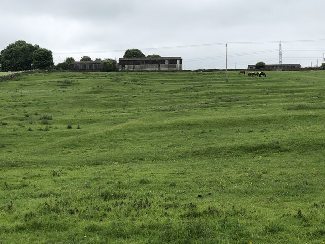
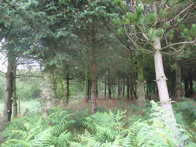
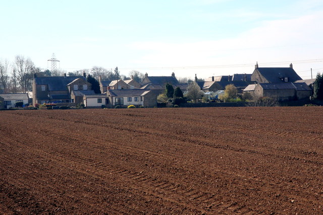
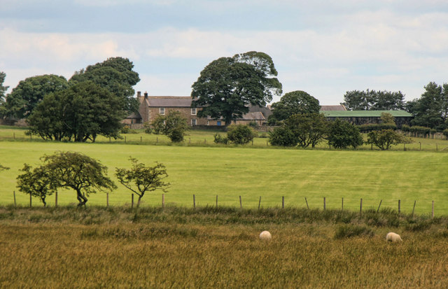
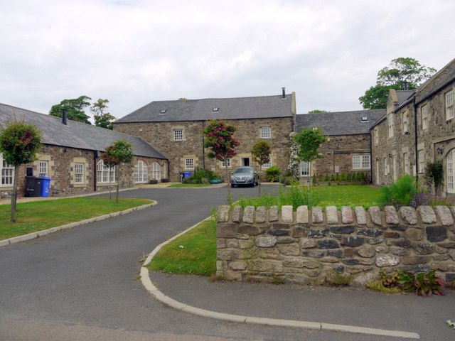
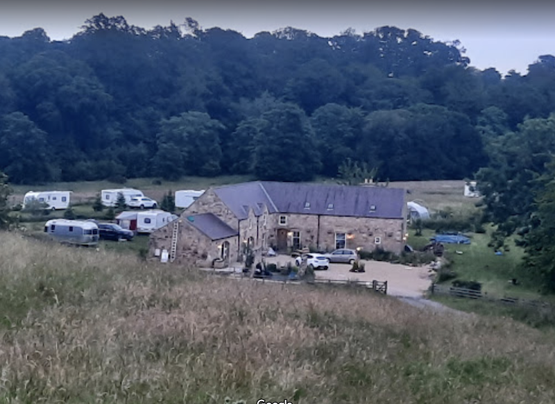
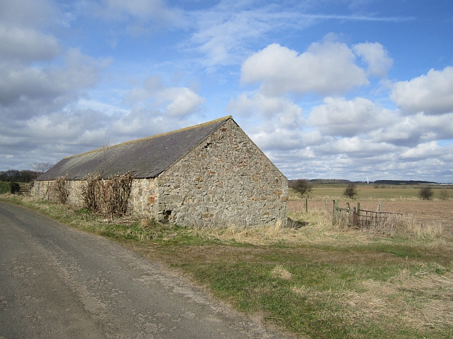
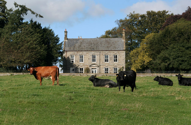
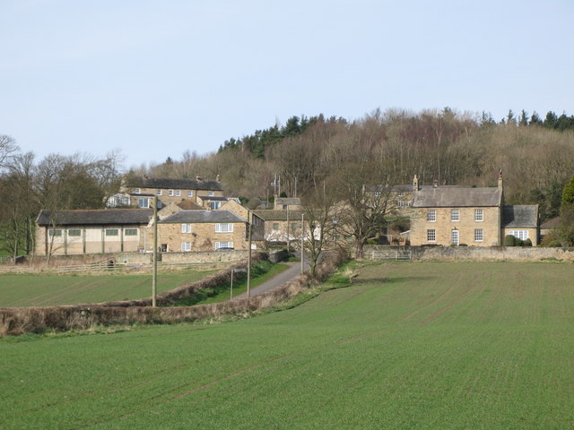
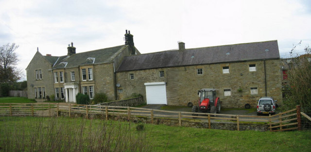
Medieval Village (remains), Abberwick
- Scheduled Monument areas - based on Historic England data (Open Government Licence). The remains of the deserted medieval village of Abberwick and located immediately West of Abberwick Farm. They include the …
Co-Curate Page
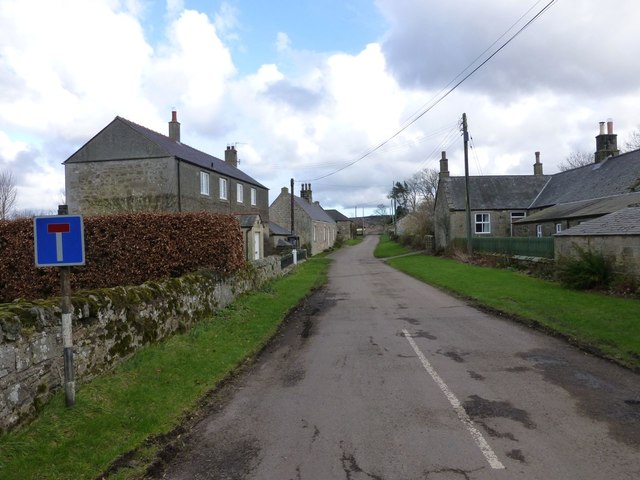
Twizell (Duddo)
- Twizell was a large estate during medievel times located by the River Till in Northumberland, in what is today the civil parish of Duddo. There is evidence of a deserted …
Co-Curate Page
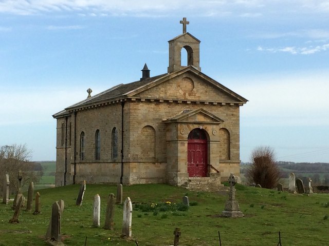
Deserted Medieval Village and Chapel, Tughall
- The village of Tughall was recorded as being part of the barony of Alnwick in 1242. The ruins of its 12th century chapel and its graveyard are located at the …
Co-Curate Page
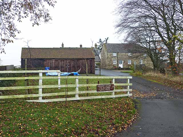
Ouston, West Allen Dale
- Ouston is a hamlet in West Allen Dale in Northumberland. It is within the civil parish of Plenmeller with Whitfield. There was a village at Ouston, first recorded in 1279, but it …
Co-Curate Page
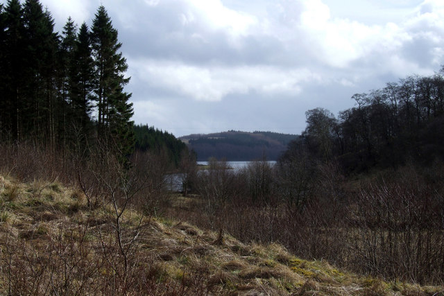
Plashetts
- Plashetts was a village in Northumberland, located roughly 4 miles north-west of Falstone. There was farm here and possibly a deserted medieval settlement. Then in the 1850s Plashetts Colliery was opened …
Co-Curate Page
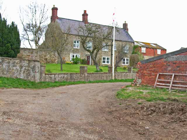
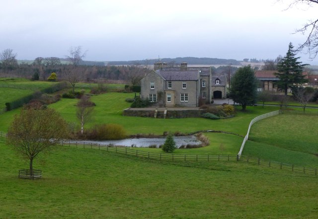
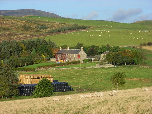
Tursdale House Farm
- Overview Map Tursdale House, was the manor house of the medieval village of Tursdale in the 12th century.[1] The current building at Tursdale House Farm dates from the 17th century, with …
Co-Curate Page
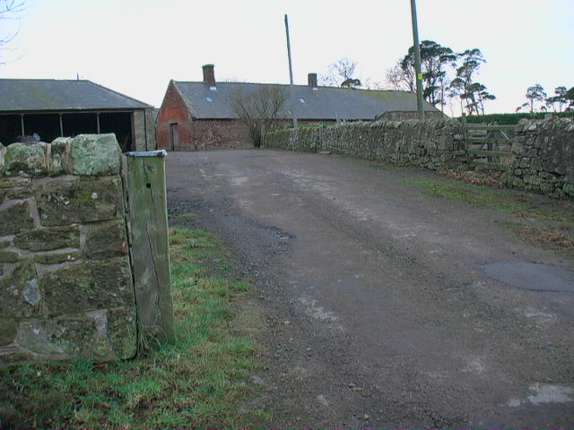
Buteland
- Buteland is a hamlet in Northumberland located just under a mile south-east of Redesmouth. There are earthwork remains of a deserted medieval village here.[1] Buteland, along with Broomhope, formed a …
Co-Curate Page
Healey Hall
- Overview Map Healey Hall is located by Healey Burn, about half a mile south of the village of Healey in Northumberland. Healey Hall was built by Robert Ormston in 1834, …
Co-Curate Page
Coldmartin
- Coldmartin is located south-east of Wooler in Northumberland. It is the site of a Medieval deserted village.[1] Today in the area, there are hamlets at Coldmartin (NU00562717), Coldmarin Croft Farm …
Co-Curate Page
Pawston
- Overview Map Street View Pawston is a hamlet in Northumberland. Pawston incorporates the site of the deserted medieval village of Thornington, which was first recorded in 1296.[1] To the south-west …
Co-Curate Page
Twizell (Whalton)
- Overview Map Street View Twizell and Twizell Cottages are hamlets in the Civil Parish of Whalton in Northumberland. Twizell Cottages are located about 3½ miles north of Ponteland and 5 …
Co-Curate Page
West Thickley
- Overview Map Street View Low West Thickley and High West Thickley are farms in County Durham, located off Brusselton Lane, to the south-west of Shildon. The earthwork remains of the …
Co-Curate Page
Houghton
- Overview Map Street View Houghton is a hamlet in Northumberland, located a short distance west of Heddon on the Wall. The settlement includes two farms, the Houghton Country equestrian centre and …
Co-Curate Page
Rokeby
- Today Rokeby is a civil parish near Barnard Castle, County Durham, in Teesdale, close to the boundary with North Yorkshire. The A66, one of the main roads across the north Pennines, …
Co-Curate Page
Farnham
- Overview Map Street View The hamlets of Low Farnham and High Farnham are situated by the River Coquet, located about 5 miles west of Rothbury in Northumberland. Low Farnham is …
Co-Curate Page
Wreighill
- Overview Map Wreighill Farm is located by Wreighill Pike (hill), about 1 mile north of the village of Hepple and 5 miles west of Rothbury in Northumberland. There was once …
Co-Curate Page
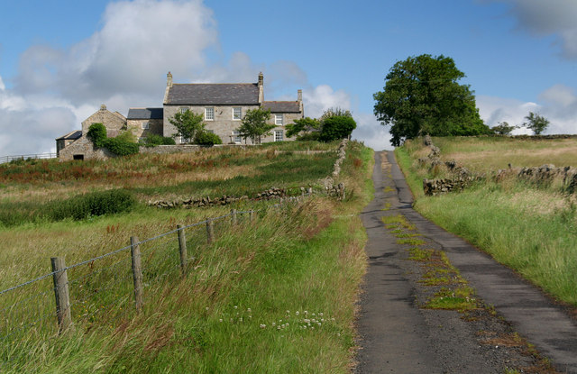
High Fotherley
- Overview Map High Fotherley is a farmstead/hamlet in the south of Northumberland, located about 6½ miles south-east of Hexham and 2½ miles south of Riding Mill. The medieval village of …
Co-Curate Page
Wooperton
- Overview Map Street View Wooperton is a hamlet in Northumberland, located about 5 miles south of Wooler. Wooperton is located off the A697 road between Roseden and Powburn. There is a farm, Wooperton …
Co-Curate Page
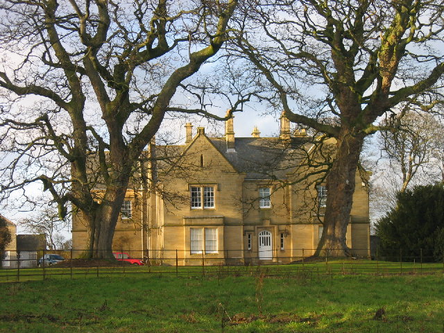
Higham Dykes
- Overview Map Higham Dykes is a hamlet in Northumberland, located just off the A696 road, about 2½ miles north-west of Ponteland. The large county house of Higham Dykes dates from …
Co-Curate Page
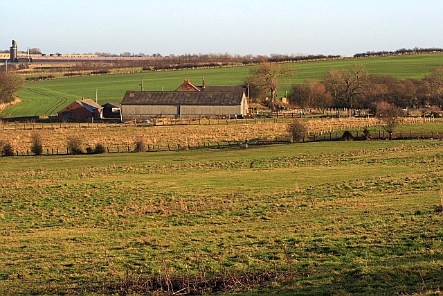
Coxhoe Medieval Settlement
- Overview Map The buried remains of the Medieval village of Coxhoe are located to the south-west of East House Farm, roughly half way between the modern villages of Coxhoe and …
Co-Curate Page
Budle
- Overview Map Street View Budle is a hamlet in Northumberland, located on the south side of Budle Bay and about 1 mile west of Bamburgh. There was a medieval village …
Co-Curate Page
Warenton
- Overview Map Street View Warenton is a hamlet in Northumberland, located about 2 miles south of Belford. It is situated to the south of Mousen Burn as it flows through Warenton …
Co-Curate Page
Throphill
- Overview Map Street View Throphill is a farm/hamlet in Northumberland, located off the B6343 road, about 4 miles west of Morpeth. There is a farm, Throphill Grange (now including a …
Co-Curate Page
Newsham deserted medieval village
- Newsham (the place name means 'the new dwelling') was a substantial village around the 12th century, but the settlement had been deserted by 1600. The few visible remains would be …
Co-Curate Page
Walkmill (near Warkworth)
- Overview Map WALKMILL, a township, in the parish of Warkworth, union of Alnwick, E. division of Coquetdale ward, N. division of Northumberland; containing 5 inhabitants. It is situated on the …
Co-Curate Page
Rivergreen
- Overview Map Street View Rivergreen is a hamlet in Northumberland, situated by the River Wansbeck, located to the west of Mitford. Rivergreen is the site of the deserted medieval village …
Co-Curate Page
Saltwick
- Overview Map Street View SALTWICK, a township, in the N. division of the parish of Stannington, union, and W. division, of Castle ward, S. division of Northumberland, 5 miles (S.S.W.) …
Co-Curate Page
Berrington
- Overview Map Street View Berrington is a hamlet in Northumberland, situated near Berrington Burn and located about 6 miles south of Berwick upon Tweed. Berrington was first recorded in 1208; …
Co-Curate Page
Lowlynn
- Overview Map Street View Lowlynn (aka Low Lynn, Lowlin) is a distributed hamlet in Northumberland, which includes Lowynn Farm, Lowlynn House and Lowlynn Mill. It is located about 8 miles …
Co-Curate Page
Coldcoats, Ponteland
- The hamlets of West Cotes [aka West Coldcoats] (NZ13357439), Middle Coldcoats (NZ143877485) and East Coldcoats (NZ13357439) are situated by Coldcoats Burn, a tributary of the River Pont in Northumberland. They …
Co-Curate Page
Darras Hall
- Overview Map Street View Darras Hall is a large and exclusive estate at the south-west of Ponteland. The medieval village of Darras Hall was first recorded in the 13th century, …
Co-Curate Page
Warton
- Overview Map Street View Warton is a hamlet in Northumberland, located about 3½ miles west of Rothbury and 16 miles north-west of Morpeth. Warton Burn flows near the settlment and …
from https://historicengland.org.u…
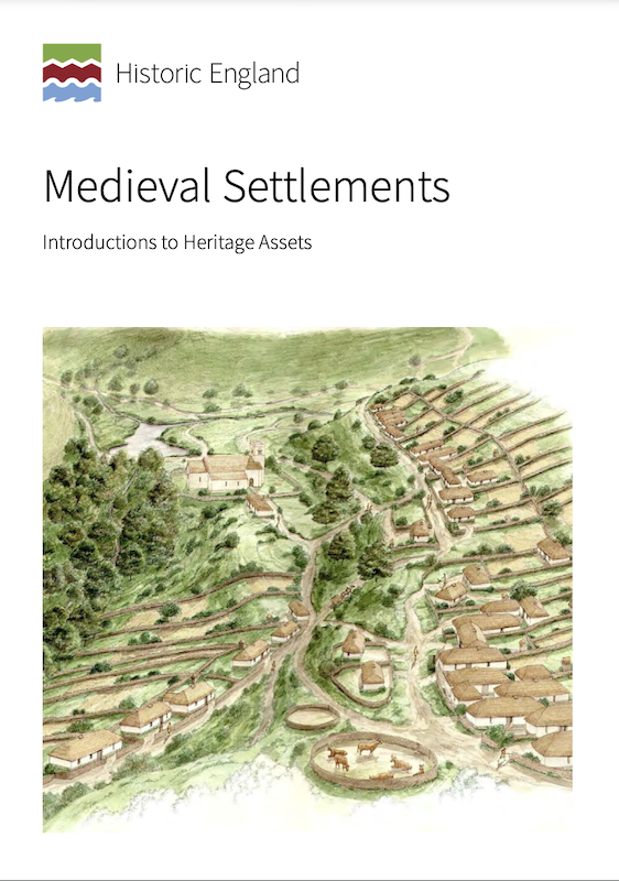
Medieval Settlements - Introductions to Heritage Assets
- Historic England (2018) Medieval Settlements: Introductions to Heritage Assets. Swindon. Historic England. "....This IHA provides an introduction to medieval settlements, ranging from individual
farms, through hamlets of a few households, …
Added by
Simon Cotterill
Co-Curate Page
Newton Underwood, Northumberland
- Overview Map Street View Newton Underwood is a farm / hamlet in Northumberland, located about 3 miles west of Morpeth. It is the site of a deserted Medieval village, and …
Co-Curate Page
Tofts, Haydon Bridge
- Tofts is a hamlet located north of Haydon Bridge in Northumberland. Tofts Farm is located at the end of Tofts Bank, the road which climbs the hill from North Bank …
Co-Curate Page
Frankham, Northumberland
- Overview Map Street View Frankham is a hamlet and farm, located a short distance north of the village of Fourstones in Northumberland. It was the site of a medieval village.[1] …
Co-Curate Page
Holburn
- Overview Map Street View Holburn is a hamlet in Northumberland, located about 2½ miles south-east of the village of Lowick. There was a substantial settlement here during Medieval times, and …
Co-Curate Page
Scrainwood
- Overview Map Street View Scrainwood is a farm and hamlet in Northumberland, located just under a mile south-west of Alnham and a mile north of Netherton. Scrainwood Burn runs through the …
Co-Curate Page
Shipley
- Overview Map Shipley is a distributed community within the Civil Parish of Eglingham in Northumberland, located about 3½ miles north-west of Alnwick. Shipley Farm is located to the south of …

Co-Curate Page
Site of Bells Chapel
- Overview Map The site of Bells Chapel (also known as Bell's Kirk) is located by Bells Burn, close to the England Scotland border, a short distance south-west of Bellsburnfoot, roughly …

Co-Curate Page
Hobberlaw
- Overview Map Street View Hobberlaw is a farm in Northumberland, located off Rugley Road, south west of Alnwick. A settlement existed here in medieval times, which was part of the …

Co-Curate Page
West Thornton
- THORNTON, WEST, a township, in the parish of Hartburn, union, and W. division of the ward, of Morpeth, N. division of Northumberland, 7¼ miles (W. by N.) from Morpeth; containing …
Co-Curate Page
Allensgreen, Bardon Mill
- Overview Map Allensgreen (aka Allen's Green) is a farm / hamlet in Northumberland, located about 1½ miles south-west of Bardon Mill. It is situated near Allensgreen Burn. There was once …

Co-Curate Page
Brunton (Embleton)
- Overview Map Street View Brunton is a hamlet in Northumberland, situated by Brunton Burn, about 7 miles north of Alnwick. High Brunton is thought to be the site of the …
Co-Curate Page
Archdeacon Newton Medieval Settlement
- Note: Scheduled Monument area - map data from Historic England c/o Open Data UK, under the Open Government Licence, imported into Google MyMaps, March 2026. Archdeacon Newton is the site …
Co-Curate Page
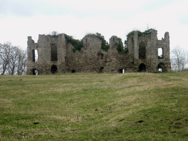
Edlingham Deserted Medieval Village
- Scheduled Monument areas - based on Historic England data (Open Government Licence). To the south of St John's Church in Edlingham is the probable site of the deserted medieval village …
Co-Curate Page
East Matfen medieval village
- Map showing the Scheduled Monument area of East Matfen medieval village, with Matfen to the west. The site of East Matfen medieval village is located about a mile ESE of …
Co-Curate Page
Welton Medieval Settlement
- Scheduled Monument areas - based on Historic England data (Open Government Licence). Welton in Northumberland, situated to the south of Whittle Burn, is the site of a deserted medieval village. …
Co-Curate Page
Stainsby medieval village
- Scheduled Monument area - based on Historic England data (Open Government Licence). The remains of the medieval village of Stainsby and part of its open field system are located immediately …

Co-Curate Page
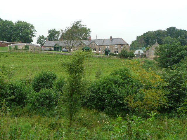
Medieval Village (remains), Abberwick
- Scheduled Monument areas - based on Historic England data (Open Government Licence). The remains of the deserted medieval village of Abberwick and located immediately West of Abberwick Farm. They include the …
Co-Curate Page
Twizell (Duddo)
- Twizell was a large estate during medievel times located by the River Till in Northumberland, in what is today the civil parish of Duddo. There is evidence of a deserted …
Co-Curate Page
Deserted Medieval Village and Chapel, Tughall
- The village of Tughall was recorded as being part of the barony of Alnwick in 1242. The ruins of its 12th century chapel and its graveyard are located at the …
Co-Curate Page
Ouston, West Allen Dale
- Ouston is a hamlet in West Allen Dale in Northumberland. It is within the civil parish of Plenmeller with Whitfield. There was a village at Ouston, first recorded in 1279, but it …
Co-Curate Page
Plashetts
- Plashetts was a village in Northumberland, located roughly 4 miles north-west of Falstone. There was farm here and possibly a deserted medieval settlement. Then in the 1850s Plashetts Colliery was opened …
Co-Curate Page
Tursdale House Farm
- Overview Map Tursdale House, was the manor house of the medieval village of Tursdale in the 12th century.[1] The current building at Tursdale House Farm dates from the 17th century, with …
Co-Curate Page
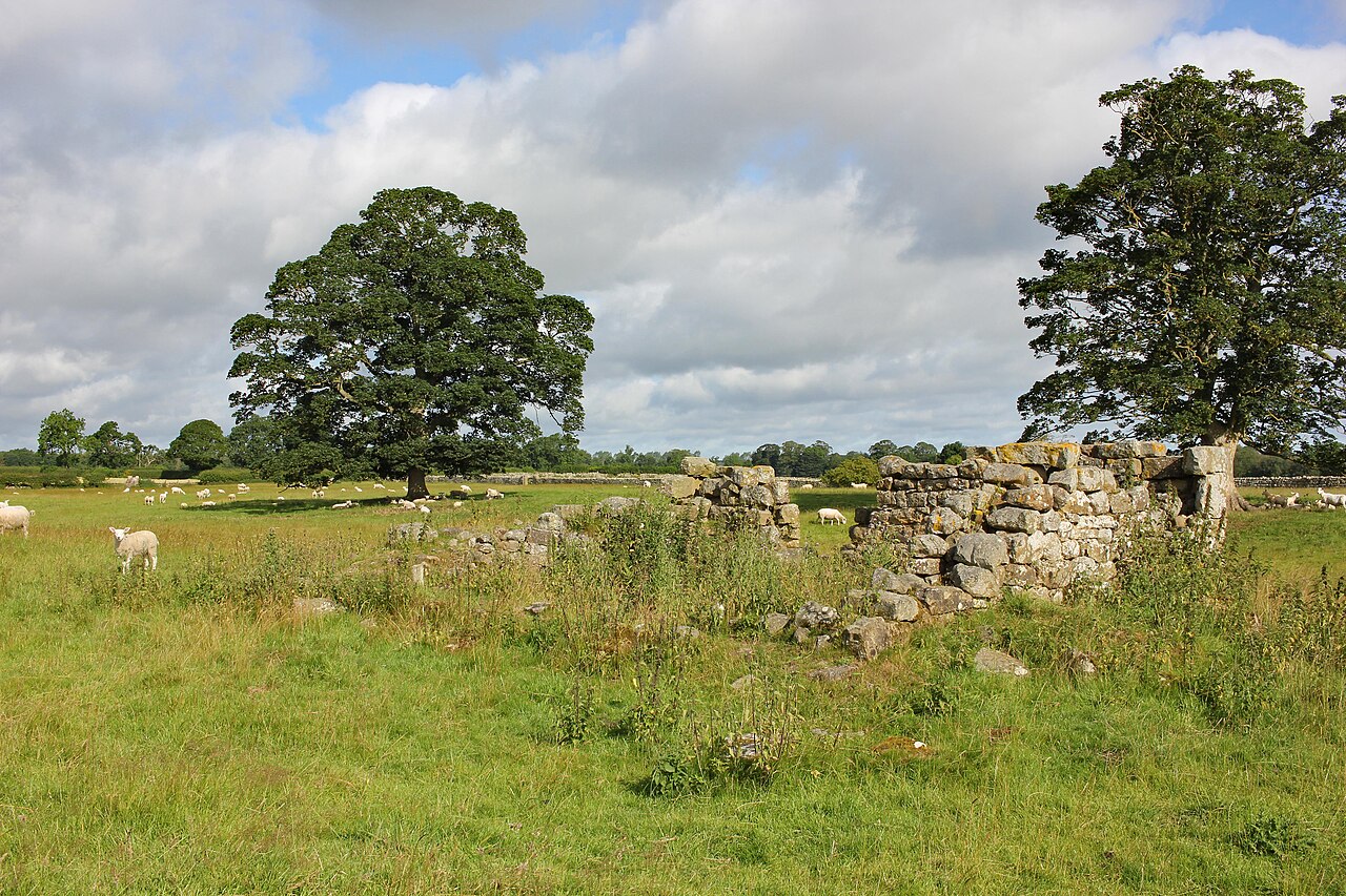
Buteland
- Buteland is a hamlet in Northumberland located just under a mile south-east of Redesmouth. There are earthwork remains of a deserted medieval village here.[1] Buteland, along with Broomhope, formed a …
Co-Curate Page
Healey Hall
- Overview Map Healey Hall is located by Healey Burn, about half a mile south of the village of Healey in Northumberland. Healey Hall was built by Robert Ormston in 1834, …
Co-Curate Page
Coldmartin
- Coldmartin is located south-east of Wooler in Northumberland. It is the site of a Medieval deserted village.[1] Today in the area, there are hamlets at Coldmartin (NU00562717), Coldmarin Croft Farm …
Co-Curate Page
Pawston
- Overview Map Street View Pawston is a hamlet in Northumberland. Pawston incorporates the site of the deserted medieval village of Thornington, which was first recorded in 1296.[1] To the south-west …
Co-Curate Page
Twizell (Whalton)
- Overview Map Street View Twizell and Twizell Cottages are hamlets in the Civil Parish of Whalton in Northumberland. Twizell Cottages are located about 3½ miles north of Ponteland and 5 …
Co-Curate Page
West Thickley
- Overview Map Street View Low West Thickley and High West Thickley are farms in County Durham, located off Brusselton Lane, to the south-west of Shildon. The earthwork remains of the …
Co-Curate Page
Houghton
- Overview Map Street View Houghton is a hamlet in Northumberland, located a short distance west of Heddon on the Wall. The settlement includes two farms, the Houghton Country equestrian centre and …
Co-Curate Page
Rokeby
- Today Rokeby is a civil parish near Barnard Castle, County Durham, in Teesdale, close to the boundary with North Yorkshire. The A66, one of the main roads across the north Pennines, …
Co-Curate Page
Farnham
- Overview Map Street View The hamlets of Low Farnham and High Farnham are situated by the River Coquet, located about 5 miles west of Rothbury in Northumberland. Low Farnham is …
Co-Curate Page
Wreighill
- Overview Map Wreighill Farm is located by Wreighill Pike (hill), about 1 mile north of the village of Hepple and 5 miles west of Rothbury in Northumberland. There was once …
Co-Curate Page
High Fotherley
- Overview Map High Fotherley is a farmstead/hamlet in the south of Northumberland, located about 6½ miles south-east of Hexham and 2½ miles south of Riding Mill. The medieval village of …
Co-Curate Page
Wooperton
- Overview Map Street View Wooperton is a hamlet in Northumberland, located about 5 miles south of Wooler. Wooperton is located off the A697 road between Roseden and Powburn. There is a farm, Wooperton …
Co-Curate Page
Higham Dykes
- Overview Map Higham Dykes is a hamlet in Northumberland, located just off the A696 road, about 2½ miles north-west of Ponteland. The large county house of Higham Dykes dates from …
Co-Curate Page
Coxhoe Medieval Settlement
- Overview Map The buried remains of the Medieval village of Coxhoe are located to the south-west of East House Farm, roughly half way between the modern villages of Coxhoe and …
Co-Curate Page
Budle
- Overview Map Street View Budle is a hamlet in Northumberland, located on the south side of Budle Bay and about 1 mile west of Bamburgh. There was a medieval village …
Co-Curate Page
Warenton
- Overview Map Street View Warenton is a hamlet in Northumberland, located about 2 miles south of Belford. It is situated to the south of Mousen Burn as it flows through Warenton …
Co-Curate Page
Throphill
- Overview Map Street View Throphill is a farm/hamlet in Northumberland, located off the B6343 road, about 4 miles west of Morpeth. There is a farm, Throphill Grange (now including a …
Co-Curate Page
Newsham deserted medieval village
- Newsham (the place name means 'the new dwelling') was a substantial village around the 12th century, but the settlement had been deserted by 1600. The few visible remains would be …
Co-Curate Page
Walkmill (near Warkworth)
- Overview Map WALKMILL, a township, in the parish of Warkworth, union of Alnwick, E. division of Coquetdale ward, N. division of Northumberland; containing 5 inhabitants. It is situated on the …
Co-Curate Page
Rivergreen
- Overview Map Street View Rivergreen is a hamlet in Northumberland, situated by the River Wansbeck, located to the west of Mitford. Rivergreen is the site of the deserted medieval village …
Co-Curate Page
Saltwick
- Overview Map Street View SALTWICK, a township, in the N. division of the parish of Stannington, union, and W. division, of Castle ward, S. division of Northumberland, 5 miles (S.S.W.) …
Co-Curate Page
Berrington
- Overview Map Street View Berrington is a hamlet in Northumberland, situated near Berrington Burn and located about 6 miles south of Berwick upon Tweed. Berrington was first recorded in 1208; …
Co-Curate Page
Lowlynn
- Overview Map Street View Lowlynn (aka Low Lynn, Lowlin) is a distributed hamlet in Northumberland, which includes Lowynn Farm, Lowlynn House and Lowlynn Mill. It is located about 8 miles …
Co-Curate Page
Coldcoats, Ponteland
- The hamlets of West Cotes [aka West Coldcoats] (NZ13357439), Middle Coldcoats (NZ143877485) and East Coldcoats (NZ13357439) are situated by Coldcoats Burn, a tributary of the River Pont in Northumberland. They …
Co-Curate Page
Darras Hall
- Overview Map Street View Darras Hall is a large and exclusive estate at the south-west of Ponteland. The medieval village of Darras Hall was first recorded in the 13th century, …
Co-Curate Page
Warton
- Overview Map Street View Warton is a hamlet in Northumberland, located about 3½ miles west of Rothbury and 16 miles north-west of Morpeth. Warton Burn flows near the settlment and …
from https://historicengland.org.u…
Medieval Settlements - Introductions to Heritage Assets
- Historic England (2018) Medieval Settlements: Introductions to Heritage Assets. Swindon. Historic England. "....This IHA provides an introduction to medieval settlements, ranging from individual
farms, through hamlets of a few households, …
Added by
Simon Cotterill
Co-Curate Page
Newton Underwood, Northumberland
- Overview Map Street View Newton Underwood is a farm / hamlet in Northumberland, located about 3 miles west of Morpeth. It is the site of a deserted Medieval village, and …
Co-Curate Page
Tofts, Haydon Bridge
- Tofts is a hamlet located north of Haydon Bridge in Northumberland. Tofts Farm is located at the end of Tofts Bank, the road which climbs the hill from North Bank …
Co-Curate Page
Frankham, Northumberland
- Overview Map Street View Frankham is a hamlet and farm, located a short distance north of the village of Fourstones in Northumberland. It was the site of a medieval village.[1] …
Co-Curate Page
Holburn
- Overview Map Street View Holburn is a hamlet in Northumberland, located about 2½ miles south-east of the village of Lowick. There was a substantial settlement here during Medieval times, and …
Co-Curate Page
Scrainwood
- Overview Map Street View Scrainwood is a farm and hamlet in Northumberland, located just under a mile south-west of Alnham and a mile north of Netherton. Scrainwood Burn runs through the …
Co-Curate Page
Shipley
- Overview Map Shipley is a distributed community within the Civil Parish of Eglingham in Northumberland, located about 3½ miles north-west of Alnwick. Shipley Farm is located to the south of …
Co-Curate Page
Site of Bells Chapel
- Overview Map The site of Bells Chapel (also known as Bell's Kirk) is located by Bells Burn, close to the England Scotland border, a short distance south-west of Bellsburnfoot, roughly …
Co-Curate Page
Hobberlaw
- Overview Map Street View Hobberlaw is a farm in Northumberland, located off Rugley Road, south west of Alnwick. A settlement existed here in medieval times, which was part of the …
Co-Curate Page
West Thornton
- THORNTON, WEST, a township, in the parish of Hartburn, union, and W. division of the ward, of Morpeth, N. division of Northumberland, 7¼ miles (W. by N.) from Morpeth; containing …
Co-Curate Page
Allensgreen, Bardon Mill
- Overview Map Allensgreen (aka Allen's Green) is a farm / hamlet in Northumberland, located about 1½ miles south-west of Bardon Mill. It is situated near Allensgreen Burn. There was once …
Co-Curate Page
Brunton (Embleton)
- Overview Map Street View Brunton is a hamlet in Northumberland, situated by Brunton Burn, about 7 miles north of Alnwick. High Brunton is thought to be the site of the …
Co-Curate Page
Archdeacon Newton Medieval Settlement
- Note: Scheduled Monument area - map data from Historic England c/o Open Data UK, under the Open Government Licence, imported into Google MyMaps, March 2026. Archdeacon Newton is the site …
Co-Curate Page
Edlingham Deserted Medieval Village
- Scheduled Monument areas - based on Historic England data (Open Government Licence). To the south of St John's Church in Edlingham is the probable site of the deserted medieval village …
Co-Curate Page
East Matfen medieval village
- Map showing the Scheduled Monument area of East Matfen medieval village, with Matfen to the west. The site of East Matfen medieval village is located about a mile ESE of …
Co-Curate Page
Welton Medieval Settlement
- Scheduled Monument areas - based on Historic England data (Open Government Licence). Welton in Northumberland, situated to the south of Whittle Burn, is the site of a deserted medieval village. …


