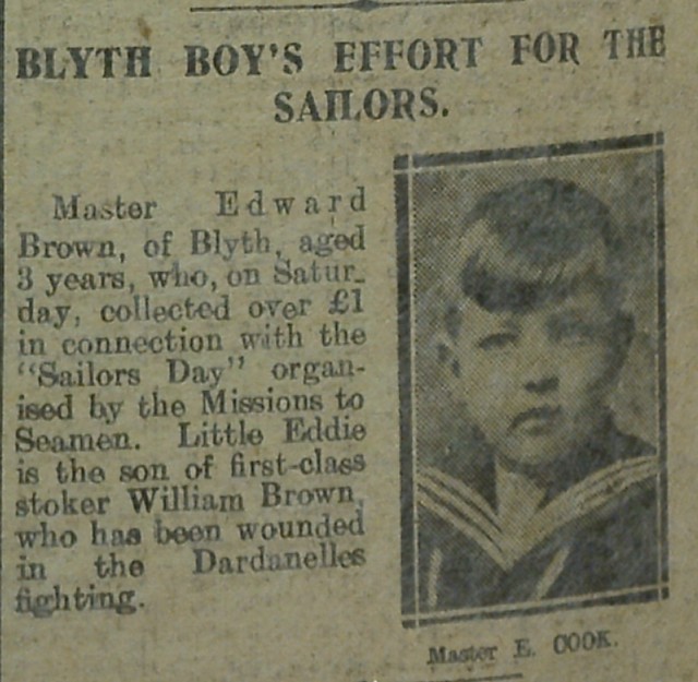
Topics > Northumberland > Blyth
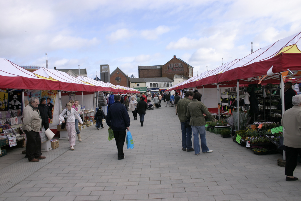
Blyth
The place-name 'Blyth' is first attested in 1130 as 'Blida', and takes its name from the river Blyth. The river-name comes from the Old English adjective 'blithe' meaning 'gentle' or 'merry', and still used today. Interestingly, the town of Blyth is referred to as 'Blithmuth' in 1236 and 'Blithemuth' in 1250. Had this name persisted, the town would today be referred to as 'Blythmouth', on the analogy of Tynemouth to the south.
Little is known of the early development of the Blyth area. The oldest archaeological find is an antler hammer dating from the late Neolithic or early Bronze Age period, which was found at Newsham in 1979.
Human skulls, a spearhead and a sword dating from the Bronze Age were found in the river in 1890, as well as a bronze axe which was found at South Beach in 1993, and a dagger found at Newsham. Although there is no conclusive evidence of a Roman presence in the area, an earthwork shown on early mapping of the area, at the location of present-day Freehold Street, is said to have been a Roman camp, but it has also been argued that it may be of Norsemen origin or date from the Civil War. Debate also surrounds a mosaic which was found near Bath Terrace. The strongest evidence so far has been a single coin, dating from the reign of the Emperor Constans (AD337–350), which was found during excavations for a dry dock.
Between the 12th and 18th centuries, there were several small settlements and some industrial activity in the area. The principal industries during this period were coal mining, fishing and the salt trade. Shipbuilding in the area dates from 1748.
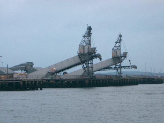
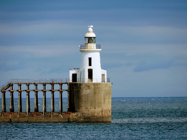
The modern town of Blyth began to develop in the first quarter of the 18th century. Up until 1716, the land around the Blyth area—the Newsham Estate—was owned by the Earls of Derwentwater, but when the third Earl, James Radclyffe, was executed for his part in the Jacobite rising of 1715, the land was forfeited to the crown. On 11 July 1723, the Lordship of Newsham was put up for sale by the Commissioners of Forfeited Estates at their office in the Inner Temple, London. The land was bought by Matthew White and his brother-in-law Richard Ridley. From the 12th century, most port activities were on the north side of the river, but under White and Ridley the first new quays and houses were built on the south side, and from here the port began to prosper. By 1730, a coaling quay, a ballast quay, a pilots' watch house and a lighthouse had all been built at Blyth harbour. In 1765 the first breakwater was constructed, and in 1788 the first staith with an elevated loading point was erected. Deep mines were sunk at Cowpen Colliery and Cowpen Square in 1796 and 1804 respectively, and by 1855, a quarter of a million tons of coal was being shipped from Blyth, rising to three million tons by 1900. The only industry not to survive during this prosperous time was the salt trade, which was heavily taxed during the 18th and early-19th centuries. During the Napoleonic Wars, the tax was increased to provide funds for the military and, even though the tax was abolished in 1825, the industry went into terminal decline. Having had fourteen salt pans at the beginning of the 18th century, exporting over 1,000 tons of salt annually, Blyth's salt industry closed in 1876, with the destruction of the last salt pan.
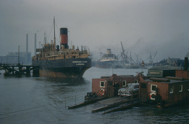
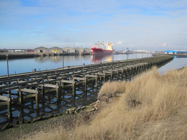
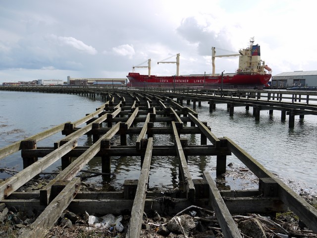
From the mid-19th century, several important events occurred which allowed the port of Blyth to rapidly expand. First, in 1847, a railway line was constructed, connecting Blyth to collieries at Seghill. This line combined with the existing line between Seghill and North Tyneside to form the Blyth and Tyne Railway. In 1853, the Blyth Harbour and Docks Board was formed, then in 1858 the Harbour Act was passed allowing dredging of the harbour to begin. In 1882, the formation of the Blyth Harbour Commission led to the building of new coal loading staiths, as well as the construction of the South Harbour.
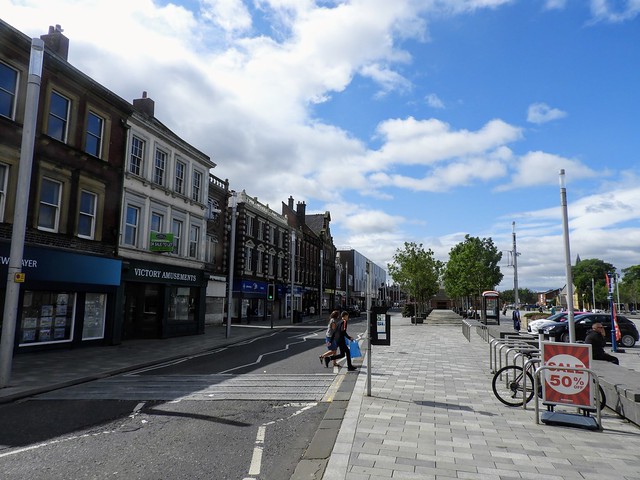
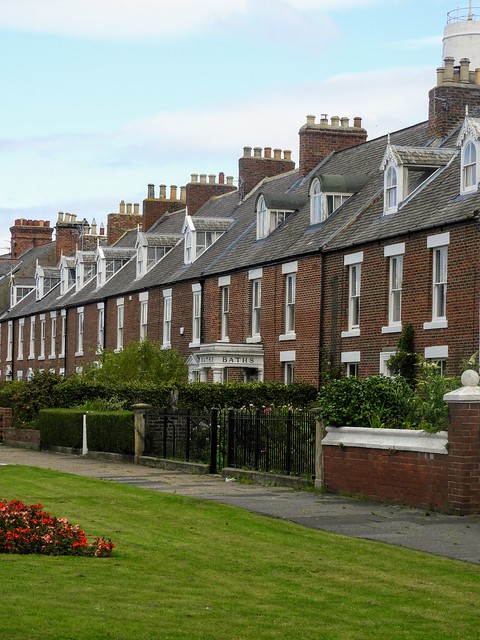
As trade in Blyth continued to grow, so did the population. Development of the Cowpen Quay and Waterloo areas began in about 1810 and 1815 respectively, and between the 1850s and 1890s major house building took place in these areas. Blyth railway station, first built in 1847, was relocated in 1867 and rebuilt in 1896, to cope with the increase in goods and passenger traffic. The 1890s saw the filling in of "the Slake" (also known as "the Flanker" or "the Gut"). The Slake was a tidal inlet which stretched south from the river, across the site of today's bus station, along the route of Beaconsfield Street, and on past Crofton Mill Pit. Before it was filled in, it almost entirely separated Blyth from Cowpen—Waterloo Bridge providing the only main link. Once it was removed, the two areas could combine and allow the town to begin to take its present form. The town continued to expand in the 20th century; much large-scale house building took place in the 1920s and 1930s, and from the 1950s to the 1970s.
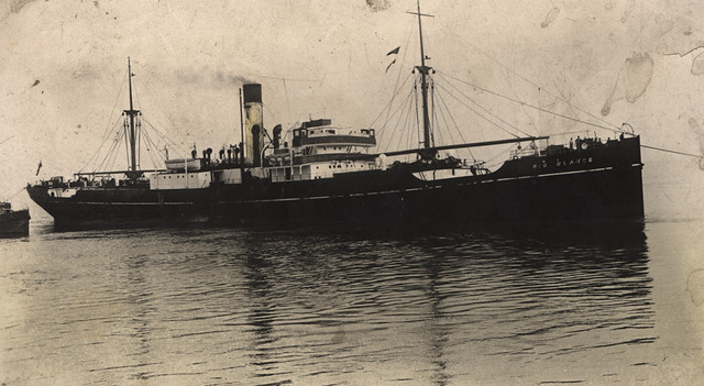
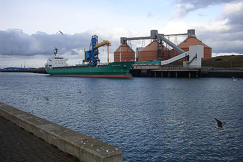
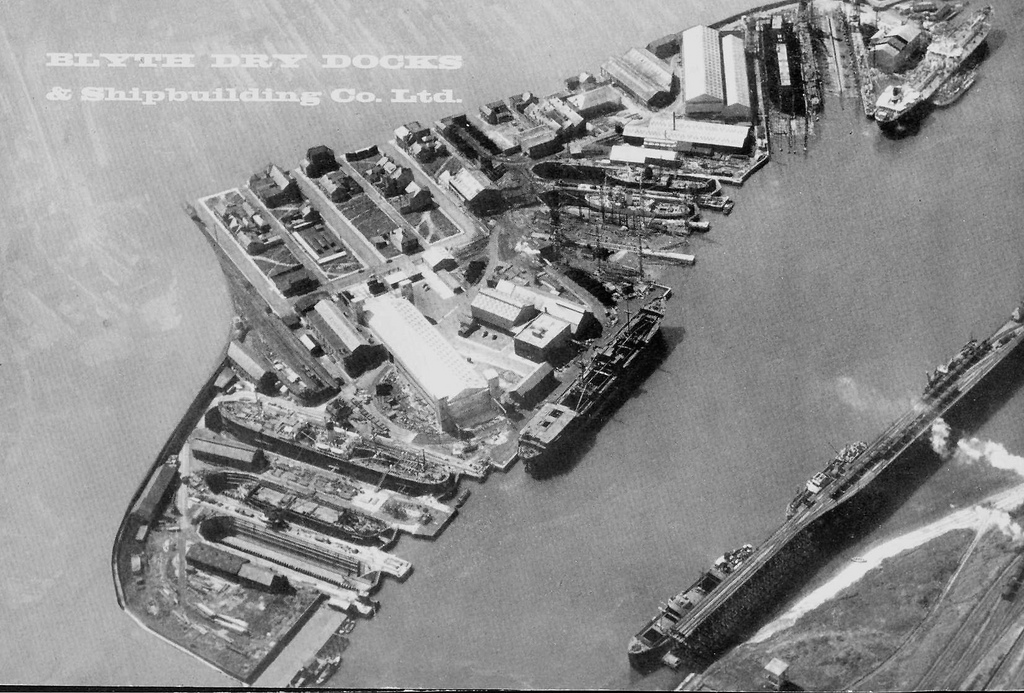
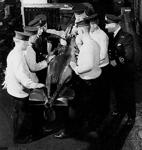
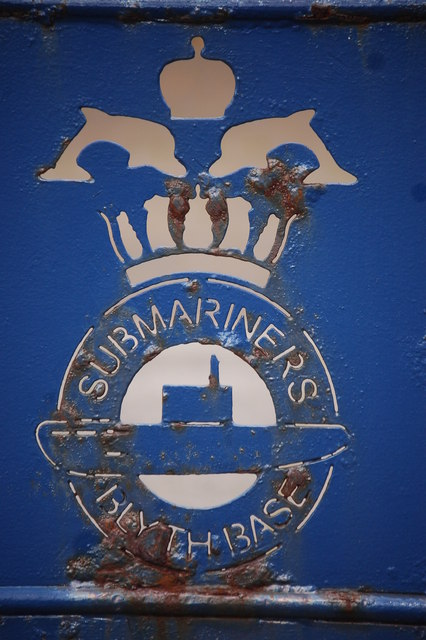
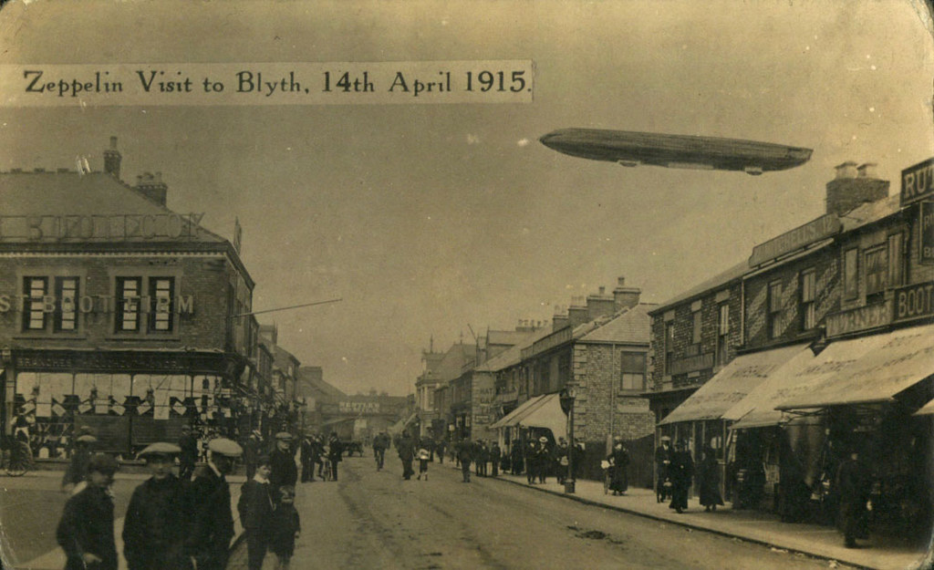
Industry in Blyth reached its peak in the first half of the 20th century. At this time it boasted one of the largest shipbuilding yards on the North East coast, with five dry docks and four building slipways. During the First and Second World Wars, the Blyth shipyards built many ships for the Royal Navy including the first aircraft carrier, HMS Ark Royal in 1914. Blyth also served as a submarine base during both wars. By 1930, the port of Blyth was exporting 5.5 million tons of coal, and by the early 1960s, reached its peak with over six million tons. Blyth A and Blyth B power stations, collectively known as Blyth Power Station, were opened in 1958 and 1962. Blyth A was the first power station in Britain to have 120 megawatt sets installed, while Blyth B was the first to be fitted with 275 megawatt sets.
During the 1960s, Blyth entered a period of steep decline. Following the Beeching report, the railway into Blyth was closed; and in 1966, economic depression resulted in the closure of the shipyards. As the demand for coal fell, due to the increasing use of oil, natural gas and nuclear power as energy sources, the following years saw the closure of many collieries in the area. By the 1980s, the only one left in the town was Bates' Pit, which closed in 1986. In January 2002, Blyth Power Station was closed and subsequently demolished in stages, until 7 December 2003, when its four chimneys were demolished.
Visit the page: Blyth, Northumberland for references and further details. You can contribute to this article on Wikipedia.
Google Map: drag to move the view, zoom in and out using the control (lower right-hand corner); switch to map view (lower left-hand control)
from http://blythbattery.org.uk/
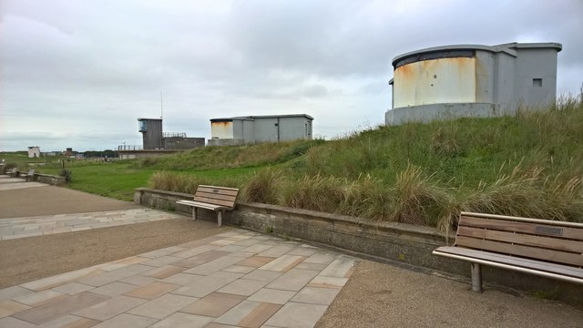
Blyth Battery
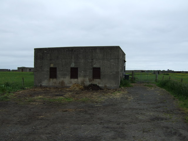
- "Blyth Battery is a coastal defence artillery battery, built in 1916 to defend the port of Blyth and the submarine base there during World War I, and upgraded for re-use …
Added by
Co-Curate Team

from http://books.google.co.uk/boo…
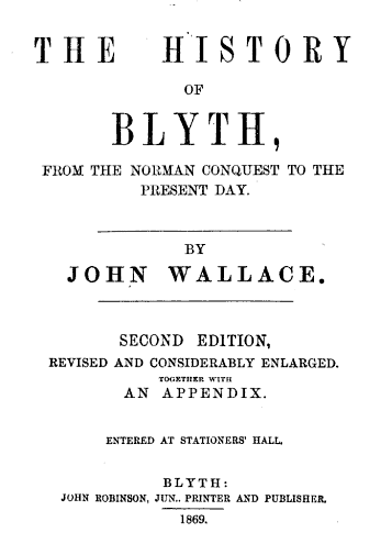
The history of Blyth, from the Norman conquest to the present day. John Wallace. 1869
- Book from 1869, digitised by Google and available as a free eBook.
Added by
Simon Cotterill
from Flickr (flickr)
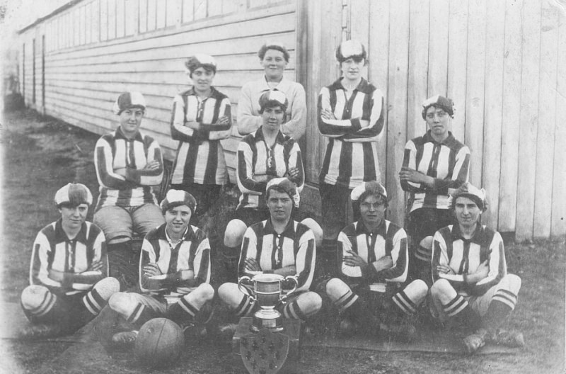
World War 1 - Football - Blyth Spartans Munition Girls - Munitionette Cup Winners 1918
Pinned by Pat Thomson
from Geograph (geograph)
Quayside commemoration of Blyth's role in two world wars
Pinned by Pat Thomson
from Flickr (flickr)
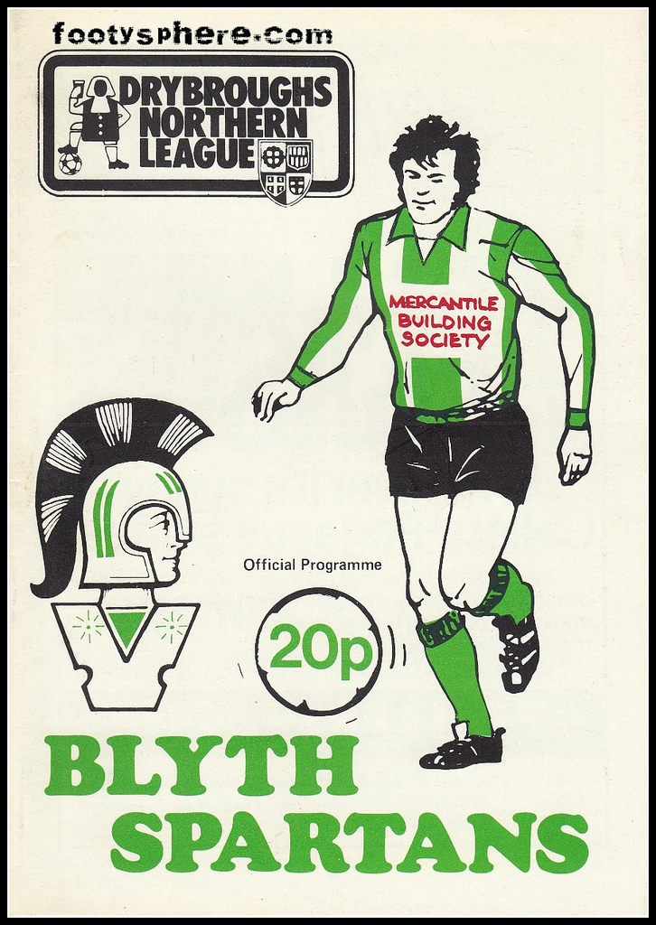
Blyth Spartans v North Shields - Northumberland Senior Cup 1987
Pinned by Simon Cotterill


from http://www.sailtrainingintern…
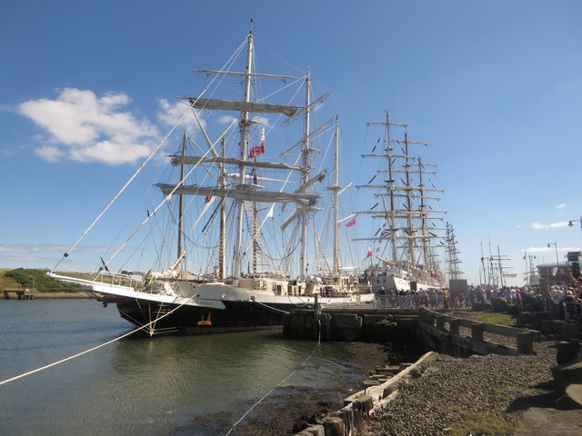
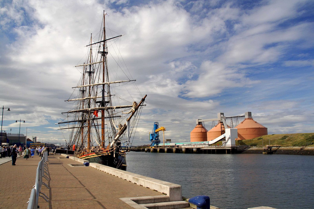
North Sea Tall Ships Regatta - Blyth 2016
- 26-29 August 2016
Added by
Pat Thomson
Co-Curate Page
Cambois
- Overview About Cambois Map Street View Cambios is a former mining village near Blyth in Northumberland. It grew with the establishement of Cambios Colliery in the mid 19th century. However, …
from Flickr (flickr)
Image taken from page 330 of 'The Local Historian's Table Book of remarkable occurrences, historical facts, traditions, legendary and descriptive ballads, connected with the Counties of Newcastle-upon-Tyne, Northumberland, and Durham. Historical Division.
Pinned by Simon Cotterill


from Youtube (youtube)
Blyth and Whitley Bay Flight With DJI Phantom Vision Plus
Pinned by Simon Cotterill
Co-Curate Page
Historic Buildings and Monuments in Blyth
- Listed Buildings, Scheduled Monuments and Conservation Areas in Blyth, Northumberland, from the National Heritage List for England. Also including buildings on the 'local list' of non-designated heritage assets. Use the …

from Geograph (geograph)
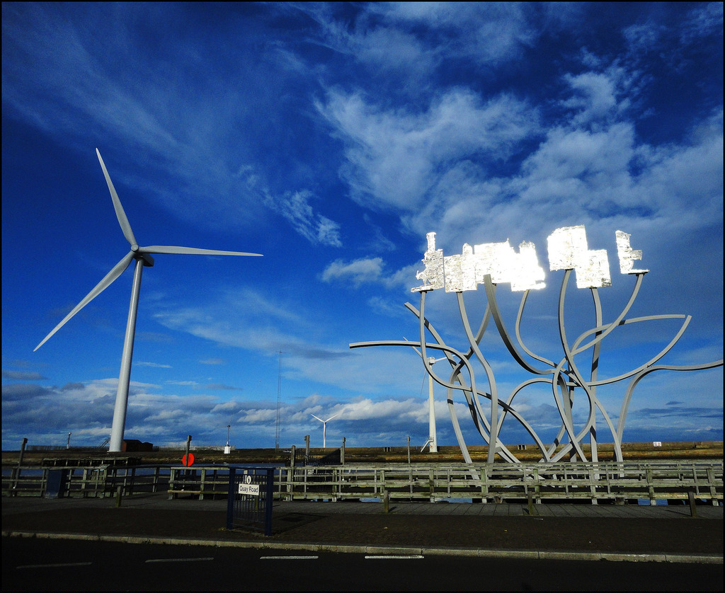
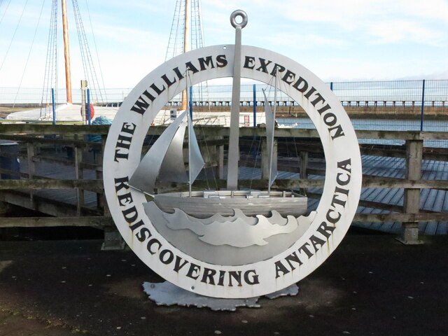
'Rediscovering Antarctica' Sculpture, Quay Road, Blyth
Pinned by Simon Cotterill

from Youtube (youtube)
Harbour defence ship HMS 'Falconet' launches at Blyth (1938)
Pinned by Simon Cotterill

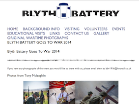
from http://blythbattery.org.uk/
Blyth Battery
- "Blyth Battery is a coastal defence artillery battery, built in 1916 to defend the port of Blyth and the submarine base there during World War I, and upgraded for re-use …
Added by
Co-Curate Team
from http://books.google.co.uk/boo…
The history of Blyth, from the Norman conquest to the present day. John Wallace. 1869
- Book from 1869, digitised by Google and available as a free eBook.
Added by
Simon Cotterill
from Flickr (flickr)
World War 1 - Football - Blyth Spartans Munition Girls - Munitionette Cup Winners 1918
Pinned by Pat Thomson
from Geograph (geograph)
Quayside commemoration of Blyth's role in two world wars
Pinned by Pat Thomson
from Flickr (flickr)
Blyth Spartans v North Shields - Northumberland Senior Cup 1987
Pinned by Simon Cotterill
from http://www.sailtrainingintern…
North Sea Tall Ships Regatta - Blyth 2016
- 26-29 August 2016
Added by
Pat Thomson
Co-Curate Page
Cambois
- Overview About Cambois Map Street View Cambios is a former mining village near Blyth in Northumberland. It grew with the establishement of Cambios Colliery in the mid 19th century. However, …
from Flickr (flickr)
Image taken from page 330 of 'The Local Historian's Table Book of remarkable occurrences, historical facts, traditions, legendary and descriptive ballads, connected with the Counties of Newcastle-upon-Tyne, Northumberland, and Durham. Historical Division.
Pinned by Simon Cotterill
from Youtube (youtube)
Blyth and Whitley Bay Flight With DJI Phantom Vision Plus
Pinned by Simon Cotterill
Co-Curate Page
Historic Buildings and Monuments in Blyth
- Listed Buildings, Scheduled Monuments and Conservation Areas in Blyth, Northumberland, from the National Heritage List for England. Also including buildings on the 'local list' of non-designated heritage assets. Use the …
from Geograph (geograph)
'Rediscovering Antarctica' Sculpture, Quay Road, Blyth
Pinned by Simon Cotterill
from Youtube (youtube)
Harbour defence ship HMS 'Falconet' launches at Blyth (1938)
Pinned by Simon Cotterill

Northumberland

Blyth at War
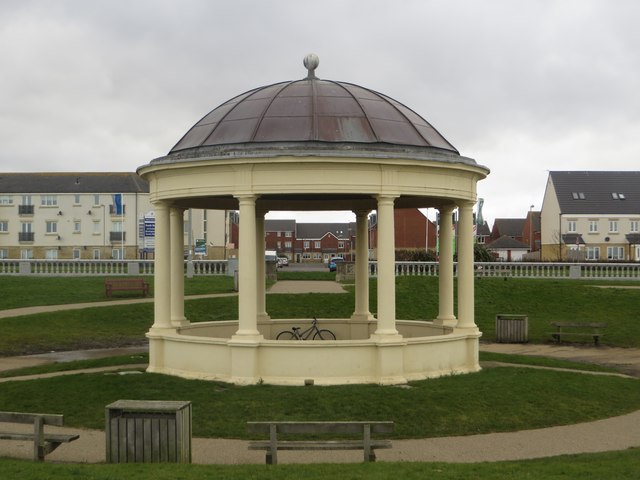
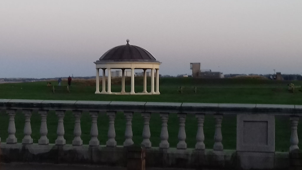
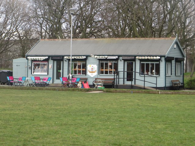
Bandstand, South Beach, Blyth
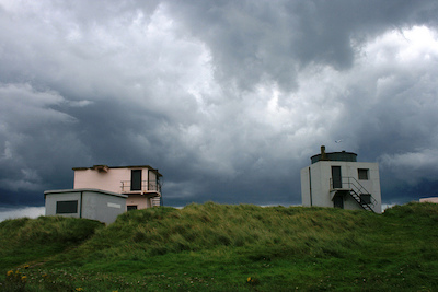
Blyth Battery

Blyth Central Conservation Area
Blyth Chain Ferry
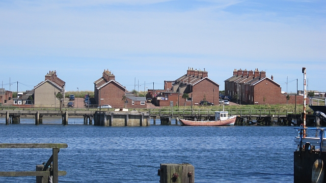
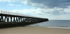
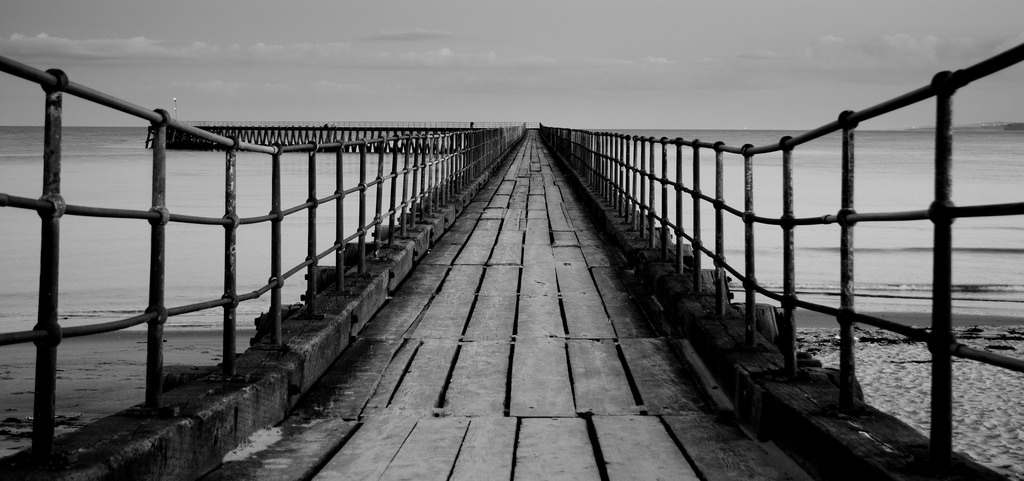
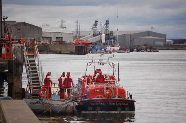
Blyth Harbour
Blyth Heritage Conservation Area

Blyth, 1848

Blyth, 1855
Blyth Bondicar Terrace Conservation Area

Bridge Street, Blyth
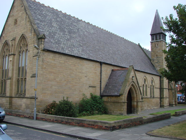
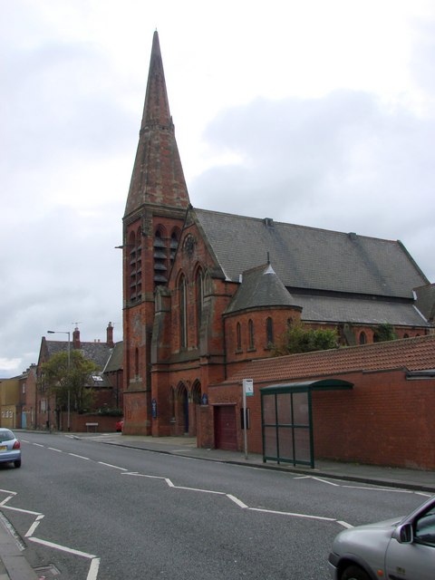
Church of Our Lady and St. Wilfrid, Blyth
Church of St Cuthbert RC, Cowpen, Blyth
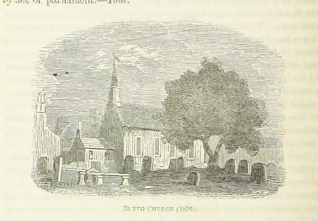
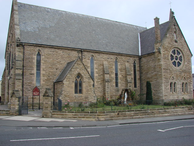
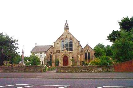
Church of St Mary, Blyth
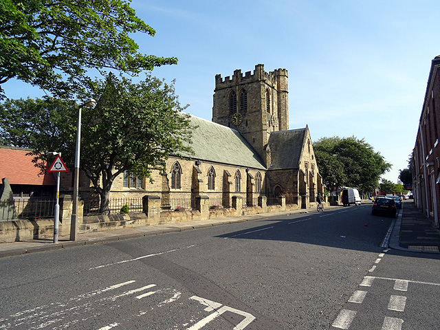
Church of St. Cuthbert, Blyth
Cowpen, Blyth
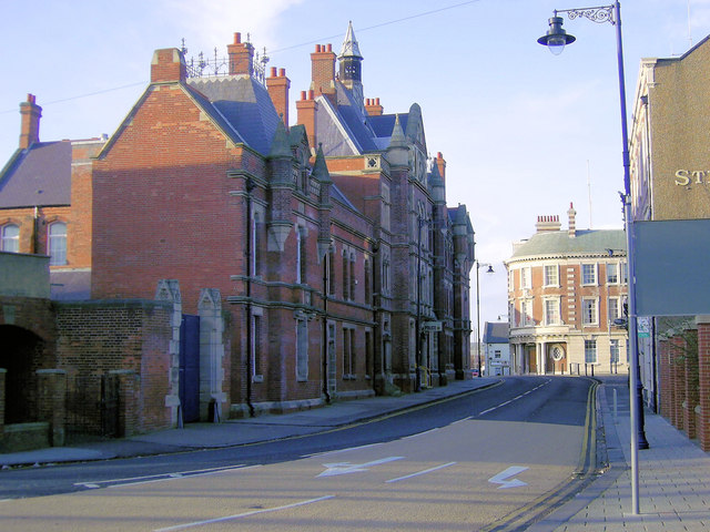
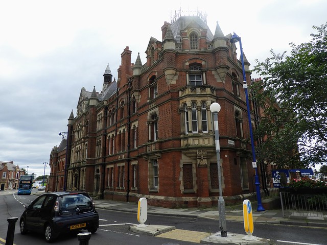
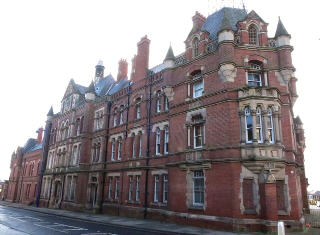
Harbour Commissioner's Offices, Blyth
33 Bridge Street, Blyth
Gloucester Lodge Heavy Anti-Aircraft Battery, Blyth
Headway ArtsSpace, former URC Church, Blyth
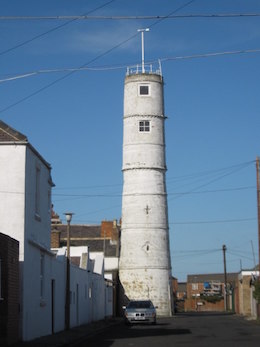
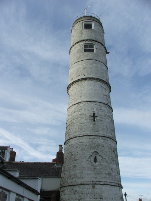
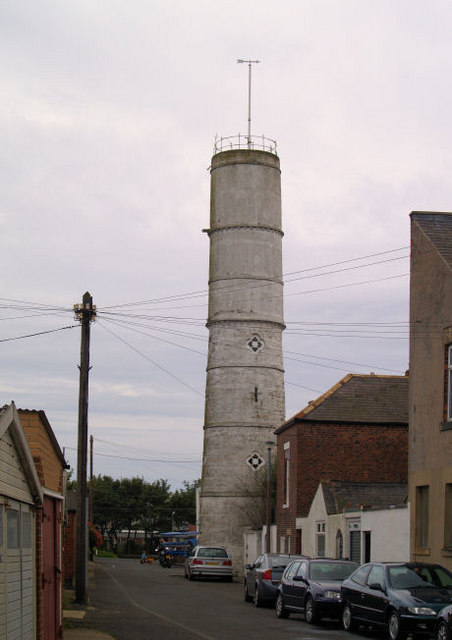
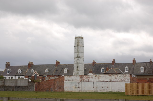
High Light, Lighthouse, Blyth
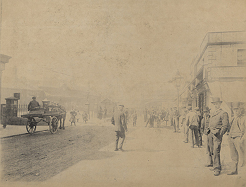
Historical Account of Blyth, 1894
Kitty Brewster, Blyth
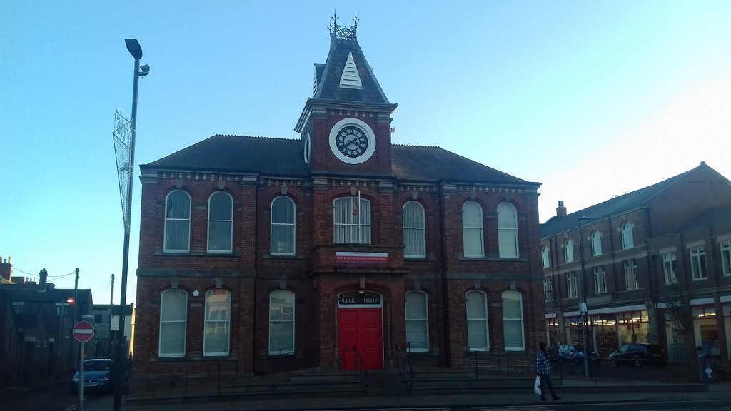
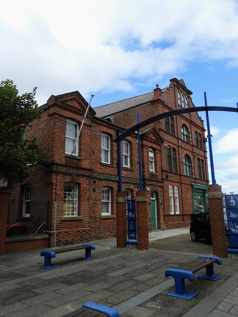
Library, Blyth
Map and Aerial View of Blyth
Newsham, Blyth
Old Police Station, Blyth
Regent Street, Blyth
Ridley Park, Blyth
Schools in Blyth
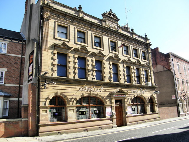
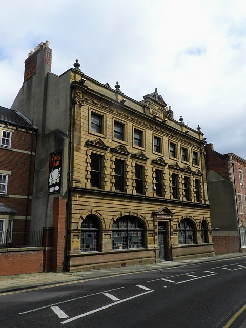
The King's Head, Blyth
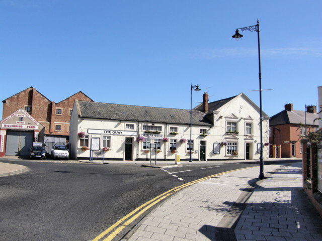
The Quay (Pub)
Wallaw, Blyth
WW1 Searchlight Emplacements, Blyth