Topics > Northumberland > Blyth > Map and Aerial View
Co-Curate Page
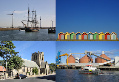
Blyth
- Overview History Map Blyth is a costal town and port in Northumberland situated by the River Blyth approximately 13 miles north east of Newcastle. The port of Blyth dates back …


