Co-Curate Page
Blyth
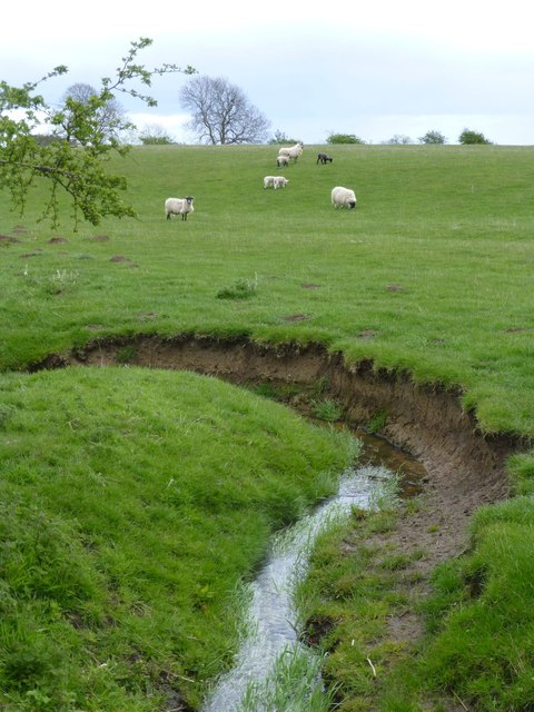
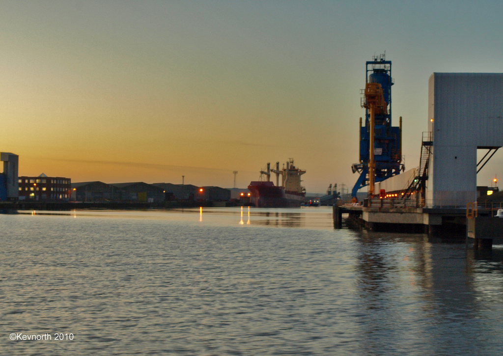
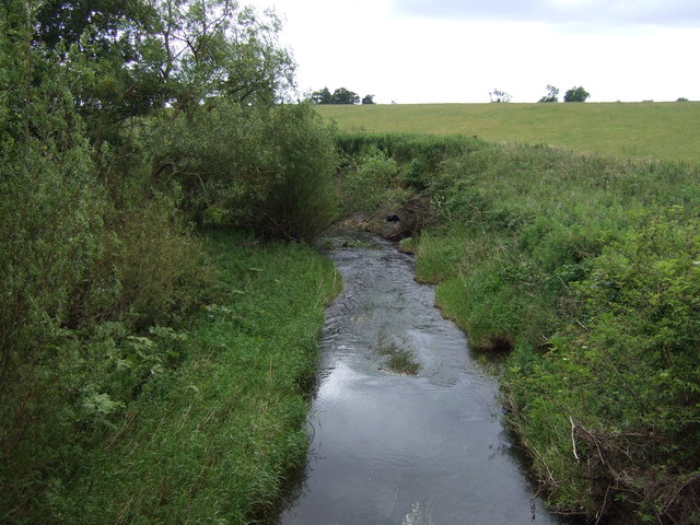
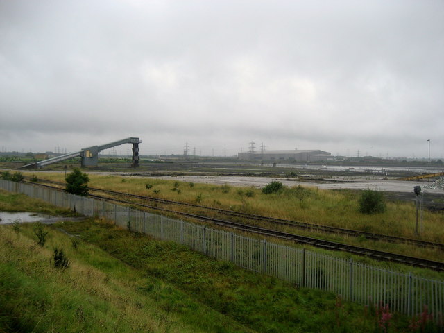
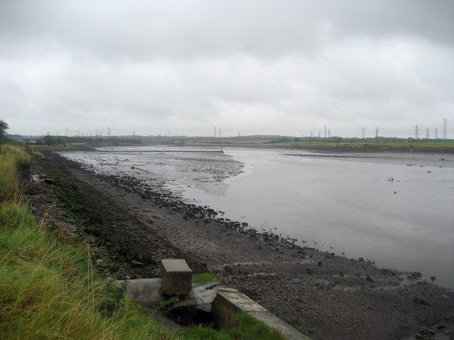
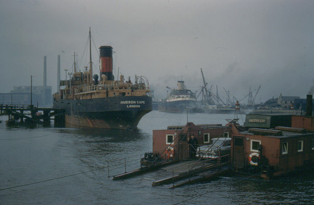
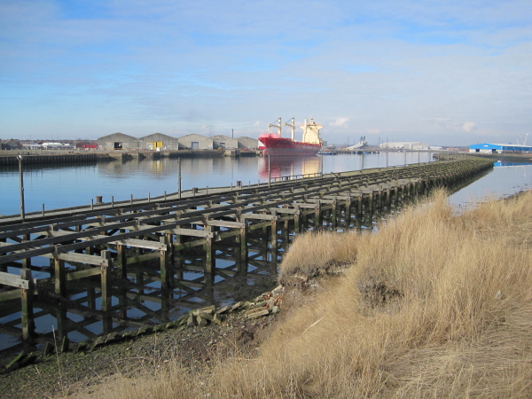
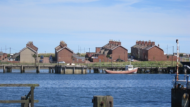
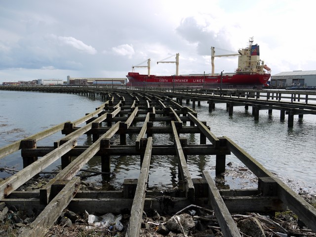
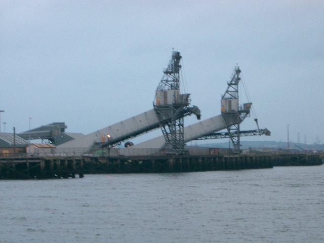
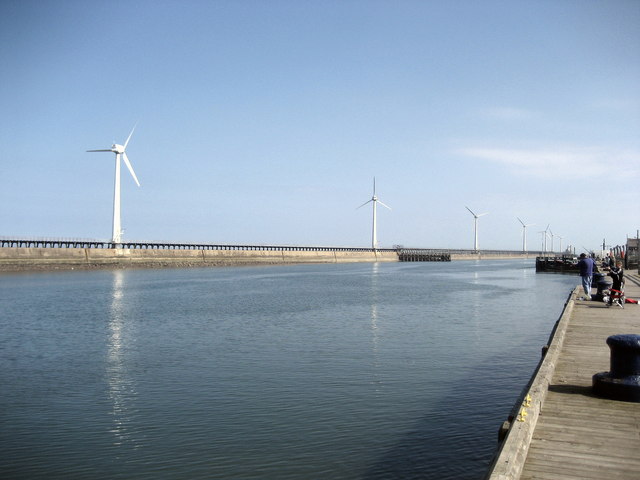
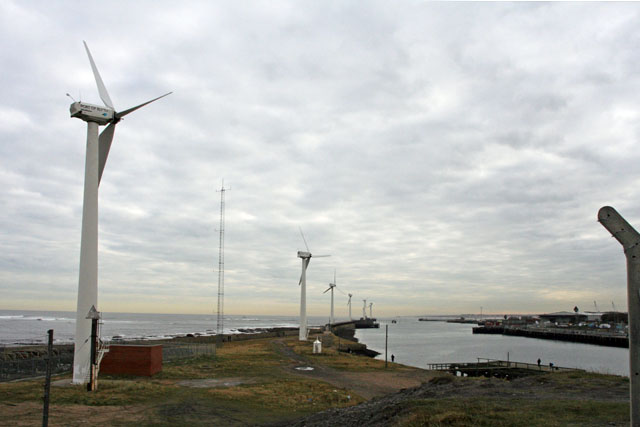
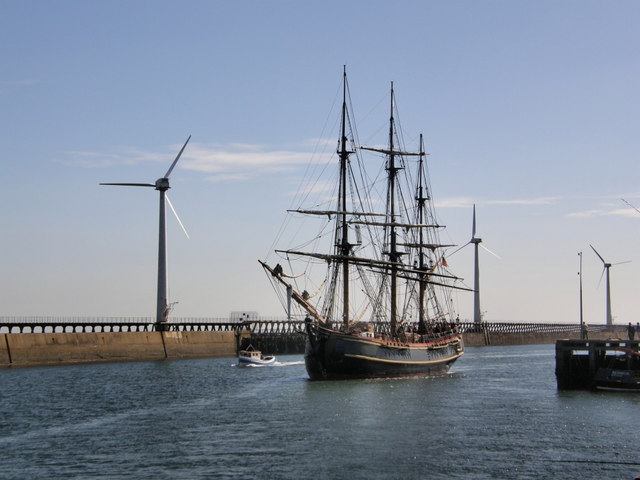
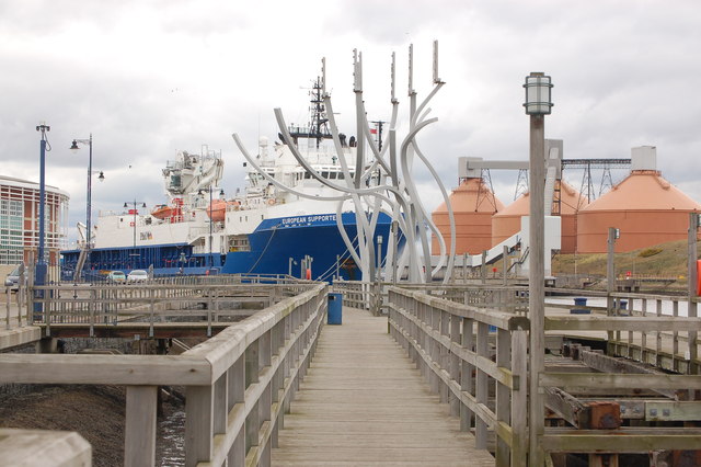
- Overview History Map Blyth is a costal town and port in Northumberland situated by the River Blyth approximately 13 miles north east of Newcastle. The port of Blyth dates back …
Co-Curate Page
Bedlington
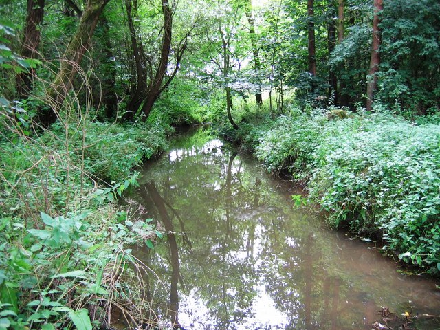
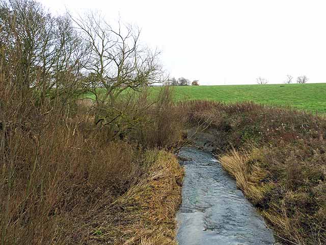
- Overview About Bedlington Map Street View Bedlington is a town in Northumberland, located by the northern banks of the River Blyth, about 10 miles north of Newcastle and 4 miles south …
Co-Curate Page
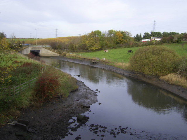
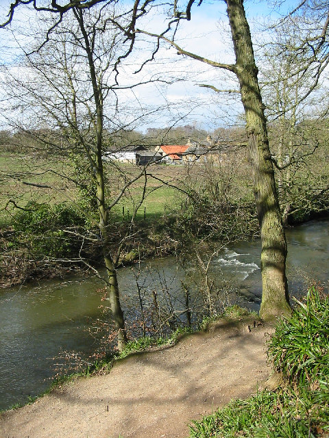
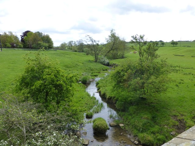
Hartford Bridge (village)
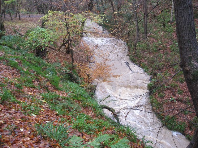
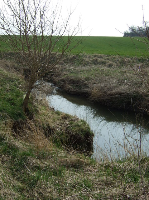
- Overview Map Street View Hartford Bridge is a small village in Northumberland, located a mile North of Cramlington and just over a mile South West of Bedlington. The village is by …
Co-Curate Page
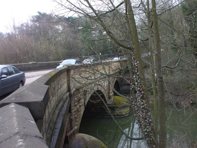
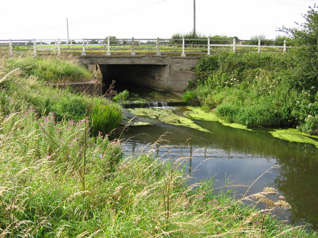
Hartford Bridge (bridge)
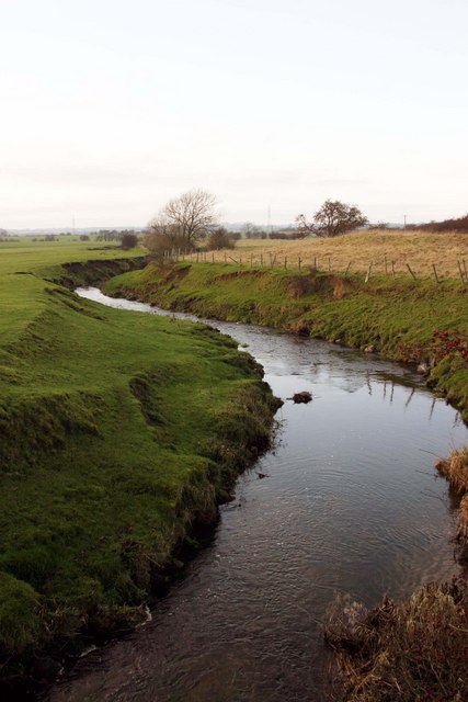
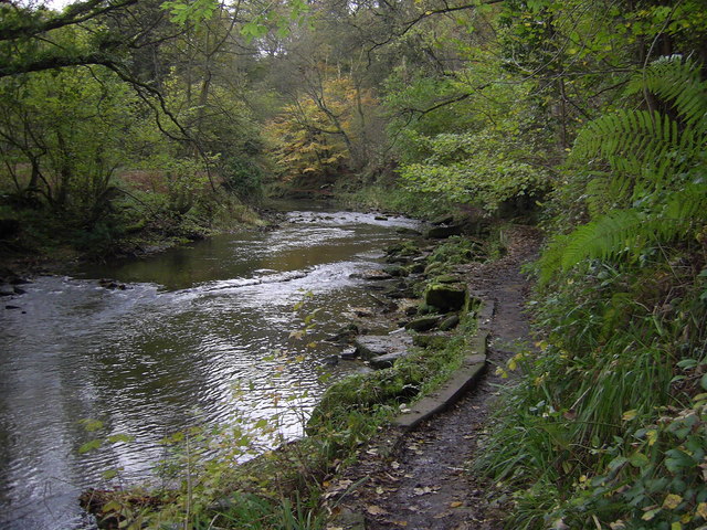
- Overview Map Street View Hartford Bridge carries the A192 / A1068 road over the River Blyth at Hartford, north of Cramlington. There was once a ford to cross the river near …
Co-Curate Page
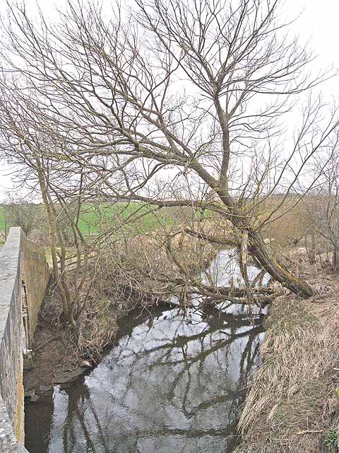
Bellasis Bridge
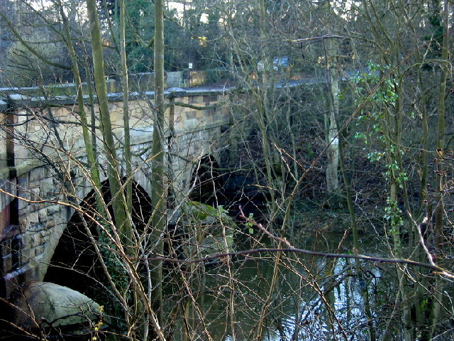
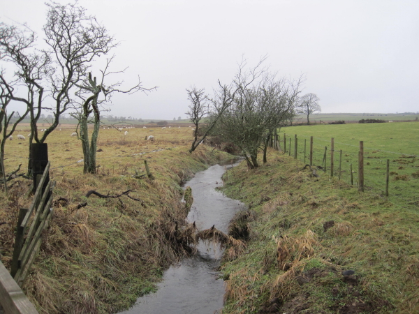
- Overview Map Street View Bellasis Bridge carries Green Lane over the River Blyth. It is located about half a mile souuth-west of the Bellasis and 2 miles south-west from Stannington. …
Co-Curate Page
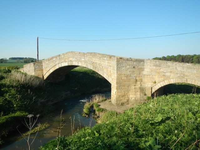
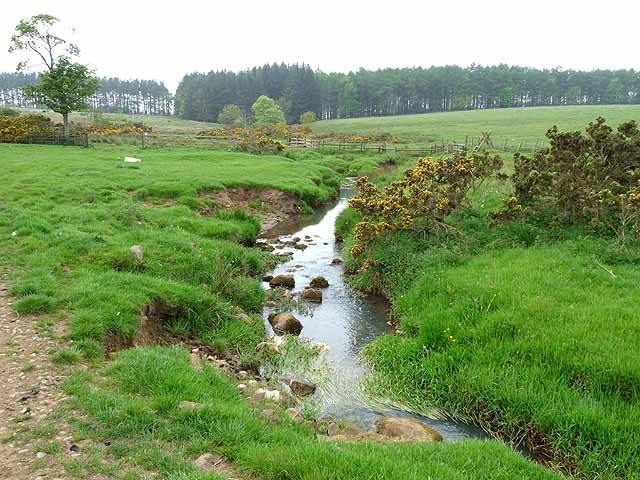
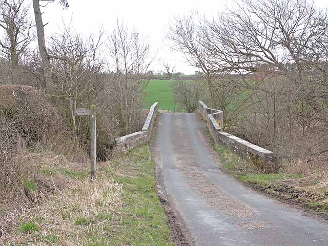
Shilvington Bridge
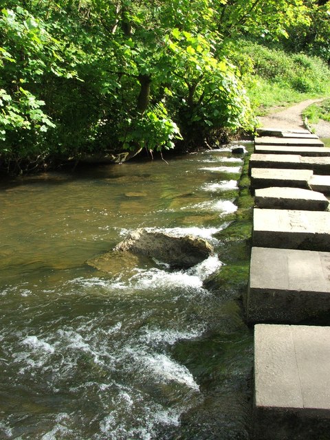
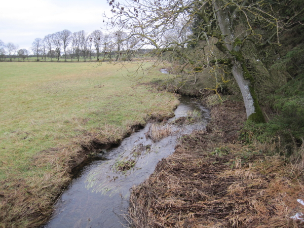
- Overview Map Street View Shilvington Bridge carries a minor road over the River Blyth, located roughly half way between Ogle and Shilvington in Northumberland. The stone bridge was built in …

from Youtube (youtube)
DEFENCE: World War 2: Submarine training crews at Blyth (1942)
Pinned by Simon Cotterill

Co-Curate Page
Blyth
- Overview History Map Blyth is a costal town and port in Northumberland situated by the River Blyth approximately 13 miles north east of Newcastle. The port of Blyth dates back …
Co-Curate Page
Bedlington
- Overview About Bedlington Map Street View Bedlington is a town in Northumberland, located by the northern banks of the River Blyth, about 10 miles north of Newcastle and 4 miles south …
Co-Curate Page
Hartford Bridge (village)
- Overview Map Street View Hartford Bridge is a small village in Northumberland, located a mile North of Cramlington and just over a mile South West of Bedlington. The village is by …
Co-Curate Page
Hartford Bridge (bridge)
- Overview Map Street View Hartford Bridge carries the A192 / A1068 road over the River Blyth at Hartford, north of Cramlington. There was once a ford to cross the river near …
Co-Curate Page
Bellasis Bridge
- Overview Map Street View Bellasis Bridge carries Green Lane over the River Blyth. It is located about half a mile souuth-west of the Bellasis and 2 miles south-west from Stannington. …
Co-Curate Page
Shilvington Bridge
- Overview Map Street View Shilvington Bridge carries a minor road over the River Blyth, located roughly half way between Ogle and Shilvington in Northumberland. The stone bridge was built in …
from Youtube (youtube)
DEFENCE: World War 2: Submarine training crews at Blyth (1942)
Pinned by Simon Cotterill