Topics > Northumberland > Cambois
Cambois
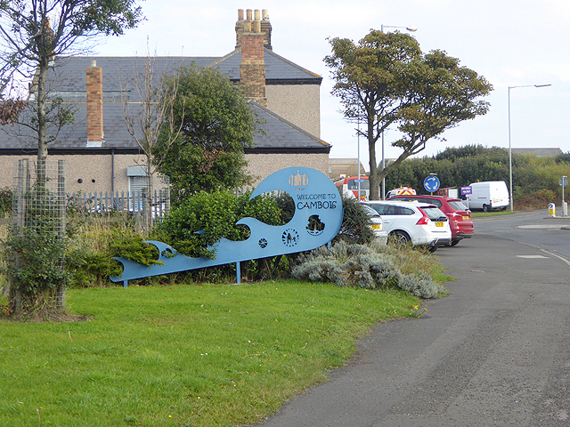
 Cambios is a former mining village near Blyth in Northumberland. It grew with the establishement of Cambios Colliery in the mid 19th century. However, there was a settlement at Cambois in medieval times. Cambois covers and area by the coast between the estuaries of the River Blyth in the south to the River Wansbeck in the north. It is closely associated with North Blyth.
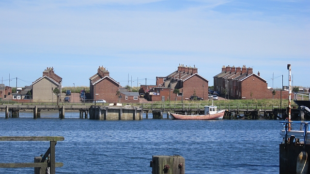
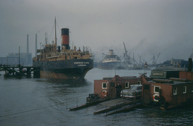
CAMBOIS, a township, in the parish and division of Bedlington, union of Morpeth, N. division of Northumberland, 7½ miles (E. by S.) from Morpeth; containing 109 inhabitants. The lands extend along the sea-shore, between the rivers Blyth and Wansbeck; and the village is situated among rich pastures on a dry green knoll, formed by the banks of the sea and the Wansbeck, which has here a ferry over it. There is a small harbour, where corn, timber, and grindstones are shipped. Some spacious granaries were built during the war with France, at which period a great quantity of grain was exported. About half a mile south-east of the Wansbeck is a cluster of rocks, named Cambois ridge, the tops of which are dry at low water; but as this part of the coast is little frequented, except by small vessels, accidents seldom occur.
Extract from: A Topographical Dictionary of England comprising the several counties, cities, boroughs, corporate and market towns, parishes, and townships..... 7th Edition, by Samuel Lewis, London, 1848.
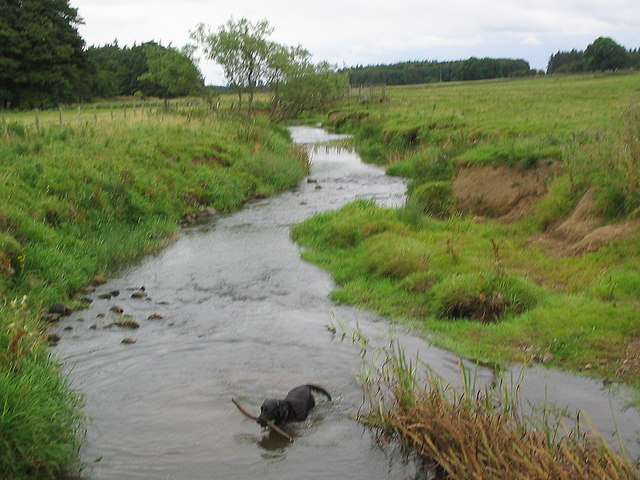
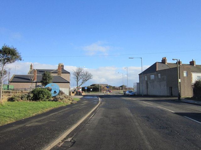
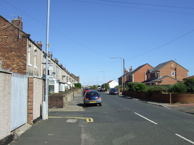
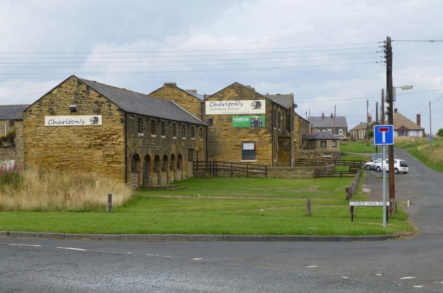
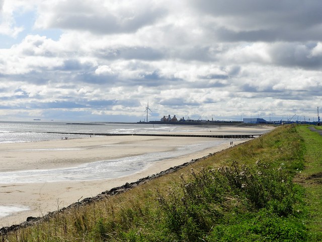
Cambois is a village in south-east Northumberland, England. It is situated on the north side of the estuary of the River Blyth between Blyth and Ashington on the North Sea coast.
Etymology
According to earlier scholarship, the etymology of the name is probably Gaelic cambas 'bay, creek'. However, the name could equally be from the Cumbric cognate of cambas, *camas 'bend in a river, bay', which would fit with Cambois's location at the confluence of Sleek Burn and the River Blyth. In either case, the spelling seems to have been influenced by French bois 'wood'.
History
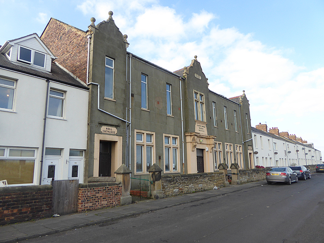
Cambois was a township in Bedlingtonshire which, until 1844, was part of County Durham.
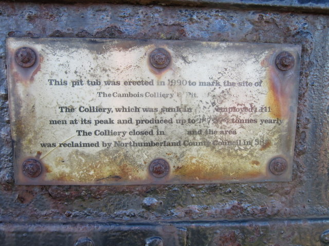
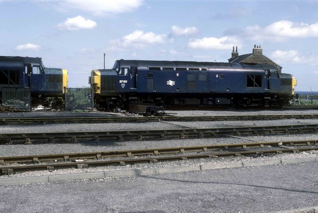
Cambois was a coal mining village from 1862 to week ending 20 April 1968 when Cambois Colliery closed.
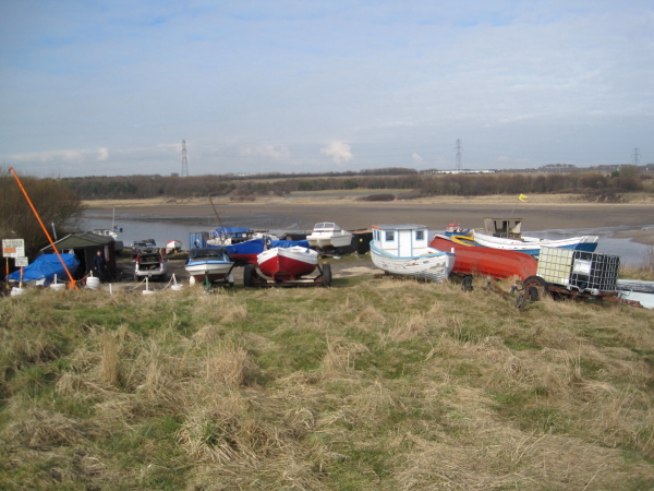
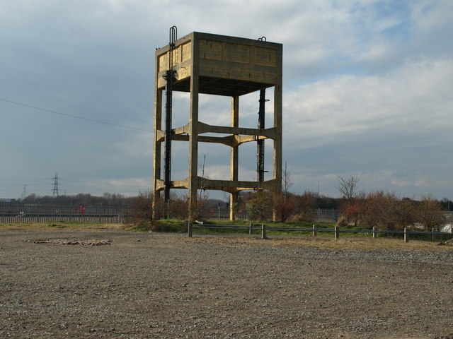
Cambois is now closely related to the area known as North Blyth. The main commercial activity (2011) is the importation of alumina for the manufacture of aluminium.
In 1883, the Coal Company gave a list of the property it owned, or leased:
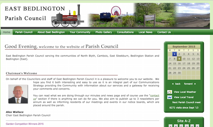
from http://www.eastbedlingtonpc.o…
East Bedlington Parish Council
- "East Bedlington Parish Council serving the communities of North Blyth, Cambois, East Sleekburn, Bedlington Station and Bedlington (East). ...". The site includes a useful section on local history.
Added by
Simon Cotterill


from http://www.sixtownships.org.u…
Memories of Cambois and Beyond
- "Depending on the company you're in or who you are trying to impress, the
pronunciation of this village's name can, and has, varied over the
years. 'Camboys' is popular. 'Cambwa' …
Added by
Simon Cotterill
Co-Curate Page
North Blyth
- Overview About North Blyth Map Street View North Blyth is a small settlement in south-east Northumberland, England. It is located to the south east of the village of Cambois …


from http://www.eastbedlingtonpc.o…
East Bedlington Parish Council
- "East Bedlington Parish Council serving the communities of North Blyth, Cambois, East Sleekburn, Bedlington Station and Bedlington (East). ...". The site includes a useful section on local history.
Added by
Simon Cotterill
from http://www.sixtownships.org.u…
Memories of Cambois and Beyond
- "Depending on the company you're in or who you are trying to impress, the
pronunciation of this village's name can, and has, varied over the
years. 'Camboys' is popular. 'Cambwa' …
Added by
Simon Cotterill
Co-Curate Page
North Blyth
- Overview About North Blyth Map Street View North Blyth is a small settlement in south-east Northumberland, England. It is located to the south east of the village of Cambois …