Topics > Organisations > National Trust
National Trust
National Trust locations in the North East and Cumbria.
| Site | Overview | Location | County/Met |
|
|
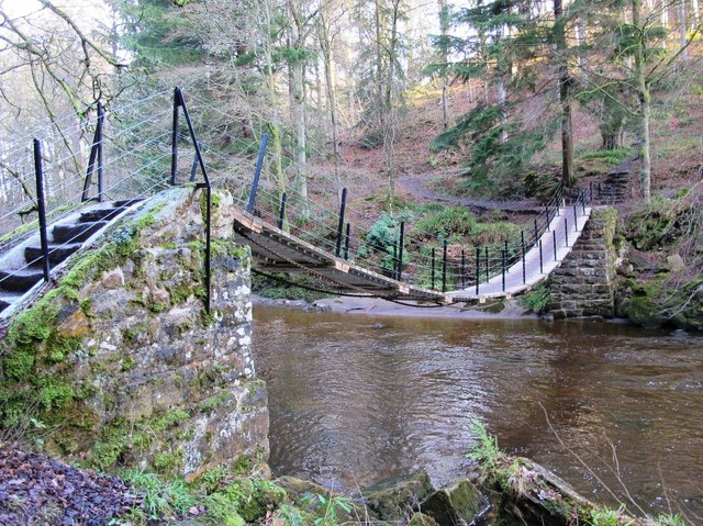
A 250-hectare site around the gorge created by the River Allen, which is the largest surviving area of ancient semi-natural woodland in Northumberland. Wildlife includes red squirrels and 70 species of birds have been spotted here. | Near Bardon Mill | Northumberland |
|
|
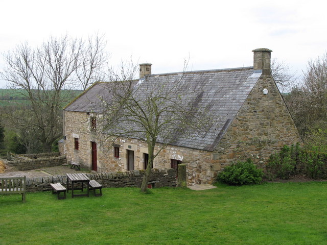
The farmhouse and cottage which was the birthplace of Thomas Bewick (1753-1828), a renowned wood engraver and naturalist who revolutionised print art in Georgian England. At Cherryburn you can see an extensive collection of Bewick's work and an exhibition about his life. | Near Stocksfield | Northumberland |
|
|
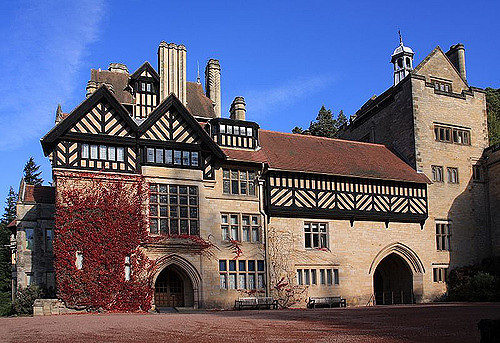
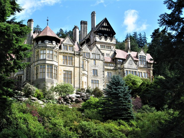
Cragside was the country house and estate of industrialist Lord William Armstrong. It was the first house in the world to be lit using hydroelectric power. Located on a rocky hillside near Rothbury, Cragside was initially built in 1863. The estate includes extensive gardens and woodland. | Near Rothbury | Northumberland |
|
|
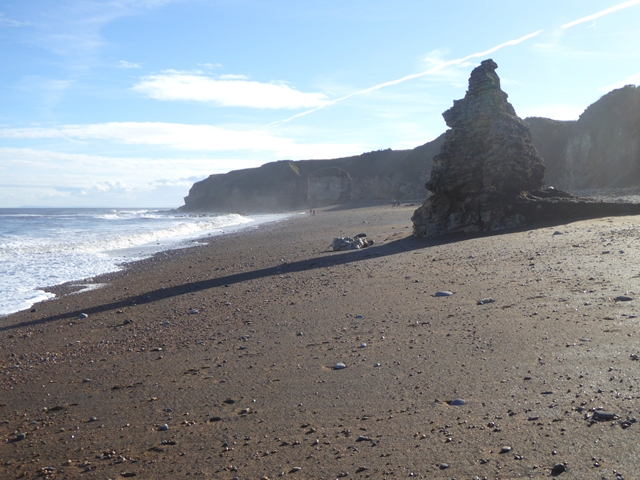
This stretch of the Durham Coast was once home to the biggest coal mine in Europe, Blast Beach by Nose Point had been badly polluted by decades of colliery waste. However, the dramatic coast line is now flourishing with wildlife and being used by people again, following a massive clean-up project involving the National Trust and partners. |
Near Seaham | County Durham |
|
|
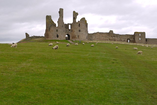
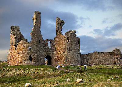
Dunstanburgh is a massive ruined castle, which is just over a miles walk along a beautiful coastal path from Craster. The castle was built in the 14th century by Thomas, Earl of Lancaster, the wealthiest nobleman in England and cousin to Edward II. The castle is owned by the National Trust and managed by English Heritage. | Near Craster | Northumberland |
|
|
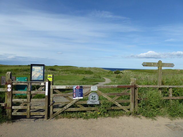
The links by Low Newton by the Sea, near Embleton, are a long stretch of picturesque beaches surrounded by wildlife-rich sand dunes. The dunes support a diverse range of wild flowers and wildlife. | Near Embleton | Northumberland |
|
|
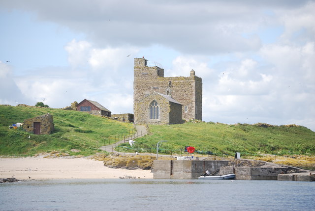
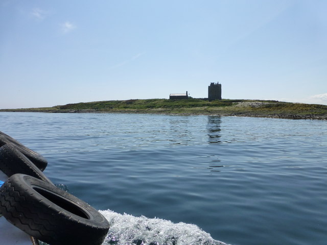
The Farnes are a group of Islands located off the coast of Northumberland, just over 2 miles north of Seahouses. They are an important bird and seal sanctuary. In 651 the Farnes became home to Saint Aidan, and later by Saint Cuthbert. The islands are also famous for Grace Darling's rescue of survivors of the Forfarshire wrecked off the islands in 1838. | Near Seahouses | Northumberland |
|
George Stephenson's Birthplace
|
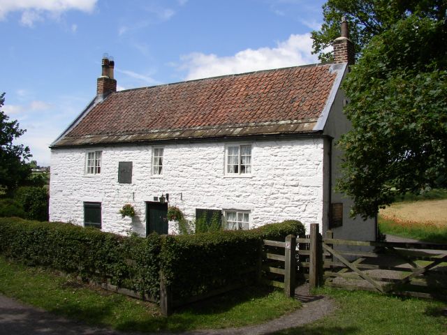
The cottage where the great railway pioneer, George Stephenson, was born in 1781. The entire family lived in just one room of the building. You can visit the cottage and see what it looked like back then. | Wylam | Northumberland |
|
|
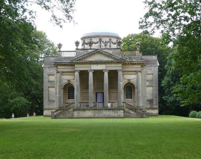
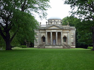
Gibside is a stunning 18th-century landscape garden by the Derwent Valley with Georgian buildings, such as the Palladian chapel and stable block, and ruins of the grand hall. Once owned by coal baron George Bowes, the estate includes a long avenue of oaks leading to the Column of Liberty. There are several hundred acres of forest and a walled garden. |
Near Rowlands Gill, Gateshead | Tyne & Wear |
|
Housesteads Fort & Hadrian's Wall
|
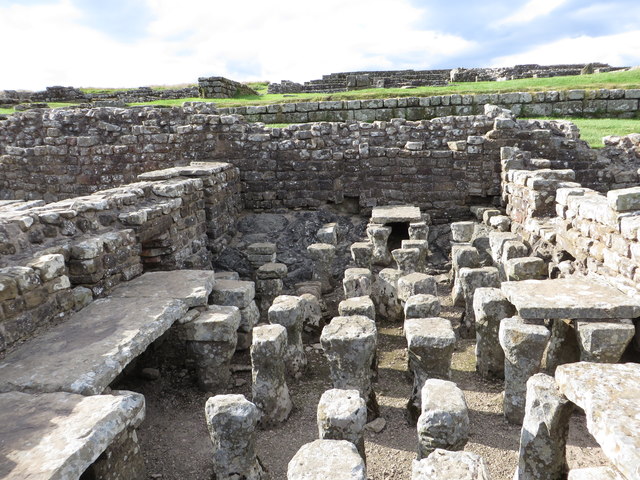
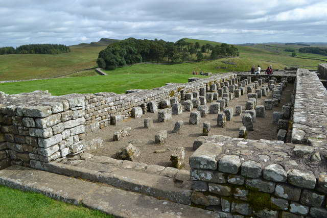
Housesteads (Roman name: "Vercovicium") is one of the best preserved forts on Hadrian's Wall, built around 124 AD. The fort covers an area of approximately 5 acres, and had a garrison of around soldiers. The site is owned by the National Trust, and run by English Heritage. There is a museum on the site including Roman artefacts from the fort. | Near Bardon Mill | Northumberland |
|
|
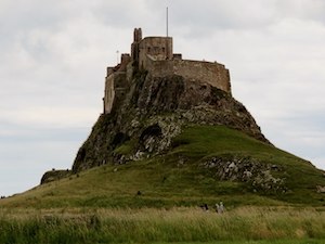
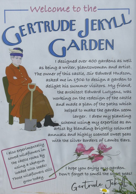
Lindisfarne Castle on Holy Island was built in 1550. The castle was built a time of hostilities between England and Scotland, and the island and Priory had previously been subjected to raids by Vikings. The castle was altered by Sir Edwin Lutyens in the early 1900’s. As well as the castle, the National Trust also maintain the close by Gertrude Jackyll Gardens and Lindisfarne Limekilns. | Lindisfarne (Holy Island) | Northumberland |
|
|
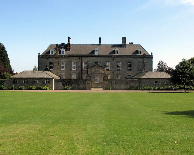
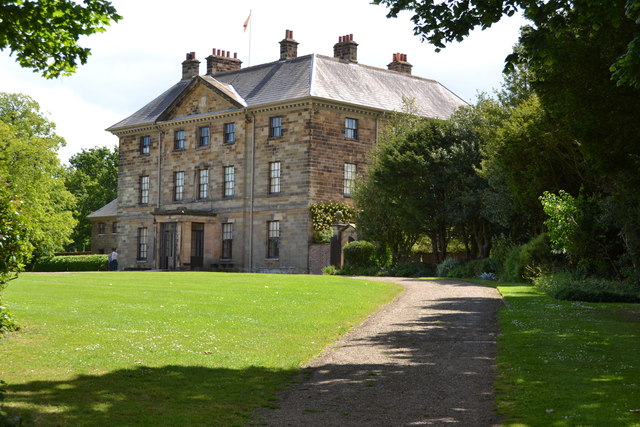
Ormesby Hall was built in 1754 and was the home of the Pennyman family. The Georgian mansion is surrounded by 250 acres of parkland and farmland, as well as having a Victorian formal garden. | Middlesbrough | Tees Valley |
|
|
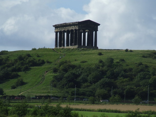
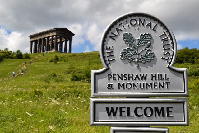
The Earl of Durham's Monument, better known as the Penshaw Monument, was built in 1844 on Penshaw Hill. The folly is a 70 ft high replica of the Temple of Hephaestus in Athens, but twice the size of the original. It can be seen for miles around. The monument was built in memory of John George Lambton, first Earl of Durham (1792-1840). | Near Houghton-le-Spring, Sunderland | Tyne & Wear |
|
|
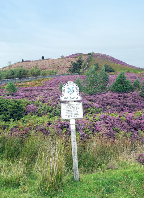
Ros Hill is known as 'Ros Castle' because its summit is the site of an Iron Age hill fort. It is the highest point on the Chillingham Hills. The site was gifted to the National Trust in 1936 in memory of Sir Edward Grey. Limited access / rough terrain. | Near Hepburn | Northumberland |
|
|
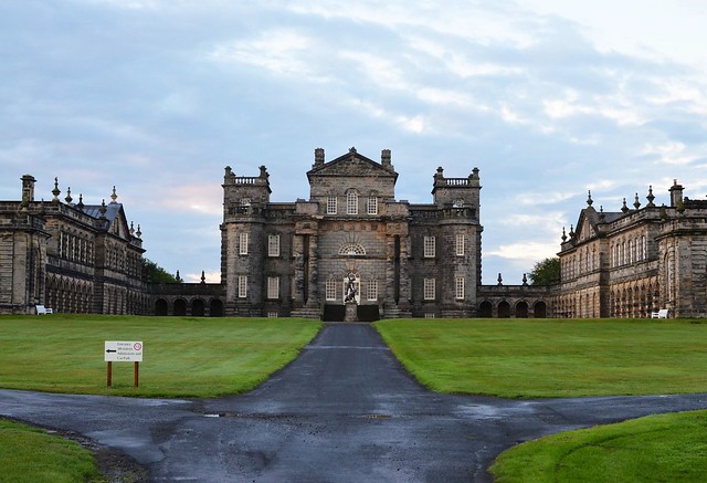
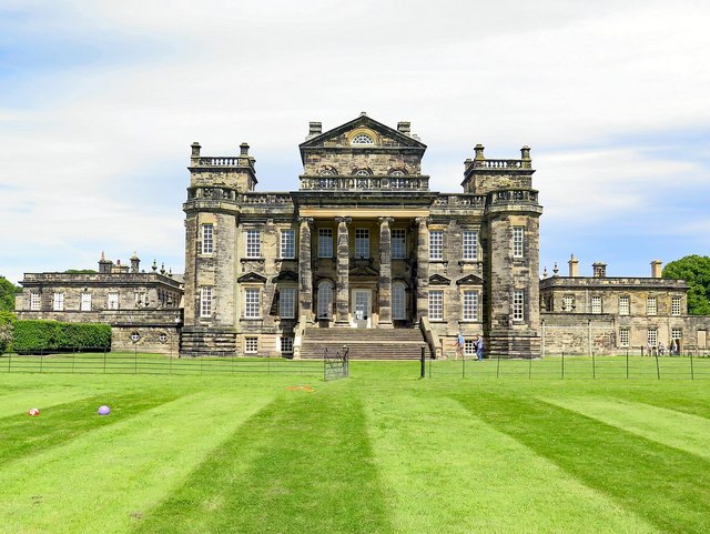
Seaton Delaval Hall is an 'English Baroque' style country house which was designed by Sir John Vanbrugh in 1718 for Admiral George Delaval, both of whom had died before the building was completed in 1728. The central block was badly damaged by fire in 1822 leaving parts of the building with just the stone shell. The grounds include formal gardens. | Between Seaton Delaval and Seaton Sluice | Northumberland |
|
Souter Lighthouse and the Leas
|
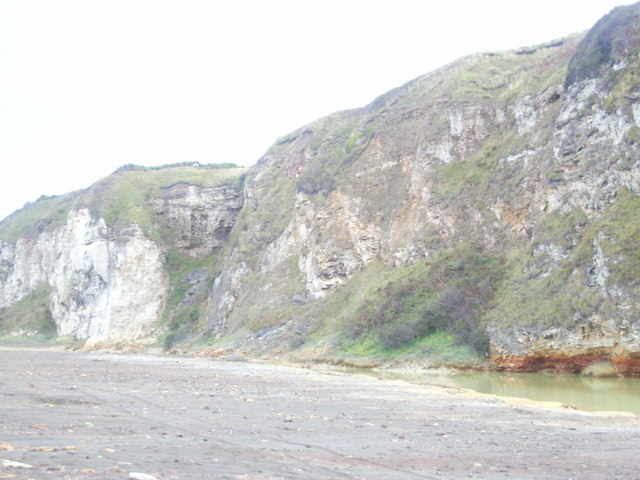
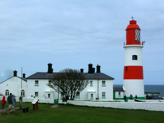
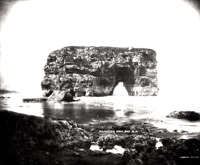
Souter Lighthouse was opened in 1871, located on the coastline midway between the Tyne and the Wear. It was the first lighthouse in the world designed and built to be powered by electricity. To the north of the lighthouse, The Leas are a 2.5 mile stretch of magnesian limestone cliffs, including the dramatic rock stacks of Marsden Bay. | Near Whitburn | Tyne & Wear |
|
|
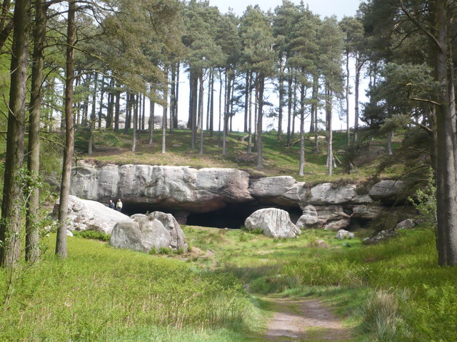
St. Cuthbert’s Cave is formed by a 20m overhanging outcrop of Sandstone rock, supported by a natural stone pillar. It is reputed that St Cuthbert retired to this cave in 674 AD and there is a tradition that his body was rested in the cave when it was moved from Lindisfarne in c875 AD to avoid Viking raids on Lindisfarne. The cave and surrounding 13 acre site was given to the National Trust in 1981. | Near Holburn | Northumberland |
|
|
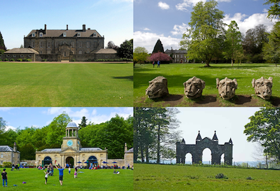
Wallington Hall was built in 1688 on the site of an earlier building and remodelled in 1777. It was the home of the Trevelyan family until being donated to the National Trust in 1942. The 13,000-acre estate includes lawns, lakes, woodland, parkland, farmland and a walled garden. The Hall includes period furnishings and numerous pre-Raphaelite paintings. |
Cambo, near Morpeth | Northumberland |
|
|
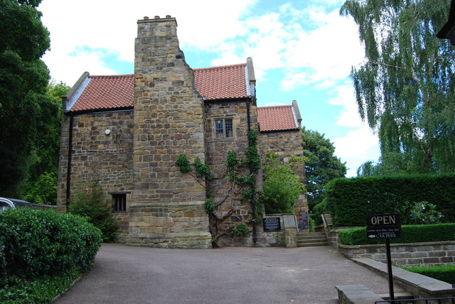
The Old Hall and gardens are located in the historic Washington village, which existed long before the development of the 'new town'. The building incorporates parts of the original medieval home of the direct ancestors of George Washington, the first President of the USA. It was from here that the family took their surname of 'Washington'. | Washington, Sunderland | Tyne & Wear |
For the lastest information see the National Trust Website
The National Trust is a membership-based conservation organisation in England, Wales and Northern Ireland. The trust was founded in 1895 and given statutory powers, starting with the National Trust Act 1907. The Trust was formerly known as the National Trust for Places of Historic Interest or Natural Beauty. The Trust owns over 350 historic properties and landscapes/nature reserves.
Co-Curate Page
Wallington
- Overview About Wallington Map Street View Wallington is a country house and gardens located about 12 miles (19 km) west of Morpeth, Northumberland, England, near the village of Cambo. It …
Co-Curate Page
Cherryburn
- Overview About Cherryburn Map Cherryburn is a National Trust location which includes the farmhouse and cottage which was the birthplace of Thomas Bewick (1753-1828), a renowned wood engraver and naturalist …
Co-Curate Page
Cragside
- Overview About Cragside Map Street View Cragside was the country house and estate of industrialist Lord William Armstrong and Lady Margaret Armstrong. It was the first house in the world …
Co-Curate Page
George Stephenson's Birthplace
- Overview Map Street View About half a mile north-west of Wylam is the humble birthplace of great railway pioneer, George Stephenson, who was born in 1781. The entire Stephenson family lived in just one …
Co-Curate Page
Gibside
- Overview About Gibside Map Street View Gibside is a country estate, set amongst the peaks and slopes of the Derwent Valley, between Rowlands Gill, Tyne and Wear and Burnopfield, …
Co-Curate Page
Ormesby Hall
- Overview About Ormesby Hall Map Street View Ormesby Hall is a National Trust property located in Ormesby, Middlesbrough. The Palladian style building was completed in 1754 and is Grade I listed …
Co-Curate Page
Seaton Delaval Hall
- Overview History & Architecture Map Street View Seaton Delaval Hall is an 'English Baroque' style country house located between Seaton Sluice and Seaton Delaval in Northumberland. The Hall was designed …
Co-Curate Page
Washington Old Hall
- Overview About Washington Old Hall Map Street View Inside Washington Old Hall is a manor house located in the Washington area of Tyne and Wear, England, United Kingdom. It …
Co-Curate Page
Penshaw Monument
- Overview History and Further Details Map Street View The Earl of Durham's Monument, better known as the Penshaw Monument, was built in 1844 on Penshaw Hill. The folly is a …
Co-Curate Page
Farne Islands
- Overview About The Farne Islands Map The Farne Islands are located off the coast of Northumberland, just over 2 miles north of Seahouses. Most of the islands are now owned …
Co-Curate Page
Souter Lighthouse
- Overview About Souter Lighthouse Map Street View Souter Lighthouse is located on Lizard point on the South Tyneside coast, between Marsden and Whitburn. It was built in 1871 by Sir …
Co-Curate Page
Marsden Rock
- Summary About Marsden Rock Map Street View Marsden Rock is a rock formation off the coast at Marsden, South Shields, opposite the Marsden Grotto. In 1911 a large section of …
Co-Curate Page
The Leas
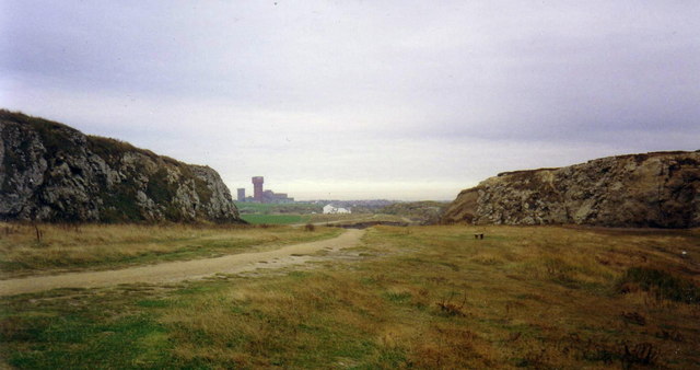
- The Leas is a two and a half mile stretch of magnesian limestone cliffs and coastal grassland by South Shields. It is owned and maintained by the National Trust and …
Co-Curate Page
Lindisfarne Castle
- Overview Lindisfarne Castle Map Street View Lindisfarne Castle is a 16th-century castle located on Holy Island, near Berwick-upon-Tweed, Northumberland, England, much altered by Sir Edwin Lutyens in 1901. The …
from http://www.nationaltrust.org.…
Farne Islands - National Trust
- Visitor information, opening times and further information.
Added by
Simon Cotterill
Co-Curate Page
Lime Kilns
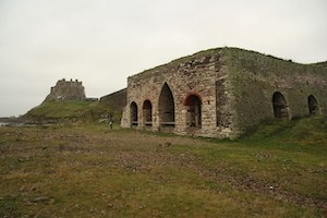
- Overview Map Street View The lime kilns at Castle Point on Lindisfarne are amongst the largest and best preserved lime kilns in Northumberland. They have a complex layout compared to …
Co-Curate Page
Gertrude Jekyll Garden
- Overview Map Street View A modestly sized walled garden, located just north of Lindisfarne Castle, was designed by Gertrude Jekyll - a renowned Arts and Crafts garden designer, writer and …
Co-Curate Page
Dunstanburgh Castle
- Overview About Dunstanburgh Castle Map Street View Dunstanburgh Castle is located on the Northumberland coast, one mile north of Craster and a mile and a half south-east of Embleton. The castle …
Co-Curate Page
Housesteads
- Overview About Howsteads Fort Map Street View Interactive Glossary Housesteads (Roman name: "Vercovicium") is one of the best preserved forts on Hadrian's Wall, built around 124 AD. The fort covers …
Co-Curate Page
Ros Castle (hill), nr Hepburn
- Ros Hill is known as 'Ros Castle' because its summit is the site of an Iron Age hill fort. It is the highest point on the Chillingham Hills. The site …
Co-Curate Page
St. Cuthbert's Cave, nr Holburn
- Overview Map Street View St. Cuthbert’s Cave near Holburn in Northumberland is formed by a 20m overhanging outcrop of Sandstone rock, supported by a natural stone pillar. It is reputed …
Co-Curate Page
Heritage Sites
- This section includes profiles of some of the many heritage sites in the North East of England and Cumbria. Many more can also be found by locality via the Places …
Co-Curate Page
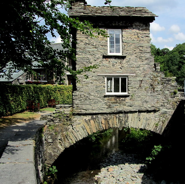
Bridge House, Ambleside
- Overview Map Street View Bridge House by Rydal Road in Ambleside was originally built in the late 17th century by the Braithwaite family to access their lands on the other …
Co-Curate Page
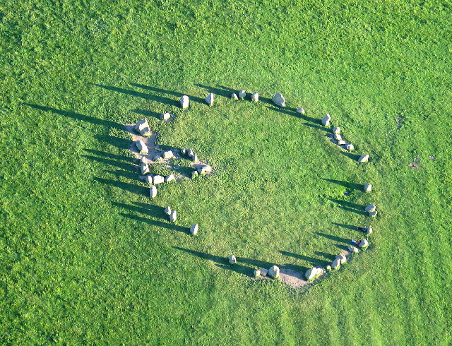
Castlerigg Stone Circle
- Overview About Castlerigg Stone Circle Map Street View Castlerigg Stone Circle, located just over a mile east of Keswick, is one of the earliest stone circles in the UK, thought …
Co-Curate Page
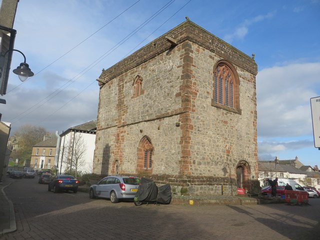
Dalton Castle
- Overview About Dalton Castle Map Street View Dalton Castle is a large Pele tower in Dalton-in-Furness, which was first built in the mid-14th century, as a defence against border raids …
Co-Curate Page
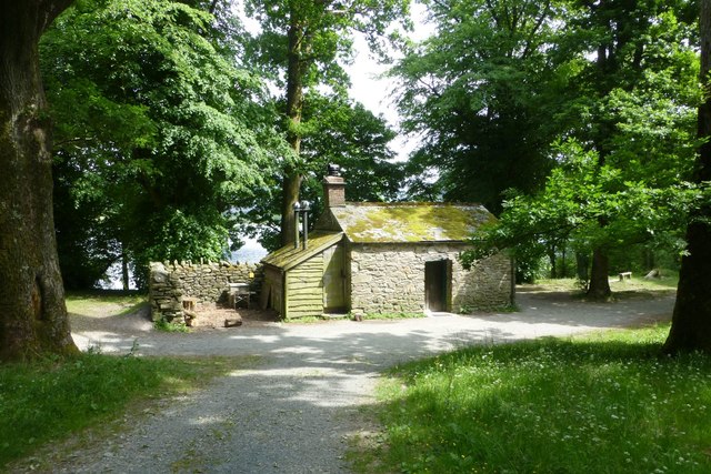
Holme Wood Bothy, Loweswater
- The stone bothy at Holme Wood, on the lakeside of Loweswater, is owned by the National Trust. The accommodation can be rented via the Trust.
Co-Curate Page
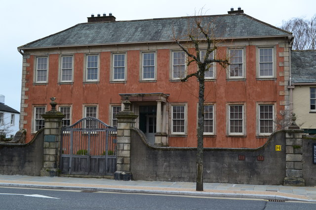
Wordsworth House
- Overview Map Street View Wordsworth House on Main Street in Cockermouth is the e birthplace and childhood home of the romantic poet William Wordsworth (born in 1770) and his sister Dorothy. The …
Co-Curate Page
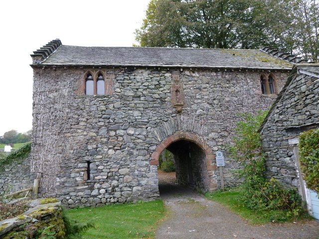
Old Courthouse, Hawkshead
- Overview Map Street View The Old Courthouse is located near Hawkshead Hall, about half a mile north of the village of Hawkshead. It dates from the 15th century and is …
Co-Curate Page
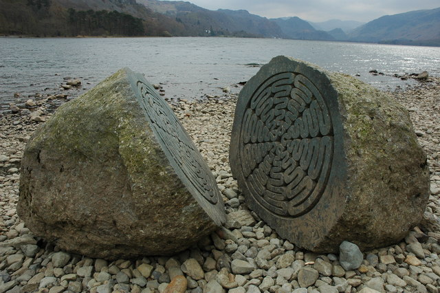
The Hundred Year Stone, Derwent Water
- Overview Map Street View The 'Hundred Year Stone' is a sculpture by Peter Randall-Page located on the shore of Derwent Water between Calf Close Bay and Broomhill Point. It was …
Co-Curate Page
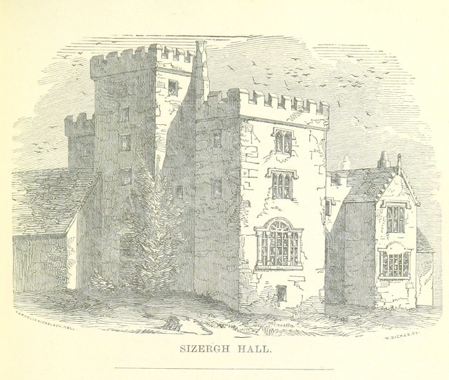
Sizergh Castle
- Overview About Sizergh Castle and Gardens Map Street View Sizergh Castle and Garden is a stately home and garden at Helsington in the English county of Cumbria, about 4 …
Co-Curate Page
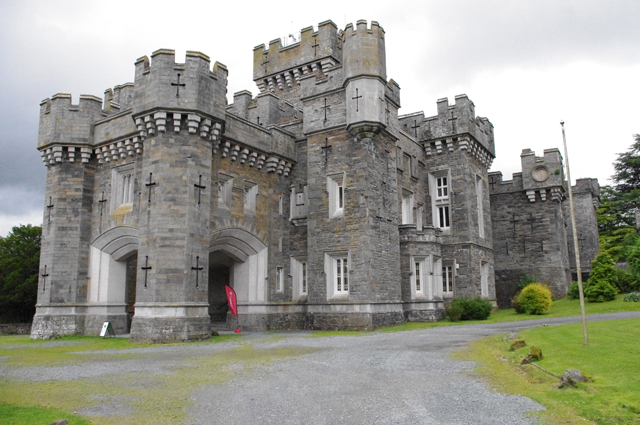
Wray Castle
- Overview About Wray Castle Map Street View Wray Castle is a neo-gothic county house at Low Wray built from 1840 to 1847 for James and Margaret Dawson from Liverpool. The …
Co-Curate Page
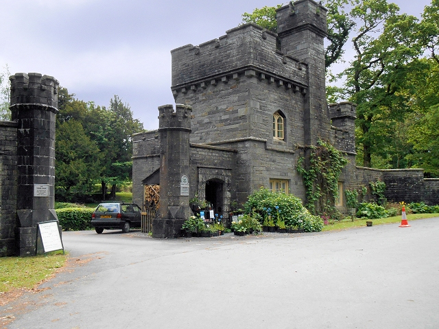
Lodge and gateway to Wray Castle
- Overview Map Street View The entrance lodge and gateway to Wray Castle were built in c.1845, probably by H.P. Horner of Liverpool. The lodge, along with the castle are the …
Co-Curate Page
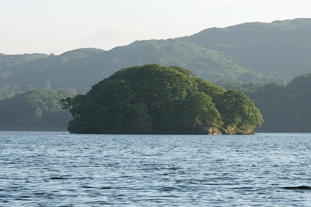
Peel Island, Coniston Water
- Overview About Peel Island Map Street View Peel is one of three islands on Coniston Water and is owned by the National Trust. Peel island featured as 'Wild Cat Island' in the …
Co-Curate Page
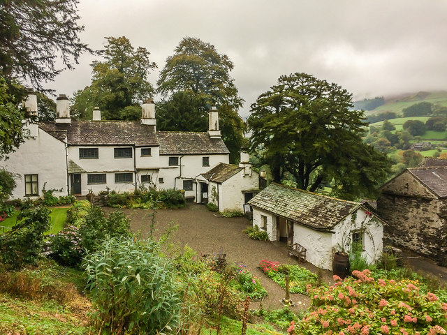
Townend, Troutbeck
- Overview About Townend Map Street View Townend is a large house and farm located on Holbeck Lane to the south of Troutbeck. It was built in 1626 for George Browne, …
Co-Curate Page
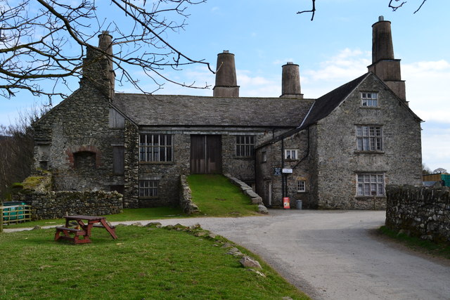
Coniston Hall
- Overview About the Coniston Hall Map Street View Coniston Hall is a former house on the west bank of Coniston Water in the English Lake District. It is recorded …

Co-Curate Page
Hill Top (Beatrix Potter's house / Museum)
- Overview Map Street View Hill Top is a National Trust property in the Lake District, located in the village of Near Sawrey, about 2 miles south-east of Hawkshead. The house, …
Co-Curate Page
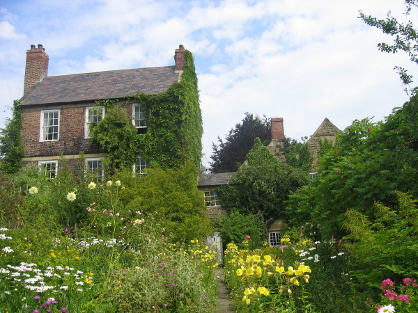
Crook Hall
- Overview Map Street View Crook Hall is a medieval manor house located in the Framwelgate area of Durham City. The oldest part of Crook Hall was built in the 14th …
Co-Curate Page
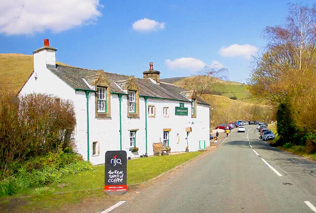
The Cross Keys Temperance Inn
- Overview Map Street View The Cross Keys Temperance Inn is located in Cautley, on Cautley Road (A683), about 4 miles north-east of Sedbergh and 9 miles south-west of Kirkby Stephen. …
Co-Curate Page
Keld Chapel
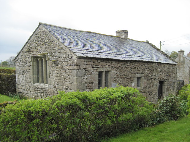
- Overview Map Street View Keld Chapel is located at the north east end of Keld, between Keld Lane and the access track to Thornship. The first documentary evidence of the …


Co-Curate Page
Wallington
- Overview About Wallington Map Street View Wallington is a country house and gardens located about 12 miles (19 km) west of Morpeth, Northumberland, England, near the village of Cambo. It …

Co-Curate Page
Cherryburn
- Overview About Cherryburn Map Cherryburn is a National Trust location which includes the farmhouse and cottage which was the birthplace of Thomas Bewick (1753-1828), a renowned wood engraver and naturalist …

Co-Curate Page
Cragside
- Overview About Cragside Map Street View Cragside was the country house and estate of industrialist Lord William Armstrong and Lady Margaret Armstrong. It was the first house in the world …

Co-Curate Page
George Stephenson's Birthplace
- Overview Map Street View About half a mile north-west of Wylam is the humble birthplace of great railway pioneer, George Stephenson, who was born in 1781. The entire Stephenson family lived in just one …

Co-Curate Page
Gibside
- Overview About Gibside Map Street View Gibside is a country estate, set amongst the peaks and slopes of the Derwent Valley, between Rowlands Gill, Tyne and Wear and Burnopfield, …

Co-Curate Page
Ormesby Hall
- Overview About Ormesby Hall Map Street View Ormesby Hall is a National Trust property located in Ormesby, Middlesbrough. The Palladian style building was completed in 1754 and is Grade I listed …

Co-Curate Page
Seaton Delaval Hall
- Overview History & Architecture Map Street View Seaton Delaval Hall is an 'English Baroque' style country house located between Seaton Sluice and Seaton Delaval in Northumberland. The Hall was designed …

Co-Curate Page
Washington Old Hall
- Overview About Washington Old Hall Map Street View Inside Washington Old Hall is a manor house located in the Washington area of Tyne and Wear, England, United Kingdom. It …

Co-Curate Page
Penshaw Monument
- Overview History and Further Details Map Street View The Earl of Durham's Monument, better known as the Penshaw Monument, was built in 1844 on Penshaw Hill. The folly is a …

Co-Curate Page
Farne Islands
- Overview About The Farne Islands Map The Farne Islands are located off the coast of Northumberland, just over 2 miles north of Seahouses. Most of the islands are now owned …

Co-Curate Page
Souter Lighthouse
- Overview About Souter Lighthouse Map Street View Souter Lighthouse is located on Lizard point on the South Tyneside coast, between Marsden and Whitburn. It was built in 1871 by Sir …

Co-Curate Page
Marsden Rock
- Summary About Marsden Rock Map Street View Marsden Rock is a rock formation off the coast at Marsden, South Shields, opposite the Marsden Grotto. In 1911 a large section of …

Co-Curate Page
The Leas
- The Leas is a two and a half mile stretch of magnesian limestone cliffs and coastal grassland by South Shields. It is owned and maintained by the National Trust and …

Co-Curate Page
Lindisfarne Castle
- Overview Lindisfarne Castle Map Street View Lindisfarne Castle is a 16th-century castle located on Holy Island, near Berwick-upon-Tweed, Northumberland, England, much altered by Sir Edwin Lutyens in 1901. The …

from http://www.nationaltrust.org.…
Farne Islands - National Trust
- Visitor information, opening times and further information.
Added by
Simon Cotterill

Co-Curate Page
Lime Kilns
- Overview Map Street View The lime kilns at Castle Point on Lindisfarne are amongst the largest and best preserved lime kilns in Northumberland. They have a complex layout compared to …

Co-Curate Page
Gertrude Jekyll Garden
- Overview Map Street View A modestly sized walled garden, located just north of Lindisfarne Castle, was designed by Gertrude Jekyll - a renowned Arts and Crafts garden designer, writer and …

Co-Curate Page
Dunstanburgh Castle
- Overview About Dunstanburgh Castle Map Street View Dunstanburgh Castle is located on the Northumberland coast, one mile north of Craster and a mile and a half south-east of Embleton. The castle …

Co-Curate Page
Housesteads
- Overview About Howsteads Fort Map Street View Interactive Glossary Housesteads (Roman name: "Vercovicium") is one of the best preserved forts on Hadrian's Wall, built around 124 AD. The fort covers …

Co-Curate Page
Ros Castle (hill), nr Hepburn
- Ros Hill is known as 'Ros Castle' because its summit is the site of an Iron Age hill fort. It is the highest point on the Chillingham Hills. The site …

Co-Curate Page
St. Cuthbert's Cave, nr Holburn
- Overview Map Street View St. Cuthbert’s Cave near Holburn in Northumberland is formed by a 20m overhanging outcrop of Sandstone rock, supported by a natural stone pillar. It is reputed …
Co-Curate Page
Heritage Sites
- This section includes profiles of some of the many heritage sites in the North East of England and Cumbria. Many more can also be found by locality via the Places …

Co-Curate Page
Bridge House, Ambleside
- Overview Map Street View Bridge House by Rydal Road in Ambleside was originally built in the late 17th century by the Braithwaite family to access their lands on the other …

Co-Curate Page
Castlerigg Stone Circle
- Overview About Castlerigg Stone Circle Map Street View Castlerigg Stone Circle, located just over a mile east of Keswick, is one of the earliest stone circles in the UK, thought …

Co-Curate Page
Dalton Castle
- Overview About Dalton Castle Map Street View Dalton Castle is a large Pele tower in Dalton-in-Furness, which was first built in the mid-14th century, as a defence against border raids …

Co-Curate Page
Holme Wood Bothy, Loweswater
- The stone bothy at Holme Wood, on the lakeside of Loweswater, is owned by the National Trust. The accommodation can be rented via the Trust.

Co-Curate Page
Wordsworth House
- Overview Map Street View Wordsworth House on Main Street in Cockermouth is the e birthplace and childhood home of the romantic poet William Wordsworth (born in 1770) and his sister Dorothy. The …

Co-Curate Page
Old Courthouse, Hawkshead
- Overview Map Street View The Old Courthouse is located near Hawkshead Hall, about half a mile north of the village of Hawkshead. It dates from the 15th century and is …

Co-Curate Page
The Hundred Year Stone, Derwent Water
- Overview Map Street View The 'Hundred Year Stone' is a sculpture by Peter Randall-Page located on the shore of Derwent Water between Calf Close Bay and Broomhill Point. It was …

Co-Curate Page
Sizergh Castle
- Overview About Sizergh Castle and Gardens Map Street View Sizergh Castle and Garden is a stately home and garden at Helsington in the English county of Cumbria, about 4 …

Co-Curate Page
Wray Castle
- Overview About Wray Castle Map Street View Wray Castle is a neo-gothic county house at Low Wray built from 1840 to 1847 for James and Margaret Dawson from Liverpool. The …

Co-Curate Page
Lodge and gateway to Wray Castle
- Overview Map Street View The entrance lodge and gateway to Wray Castle were built in c.1845, probably by H.P. Horner of Liverpool. The lodge, along with the castle are the …

Co-Curate Page
Peel Island, Coniston Water
- Overview About Peel Island Map Street View Peel is one of three islands on Coniston Water and is owned by the National Trust. Peel island featured as 'Wild Cat Island' in the …

Co-Curate Page
Townend, Troutbeck
- Overview About Townend Map Street View Townend is a large house and farm located on Holbeck Lane to the south of Troutbeck. It was built in 1626 for George Browne, …

Co-Curate Page
Coniston Hall
- Overview About the Coniston Hall Map Street View Coniston Hall is a former house on the west bank of Coniston Water in the English Lake District. It is recorded …

Co-Curate Page
Hill Top (Beatrix Potter's house / Museum)
- Overview Map Street View Hill Top is a National Trust property in the Lake District, located in the village of Near Sawrey, about 2 miles south-east of Hawkshead. The house, …

Co-Curate Page
Crook Hall
- Overview Map Street View Crook Hall is a medieval manor house located in the Framwelgate area of Durham City. The oldest part of Crook Hall was built in the 14th …

Co-Curate Page
The Cross Keys Temperance Inn
- Overview Map Street View The Cross Keys Temperance Inn is located in Cautley, on Cautley Road (A683), about 4 miles north-east of Sedbergh and 9 miles south-west of Kirkby Stephen. …

