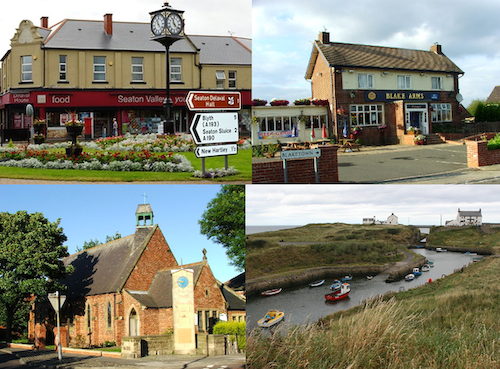
Topics > Northumberland > Seaton Sluice
Seaton Sluice
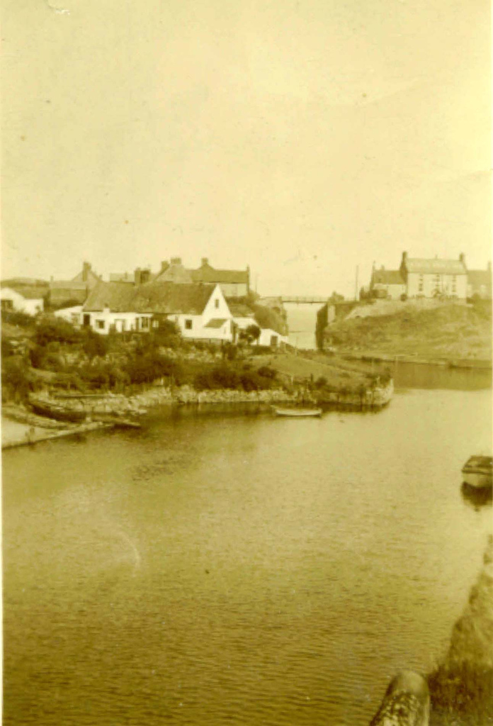
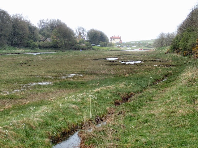
Seaton Sluice is a village in Northumberland. It lies on the coast at the mouth of the Seaton Burn, midway between Whitley Bay and Blyth. It has a population of about 3,000 people.
Early history
Seaton Sluice lies half a mile north of the village of Hartley, and was once part of it, being called Hartley Pans, because of the salt-pans that were used to make salt there from as far back as 1236. Hartley was once an area stretching from the Brier Dene Burn (in present-day Whitley Bay) to the Seaton Burn, which belonged to Tynemouth Priory. In 1100 the land became the property of the Hubert de Laval, nephew by marriage to William the Conqueror. The de Lavals (or Delavals) settled about half a mile inland from Hartley Pans and their place of residence became Seaton Delaval, the name 'Seaton' being derived from Old English meaning a settlement (ton) by the sea.
Harbour improvements
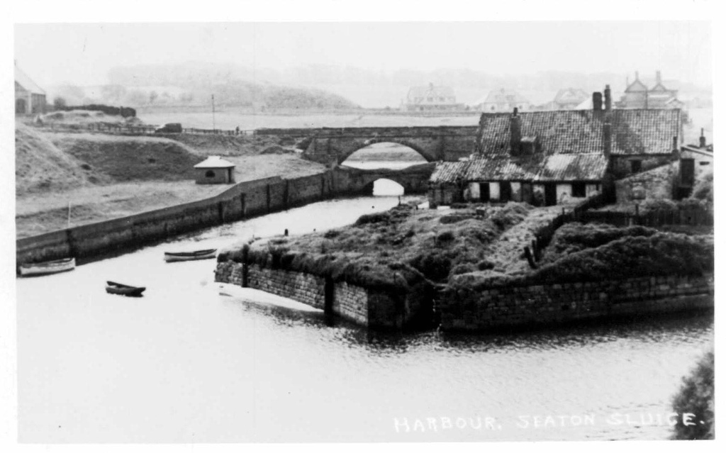
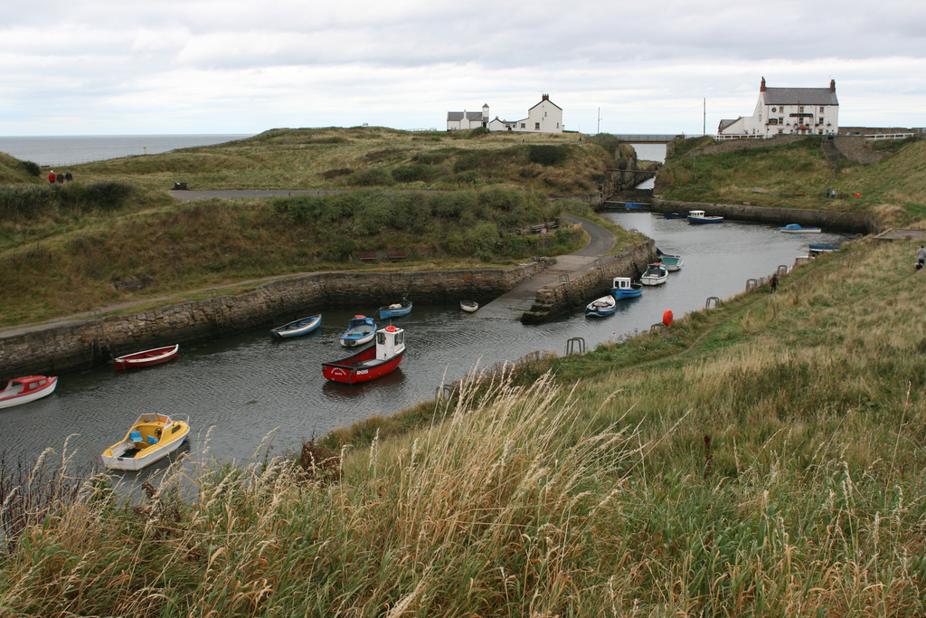
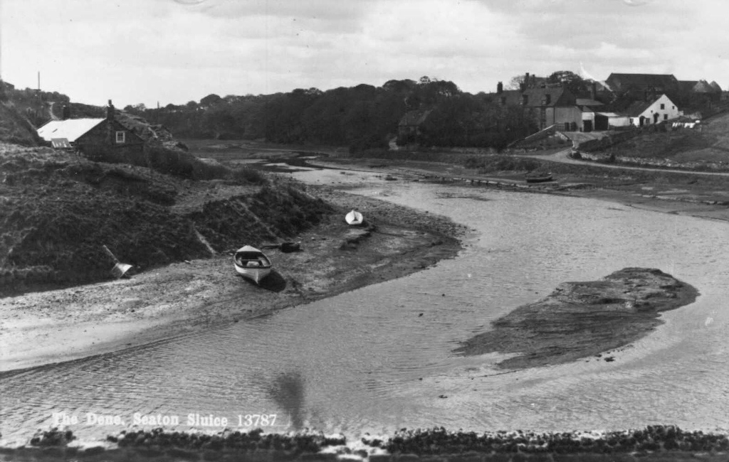
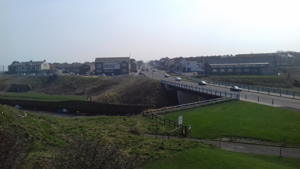
Prior to 1550 the salt produced at Hartley Pans had been transported to Blyth to be exported, but after this date it was shipped directly from the small, natural harbour. The village henceforth became known as Hartley Haven, and was used for the export of coal as well as salt. However the harbour was prone to silting, which limited access by ships. This problem was tackled by Sir Ralph Delaval (1622–1691), who had a pier constructed, and sluice gates that trapped the seawater at each high tide. At low tide the gates were opened, flushing the sand out of the harbour. Henceforth the village became known as Seaton Sluice.
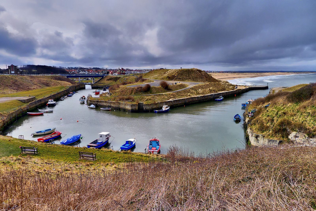
The harbour remained like this until the 1760s, when Sir John Humphry Delaval had a new entrance made for the harbour by blasting a channel through solid rock, providing what was known as 'The Cut', 54 ft deep, 30 ft wide and 900 ft long. The new channel was opened in 1763 and, as a result, the land between the old harbour entrance and the new channel became an island, known as 'Rocky Island'. The new channel could be sealed off at both ends to allow loading to continue no matter what the state of the tide. On the other side of the old channel, opposite Rocky Island, was a ballast hill known as Sandy Island, built up from the ballast of ships entering the harbour. The ballast hill can still be seen.
The new entrance proved to be a success, and in 1777, 177 ships sailed out of the harbour carrying 48,000 tonnes of coal. The coal was brought to the harbour from nearby collieries via wagonways, with coal wagons being drawn by horses. Salt continued to be exported from Seaton Sluice until 1798, when a new salt tax put an end to the trade.
The bottleworks
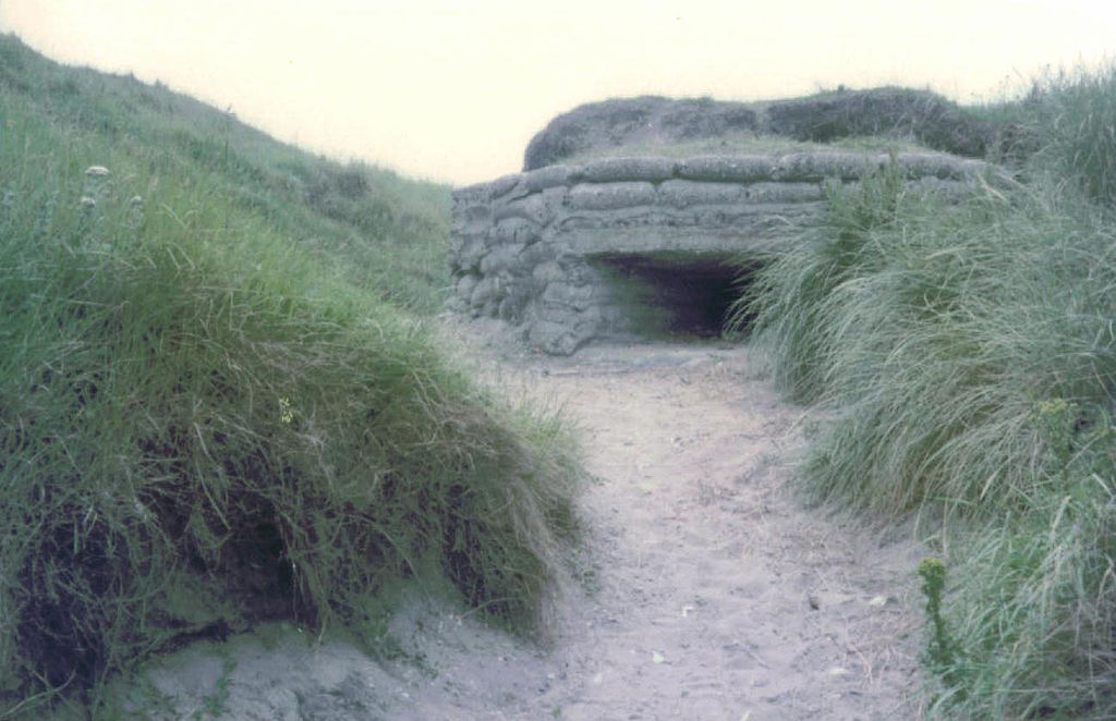
In 1763 Sir Francis Blake Delaval (1727–1771) obtained Parliamentary approval to develop 10 hectares of land at Seaton Sluice as glassworks. The works was known as 'The Royal Hartley Bottleworks'. Sir Francis needed skilled glassmakers, and his brother Tom Delaval brought skilled men from Neinberg, in Germany, to train the local men in glassmaking. The works used local materials: sea sand, sea kelp, clay from the links and local coal. The glassworks expanded with time and eventually had six large cone-shaped furnaces which dominated the skyline; they were given the names: Gallagan, Bias, Charlotte, Hartley, Waterford and Success. The three larger cones were 130 ft tall. In 1777 production reached 1,740,000 bottles per year. Bottles were sent down to the harbour via narrow gauge railways running through tunnels. The tunnels were used as air-raid shelters during the Second World War.
The bottles were carried to London on 'bottle sloops', slightly smaller than collier brigs, about 50 ft long. A distinctive feature was that the main mast could be lowered, allowing them to pass under the arches of old London Bridge. A bottle sloop would make one round trip to London per month, as did the collier brigs. Bottles were also exported to Europe.
The bottleworks were so large that they contained a market place, a brewery, a granary, a brickyard, a chapel, shops, public houses and a quarry. The workers lived in stone-built houses in several streets around the bottleworks. In 1768 a shipyard was established. Unfortunately, competition from other glass-making centres led to a decline in orders and the bottleworks closed in 1872. The last bottles to leave were on the 'Unity of Boston', bound for the Channel Islands. A few years later, in 1896, the cone-shaped furnaces were demolished and replaced by houses. Nowadays there is hardly any trace of the original bottleworks.
Decline of the coal trade
Even with the harbour improvements made by the Delaval family, the harbour was still limited in the size of ships that it could handle. Meanwhile, competing ports such as Blyth, to the north, and the Tyne to the south spent money improving the dock facilities. The new Northumberland Dock on the Tyne was completed in 1857. Seaton Sluice found it difficult to compete with these larger facilities.
A further blow to the coal trade from Seaton Sluice was the Hartley pit disaster that occurred at the village of New Hartley, about two miles west of Seaton Sluice. The Hester Pit was the main source of local coal. However, in 1862 there was a disaster when the beam of the pumping engine broke and fell down the only mineshaft, blocking it and trapping the miners underground. In all, 204 men and boys perished, in some cases several from the same family. The disaster led to the legal requirement in future mines, that there should always be two shafts. The loss of production from the Hester pit spelled the end of the coal trade from Seaton Sluice, and it became a quiet backwater.
An attempt in the early part of the 20th century to develop the village as a tourist resort failed as a railway line, intended to lead north up the coast from Whitley Bay, was partly constructed but then abandoned as the First World War intervened. The remains of railway bridges and embankments can still be seen to the west of St Mary's Island.
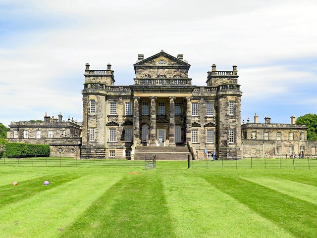
Seaton Delaval Hall
The Delavals settled at Seaton Delaval, inland from Seaton Sluice. There was already a Saxon church there and the Delavals built a fortified house near it. In 1100 Hubert de la Val rebuilt the Saxon church as the present Church of Our Lady on the same spot. The fortified house was gradually expanded during Tudor and Jacobean times to become an extensive manor house. In the early 18th century the manor house was replaced by the present Seaton Delaval Hall, designed by architect Sir John Vanbrugh. The hall was devastated by fire in 1822 and was partially restored.
Local interest
Seaton Sluice contains the following public houses:
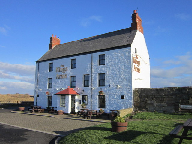
- The Kings Arms – the oldest pub in the village, situated right next to the bridge leading to Rocky Island. It was constructed in the mid-eighteenth century as the overseer’s house, but later became a pub. The Kings Arms is regarded by many as the best pub in the village.
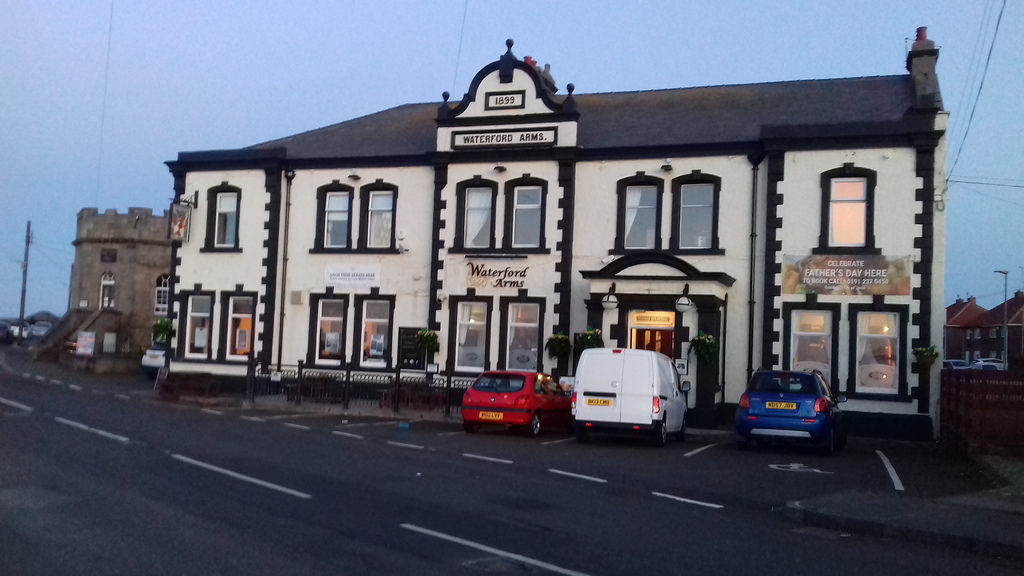
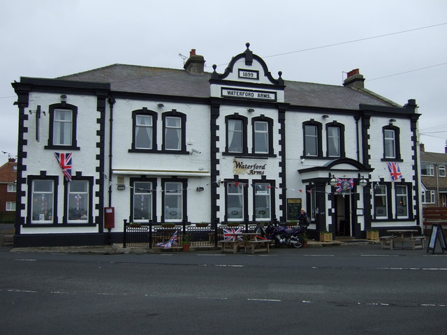
- The Waterford Arms – situated above the quay, named in honour of Susanna, Marchioness of Waterford, granddaughter to Lord Delaval who inherited the estate in 1822. The pub occupies the site of the brewery that supplied beer to the ships, as well as to the glassworkers at the bottleworks.
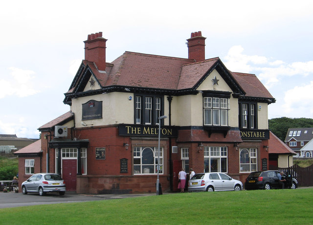
- The Melton Constable – built in 1839, on the north side of the burn. It was named in honour of the Astley family of Melton Constable in Norfolk, who inherited the Delaval estates in 1814.
- The Delaval Arms – situated at the south end of Hartley.
- The Astley Arms – situated at the north end of Seaton Sluice.
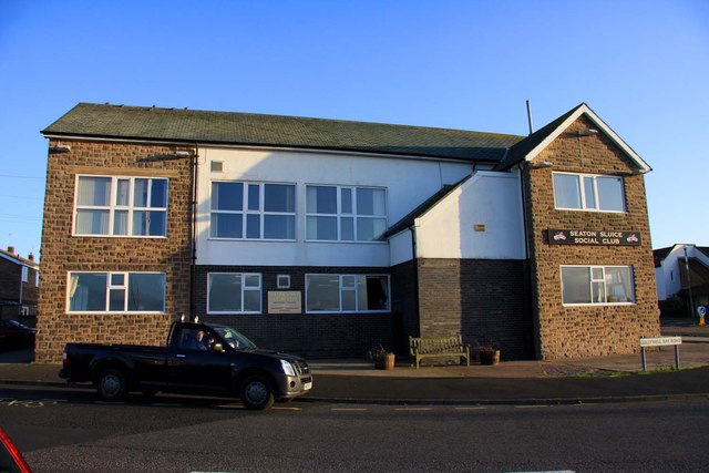
There is also Seaton Sluice Working Men's Club near the Waterford Arms.
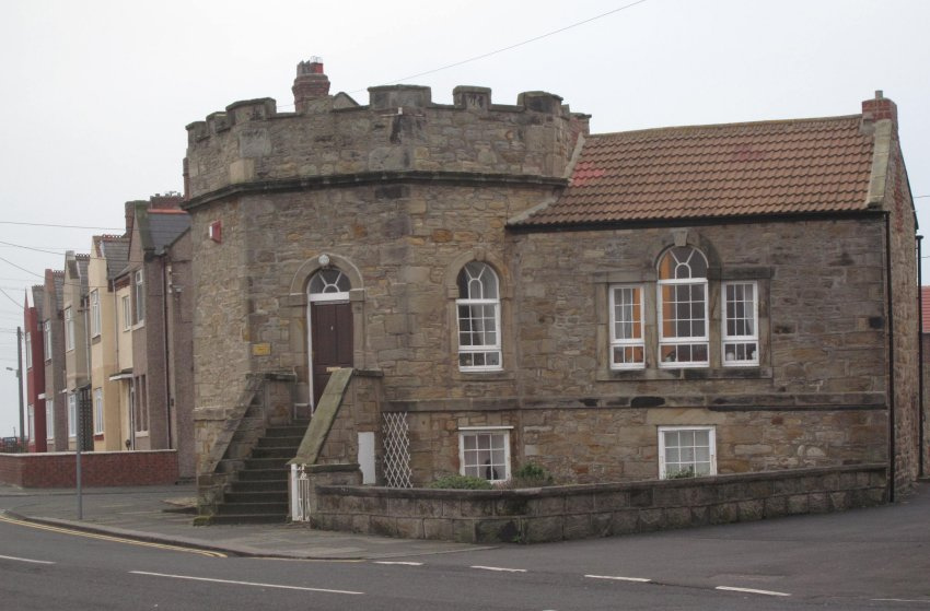
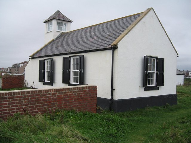
The Octagon, is a small castellated building to the east of the Waterford Arms. It was built sometime before 1750 as the Harbour Office. It is claimed that it was designed by Sir John Vanbrugh. It is now a private dwelling.
Seaton Delaval Hall, built by Sir John Vanbrugh between 1718 and 1729, for Admiral George Delaval, is on the outskirts of Seaton Sluice, on the road to Seaton Delaval. The hall, which is a Grade I listed building, is now owned by the National Trust and is open to visitors on designated days.
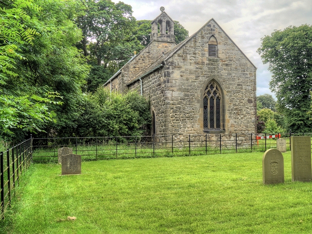
Near to Seaton Delaval Hall is the Church of Our Lady, built by the Delaval family in the 12th century, and altered in the 14th and 19th centuries. It is a Grade I listed building.
Holywell Dene is a tree-lined valley through which the Seaton Burn flows to Seaton Sluice. The valley contains paths running alongside the burn and is maintained by the group 'Friends of Holywell Dene'. There is a folly on the north bank of the dene known as 'Starlight Castle'. This was built by Sir Francis Delaval in 1750 after accepting a bet that he could build a home for a lady friend in a day.
North of the harbour mouth, past Sandy Island, are Blyth Sands, a wide, sandy beach, backed by sand dunes, stretching all the way to Blyth Harbour.
Visit the page: Seaton Sluice for references and further details. You can contribute to this article on Wikipedia.
from http://seaton-sluice.btck.co.…
Seaton Sluice and Old Hartley Local History Society
- Includes history and pictures of Seaton Sluice, Old Hartley and Seaton Delaval Hall
Added by
Simon Cotterill


Co-Curate Page
Church of Our Lady
- Overview Map Street View The Church of Our Lady lies within the grounds of Seaton Delaval Hall, just off The Avenue which runs between Seaton Sluice and Seaton Delaval. The …
Co-Curate Page
Old Hartley
- Overview About Old Hartley Map Street View Hartley is a historic village in Northumberland, England. The village lies on the A193 road south of Blyth and 4 miles north …
from https://www.flickr.com/photos…
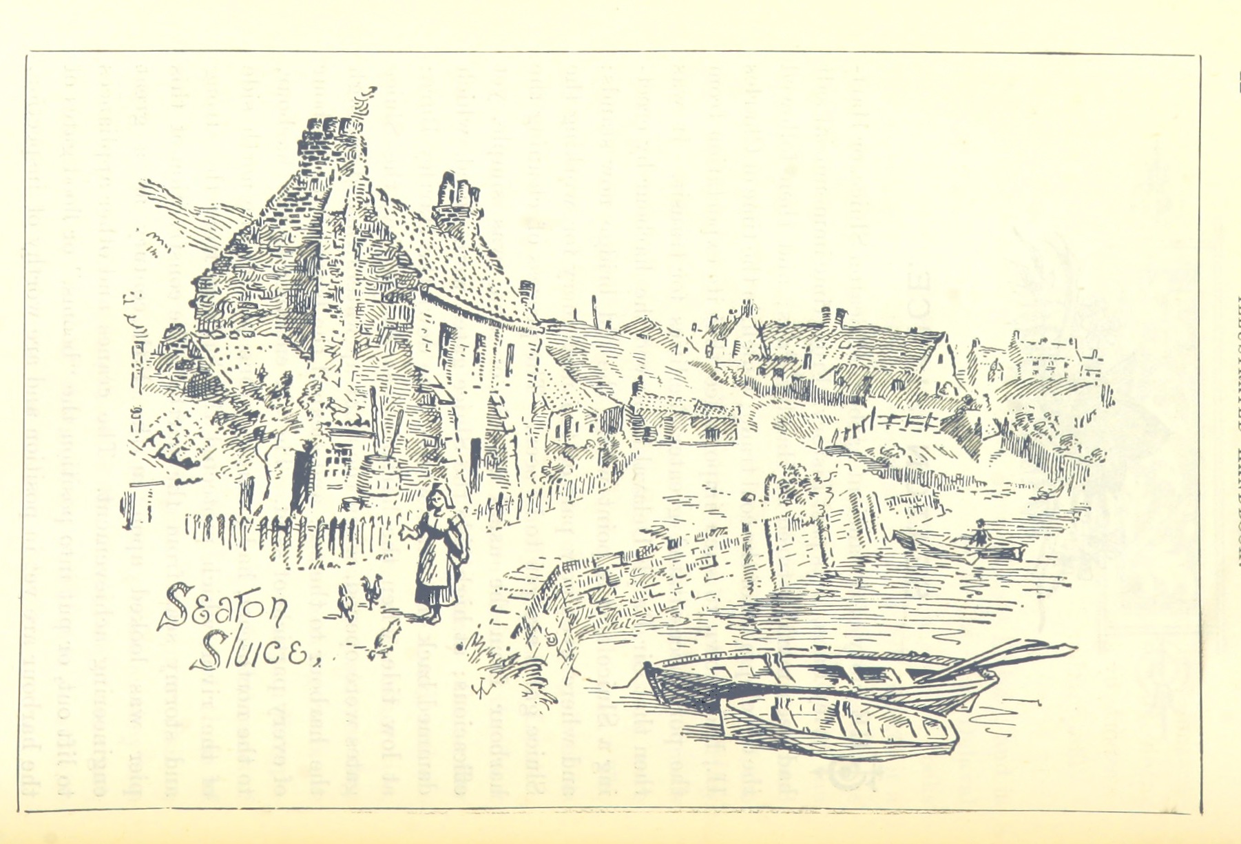
Seaton Sluice, sketch 1894
- Drawing from a book published in 1894, no known copyright restrictions. The original image was scanned by the British Library and rotated/resized. Image taken from:
Title: "Illustrated Handbook to the …
Added by
Simon Cotterill

from Youtube (youtube)
Seaton Sluice Harbour- Northumberland with my DJI PHANTOM 4 drone
Pinned by Simon Cotterill

Co-Curate Page
Seaton Burn (river)
- Map of Seaton Burn and it's Catchment Area. Marker shows position of the Tidal Limit. Seaton Burn is a small river in Northumberland. It arises near Brunswick Village as Hartley Burn, flowing …


Co-Curate Page
Seaton Delaval Conservation Area
- Note: Map data from Northumberland County Council c/o Open Data UK, under the Open Government Licence, imported into Google MyMaps, February 2026. Check with NCC for amendments and updates.


from http://seaton-sluice.btck.co.…
Seaton Sluice and Old Hartley Local History Society
- Includes history and pictures of Seaton Sluice, Old Hartley and Seaton Delaval Hall
Added by
Simon Cotterill
Co-Curate Page
Church of Our Lady
- Overview Map Street View The Church of Our Lady lies within the grounds of Seaton Delaval Hall, just off The Avenue which runs between Seaton Sluice and Seaton Delaval. The …
Co-Curate Page
Old Hartley
- Overview About Old Hartley Map Street View Hartley is a historic village in Northumberland, England. The village lies on the A193 road south of Blyth and 4 miles north …
from https://www.flickr.com/photos…
Seaton Sluice, sketch 1894
- Drawing from a book published in 1894, no known copyright restrictions. The original image was scanned by the British Library and rotated/resized. Image taken from:
Title: "Illustrated Handbook to the …
Added by
Simon Cotterill
from Youtube (youtube)
Seaton Sluice Harbour- Northumberland with my DJI PHANTOM 4 drone
Pinned by Simon Cotterill
Co-Curate Page
Seaton Burn (river)
- Map of Seaton Burn and it's Catchment Area. Marker shows position of the Tidal Limit. Seaton Burn is a small river in Northumberland. It arises near Brunswick Village as Hartley Burn, flowing …
Co-Curate Page
Seaton Delaval Conservation Area
- Note: Map data from Northumberland County Council c/o Open Data UK, under the Open Government Licence, imported into Google MyMaps, February 2026. Check with NCC for amendments and updates.

Northumberland
Beach, Seaton Sluice
Church of St Paul, Seaton Sluice

Collywell Bay, Seaton Sluice

Historical Account of Seaton Sluice, 1894
Holywell Dene
Kings Arms, Seaton Sluice

Lookout Farm, The Avenue, Seaton Sluice
Map and Aerial View of Seaton Sluice

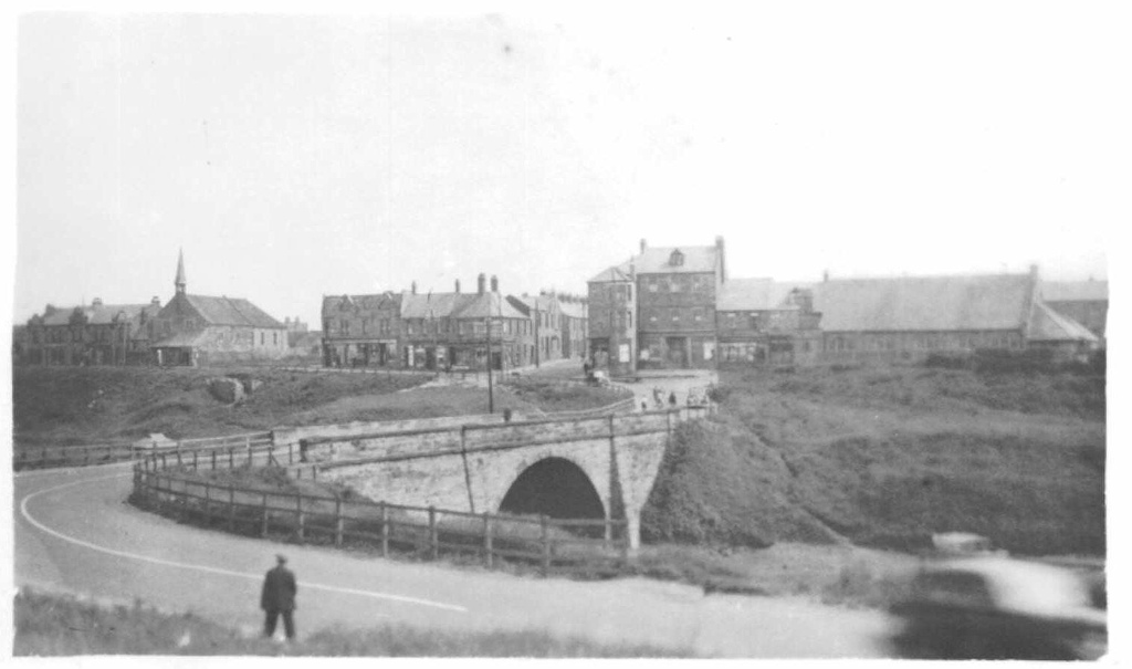
Seaton Sluice and Old Hartley, 1855

Seaton Sluice at War

Seaton Sluice First School
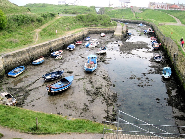
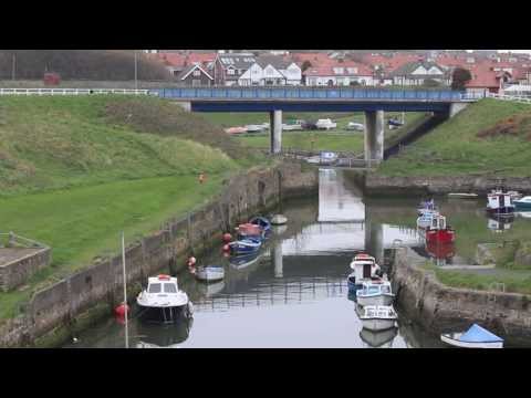
Seaton Sluice Harbour
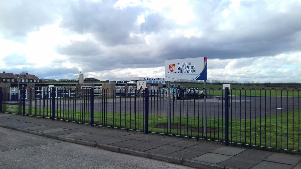
Seaton Sluice Middle School
Seaton Sluice, 1839

Seaton Sluice, 1848
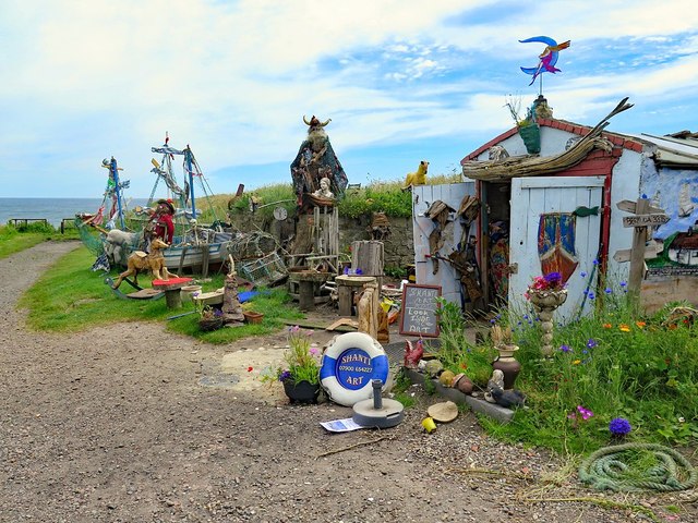
Shanti Art, Seaton Sluice
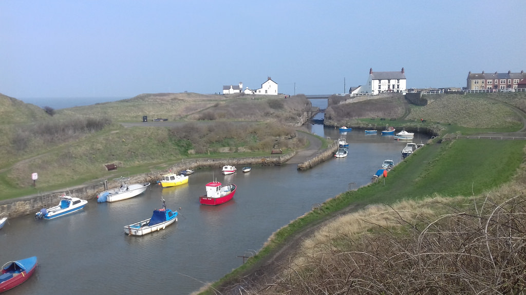
The Cut and Rocky Island, Seaton Sluice
The Melton Constable, Seaton Sluice
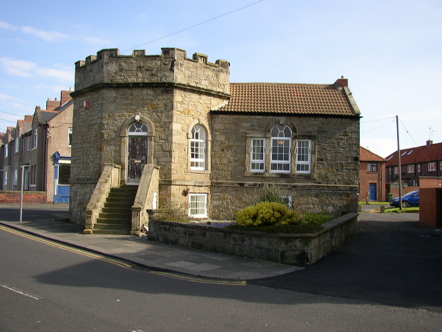
The Octagon, Seaton Sluice
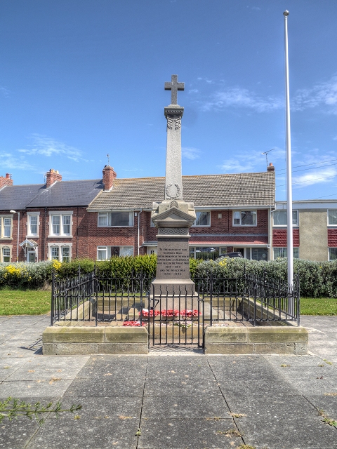
War Memorial, Seaton Sluice
Watch House Museum, Seaton Sluice
Waterford Arms, Seaton Sluice