Topics > Northumberland > Craster
Craster
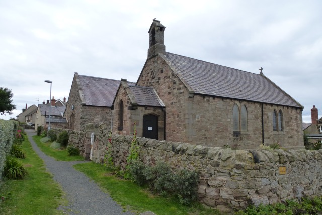
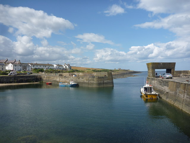
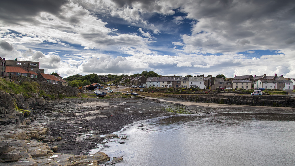
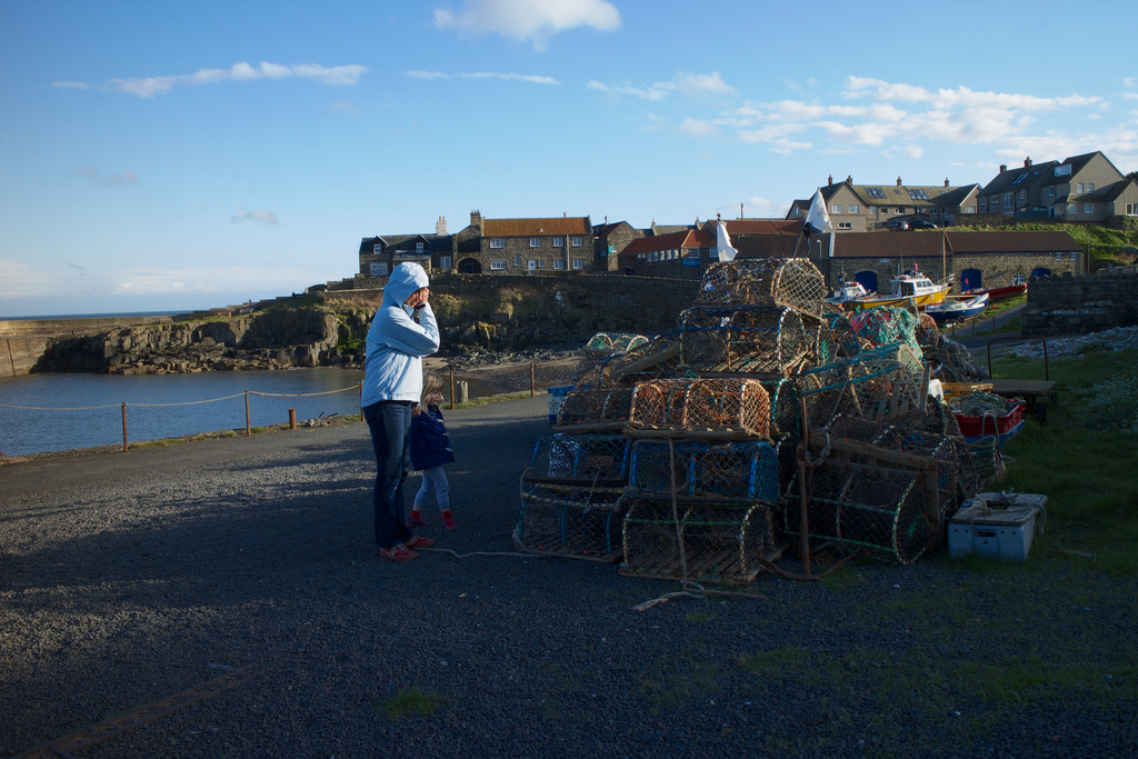
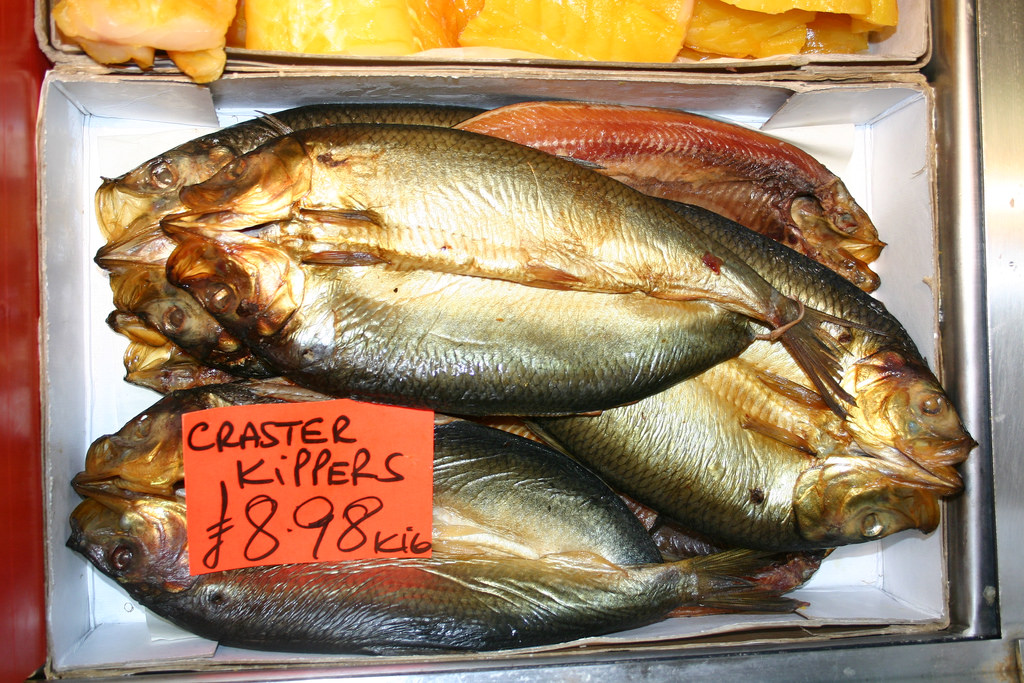
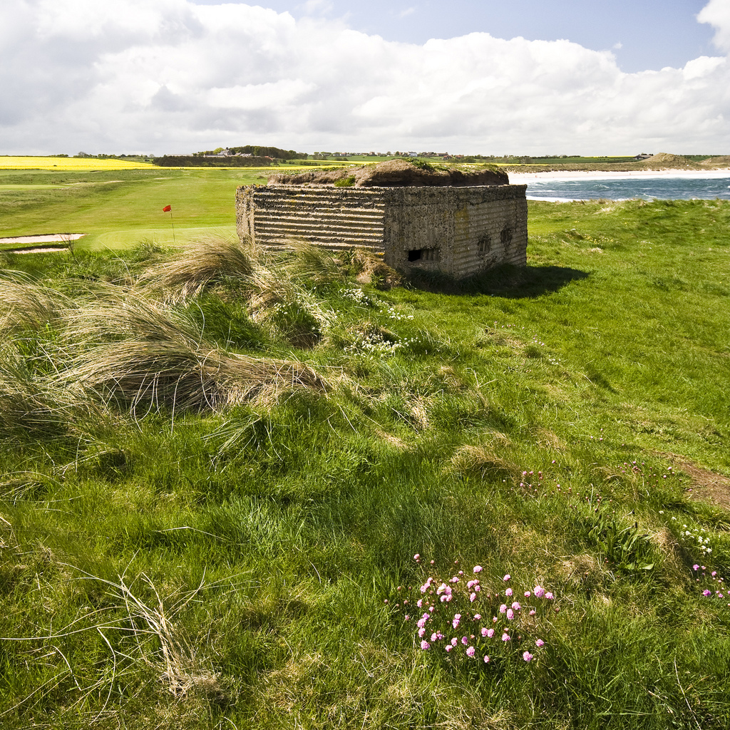
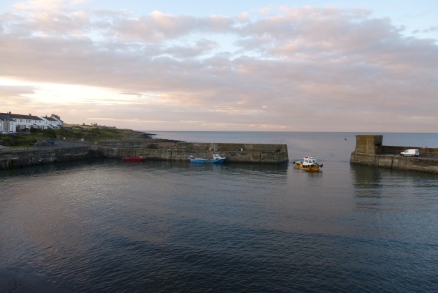
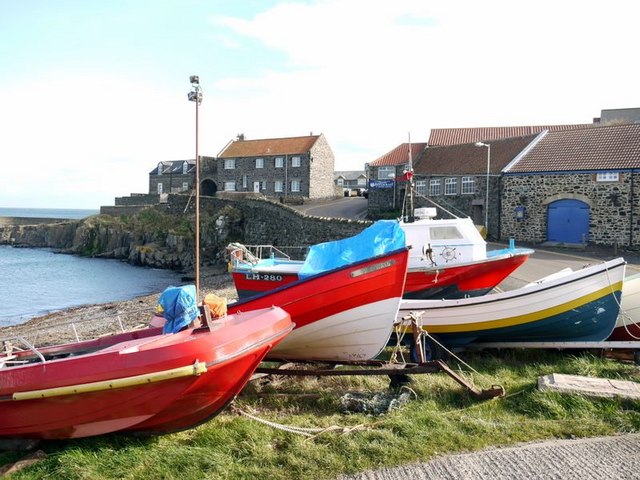
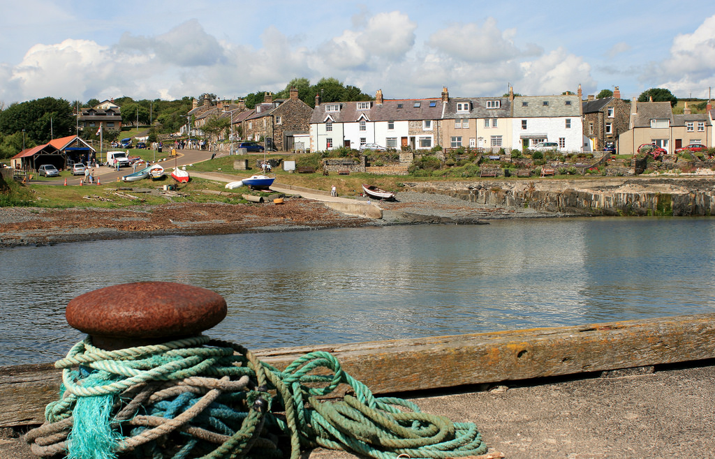
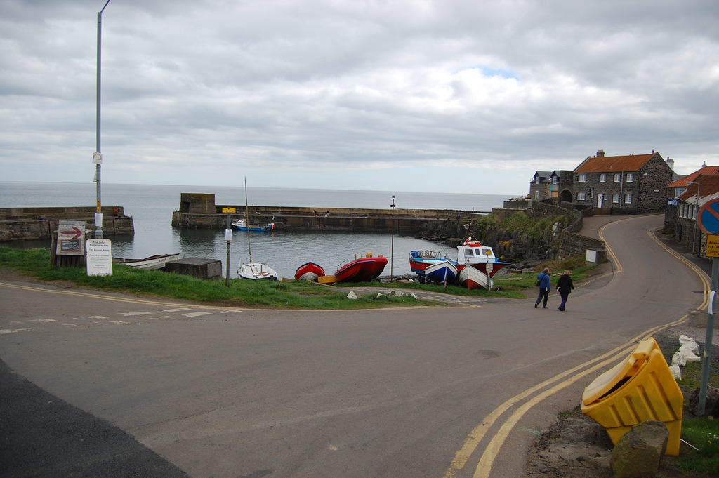
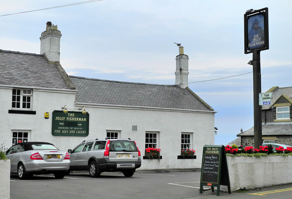
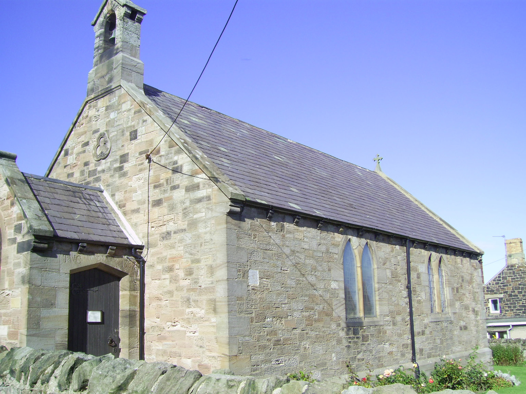
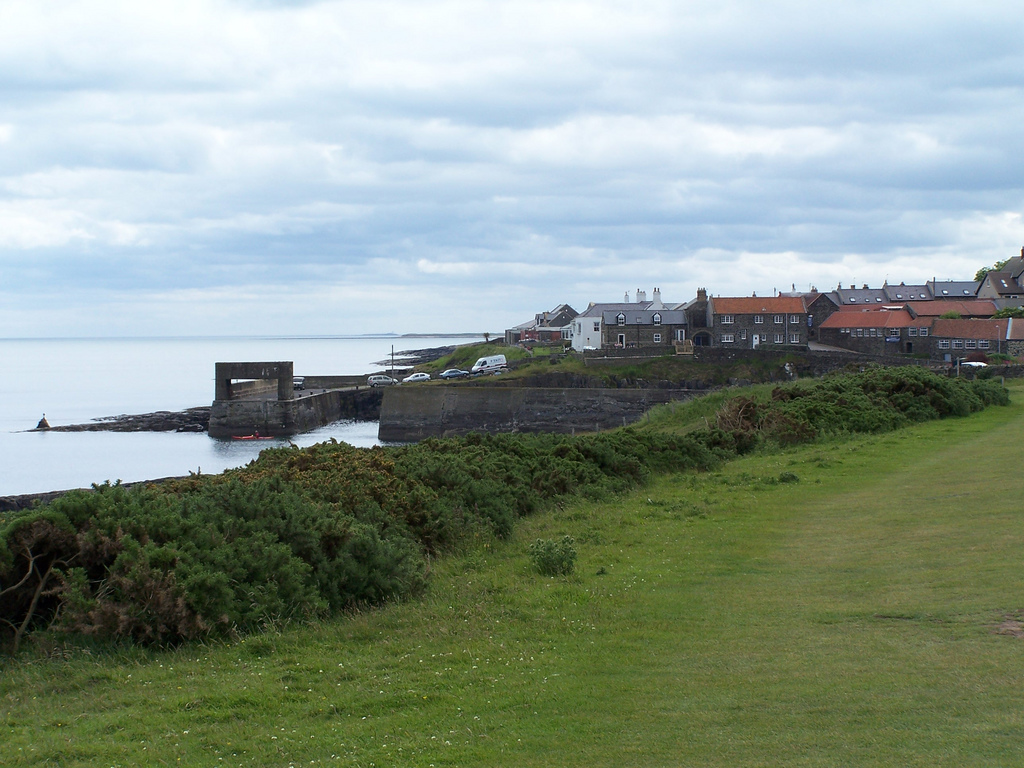
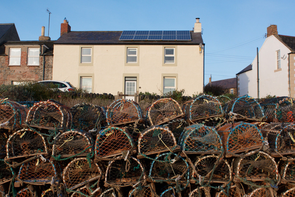
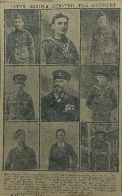
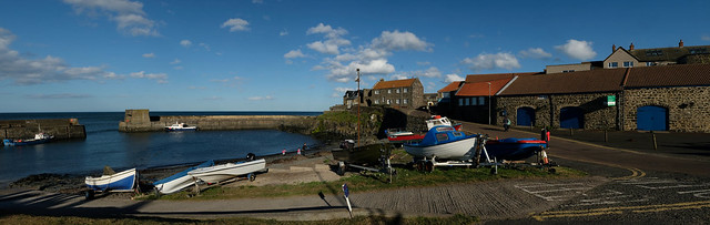
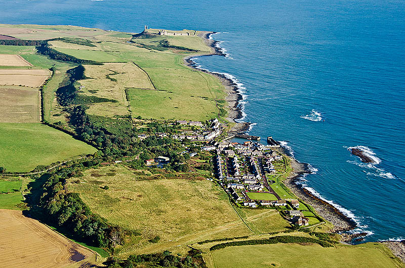
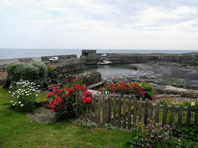
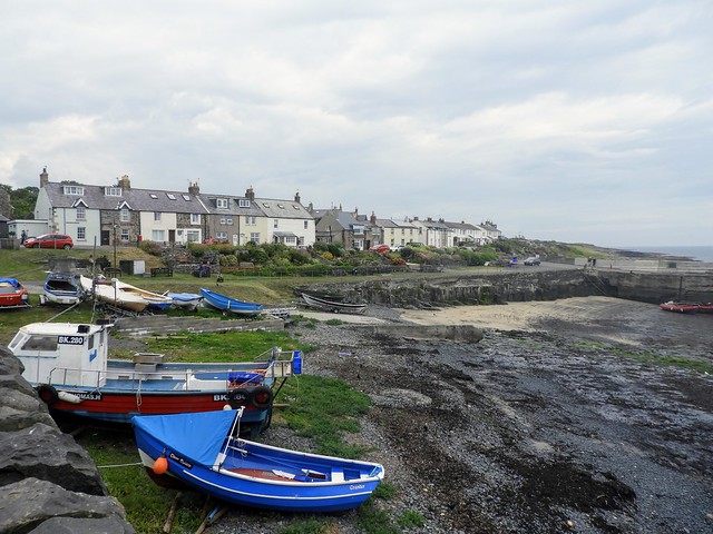
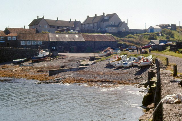
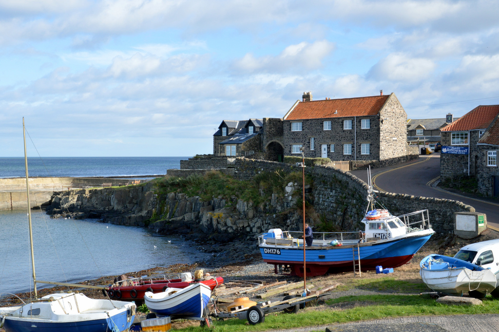 Craster is a fishing village in Northumberland, famous for producing "Craster kippers". Craster has been a fishing haven since at least the 17th century. The harbour was built in 1906, which as well as fishing also supported exporting whinstone from local quarries[1]. During World War 2, a radar station was built and a number of pillboxes were built around Craster. Craster is the nearest point of access to Dunstanburgh Castle. Historically, Craster was a township in the ancient parish of Embleton. Today, the village forms part of Craster Civil Parish.
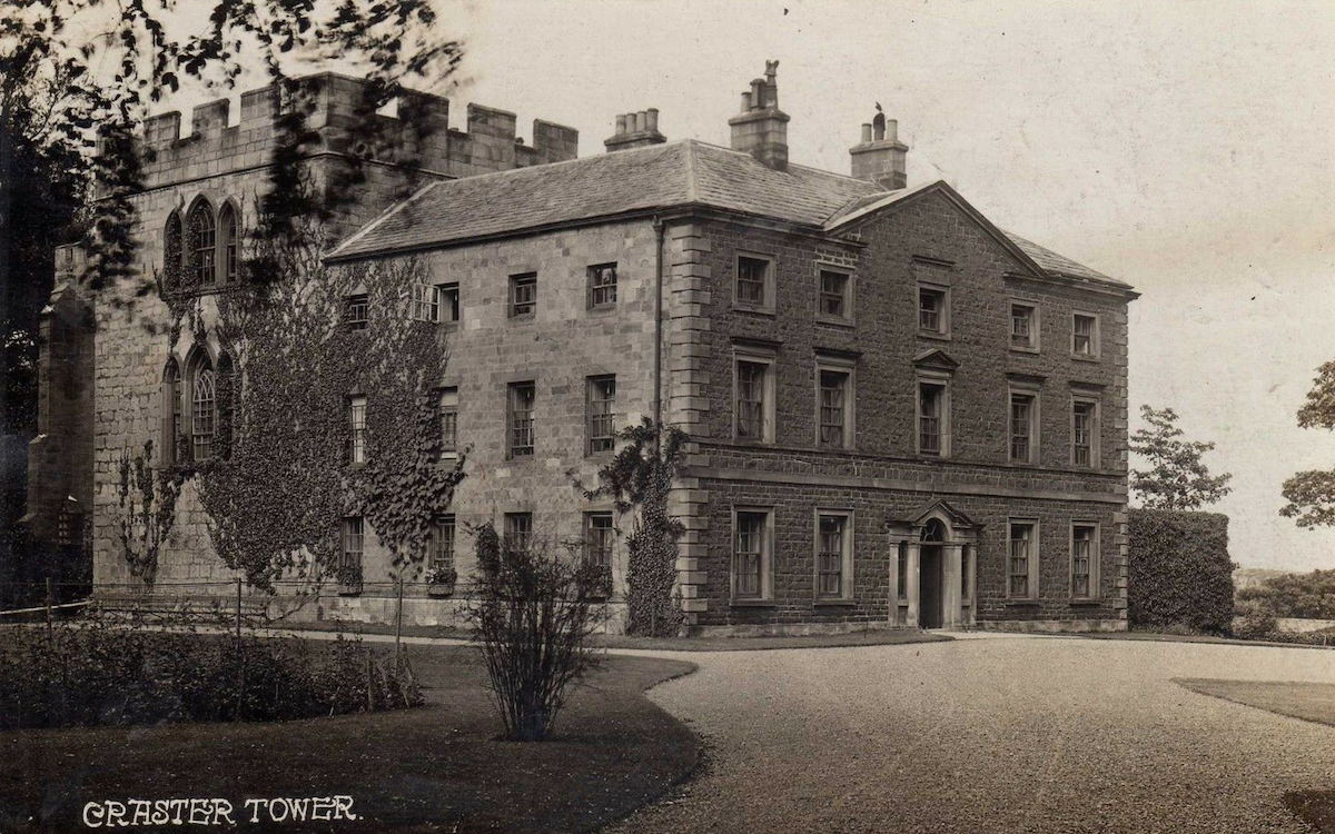
CRASTER, a township, in the parish of Embleton, union of Alnwick, S. division of Bambrough ward, N. division of Northumberland, 6¼ miles (N.E.) from Alnwick; containing 247 inhabitants. In 1272 the manor was held by William de Craucestr', by the service of half a knight's fee, and it has continued in his family to the present time; his descendants in the 14th century altered their name to Craster. Craster Tower, the seat of Thomas Wood Craster, Esq., is surrounded with plantations, and commands fine land and sea views. The village, which is called Craster Sea-Houses, is situated on the coast.
Extract from: A Topographical Dictionary of England comprising the several counties, cities, boroughs, corporate and market towns, parishes, and townships..... 7th Edition, by Samuel Lewis, London, 1848.
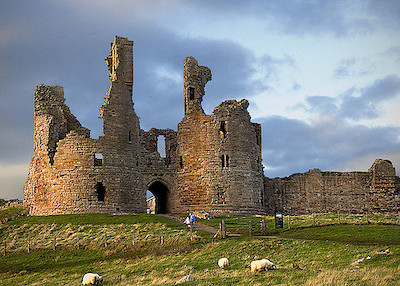
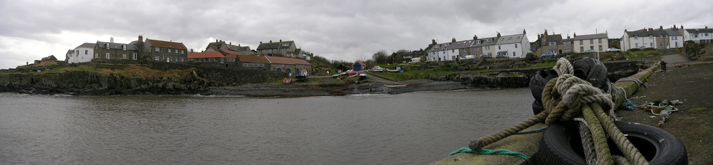
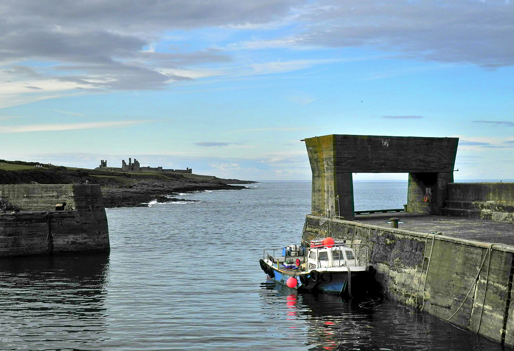
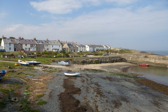
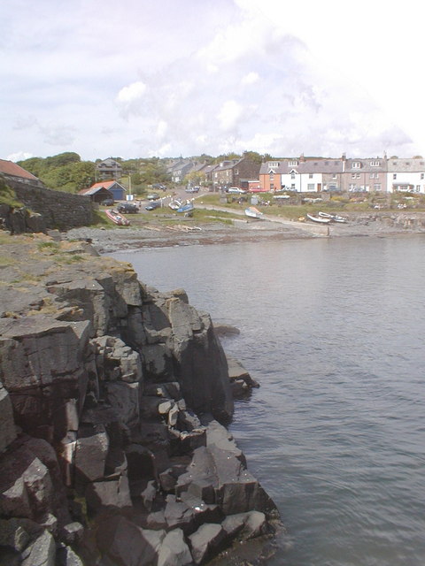
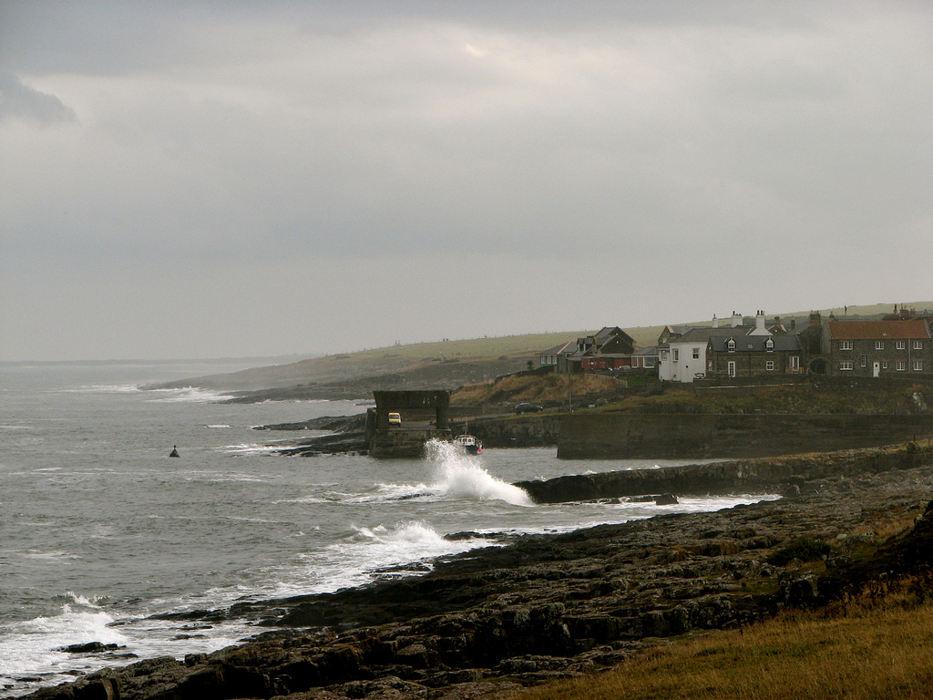
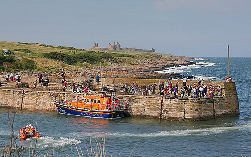
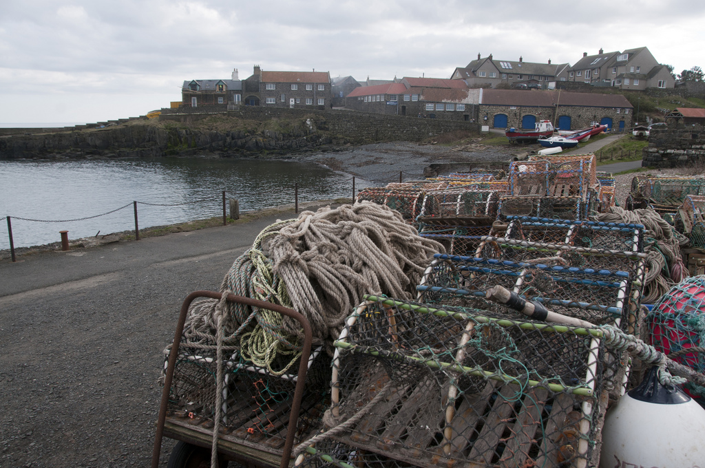
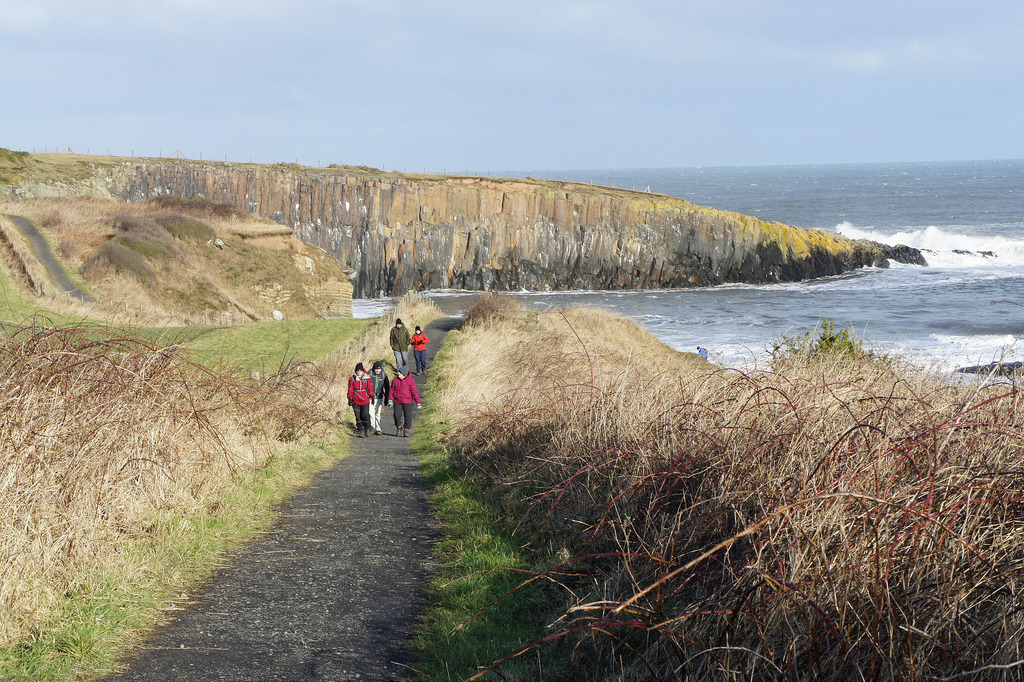
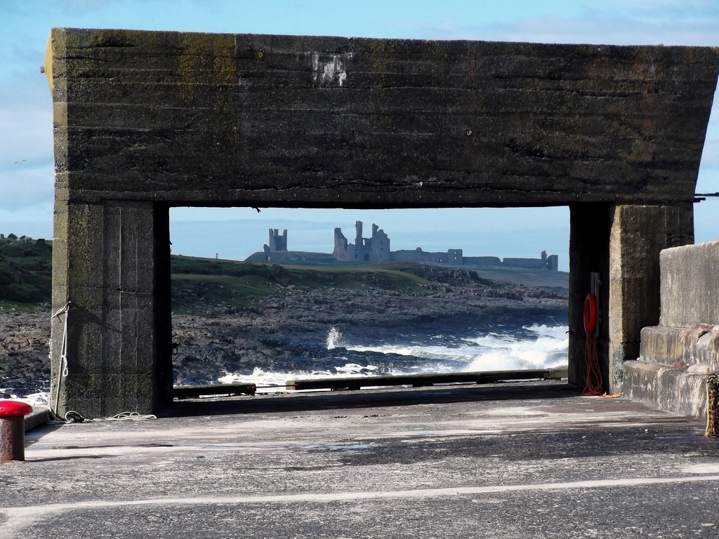
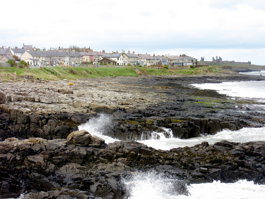
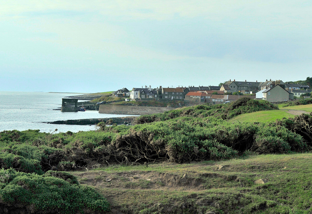
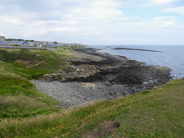
Craster is a small fishing village on the Northumbrian coast of England. It has a small harbour and offers a view northwards along the rocky shore to the ruins of Dunstanburgh Castle. This is the nearest point of access to the castle and the approach must be made on foot as there is just a grassy path. The next village to the north is Embleton.
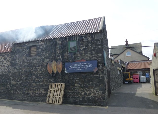
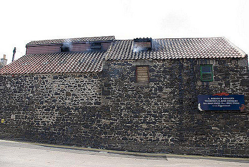
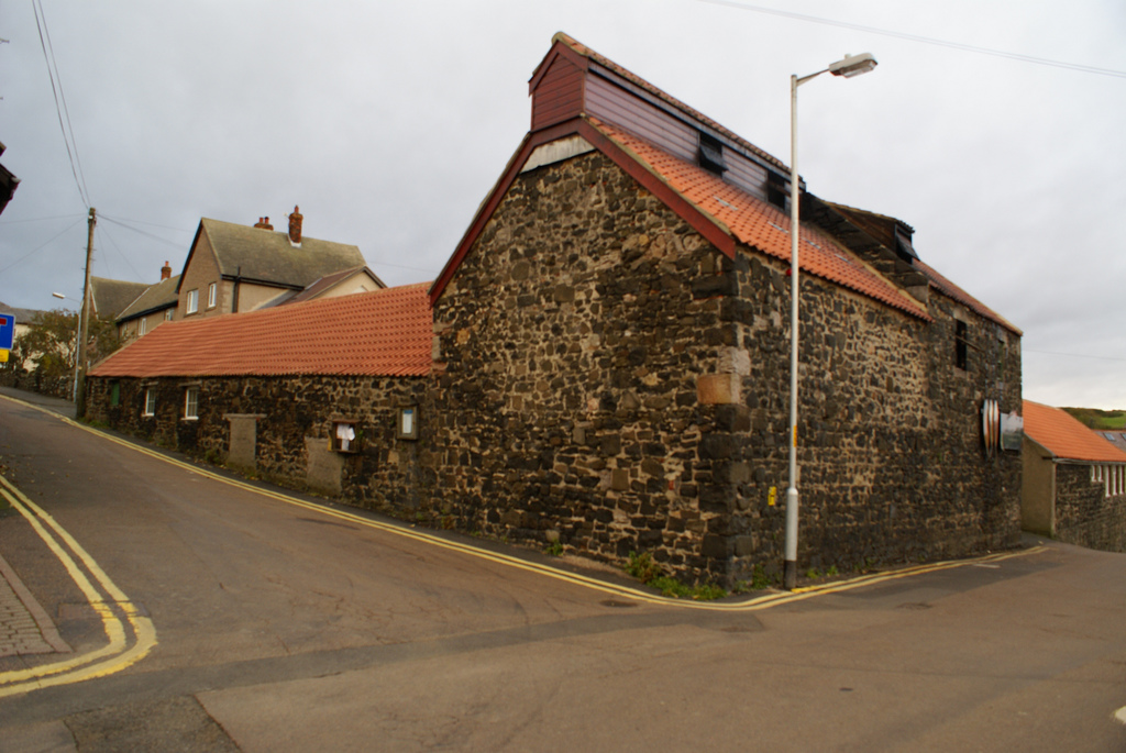
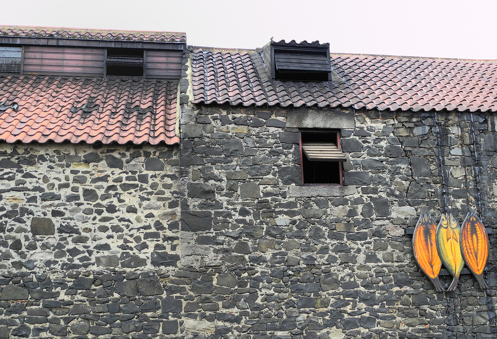
For many years, the village has had a herring-curing business: Craster kippers are well known in England. The local herrings are smoked in a traditional manner by the Robson family.
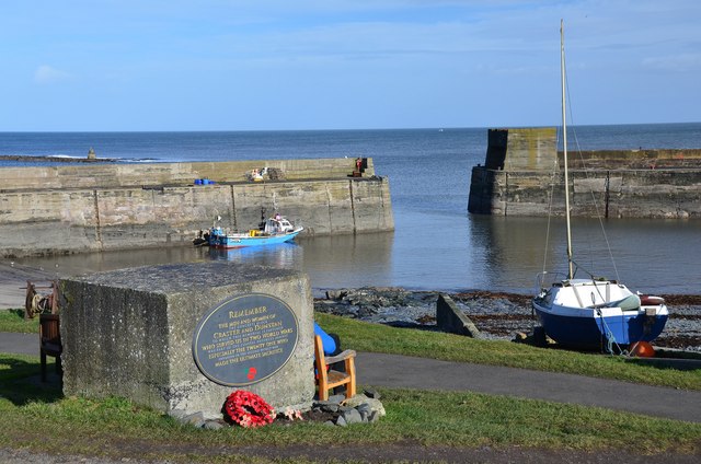
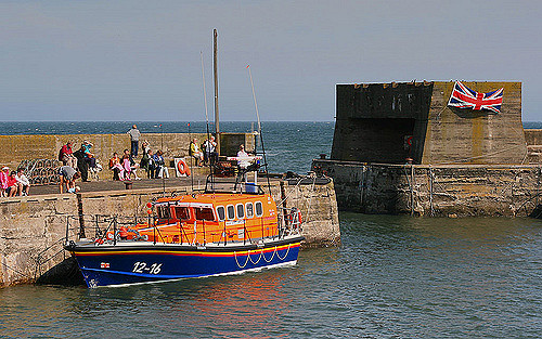
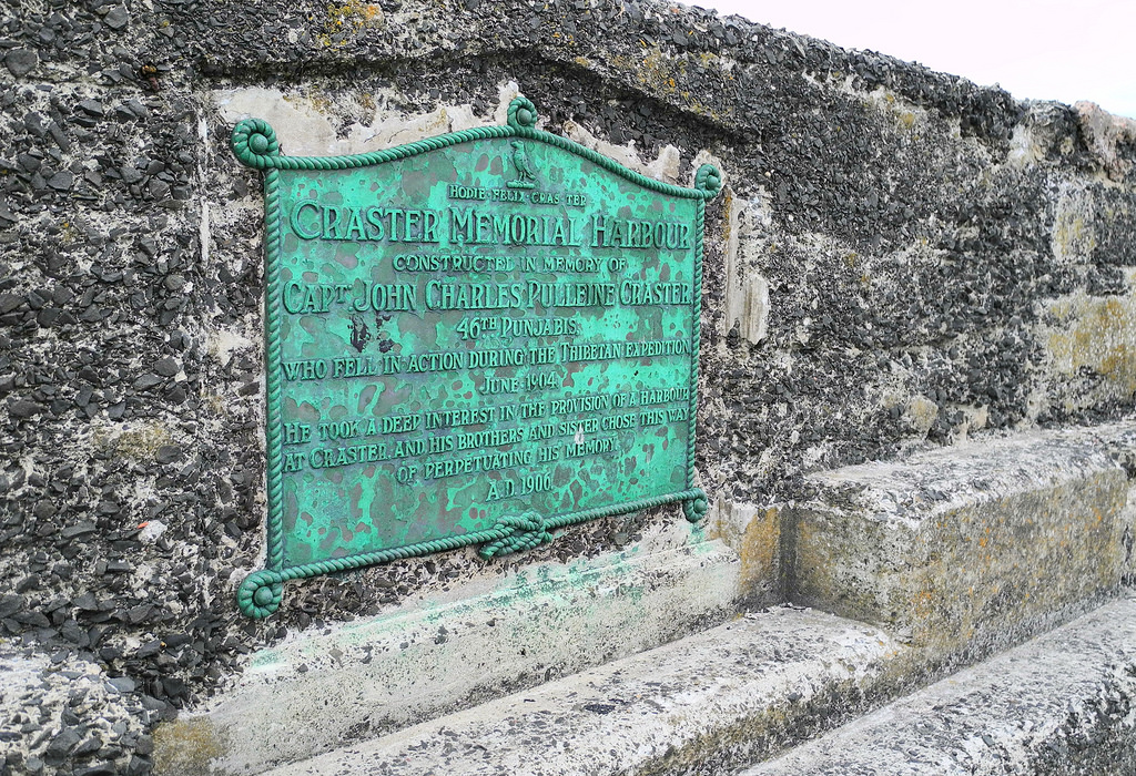
The remains of a tower on the end of the harbour are all that can be seen now of the much taller building which was part of the overhead equipment which used to convey the local stone from where it was quarried to boats in the harbour. The disused quarry is now a car park. A small distance inland lies Craster Tower, the home of the Craster family who owned the quarry and had the harbour improved for its benefit. A memorial on the harbour wall commemorates a member of the Craster family who died serving with the British Army in Tibet in the 19th century. The development of the harbour serves as a memorial to their son.
The walk along the coast to the south passes by Cullernose Point, an example of the basaltic cliffs which are a significant feature of the local landscape. It is within the Northumberland Coast Area of Outstanding Natural Beauty.
A mile to the west, Dunstan Hall is a mansion incorporating a medieval peel tower, now used as holiday accommodation.
Google Map: drag to move the view, zoom in and out using the control (lower right-hand corner); switch to map view (lower left-hand control)


from http://www.crasterhistory.org…
Craster Local History Group
- "The Craster Local History Group was formed in 2006 with the objective of promoting interest in the history of the North East with particular reference to the Craster area...."
Added by
Simon Cotterill

from Youtube (youtube)
Craster from the sky! View in HD! August 2015. Northumberland drone footage
Pinned by Simon Cotterill
from Flickr (flickr)
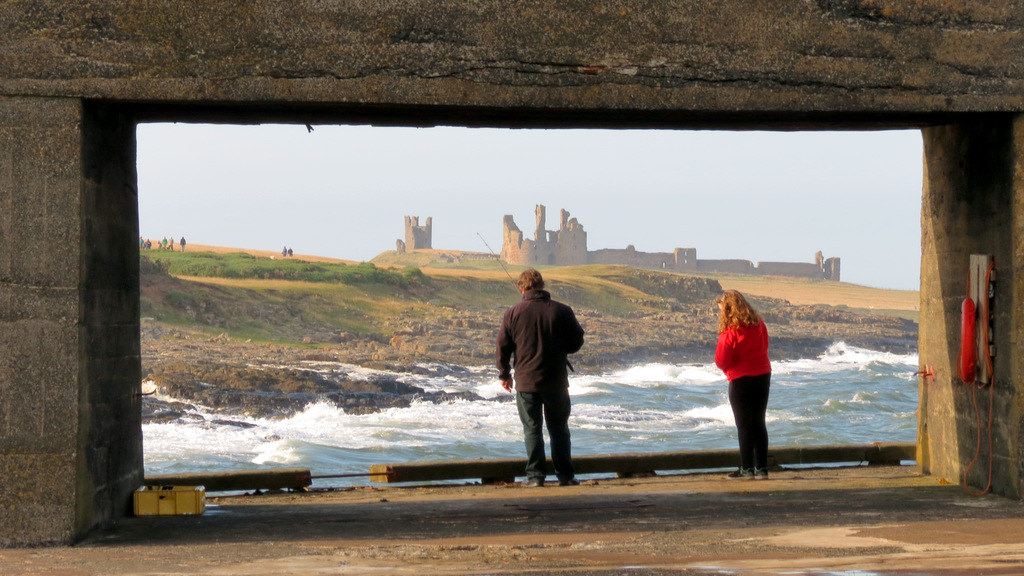
The view through Craster boat launch wall of Dunstanburgh Castle
Pinned by Simon Cotterill
from http://www.wecanmindthetime.o…
Craster Living History - The Life and People
- Craster folk have been saying for some time that the village is at risk of losing its community memories.....Fortunately, the experiences and stories of older villagers were valued enough for …
Added by
Simon Cotterill

Co-Curate Page
Embleton Parish, 1855
- Extract from: History, Topography, and Directory of Northumberland...Whellan, William, & Co, 1855. EMBLETON PARISH EMBLETON parish comprises the chapelries of Rock and Rennington, and the townships of Broxfield, Brunton …

from http://www.crasterhistory.org…
Craster Local History Group
- "The Craster Local History Group was formed in 2006 with the objective of promoting interest in the history of the North East with particular reference to the Craster area...."
Added by
Simon Cotterill
from Youtube (youtube)
Craster from the sky! View in HD! August 2015. Northumberland drone footage
Pinned by Simon Cotterill
from Flickr (flickr)
The view through Craster boat launch wall of Dunstanburgh Castle
Pinned by Simon Cotterill
from http://www.wecanmindthetime.o…
Craster Living History - The Life and People
- Craster folk have been saying for some time that the village is at risk of losing its community memories.....Fortunately, the experiences and stories of older villagers were valued enough for …
Added by
Simon Cotterill